Green Harbor River
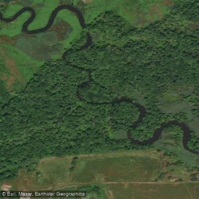
Green Harbor River
- Boat Ramps
- 0
- Access Points
- 0
- Campsites
- 0
The Green Harbor River flows through Marshfield, Massachusetts, creating a tranquil tidal waterway that meanders through salt marshes and red cedar swamps before reaching the Atlantic Ocean. This coastal river system is protected in part by Mass Audubon's Daniel Webster Wildlife Sanctuary, which encompasses significant portions of its upper reaches. The river's course takes paddlers through a remarkably peaceful landscape where tall reeds and marsh grasses create the illusion of wilderness despite the proximity to coastal development.
The primary paddling route on the Green Harbor River is an out-and-back journey that launches from Peter Igo Park at 29 Marshall Avenue in the Brant Rock section of Marshfield. This flatwater route extends upstream for approximately one hour of paddling to reach the first of two wooden bridges at Daniel Webster Wildlife Sanctuary, making for a 2-3 hour round trip covering roughly 4-5 miles total. The presence of a tide gate at Route 139 helps maintain consistent water levels throughout the tidal cycle, making this one of the more forgiving coastal paddles where timing matters less than on other tidal rivers. Paddlers can access the river via a 500-foot portage from Peter Igo Park, where parking is limited but the launch site remains relatively uncrowded.
The river corridor supports diverse wildlife populations including river otters, turtles, and numerous bird species that inhabit the salt marsh ecosystem. Red maple forests with their characteristic twisted branches line portions of the riverbank, particularly near the sanctuary bridges. The narrow river channel and surrounding marsh create excellent opportunities for wildlife observation, especially when summer reeds reach their full height.
This route welcomes paddlers of all skill levels, from complete beginners to experienced kayakers. Mass Audubon regularly conducts guided kayak explorations here, providing equipment and instruction for those new to the sport. The calm, protected waters and relatively short distance make it ideal for introducing novice paddlers to coastal marsh environments.
Green Harbor village sits on the western bank near the river's mouth, where a marina and the Green Harbor Yacht Club mark the transition to the harbor proper. The river's accessibility and gentle nature have made it a favorite among local paddling instructors and a regular destination for those seeking a peaceful escape into the salt marsh ecosystem. Standard safety considerations include carrying personal flotation devices, monitoring weather forecasts, and being mindful of wind conditions which can affect paddling effort as much as tidal flow.
Water access, boat ramps & amenities
Learn how to get on Green Harbor River. Uncover great paddling access points, boat ramps, and all the facilities you need for an unforgettable day on the water. Some locations shown may border or include private property. Always check property boundaries and applicable regulations before visiting. PaddleWays's Public & Private Land layer can help you plan your access with confidence.
Paddle smarter with real-time insights
Whether you're en route and conditions shift or you're looking for the best spot based on current flows, we enable you to make informed decisions on the fly.








Find Places to Paddle

Over 400,000 Places to Paddle
Every user gets free access to launch points, boat ramps, and public property parcels.


Water and weather conditions (10 day forecast)
See the best times to paddle Green Harbor River and check the forecast before you go.
No forecast data available.
Paddling near Green Harbor River

Taunton River

Charles River

Massachusetts Bay

Concord River

Merrimack River

Broad Sound

Sudbury River

Assabet River
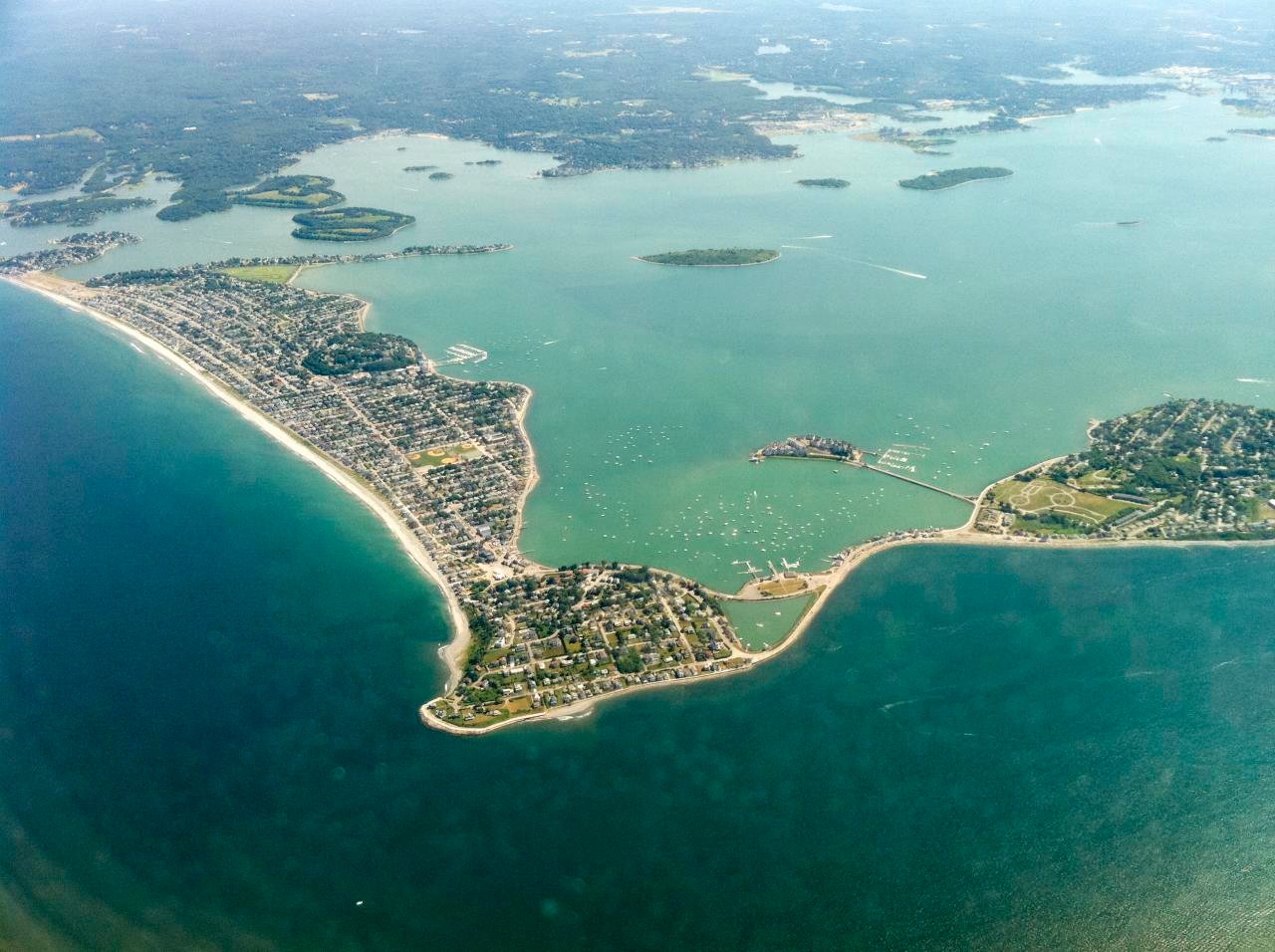
Hingham Bay
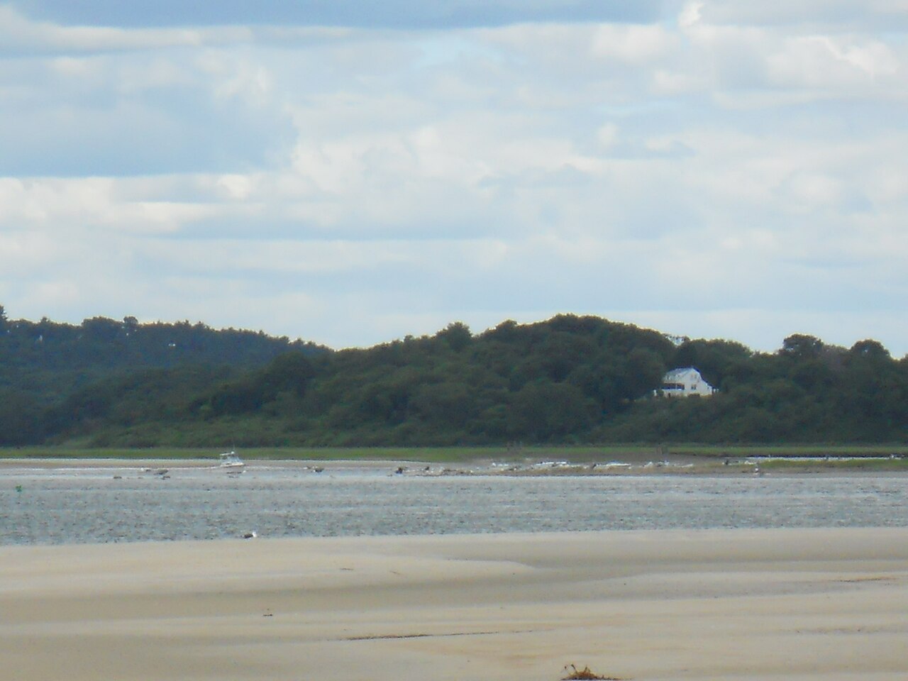
Ipswich River
Explore Massachusetts waters
Top paddling waters
Popular Cities
Loading popular cities...
Explore near Green Harbor River
Access points
Nearby waters
More in Massachusetts

Smarter Paddling Starts in the App.
Paddleways gives you everything you need to plan smarter, paddle better, and own every trip from first launch to takeout.