Wankinco River
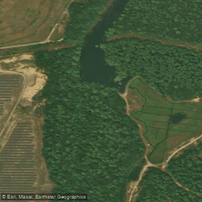
Wankinco River
- Boat Ramps
- 1
- Access Points
- 1
- Campsites
- 0
The Wankinco River flows through southeastern Massachusetts, originating from East Head Pond and winding through the towns of Plymouth, Carver, and Wareham before merging with the Agawam River to form the Wareham River. This approximately 7.3-mile second-order stream has been extensively modified by cranberry bog operations, creating a series of impoundments including Parker Mills Pond and Tihonet Pond along its course. The river flows generally southward through the coastal plain, eventually reaching its confluence near Route 6 in Wareham.
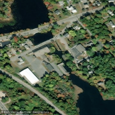
Paddling opportunities on the Wankinco River center on tidal flatwater experiences launching from behind the historic Tremont Nail Factory on Elm Street in Wareham. The round-trip paddle covers approximately 6 miles, heading south and east from the put-in before returning to the same location. Paddlers pass the Parker Mills Pond Dam on the left shortly after launching, then continue downstream past the Wareham Center train station on the western bank. The route extends to the river's mouth where it meets the Agawam River, with the Route 6 bridge visible across the Wareham River. The return journey follows the same path upstream on the Wankinco.
This flatwater paddle requires no whitewater skills but demands careful attention to tidal conditions. The river's tidal nature creates significant variations in water depth, and paddlers caught at low tide may encounter muddy shallows requiring portaging or even exiting the kayak. Trip duration typically runs 2 hours and 40 minutes for the complete circuit. High tide provides optimal conditions with sufficient water depth throughout. Mid-tide starts can result in challenging shallow conditions on the return, making tide chart consultation essential for trip planning.
The Wankinco serves as important habitat for river herring, which utilize Parker Mills Pond and Tihonet Pond for spawning and nursery areas. Multiple fish ladders and passages have been installed at the dams to facilitate anadromous fish migration, though their effectiveness varies. The river's manipulation by cranberry operations has created a mix of natural stream channels and artificial impoundments that support diverse wetland ecosystems.
The Parker Mills Dam, constructed in 1900, stands as a notable landmark with its concrete and wooden board construction. Upstream, Tihonet Pond's dam system includes both Denil and weir-pool style fish ladders. The Tremont Nail Factory buildings, marked by prominent signage, serve as the primary access point and a historical landmark reflecting Wareham's industrial heritage.
Paddlers should expect shallow conditions, particularly during lower tidal stages, and plan launches to coincide with higher water levels for the most enjoyable experience.
Water access, boat ramps & amenities
Learn how to get on Wankinco River. Uncover great paddling access points, boat ramps, and all the facilities you need for an unforgettable day on the water. Some locations shown may border or include private property. Always check property boundaries and applicable regulations before visiting. PaddleWays's Public & Private Land layer can help you plan your access with confidence.
Paddle smarter with real-time insights
Whether you're en route and conditions shift or you're looking for the best spot based on current flows, we enable you to make informed decisions on the fly.








Find Places to Paddle

Over 400,000 Places to Paddle
Every user gets free access to launch points, boat ramps, and public property parcels.


Water and weather conditions (10 day forecast)
See the best times to paddle Wankinco River and check the forecast before you go.
No forecast data available.
Paddling near Wankinco River

Taunton River
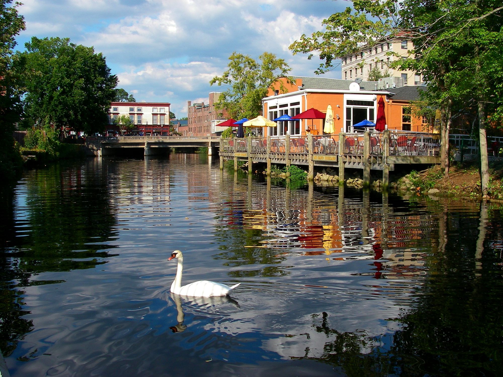
Pawcatuck River
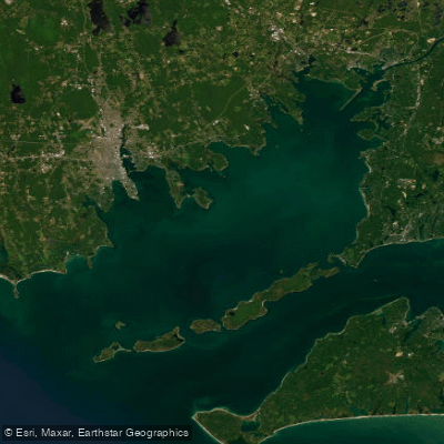
Buzzards Bay

Charles River

Sudbury River
Rhode Island Sound
Clear River
Turner Pond
Narragansett Bay
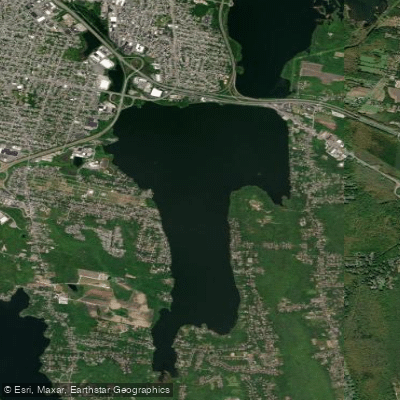
South Watuppa Pond
Explore Massachusetts waters
Top paddling waters
Popular Cities
Loading popular cities...
Explore near Wankinco River
Access points
- Wankinco River Boat Ramp
- Water Parker Mill Pond Bridge
- Water Wakinco River Bridge
- Water Wareham River Bridge
- I 195 Bridge
- Water Weweantic River Bridge
- Water Agawam River Bridge
- Water Weweantic River Bridge
- Water Agawam River Bridge
- Water Weweantic River Bridge
- Water Weweantic River Bridge
- Water Weweantic River Bridge
- All 17 spots
Nearby waters
More in Massachusetts

Smarter Paddling Starts in the App.
Paddleways gives you everything you need to plan smarter, paddle better, and own every trip from first launch to takeout.