Nantucket Sound
- Saltwater
- Sound
Nantucket Sound
- Saltwater
- Sound
- Sq. miles
- 596
- Boat Ramps
- 25
- Access Points
- 1
- Campsites
- 4
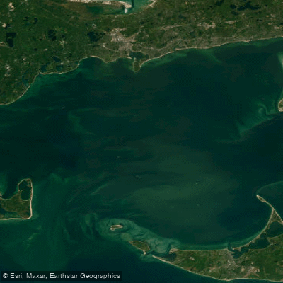
Nantucket Sound is a large, open saltwater sound located between Cape Cod, Martha's Vineyard, and Nantucket. It functions as a massive tidal basin, filling and draining through three main channels: Vineyard Sound, Muskeget Channel, and Great Round Shoal Channel. Tidal currents in these conduits and around points and headlands are significant, flowing at 2 to 3 knots or higher. For paddlers, timing passages to coincide with favorable currents is critical, as fighting a foul current can drastically reduce progress. The tidal range also affects the many rivers and marshes that feed into the sound, with low tide exposing vast mud flats in areas like the Herring River and Nantucket Sound's own shoreline, which can strand paddlers.
Access to the sound is primarily through the numerous harbors, rivers, and inlets along the Cape Cod coastline. Specific launch points include the shoreline at Dennisport, the mouth of the Swan River in Dennis Port, and Long Beach in Centerville facing the sound. The Swan River offers a protected paddle through marshes before opening into the sound, with a public town beach on its west bank near the mouth. Paddling directly on Nantucket Sound is an open-water adventure suited for experienced kayakers due to exposure. Wind can quickly create choppy conditions, and once on the sound, paddlers may encounter waves of two feet or more. Boat traffic is a consideration, and it is advised to launch early in the day before recreational traffic increases.
The sound's shoreline features a mix of developed areas with waterfront homes and natural conservation lands. Wildlife sightings can include harbor seals, various waterfowl like herons and egrets, and ospreys. The area around Monomoy Island, at the sound's eastern edge, is known for seal colonies but is recommended only for advanced paddlers due to strong currents, shifting weather, and complex tides. Several kayak outfitters and tour guides operate along the Cape Cod coast, providing instruction, rentals, and guided trips for those less familiar with the sound's dynamic conditions.
Water access, boat ramps & amenities
Learn how to get on Nantucket Sound. Uncover great paddling access points, boat ramps, and all the facilities you need for an unforgettable day on the water. Some locations shown may border or include private property. Always check property boundaries and applicable regulations before visiting. PaddleWays's Public & Private Land layer can help you plan your access with confidence.
Paddle smarter with real-time insights
Whether you're en route and conditions shift or you're looking for the best spot based on current flows, we enable you to make informed decisions on the fly.








Find Places to Paddle

Over 400,000 Places to Paddle
Every user gets free access to launch points, boat ramps, and public property parcels.


Tides, wind & water conditions (10 day forecast)
On open water, wind and tide matter as much as the weather. See the best times to paddle Nantucket Sound and check the marine forecast before you launch.
Loading tide predictions…
Paddling near Nantucket Sound

Taunton River
Mashpee Pond
Santuit Pond
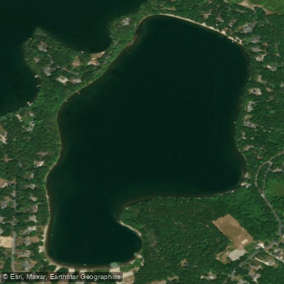
Hamblin Pond
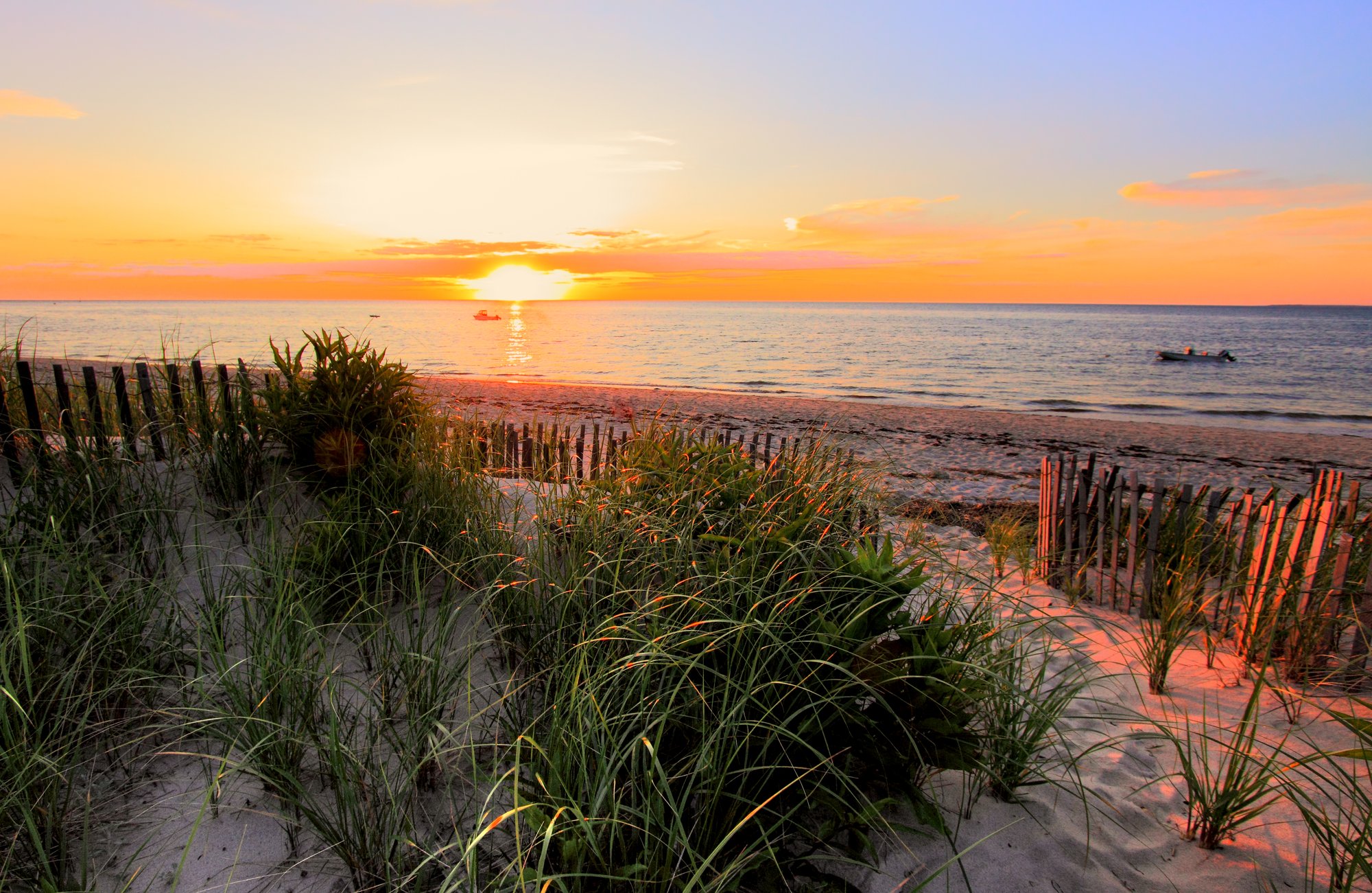
Cape Cod Bay
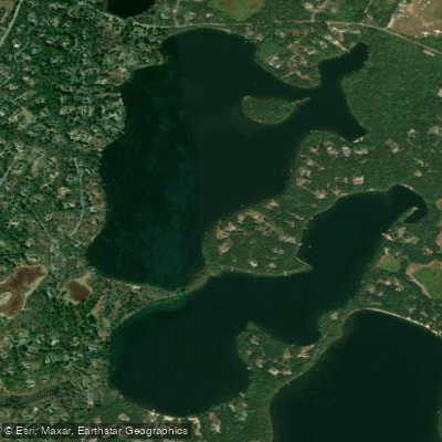
Mystic Lake
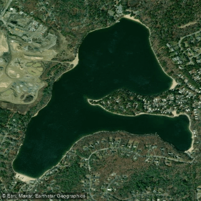
Peters Pond
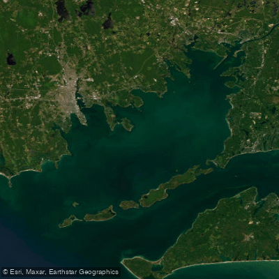
Buzzards Bay
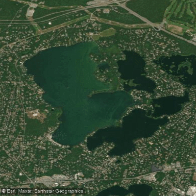
Wequaquet Lake
Explore Massachusetts waters
Top paddling waters
Popular Cities
Loading popular cities...
Explore near Nantucket Sound
Access points
- Lagoon Pond Boat Ramp
- Prince's Cove Boat Ramp
- Ockway Bay Landing Boat Ramp
- East Bay Boat Ramp
- Bridge Street West Town Landing Boat Ramp
- Horsefoot Cove Boat Ramp
- Pirates Cove Boat Ramp
- Ship Shops Boat Ramp
- Lagoon Bridge Park Boat Ramp
- Lewis Bay(Englewood Beach) Boat Ramp
- Hoopers Landing Boat Ramp
- Englewood Beach Boat Ramp
- All 53 spots
Nearby waters
More in Massachusetts

Smarter Paddling Starts in the App.
Paddleways gives you everything you need to plan smarter, paddle better, and own every trip from first launch to takeout.