Sheep Pond
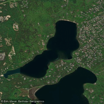
Sheep Pond
- Boat Ramps
- 1
- Access Points
- 1
- Campsites
- 2
Sheep Pond is a 132-acre natural kettlehole pond located in Brewster, Massachusetts, within Barnstable County on Cape Cod. This scenic pond offers excellent paddling opportunities with approximately 2.7 miles of shoreline to explore, making for an estimated 1.5 to 2-mile round trip depending on your route.
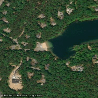
**Access and Facilities:** The primary public access is located at Fishermans Landing Road (99 Fishermens Landing Road, Brewster, MA 02631), where paddlers will find an adequate boat ramp suitable for most trailers. The launch area features parking for 18 vehicles, including 9 spaces designated for vehicles with trailers. The site sits adjacent to a small beach and provides convenient access to the water. The Cape Cod Rail Trail passes near the boat ramp, offering additional recreational opportunities.
**Water Characteristics:** Sheep Pond is notably deep, with a maximum depth of 64 feet and an average depth of 30 feet, making it one of the best trout ponds in Massachusetts due to its substantial coldwater habitat. The water clarity is exceptional, with transparency extending to approximately 20 feet. The pond bottom and shoreline consist predominantly of sand, surrounded by wooded bluffs and hills with light residential development.
**Paddling Conditions:** This is classified as a flat water paddle suitable for beginners and families. However, paddlers should be aware that the pond can become windswept at times, as its long axis is oriented to the prevailing southwest winds. A 10 horsepower limit on outboard motors keeps the environment relatively peaceful for non-motorized craft.
**Surrounding Environment:** The pond is situated within the Brewster State Forest area, with scrub pine and oak trees dominating the shoreline. The clear waters and scenic surroundings make this an attractive destination for a relaxing paddle, with opportunities to explore the pond's various coves and enjoy the natural Cape Cod landscape.
Water access, boat ramps & amenities
Learn how to get on Sheep Pond. Uncover great paddling access points, boat ramps, and all the facilities you need for an unforgettable day on the water. Some locations shown may border or include private property. Always check property boundaries and applicable regulations before visiting. PaddleWays's Public & Private Land layer can help you plan your access with confidence.
Paddle smarter with real-time insights
Whether you're en route and conditions shift or you're looking for the best spot based on current flows, we enable you to make informed decisions on the fly.








Find Places to Paddle

Over 400,000 Places to Paddle
Every user gets free access to launch points, boat ramps, and public property parcels.


Water and weather conditions (10 day forecast)
See the best times to paddle Sheep Pond and check the forecast before you go.
No forecast data available.
Paddling near Sheep Pond
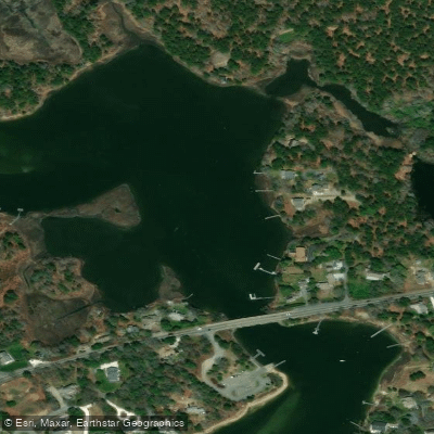
Bass River
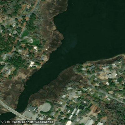
Swan Pond River
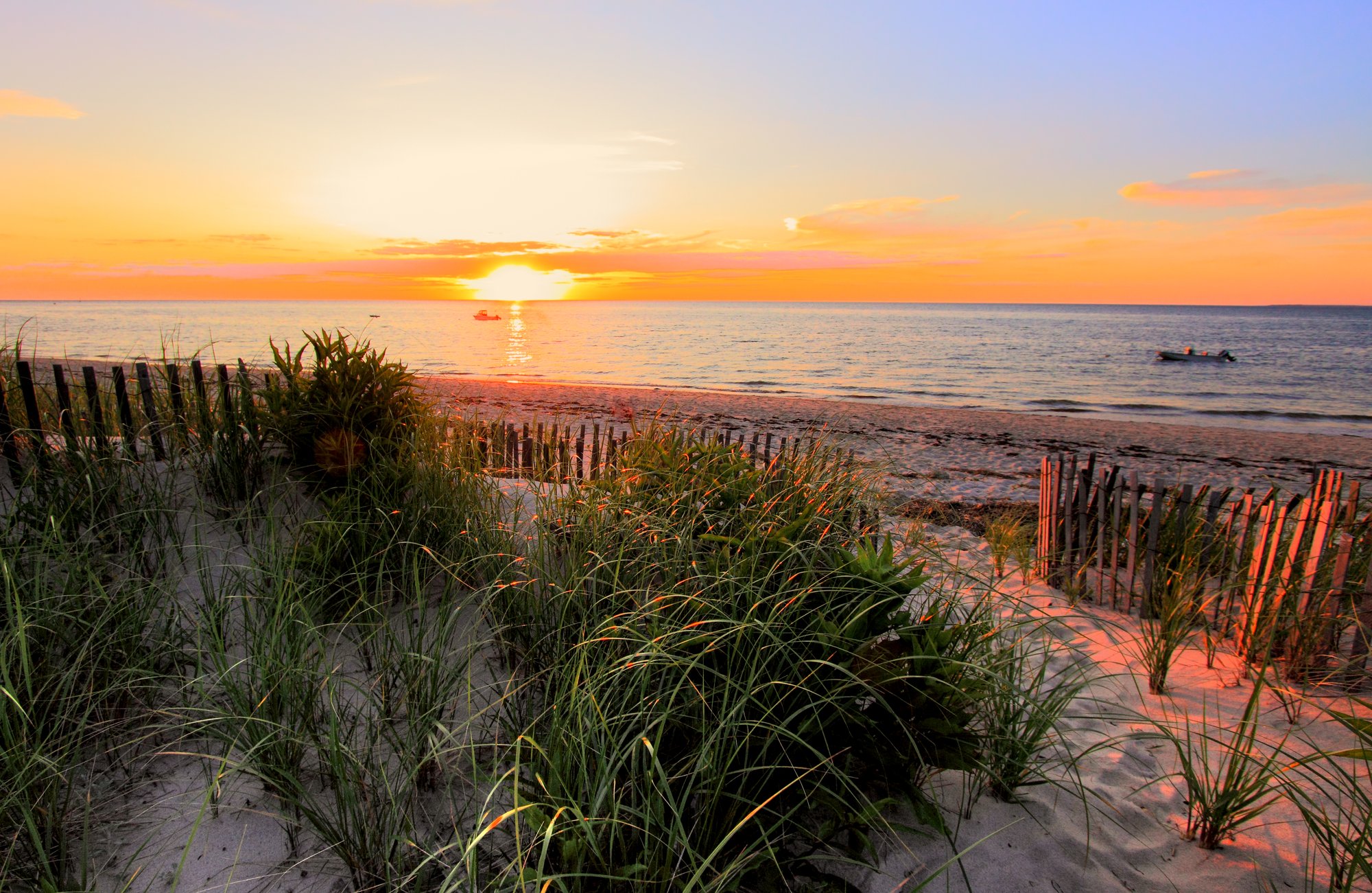
Cape Cod Bay
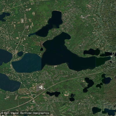
Long Pond
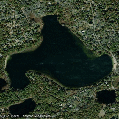
Great Pond
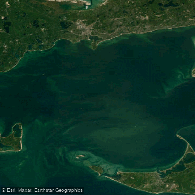
Nantucket Sound
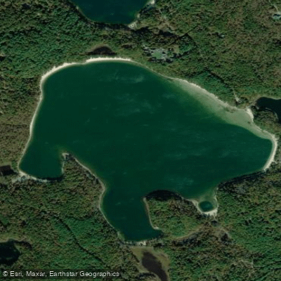
Cliff Pond
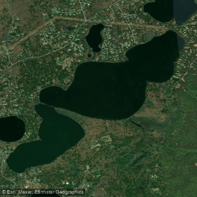
Upper Millpond

Massachusetts Bay
Explore Massachusetts waters
Top paddling waters
Popular Cities
Loading popular cities...
Explore near Sheep Pond
Access points
Nearby waters
More in Massachusetts

Smarter Paddling Starts in the App.
Paddleways gives you everything you need to plan smarter, paddle better, and own every trip from first launch to takeout.