Deer Island Flats
- Saltwater
- Flat
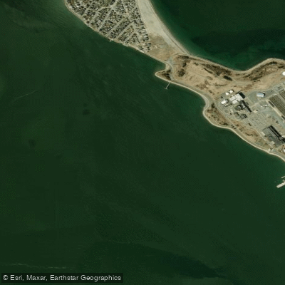
Deer Island Flats
- Saltwater
- Flat
- Sq. miles
- 0.4
- Boat Ramps
- 0
- Access Points
- 0
- Campsites
- 0
Deer Island Flats is a large, shallow marine flat located on the south and west side of Deer Island, a peninsula forming the northern edge of Boston Harbor. This area is part of the Boston Harbor Islands National Recreation Area. The flats are a vast area of structure popular with boaters, offering a backdrop of the Boston skyline and Logan Airport. The water body is tidal saltwater, and its character is defined by significant tidal currents, particularly at the tip of Deer Island where a notable rip forms. The area is exposed to wind and wave action from the harbor. A primary concern for paddlers is access; historically, kayakers have accessed the flats by climbing over a seawall from Deer Island, which has been described as a hazard leading to injuries. There is no dedicated paddlecraft launch ramp mentioned, though there is a desire from the paddling community for one to be built. The flats are adjacent to busy shipping channels and are near Logan Airport, so paddlers should expect boat traffic and aircraft noise. The water quality in Boston Harbor has improved significantly since the 1990s, and it is now considered a premier destination. The area is known for its wildlife, including winter flounder, striped bass, and bluefish. The visual landmarks are dominated by the 150-foot-tall egg-shaped sludge digesters of the Deer Island Waste Water Treatment Plant, a major feature on the island. Paddling here offers an urban coastal experience with views of the harbor islands, but requires careful planning around tides, currents, and a lack of formal, safe launch facilities.
Water access, boat ramps & amenities
Learn how to get on Deer Island Flats. Uncover great paddling access points, boat ramps, and all the facilities you need for an unforgettable day on the water. Some locations shown may border or include private property. Always check property boundaries and applicable regulations before visiting. PaddleWays's Public & Private Land layer can help you plan your access with confidence.
Paddle smarter with real-time insights
Whether you're en route and conditions shift or you're looking for the best spot based on current flows, we enable you to make informed decisions on the fly.








Find Places to Paddle

Over 400,000 Places to Paddle
Every user gets free access to launch points, boat ramps, and public property parcels.


Tides, wind & water conditions (10 day forecast)
On open water, wind and tide matter as much as the weather. See the best times to paddle Deer Island Flats and check the marine forecast before you launch.
Loading tide predictions…
Paddling near Deer Island Flats

Charles River

Concord River

Massachusetts Bay

Merrimack River

Sudbury River

Broad Sound

Wachusett Reservoir

Assabet River
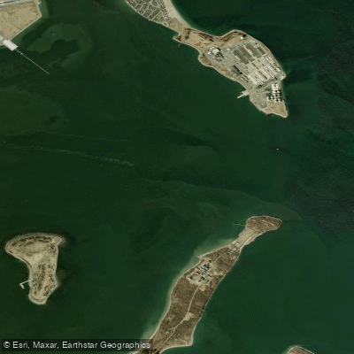
President Roads
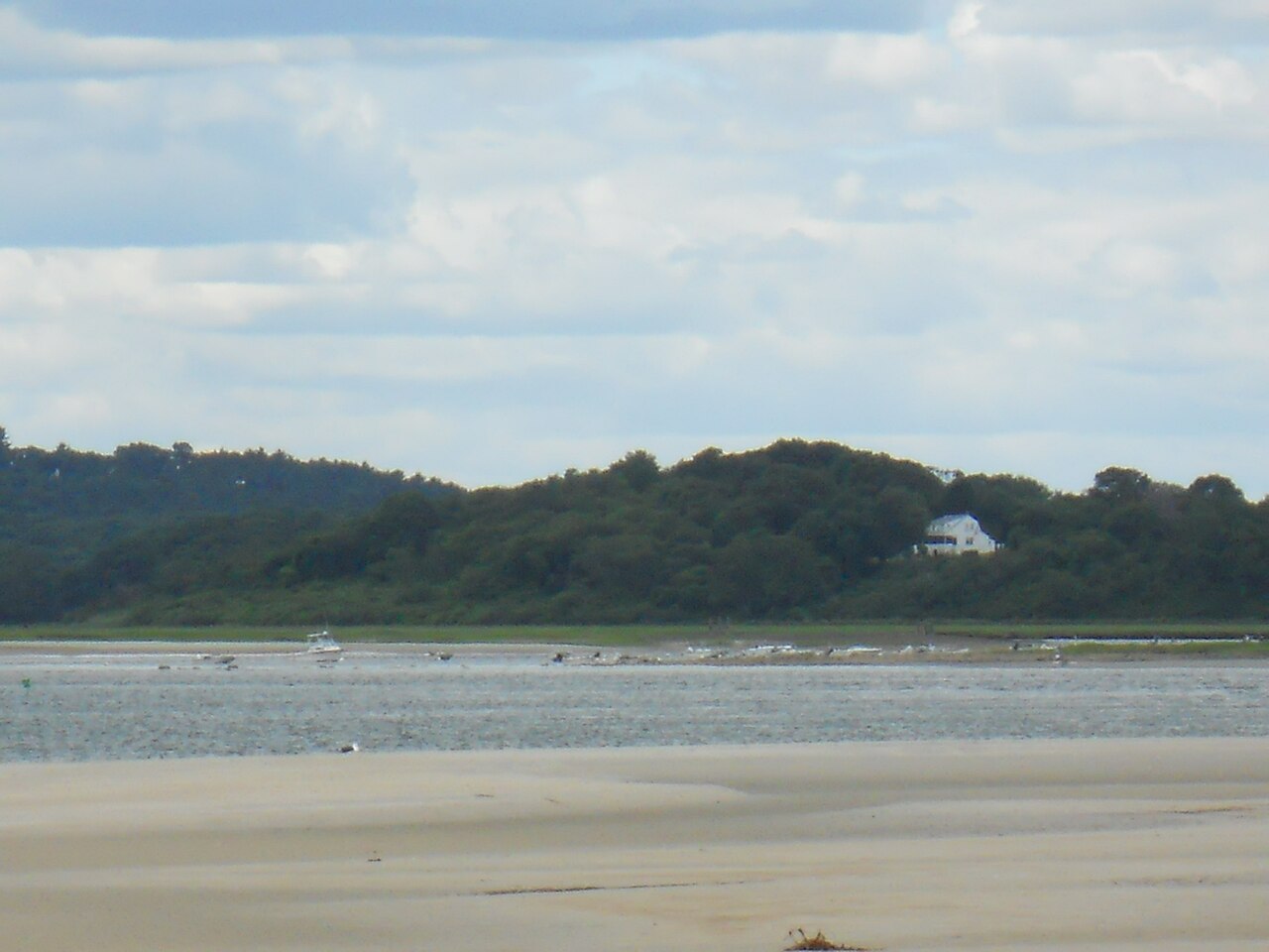
Ipswich River
Explore Massachusetts waters
Top paddling waters
Popular Cities
Loading popular cities...
Explore near Deer Island Flats
Nearby waters
More in Massachusetts

Smarter Paddling Starts in the App.
Paddleways gives you everything you need to plan smarter, paddle better, and own every trip from first launch to takeout.