Curated by PaddleWays
Furnace Pond
- Lake
- 1 hazard marked
Furnace Pond
- Lake
- 1 hazard marked
- Curated route
- 1
- Trip report
- 1
- Hazard marked
- 1
- Public shoreline
- 0%
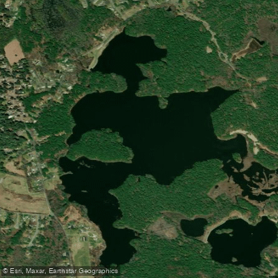
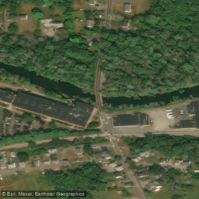
Furnace Pond is a 51-acre impoundment located on the Indian Head River in Pembroke, Massachusetts, near the Hanson town line. The pond sits at an elevation of 48 feet and was historically the site of an iron furnace constructed in 1702, from which it derives its name. The area served as a former mill site and has been identified for potential recreational development.
Access to Furnace Pond is available via Furnace Colony Drive, where the town maintains a beach access point with a swimming dock. The pond is part of the North River watershed and connects to the broader Indian Head River system. Paddlers should note that boat launches may be limited, and most access appears oriented toward swimming rather than paddling craft.
The pond presents significant water quality concerns that paddlers should be aware of. The Commonwealth has issued warnings about extremely high mercury levels in the pond, with posted advisories against fishing or swimming. The contamination stems from the Former Nationals Fireworks, Inc. waste site, identified as the likely source of mercury pollution. Factory Pond is listed in Category 5 of the Integrated List of Waters due to impairment from metals, and fish toxics monitoring in 1993 resulted in a site-specific health advisory.
The pond's margins consist of residential areas, wooded sections, and swamp areas. The dam, jointly owned by the towns of Hanson and Hanover, was repaired in 2016 and is now in full compliance with Office of Dam Safety requirements.
Due to the significant contamination issues, Furnace Pond is not recommended for paddling activities. The health risks associated with contact with the water, combined with limited appropriate access for paddling craft, make other area waters more suitable choices for recreational paddling.
Curated routes
Popular routes to paddle
Hand-picked by the PaddleWays team, with put-ins, take-outs, paddle times and the hazards along the way.
Hazards
Hazards on Furnace Pond
No paddler has reported a hazard here yet, so these are the dams, falls and big rapids on our map. Hazards change with flows and storms, so check them before you launch.
From the community
Furnace Pond trip reports
Real trips from PaddleWays paddlers: which route they ran, how the water was, and what to watch for.
- Trip reports
- 1
- Most paddled route
- Furnace Pond
- Most common craft
- Kayak
Loading trip reports
Jim V.
Kayak •
Water access & public shoreline
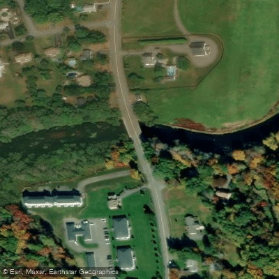
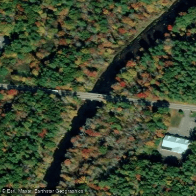
See exactly where the public can get on and off the water. Launch points and boat ramps are paired with PaddleWays' public land data so you know where you can legally land.
Public shoreline
0%of the lake's shoreline is public
- Public
- 0%
- Private
- 100%
Most of the shoreline is private. Launch, land and camp only at public access points.
Paddling conditions (10 day forecast)
Weather, wind and a verdict for each route, so you know if Furnace Pond is worth paddling today.
No forecast data available.
Paddle smarter with real-time insights
Live flows, marked hazards and fresh trip reports from paddlers who were just on the water, all in one place.







Find Places to Paddle

Over 400,000 Places to Paddle
Every user gets free access to launch points, boat ramps, and public property parcels.



Paddling near Furnace Pond
Taunton River
Massachusetts
2.6 miles away
Charles River
Massachusetts
31.3 miles away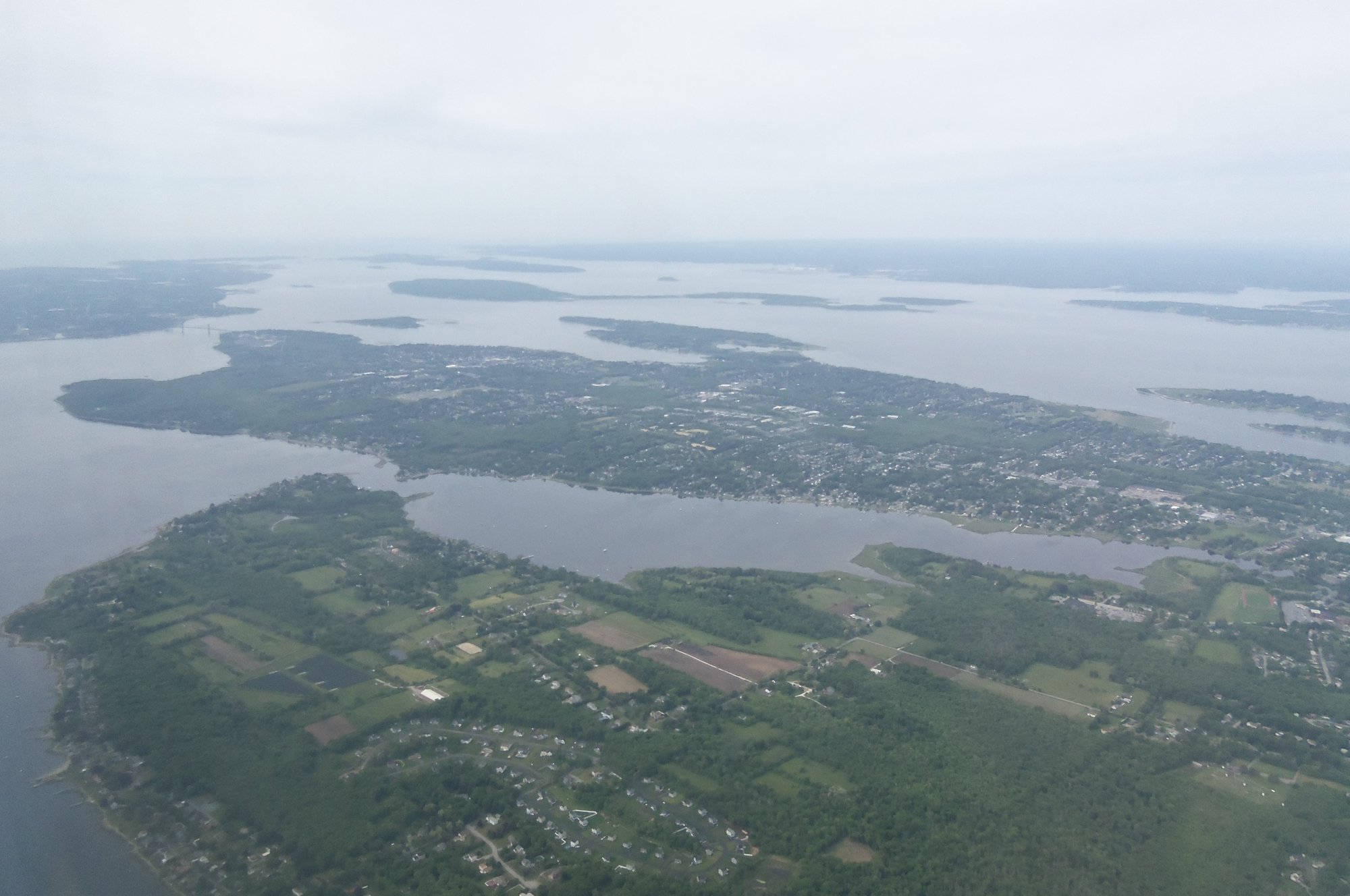
Narragansett Bay
Massachusetts, Rhode Island
25 miles away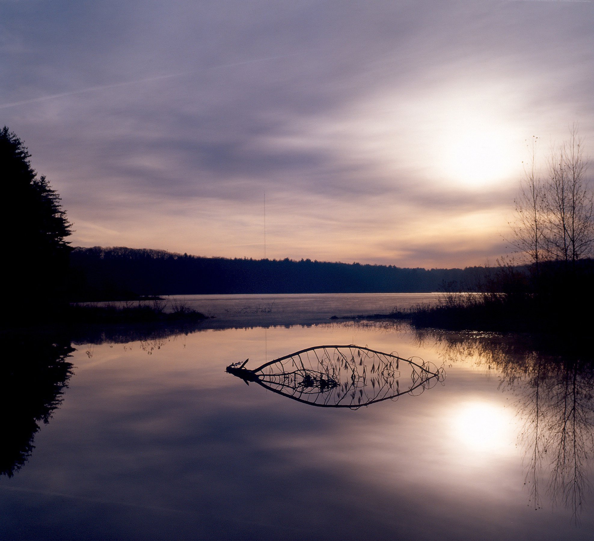
Wachusett Reservoir
Massachusetts
51.4 miles away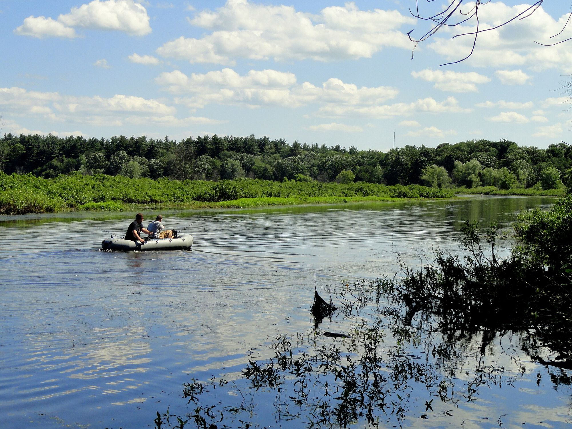
Sudbury River
Massachusetts
37.7 miles away
Buzzards Bay
Massachusetts
23.4 miles away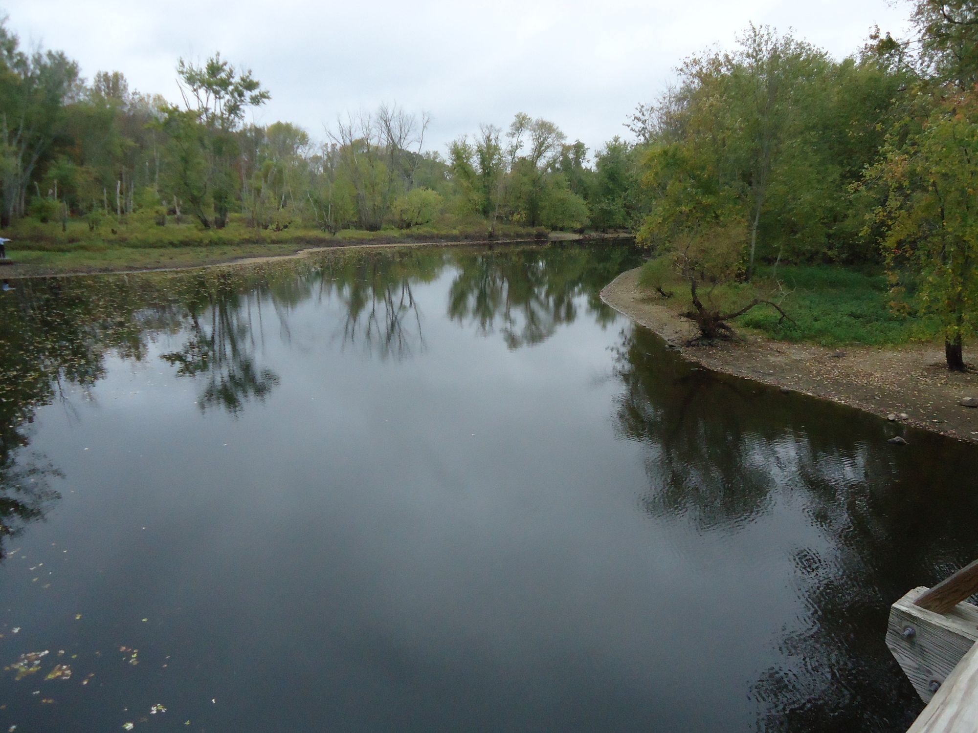
Concord River
Massachusetts
48.6 miles away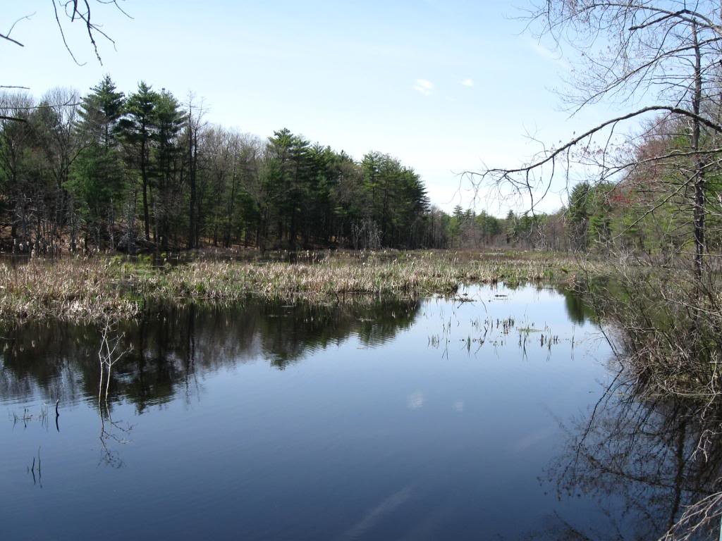
Assabet River
Massachusetts
45.8 miles away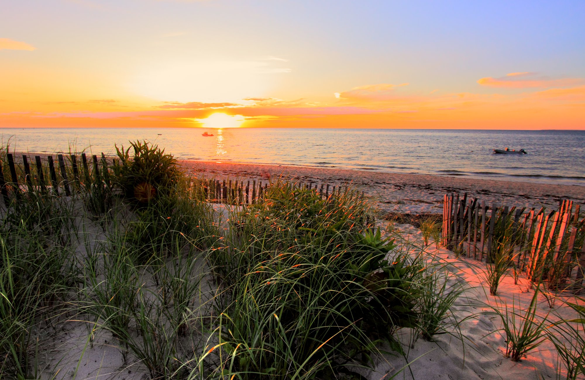
Cape Cod Bay
Massachusetts
35.6 miles away
Clear River
Rhode Island
37.1 miles awayExplore Massachusetts waters
Top paddling waters
Popular Cities
Loading popular cities...
Explore near Furnace Pond
Paddling routes
Access points
Nearby waters
More in Massachusetts

Smarter Paddling Starts in the App.
PaddleWays gives you everything you need to plan smarter, paddle better, and own every trip from first launch to takeout.