Hamblin Pond
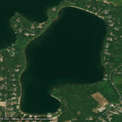
Hamblin Pond
- Boat Ramps
- 1
- Access Points
- 1
- Campsites
- 1
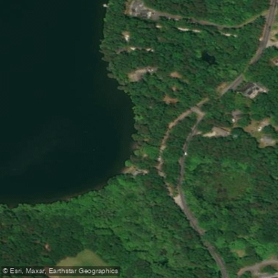
Hamblin Pond in Marstons Mills, Massachusetts offers multiple access points for paddlers. The primary launch is a cartop boat ramp off Cotuit Road past Burgess Park, which requires carrying boats from the parking area to the water. An alternate put-in is available at Wills Work Road in Mashpee.
The pond is stocked annually with trout and naturally supports Yellow Perch, Smallmouth Bass, Banded Killifish, American Eel, and Golden Shiner. A 1995 alum treatment to improve water quality was successful, making it one of Cape Cod's better trout ponds. A second treatment occurred in June 2015.
When paddling from the Waquoit Bay area via Little River, timing trips around high tide is optimal but not essential. The route from Waquoit Public Landing to Hamblin Pond covers approximately 0.5 miles through Little River before opening into the pond. Summer's prevailing southwest winds can create challenging conditions, particularly when they exceed 10 mph.
The pond features calm, shallow waters near its beach area. Facilities include a parking lot (requiring a resident sticker during summer months), new washroom facilities, and a swimming area with roped-off boundaries. While the beach area can be busy with swimmers during summer, the pond generally maintains a quiet atmosphere due to its relatively hidden location away from tourist areas.
For paddlers interested in longer excursions, Hamblin Pond can be combined with nearby Jehu Pond for a 5+ mile round trip route. Wills Work Beach, formerly known as "Secret Beach," offers a less crowded spot for a mid-paddle break.
A resident beach sticker ($45 annually for locals) is required for parking during summer months. The pond covers 57 acres with a maximum depth of 23 feet and an average depth of 10 feet.
Water access, boat ramps & amenities
Learn how to get on Hamblin Pond. Uncover great paddling access points, boat ramps, and all the facilities you need for an unforgettable day on the water. Some locations shown may border or include private property. Always check property boundaries and applicable regulations before visiting. PaddleWays's Public & Private Land layer can help you plan your access with confidence.
Paddle smarter with real-time insights
Whether you're en route and conditions shift or you're looking for the best spot based on current flows, we enable you to make informed decisions on the fly.








Find Places to Paddle

Over 400,000 Places to Paddle
Every user gets free access to launch points, boat ramps, and public property parcels.


Water and weather conditions (10 day forecast)
See the best times to paddle Hamblin Pond and check the forecast before you go.
No forecast data available.
Paddling near Hamblin Pond

Taunton River
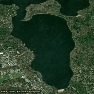
Mashpee Pond
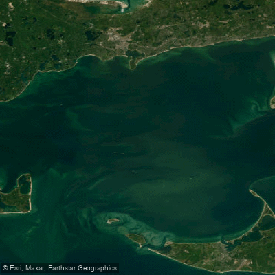
Nantucket Sound
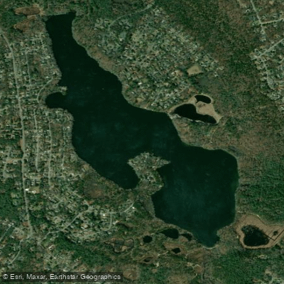
Santuit Pond
Cape Cod Bay
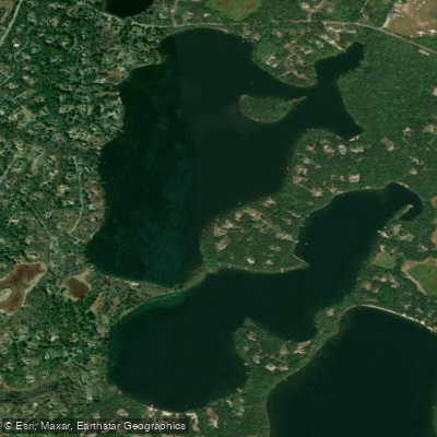
Mystic Lake
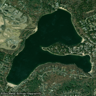
Peters Pond
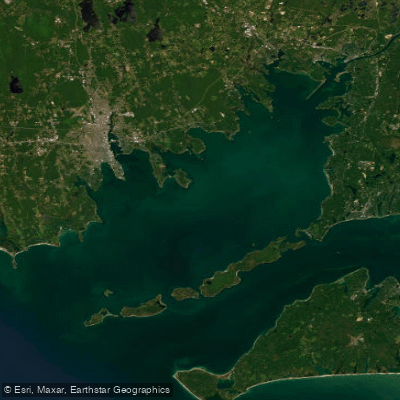
Buzzards Bay
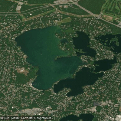
Wequaquet Lake
Explore Massachusetts waters
Top paddling waters
Popular Cities
Loading popular cities...
Explore near Hamblin Pond
Access points
Nearby waters
More in Massachusetts

Smarter Paddling Starts in the App.
Paddleways gives you everything you need to plan smarter, paddle better, and own every trip from first launch to takeout.