Santuit Pond
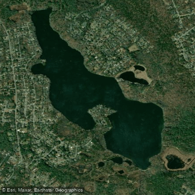
Santuit Pond
- Boat Ramps
- 1
- Access Points
- 1
- Campsites
- 2
Santuit Pond is a 172-acre kettle hole pond located in Mashpee, Massachusetts with a maximum depth of 9 feet and an average depth of 5-6.5 feet. The bottom is predominantly sand overlain with muck, with some areas of gravel and rubble. The 3.4 miles of shoreline are moderately developed with homes and cranberry bogs, and the terrain is generally steep and wooded.
Access is provided via a town-managed gravel ramp off Timberlane Drive suitable for cartop boats, canoes, and light trailered boats. Parking is available for approximately six vehicles, though during summer months parking is restricted to town residents with stickers. Non-residents can still launch boats but must find nearby roadside parking.
The pond struggles with water quality issues, particularly cyanobacteria (blue-green algae) blooms during summer months that can make the water appear "pea soup green". When blooms are present, paddlers should avoid water contact and rinse off after any exposure. The town installed floating solar-powered water circulators in 2012 to help control the cyanobacteria.
Wildlife viewing opportunities include river herring, which make an annual spring run up the Santuit River via a fish ladder rebuilt in 2013. The adjacent Santuit Pond Preserve offers hiking trails through pine-oak forest, beech-holly forest, maple swamps, and wet meadows, home to Eastern box turtles, spotted turtles, and various bird species.
The pond holds cultural significance for the Mashpee Wampanoag Tribe as a traditional meeting place and fishing area. Recent improvements include plans for shoreline vegetation enhancement, tribal artwork installations, and dedicated spaces for non-motorized boats.
Motor boat restrictions are under consideration to reduce sediment disturbance, which can worsen algal blooms. Paddlers should check current regulations and water quality advisories before visiting, particularly during summer months when algal blooms are most common.
Water access, boat ramps & amenities
Learn how to get on Santuit Pond. Uncover great paddling access points, boat ramps, and all the facilities you need for an unforgettable day on the water. Some locations shown may border or include private property. Always check property boundaries and applicable regulations before visiting. PaddleWays's Public & Private Land layer can help you plan your access with confidence.
Paddle smarter with real-time insights
Whether you're en route and conditions shift or you're looking for the best spot based on current flows, we enable you to make informed decisions on the fly.








Find Places to Paddle

Over 400,000 Places to Paddle
Every user gets free access to launch points, boat ramps, and public property parcels.


Water and weather conditions (10 day forecast)
See the best times to paddle Santuit Pond and check the forecast before you go.
No forecast data available.
Paddling near Santuit Pond

Taunton River
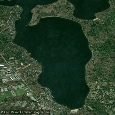
Mashpee Pond
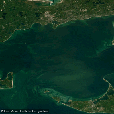
Nantucket Sound
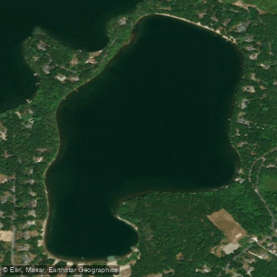
Hamblin Pond
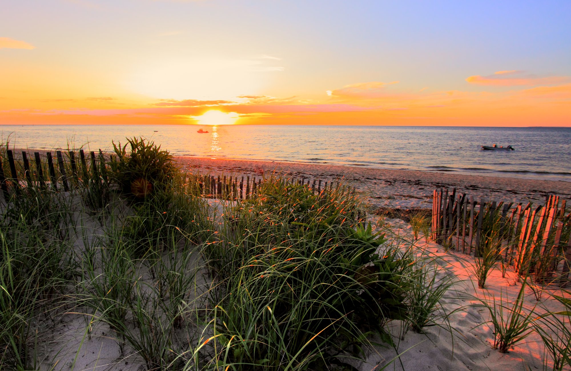
Cape Cod Bay
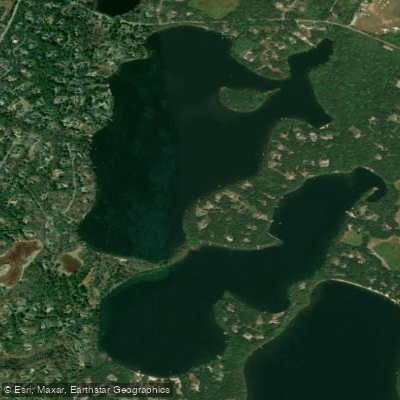
Mystic Lake
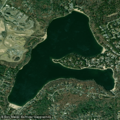
Peters Pond
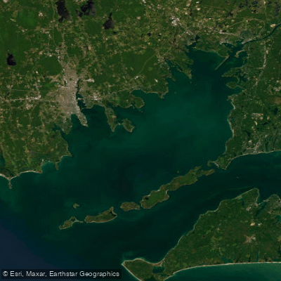
Buzzards Bay
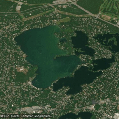
Wequaquet Lake
Explore Massachusetts waters
Top paddling waters
Popular Cities
Loading popular cities...
Explore near Santuit Pond
Access points
Nearby waters
More in Massachusetts

Smarter Paddling Starts in the App.
Paddleways gives you everything you need to plan smarter, paddle better, and own every trip from first launch to takeout.