Peters Pond
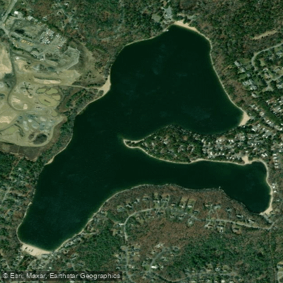
Peters Pond
- Boat Ramps
- 1
- Access Points
- 1
- Campsites
- 1
Peters Pond in Sandwich, Barnstable County, Massachusetts offers paddlers a moderate-sized freshwater experience with approximately 93 acres of surface area. The pond features a perimeter of roughly 2.7 miles, making it suitable for a leisurely one-hour paddle for most kayakers and canoeists.
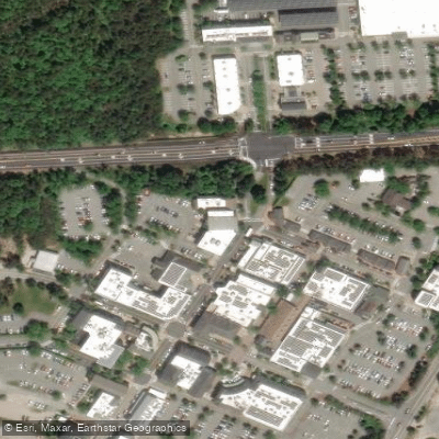
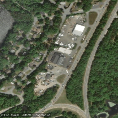
**Access**: The primary public access point is located off Pierre Vernier Drive in Sandwich. This provides convenient launching for car-top boats and smaller watercraft. Paddlers should expect a relatively straightforward put-in, though specific amenities at the launch site are limited based on available information.
**Paddling Experience**: With an estimated round-trip distance of 1.5+ miles for a basic tour of the pond, Peters Pond is well-suited for beginner to intermediate paddlers. The modest size makes it an ideal destination for a short morning or afternoon outing without requiring extensive time commitments or advanced paddling skills. The pond's dimensions allow paddlers to explore its entirety while still providing enough space to feel immersed in the natural environment.
**Setting and Character**: As part of Sandwich's collection of freshwater ponds, Peters Pond maintains the characteristic quiet, residential lake atmosphere common to many Cape Cod inland waters. The pond is situated in the historic town of Sandwich, the oldest town on Cape Cod, which adds cultural context to the paddling experience.
**Considerations**: Like many Cape Cod ponds, Peters Pond may experience increased activity during summer months when seasonal residents and tourists visit the area. Paddlers seeking solitude may find early morning or weekday visits more peaceful. The pond's relatively small size means it can be explored thoroughly in a single trip, making it less suitable for those seeking extended all-day paddling adventures. Water levels and conditions can vary seasonally, with optimal paddling typically from late spring through early fall.
Water access, boat ramps & amenities
Learn how to get on Peters Pond. Uncover great paddling access points, boat ramps, and all the facilities you need for an unforgettable day on the water. Some locations shown may border or include private property. Always check property boundaries and applicable regulations before visiting. PaddleWays's Public & Private Land layer can help you plan your access with confidence.
Paddle smarter with real-time insights
Whether you're en route and conditions shift or you're looking for the best spot based on current flows, we enable you to make informed decisions on the fly.








Find Places to Paddle

Over 400,000 Places to Paddle
Every user gets free access to launch points, boat ramps, and public property parcels.


Water and weather conditions (10 day forecast)
See the best times to paddle Peters Pond and check the forecast before you go.
No forecast data available.
Paddling near Peters Pond

Taunton River
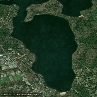
Mashpee Pond
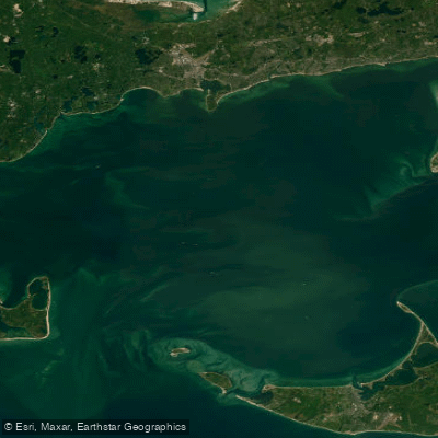
Nantucket Sound
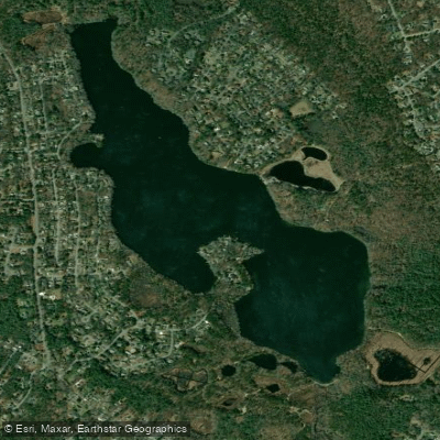
Santuit Pond
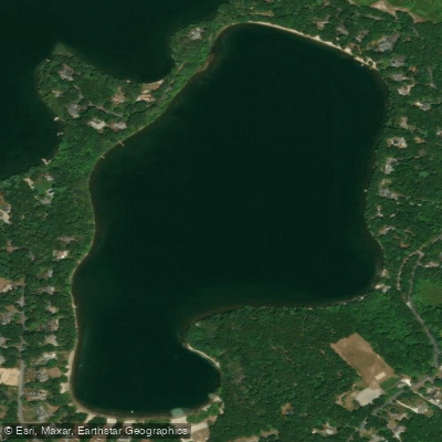
Hamblin Pond
Cape Cod Bay
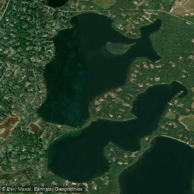
Mystic Lake
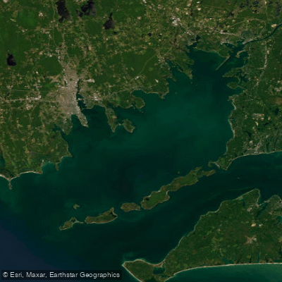
Buzzards Bay
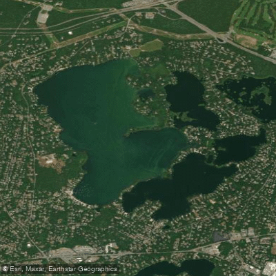
Wequaquet Lake
Explore Massachusetts waters
Top paddling waters
Popular Cities
Loading popular cities...
Explore near Peters Pond
Access points
Nearby waters
More in Massachusetts

Smarter Paddling Starts in the App.
Paddleways gives you everything you need to plan smarter, paddle better, and own every trip from first launch to takeout.