Marblehead Channel
- Saltwater
- Channel
Marblehead Channel
- Saltwater
- Channel
- Sq. miles
- 4.9
- Boat Ramps
- 1
- Access Points
- 0
- Campsites
- 0
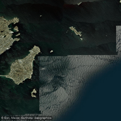
Marblehead Channel is a significant tidal channel connecting Salem Sound to Marblehead Harbor and Salem Harbor in Massachusetts. It is a primary route for marine traffic, including the high-speed Salem Ferry which operates from May to October, creating substantial wake. The channel is also a heavily used venue for sailboat racing and regattas, with events involving dozens of vessels ranging from 18 to 50 feet in length, and even organized swims with kayak escorts. This results in dense and unpredictable boat traffic, especially on summer weekends. Paddlers must exercise extreme caution, maintain constant awareness, and be prepared to navigate through a crowded mooring field and around racing fleets. The channel is exposed to the open waters of Massachusetts Bay, leading to potential for strong winds and choppy conditions. The area is known for swirling currents, which are a noted factor for sailors racing in the channel. A specific current prediction table shows that currents in Marblehead Channel are generally weak, with maximum ebb speeds around 0.4 knots and flood speeds around 0.1 knot, though timing varies daily. The approaches are rocky, filled with ledges, islands, and lobster pot buoys, requiring careful navigation with a chart. A common access point for paddlers is the town wharf at State Street Landing in Marblehead. The aesthetic is that of a classic, active New England sailing center, with views of islands like Tinkers Island and the historic yachting clubs lining the harbor.
Water access, boat ramps & amenities
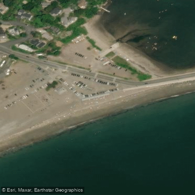
Learn how to get on Marblehead Channel. Uncover great paddling access points, boat ramps, and all the facilities you need for an unforgettable day on the water. Some locations shown may border or include private property. Always check property boundaries and applicable regulations before visiting. PaddleWays's Public & Private Land layer can help you plan your access with confidence.
Paddle smarter with real-time insights
Whether you're en route and conditions shift or you're looking for the best spot based on current flows, we enable you to make informed decisions on the fly.








Find Places to Paddle

Over 400,000 Places to Paddle
Every user gets free access to launch points, boat ramps, and public property parcels.


Tides, wind & water conditions (10 day forecast)
On open water, wind and tide matter as much as the weather. See the best times to paddle Marblehead Channel and check the marine forecast before you launch.
Loading tide predictions…
Paddling near Marblehead Channel

Merrimack River
Ipswich River

Massachusetts Bay

Concord River

Charles River

Broad Sound

Sudbury River

Assabet River
Nahant Bay

Wachusett Reservoir
Explore Massachusetts waters
Top paddling waters
Popular Cities
Loading popular cities...
Explore near Marblehead Channel
Access points
Nearby waters
More in Massachusetts

Smarter Paddling Starts in the App.
Paddleways gives you everything you need to plan smarter, paddle better, and own every trip from first launch to takeout.