Nantasket Roads
- Saltwater
- Sea area
Nantasket Roads
- Saltwater
- Sea area
- Sq. miles
- 0.3
- Boat Ramps
- 0
- Access Points
- 0
- Campsites
- 0
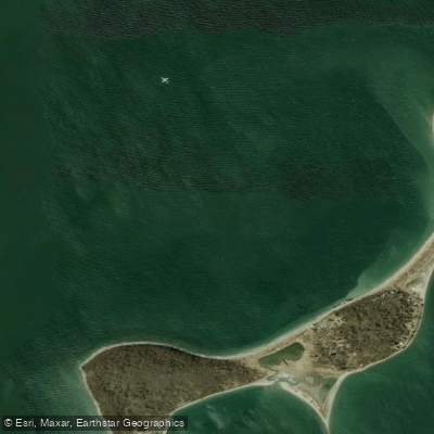
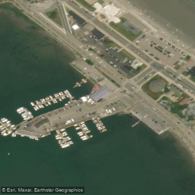
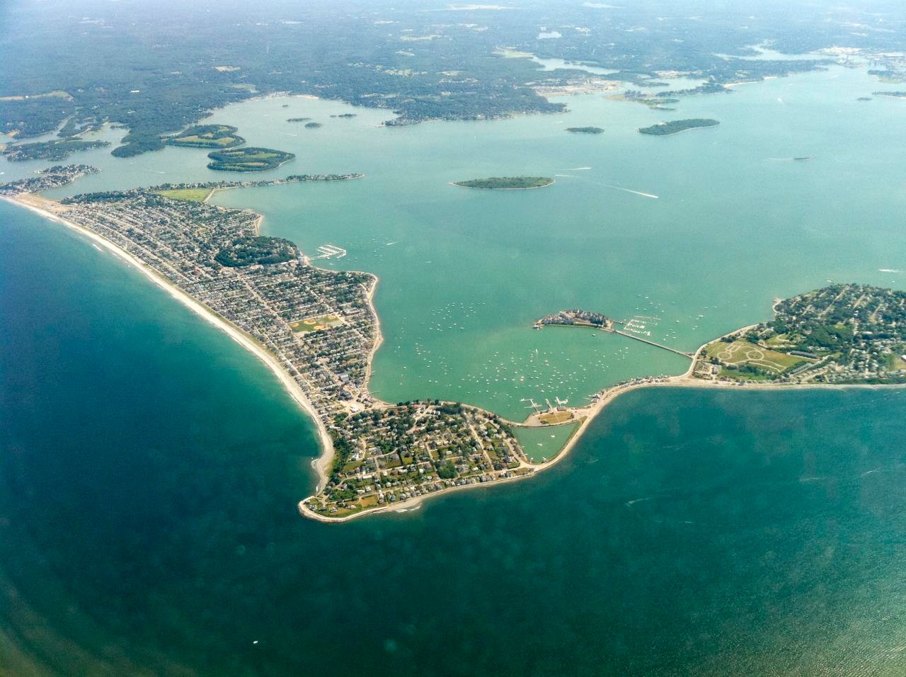
Nantasket Roads is a major shipping channel and deep-water anchorage forming the primary entrance to Boston Harbor from the east, located between Hull and the Boston Harbor Islands. It is a wide, open sea area approximately one mile across, flanked by islands such as Georges, Peddocks, and Rainsford. This channel serves as a critical passage for commercial and recreational vessel traffic heading to and from the inner harbor, making boat traffic a primary hazard for paddlers. Conditions in Nantasket Roads can become rough, especially when an east swell combines with an ebbing tide, and it is being particularly dicey on summer weekends or when winds blow from the east or southwest. The channel is completely exposed to the open ocean to the east, leading out to features like The Graves lighthouse. Paddlers frequently use this corridor to access the outer Boston Harbor Islands, with common destinations including Calf Island, Green Island, and The Graves. A key landmark is Boston Harbor Lighthouse on Little Brewster Island, which marks the entrance to Nantasket Roads from the harbor side. Recommended access points for launching are located in Hull, specifically at Pemberton Point near Hull Gut, which provides a shorter trip to the area, though Hull Gut itself has very strong currents and heavy boat traffic requiring careful timing near slack tide. Another urban launch option with ample parking is the boat ramp on Morrissey Boulevard, though it is near marinas and can be littered. Tides here have a significant range, affecting beach launches like at Wollaston Beach where the water's edge can be a few hundred feet away at low tide. The area is part of the Boston Harbor Islands National and State Park, offering historical sites like Fort Warren on Georges Island and the historic Boston Light. The crossing of Nantasket Roads is a committing open-water segment that requires careful assessment of wind, swell, tide, and traffic.
Water access, boat ramps & amenities
Learn how to get on Nantasket Roads. Uncover great paddling access points, boat ramps, and all the facilities you need for an unforgettable day on the water. Some locations shown may border or include private property. Always check property boundaries and applicable regulations before visiting. PaddleWays's Public & Private Land layer can help you plan your access with confidence.
Paddle smarter with real-time insights
Whether you're en route and conditions shift or you're looking for the best spot based on current flows, we enable you to make informed decisions on the fly.








Find Places to Paddle

Over 400,000 Places to Paddle
Every user gets free access to launch points, boat ramps, and public property parcels.


Tides, wind & water conditions (10 day forecast)
On open water, wind and tide matter as much as the weather. See the best times to paddle Nantasket Roads and check the marine forecast before you launch.
Loading tide predictions…
Paddling near Nantasket Roads

Charles River

Concord River

Massachusetts Bay

Taunton River

Merrimack River

Broad Sound

Sudbury River

Wachusett Reservoir
Hingham Bay

Assabet River
Explore Massachusetts waters
Top paddling waters
Popular Cities
Loading popular cities...
Explore near Nantasket Roads

Smarter Paddling Starts in the App.
Paddleways gives you everything you need to plan smarter, paddle better, and own every trip from first launch to takeout.