Curated by PaddleWays
RouteFlatwater
- Distance
- 8.2 mi
- Paddle time
- ~2.5 hrs
- Best for
- Kayak, canoe
- Put-in → take-out
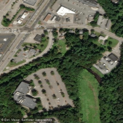
- Bade Canoe Ramp → Pauls Bridge Access
The Neponset River originates at the Neponset Reservoir near Gillette Stadium in Foxborough, Massachusetts and flows northeast for approximately 30 miles before emptying into Dorchester Bay. This urban waterway serves as a vital artery through Boston's southern suburbs, draining a watershed of about 130 square miles.
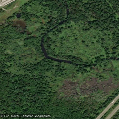
Paddlers can explore several distinct sections of the Neponset, each offering its own character. The upper reaches from Norwood to Milton provide a peaceful journey through Fowl Meadow, a wildlife refuge where paddlers may spot herons, turtles, and other wetland species. This 8-mile stretch from Bade Canoe Launch to Paul's Bridge is generally calm flatwater suitable for beginners, though low water levels in late summer can make navigation challenging.
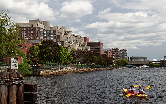
Downstream, the Lower Neponset and Neponset Estuary sections offer an urban paddling experience through the heart of Boston. The river widens as it approaches the harbor, allowing for motor and sailboat traffic. Paddlers should be aware of tidal influences in this area and time their trips accordingly, ideally starting 1-2 hours before high tide for an easier upstream journey.
The Neponset River Greenway, an 8.2-mile multi-use trail, parallels much of the lower river, providing opportunities to combine paddling with hiking or cycling. Notable landmarks include the historic Baker Chocolate Factory in Lower Mills and the striking I-93 bridges near the mouth.
Access points are plentiful, with popular put-ins at Signal Hill Reservation in Canton, Paul's Bridge in Milton, and Pope John Paul II Park in Dorchester. The river is generally paddleable from spring through fall, with October offering scenic foliage views.
Historically, the Neponset played a crucial role in the region's development, powering mills and serving as a transportation route. Today, it remains an important recreational resource and ecological corridor in the Boston metropolitan area.
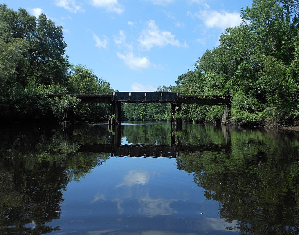
Paddlers should be cautious of occasional strainers and low-head dams, particularly after heavy rains. Personal flotation devices are required, and checking water quality reports is advisable, especially after storms, due to urban runoff concerns.
For those seeking a longer adventure, the entire navigable length can be paddled in 2-3 days, with potential camping at Blue Hills Reservation. However, most opt for day trips on specific sections, tailoring their experience to skill level and interests along this diverse urban waterway.
Curated routes
Hand-picked by the PaddleWays team, with put-ins, take-outs, paddle times and the hazards along the way.
RouteFlatwater
Hazards
No paddler has reported a hazard here yet, so these are the dams, falls and big rapids on our map. Hazards change with flows and storms, so check them before you launch.
From the community
Nobody has shared a trip on Neponset River yet. Paddle it, then tell the next paddler how it went.
See exactly where the public can get on and off the river. Launch points and boat ramps are paired with PaddleWays' public land data so you know where you can legally land.
Public shoreline
49%of the river's shoreline is public
Most of the riverbank is private. Launch, land and camp only at public access points.
Flows, weather and a route-by-route verdict, so you know which stretch of the Neponset River is worth paddling today.
All Flow Stations
Live flows, marked hazards and fresh trip reports from paddlers who were just on the water, all in one place.





Every user gets free access to launch points, boat ramps, and public property parcels.

Loading popular cities...
PaddleWays gives you everything you need to plan smarter, paddle better, and own every trip from first launch to takeout.