Curated by PaddleWays
RouteFlatwater
- Distance
- 2.9 mi
- Paddle time
- ~1 hr
- Best for
- Kayak, canoe
- Put-in → take-out
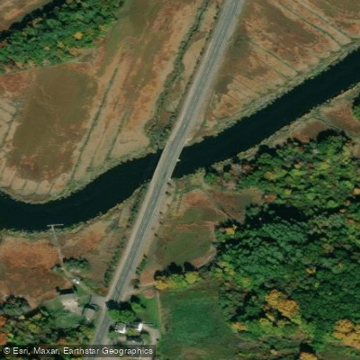
- Crane Pond Boat Ramp → River Street Access
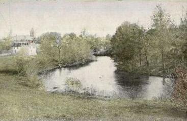
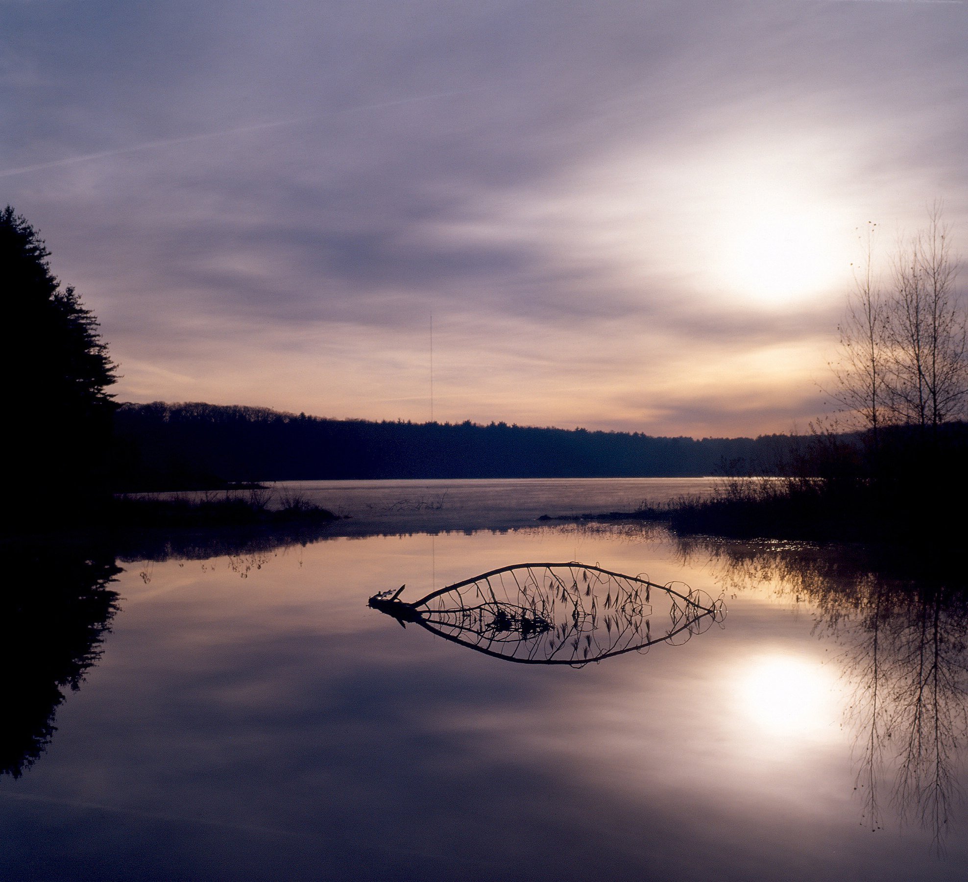
Beaver dam near the put-in
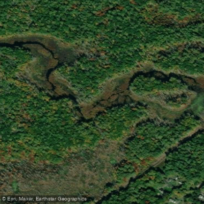
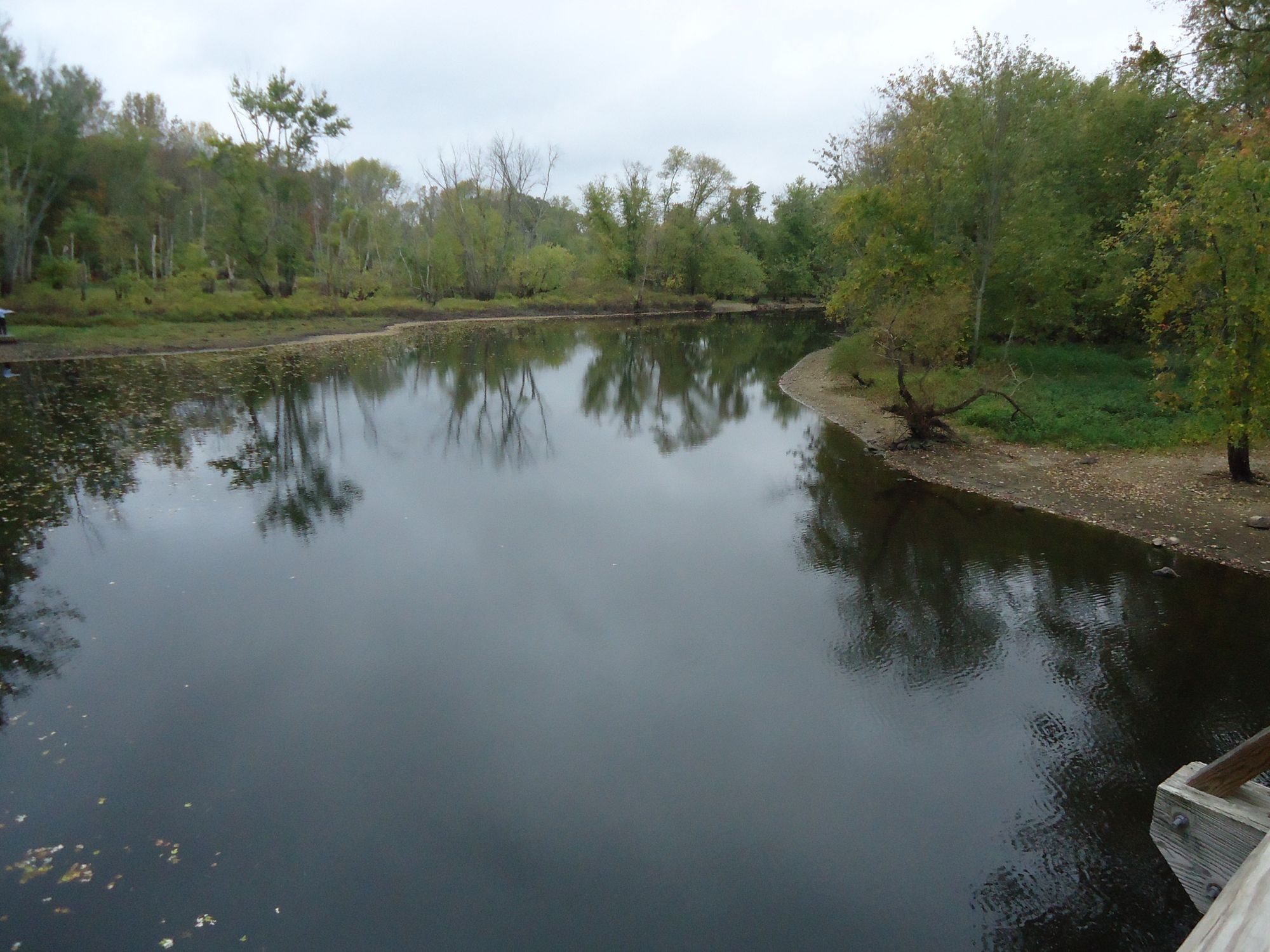
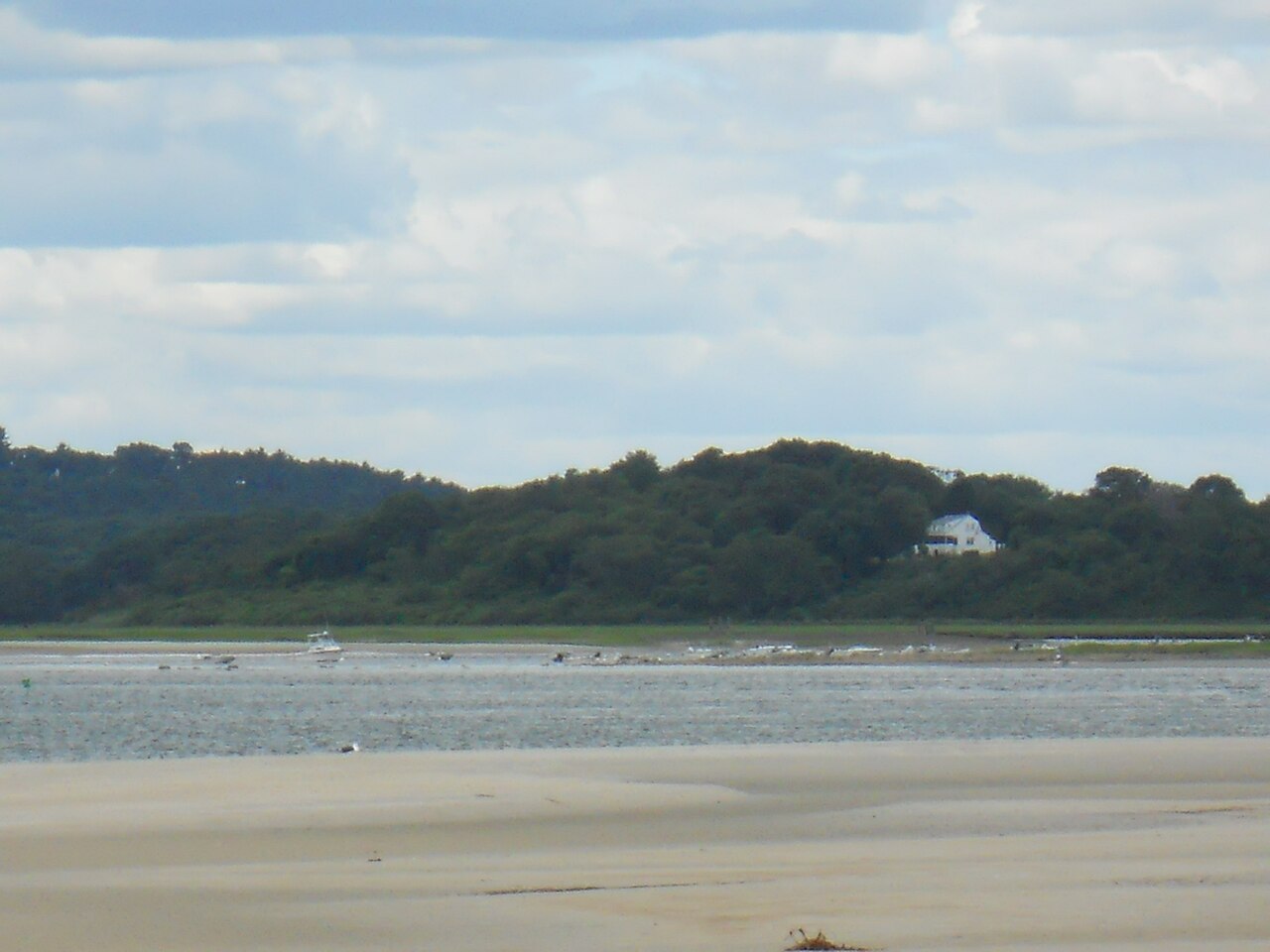
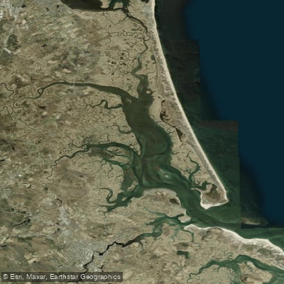
The Parker River, located in northeastern Massachusetts, is a scenic waterway that offers diverse paddling experiences for canoeists and kayakers. This charming river system flows through a variety of landscapes, from peaceful inland forests to expansive coastal salt marshes, before emptying into Plum Island Sound.
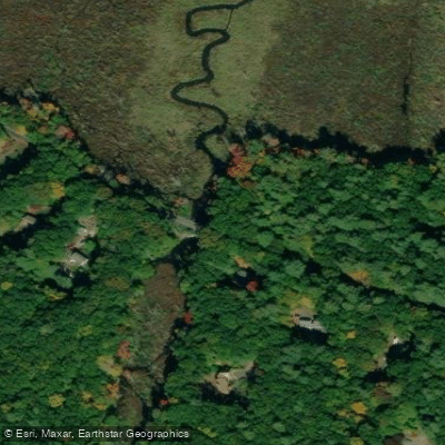
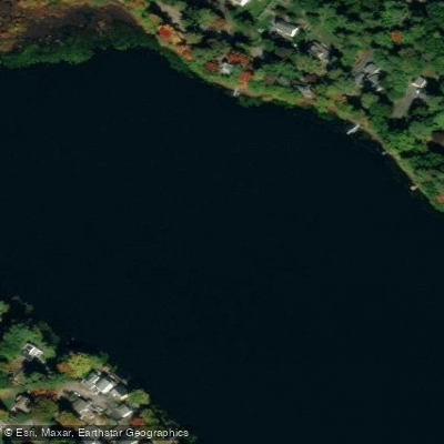
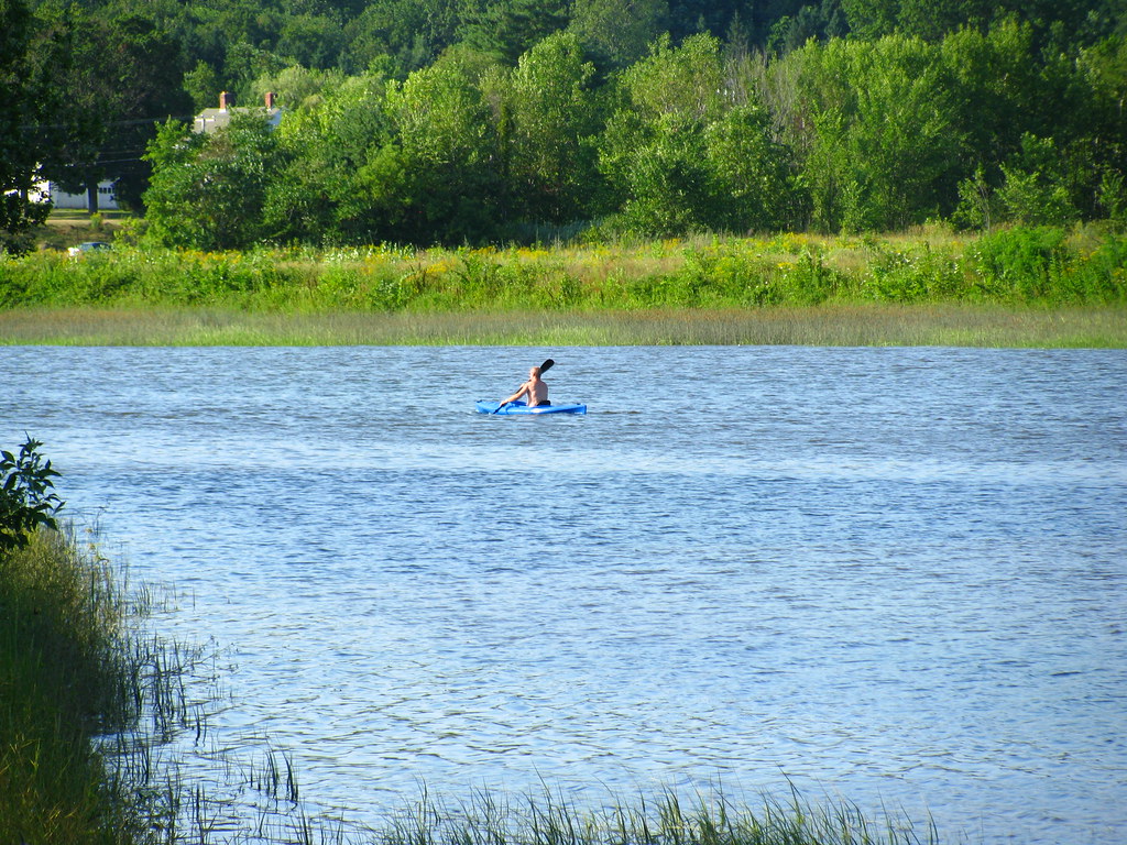
The river can be divided into several distinct sections, each with its own character. The upper reaches, starting near Byfield, provide a tranquil flatwater paddling experience through forested areas. This section, often referred to as "Parker River Above Crane Pond," is ideal for beginners and those seeking a peaceful nature excursion. The 3.5-mile round trip from River Street to Crane Pond offers opportunities to observe wildlife and enjoy the serene surroundings.
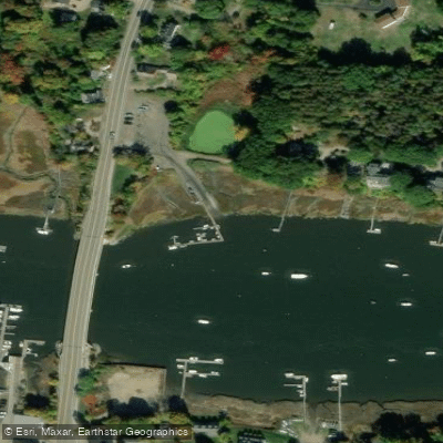
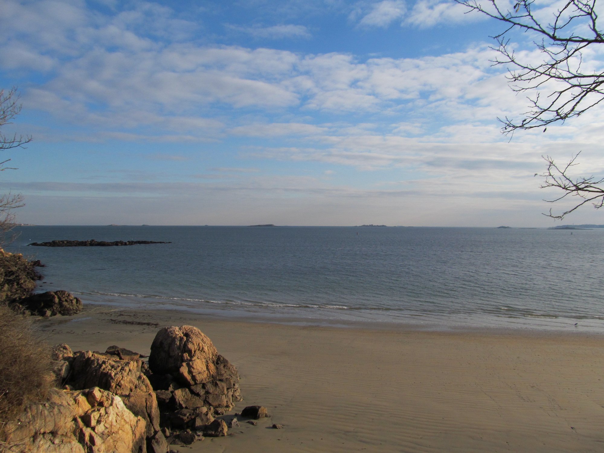
As the Parker River approaches the coast, it transitions into a tidal estuary. The section near Newbury, accessible from the Newbury Kayak & Canoe shop on Route 1A, provides a 5-6 mile round trip through picturesque marshlands. This tidal section is best paddled within two hours of high tide to ensure adequate water levels and easier navigation through the marsh channels.
For those seeking a unique paddling adventure, the Parker River National Wildlife Refuge offers two marked water trails: the Orange Trail and the Yellow Trail. Both trails begin and end at Parking Lot 1 within the refuge, providing 2-3 hour round trips through the salt marsh ecosystem. These trails offer excellent opportunities for wildlife viewing and experiencing the coastal habitat up close.
The difficulty of paddling on the Parker River ranges from easy flatwater sections suitable for beginners to more challenging tidal areas that require some experience and awareness of tidal conditions. Paddlers should always check tide charts and plan their trips accordingly, especially in the lower sections of the river.
Spring and fall are particularly beautiful times to paddle the Parker River, with migratory birds passing through the area. Summer offers warm weather and abundant wildlife viewing opportunities, while winter paddling is possible for experienced kayakers with proper cold-water gear.
The river and its surrounding wetlands are home to a diverse array of wildlife. Paddlers may encounter great blue herons, egrets, osprey, and various waterfowl. The area is also known for its beaver activity, and lucky paddlers might spot river otters or even bald eagles.
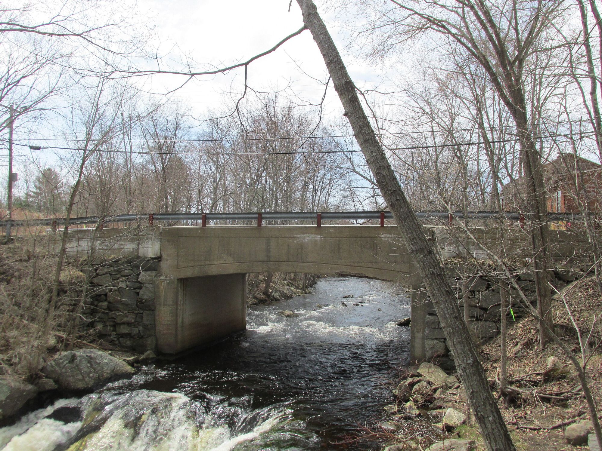
Notable landmarks along the river include the Parker River Dam, The Governor's Academy, and various historic boathouses anchored along the banks. The river passes through or near the towns of Byfield, Newbury, and West Newbury, each offering access points and local amenities.
Safety considerations include being aware of tidal changes, wearing a personal flotation device, and carrying appropriate safety gear. Paddlers should also be mindful of motorized boat traffic, particularly in the lower sections of the river.
For those interested in multi-day adventures, it's possible to combine a Parker River trip with exploration of the broader Plum Island Sound area, potentially including nearby waterways like the Rowley River or Mill River.
The Parker River and its surrounding ecosystem play a crucial role in the region's ecology and offer a window into the natural history of coastal Massachusetts. Whether you're a novice paddler looking for a gentle day trip or an experienced kayaker seeking to explore the intricate salt marsh waterways, the Parker River provides a rich and rewarding paddling destination.
Curated routes
Hand-picked by the PaddleWays team, with put-ins, take-outs, paddle times and the hazards along the way.
RouteFlatwater
Hazards
No paddler has reported a hazard here yet, so these are the dams, falls and big rapids on our map. Hazards change with flows and storms, so check them before you launch.
From the community
Nobody has shared a trip on Parker River yet. Paddle it, then tell the next paddler how it went.
See exactly where the public can get on and off the river. Launch points and boat ramps are paired with PaddleWays' public land data so you know where you can legally land.
Public shoreline
34%of the river's shoreline is public
Most of the riverbank is private. Launch, land and camp only at public access points.
Flows, weather and a route-by-route verdict, so you know which stretch of the Parker River is worth paddling today.
Live flows, marked hazards and fresh trip reports from paddlers who were just on the water, all in one place.





Every user gets free access to launch points, boat ramps, and public property parcels.

Loading popular cities...
PaddleWays gives you everything you need to plan smarter, paddle better, and own every trip from first launch to takeout.