Curated by PaddleWays
RouteFlatwater
- Distance
- 1.8 mi
- Paddle time
- ~0.5 hrs
- Best for
- Families
- Put-in → take-out
- Dale Street Access → Abbot Bridge Access
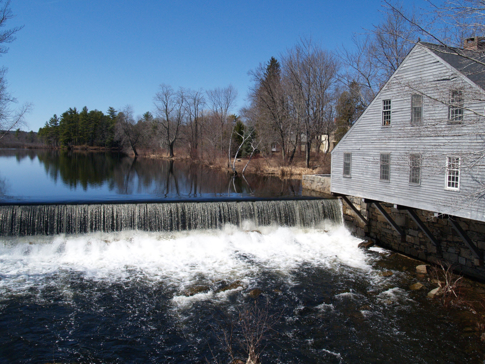
Dam directly above put-in
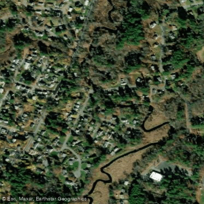
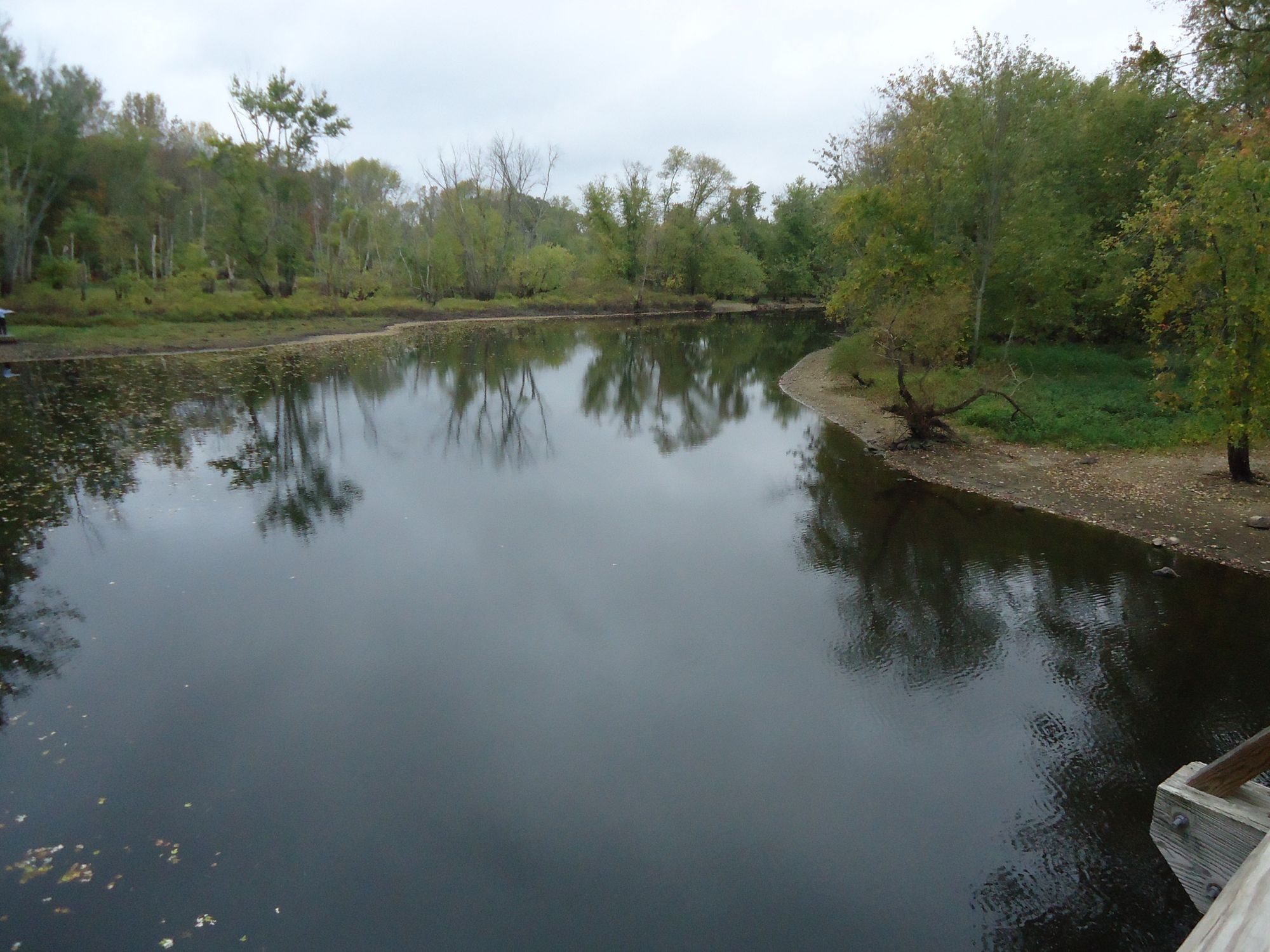
The Shawsheen River, a scenic waterway in northeastern Massachusetts, offers paddlers a diverse and accessible experience through suburban landscapes and protected natural areas. Flowing through the towns of Billerica, Tewksbury, and Andover, this serpentine river provides a range of paddling opportunities suitable for various skill levels.
The river is primarily characterized by flatwater sections, making it an ideal destination for beginners and families. However, more experienced paddlers can find enjoyment in longer trips and exploring the river's meandering course.
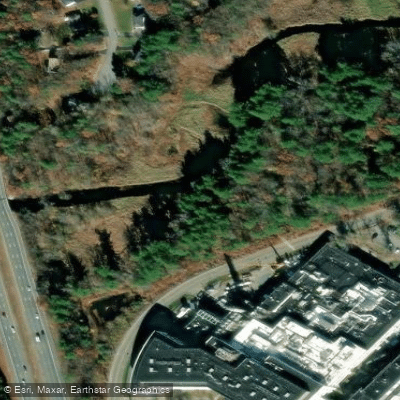
The Shawsheen offers several popular paddling sections, each with its own charm and features. One of the most recommended family-friendly routes runs from Dale Street in Andover, just below the Ballardvale Dam, to the Abbot Bridge Drive Conservation Area at Central Street. This 2-mile section can be paddled upstream or downstream, offering flexibility for paddlers.
Another notable stretch is the 1.8-mile section from Shawsheen Pines Conservation Area to Andover Street, passing through quiet, protected natural areas and under a picturesque arched stone railroad bridge.
For those seeking longer adventures, the river offers extended trips such as the 5.5-mile journey from Billerica to Tewksbury, or the 6-7 mile paddle from Tewksbury to Andover. These longer sections provide a more immersive experience of the river's changing landscapes and surrounding communities.
The best time to paddle the Shawsheen is typically from late spring through early fall. Water levels can vary seasonally, with some sections like the marsh area near Abbot Bridge Drive only accessible during high water, usually in early spring. Paddlers should always check current conditions before embarking on their trip.
The river corridor is home to a variety of wildlife and passes through several conservation areas, offering opportunities for nature observation. Paddlers might spot local bird species and possibly encounter other wildlife along the forested banks.
Notable landmarks along the Shawsheen include the Ballardvale Dam in Andover, which cannot be paddled and requires a portage, and the "flats" area near Andover Street. The river also passes by several conservation reservations, such as Serio's Grove, Pole Hill, and the Vale Reservation, which offer additional recreational opportunities like hiking trails accessible from the river.
Safety considerations include being aware of potential hazards like the Mill Street drop-off and occasional downed trees, particularly in less frequently paddled sections. Paddlers should always wear life jackets and be prepared for changing conditions. It's also important to note that fishing is allowed in the Shawsheen River, but only after May due to trout hatcheries in April and May.
While multi-day trips are less common on the Shawsheen due to its suburban setting, the river's various access points allow paddlers to create custom day trips of varying lengths. Popular put-in locations include the Shawsheen Pines Conservation Area, Foster Park Conservation Area, and the Shawsheen Launch in Tewksbury.
The Shawsheen River, with its mix of natural beauty and suburban accessibility, offers a unique paddling experience in eastern Massachusetts. Whether you're looking for a short, family-friendly outing or a longer journey through changing landscapes, the Shawsheen provides a variety of options for paddlers to explore and enjoy.
Curated routes
Hand-picked by the PaddleWays team, with put-ins, take-outs, paddle times and the hazards along the way.
RouteFlatwater
RouteFlatwater
RouteFlatwater
RouteFlatwater
RouteFlatwater
Hazards
No paddler has reported a hazard here yet, so these are the dams, falls and big rapids on our map. Hazards change with flows and storms, so check them before you launch.
From the community
Real trips from PaddleWays paddlers: which route they ran, how the flows were, and what to watch for.
Loading trip reports
PaddleWays paddler
35 cfs at Balmoral Street
See exactly where the public can get on and off the river. Launch points and boat ramps are paired with PaddleWays' public land data so you know where you can legally land.
Public shoreline
31%of the river's shoreline is public
Most of the riverbank is private. Launch, land and camp only at public access points.
Flows, weather and a route-by-route verdict, so you know which stretch of the Shawsheen River is worth paddling today.
All Flow Stations
Live flows, marked hazards and fresh trip reports from paddlers who were just on the water, all in one place.





Every user gets free access to launch points, boat ramps, and public property parcels.

Loading popular cities...
PaddleWays gives you everything you need to plan smarter, paddle better, and own every trip from first launch to takeout.