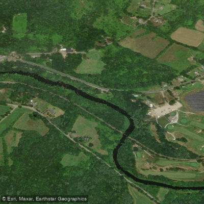
Curated by PaddleWays
RouteClass I
- Distance
- 4.9 mi
- Paddle time
- ~1.5 hrs
- Best for
- Kayak, canoe
- Put-in → take-out
- Barre Plains Access → Ware River-Hardwick Boat Ramp
The Ware River is a significant waterway in central Massachusetts, originating in the hills of Hubbardston and flowing southward for approximately 35 miles before joining the Quabbin Reservoir. As it winds through Worcester County, the river passes through several towns including Barre, Hardwick, Ware, and Palmer. Its main tributary is the Burnshirt River, which joins the Ware near Barre.
Paddlers will find a diverse range of experiences on the Ware River, from calm flatwater sections to more challenging Class II-III whitewater, particularly in the upper reaches. The river is divided into several distinct paddling sections, each offering unique characteristics. The Upper Ware River Blue Trail, stretching 9 miles from Rutland to Barre, provides a mix of quick water and whitewater suitable for intermediate to advanced paddlers. The Lower Ware River Blue Trail offers a more relaxed 14.6-mile journey from Barre to Three Rivers, ideal for novice to intermediate paddlers.
Water levels fluctuate seasonally, with spring typically offering the best conditions for whitewater enthusiasts. Summer and fall provide pleasant flatwater paddling opportunities, though some sections may become too shallow during dry periods. Paddlers should always check current water levels and weather conditions before embarking.
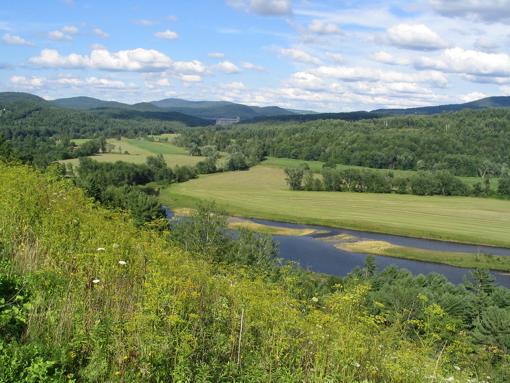
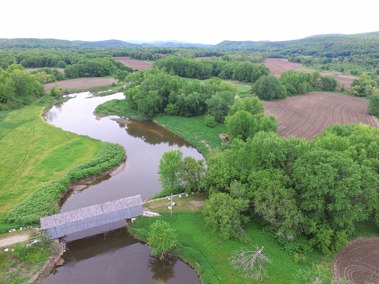
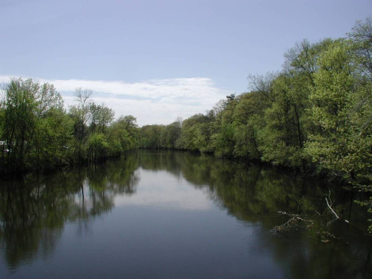
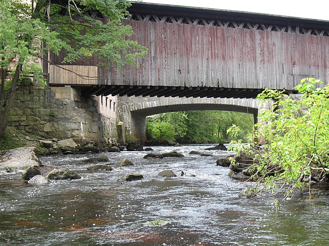
The Ware River corridor is known for its rich biodiversity. Paddlers may encounter a variety of wildlife including beavers, herons, and bald eagles. The riverbanks are lined with diverse vegetation, creating a scenic backdrop for your journey. Notable landmarks include the covered bridge in Rutland, the Barre Falls Dam, and Grenville Park in Ware. The river also passes by the historic Ware Airport, offering a unique view from the water.
Access points are numerous, with popular put-ins located at River Road in Rutland, Route 122 in Barre, and Grenville Park in Ware. Many of these access points are near small towns, providing convenient amenities for paddlers.
Historically, the Ware River played a crucial role in the region's industrial development, powering mills and factories. Today, it serves as an important water source for the greater Boston area, with the Ware River Watershed covering approximately 23,000 acres of protected land.
Safety considerations include being aware of dam locations and potential strainers. Some sections have restrictions on boating, particularly near water supply areas. Paddlers should also be mindful of the no swimming policy on most of the river.
For those interested in multi-day trips, the Lower Ware River Blue Trail can be combined with sections of the Chicopee River for an extended paddling adventure through central Massachusetts.
Curated routes
Hand-picked by the PaddleWays team, with put-ins, take-outs, paddle times and the hazards along the way.
RouteClass I
RouteFlatwater
Hazards
No paddler has reported a hazard here yet, so these are the dams, falls and big rapids on our map. Hazards change with flows and storms, so check them before you launch.
From the community
Nobody has shared a trip on Ware River yet. Paddle it, then tell the next paddler how it went.
See exactly where the public can get on and off the river. Launch points and boat ramps are paired with PaddleWays' public land data so you know where you can legally land.
Public shoreline
11%of the river's shoreline is public
Most of the riverbank is private. Launch, land and camp only at public access points.
Flows, weather and a route-by-route verdict, so you know which stretch of the Ware River is worth paddling today.
All Flow Stations
Live flows, marked hazards and fresh trip reports from paddlers who were just on the water, all in one place.





Every user gets free access to launch points, boat ramps, and public property parcels.
Loading popular cities...
PaddleWays gives you everything you need to plan smarter, paddle better, and own every trip from first launch to takeout.