West Gut
- Saltwater
- Sea area
West Gut
- Saltwater
- Sea area
- Sq. miles
- 0.5
- Boat Ramps
- 0
- Access Points
- 0
- Campsites
- 0
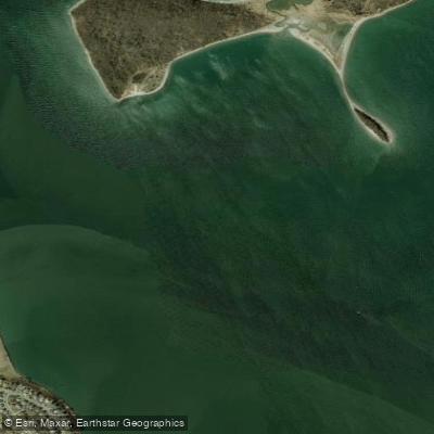
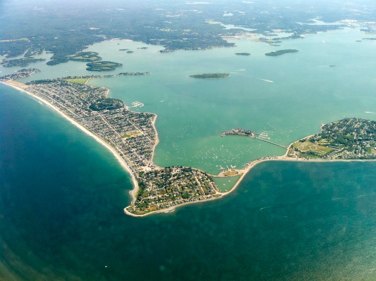
West Gut is a tidal channel located in Boston Harbor, Massachusetts, USA, separating the southwestern tip of Peddocks Island from the tip of Nut Island, which is connected to Hough's Neck on the mainland. The channel is notably wider than the nearby Hull Gut, resulting in a much milder current, though it is still a significant tidal flow. Paddlers must be highly vigilant for boat traffic, particularly the Hingham-to-Boston ferries that operate on the hour. These ferries do not slow down for paddlers and can generate steep three-foot wakes, which can be challenging. The ferry from Boston is visible from a considerable distance, but the ferry from Hingham can approach quickly if a paddler is not paying attention. A primary access point for reaching West Gut is the launch at Houghs Neck, from which paddlers cross the gut to access Peddocks Island and the broader Boston Harbor Islands network. The crossing from Nut Island to Peddocks Island is a defined open-water passage. The area is known for its rocky and boulder-strewn bottom, and the current seams can be fast, creating conditions that one paddler described as particularly gnarly, more suited to whitewater boats than long, skinny surfskis. The surrounding waters feature extensive flats and deeper channels, with depths in adjacent areas like Hingham Bay often less than ten feet at low tide. The Boston Harbor Islands provide diverse paddling and exploring opportunities, with the crossing of West Gut serving as a key route to access them.
Water access, boat ramps & amenities
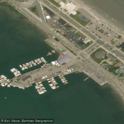
Learn how to get on West Gut. Uncover great paddling access points, boat ramps, and all the facilities you need for an unforgettable day on the water. Some locations shown may border or include private property. Always check property boundaries and applicable regulations before visiting. PaddleWays's Public & Private Land layer can help you plan your access with confidence.
Paddle smarter with real-time insights
Whether you're en route and conditions shift or you're looking for the best spot based on current flows, we enable you to make informed decisions on the fly.








Find Places to Paddle

Over 400,000 Places to Paddle
Every user gets free access to launch points, boat ramps, and public property parcels.


Tides, wind & water conditions (10 day forecast)
On open water, wind and tide matter as much as the weather. See the best times to paddle West Gut and check the marine forecast before you launch.
Loading tide predictions…
Paddling near West Gut

Charles River

Concord River

Massachusetts Bay

Taunton River

Merrimack River

Broad Sound

Sudbury River

Wachusett Reservoir
Hingham Bay

Assabet River
Explore Massachusetts waters
Top paddling waters
Popular Cities
Loading popular cities...
Explore near West Gut
Access points
Nearby waters
More in Massachusetts

Smarter Paddling Starts in the App.
Paddleways gives you everything you need to plan smarter, paddle better, and own every trip from first launch to takeout.