Dowagiac River
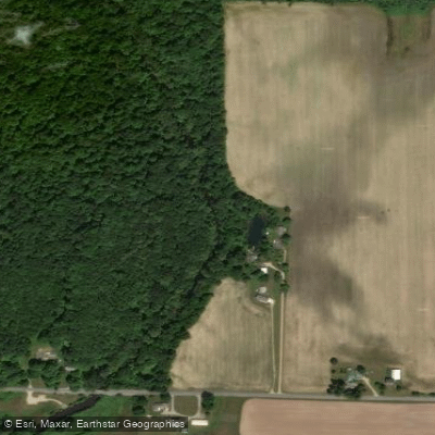
Dowagiac River
- Boat Ramps
- 2
- Access Points
- 2
- Campsites
- 0
The Dowagiac River flows approximately 31 miles through southwest Michigan's Cass and Berrien Counties before joining the St. Joseph River near Niles. As the largest coldwater river system in southern Michigan, it originates north of Dowagiac and winds southwesterly through rural farmland and forested corridors, maintaining a moderate to swift pace throughout most of its length. The river has been significantly altered by past channelization and dredging, though recent restoration efforts—including the removal of Pucker Street Dam between 2019-2021—have reopened over 159 miles of habitat for migratory fish species.
Paddlers can explore roughly 20 miles of established water trail from M-51 north of Dowagiac downstream to the St. Joseph River confluence. The river offers varied experiences ranging from flatwater millpond paddles to technical Class III-IV whitewater sections requiring advanced skills. Popular segments include the 12-mile Middle Crossing Road to Arthur Dodd Memorial Park run, which takes 3.5-4 hours through predominantly wooded terrain, and shorter family-friendly floats from M-51 to M-62. The section between Arthur Dodd Memorial Park and Pucker Street historically presented significant challenges due to extensive logjams, though recent clearing work has improved navigability while still demanding strong paddling abilities.
The tree-lined river corridor features hardwood canopies of oak, maple, and beech that provide exceptional spring wildflower displays and brilliant autumn colors. Wildlife sightings commonly include white-tailed deer, great blue herons, wood ducks, Canada geese, and various songbirds. The river's coldwater designation supports brown trout populations sustained through annual stocking, along with seasonal runs of steelhead and salmon that now access upstream reaches following dam removal. Anglers frequently fish from canoes due to swift currents and deep channels that make wading difficult in many areas.
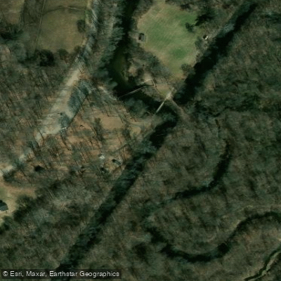
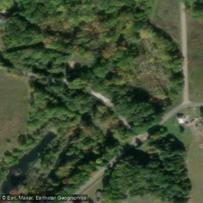
Access points include Doe-Wah-Jack's Livery on M-51, M-62 west of Dowagiac, Peavine Street (Pokagon Township Park), Arthur Dodd Memorial Park near Sumnerville, and Pucker Street Access in Niles. Dowagiac Heddon Memorial Park offers a convenient 1.5-mile out-and-back paddle on the millpond. Arthur Dodd Memorial Park features a restored historic stream meander popular with shore anglers, along with picnic facilities and rustic cabins.
The river flows swiftly year-round, with spring offering peak water levels ideal for navigating tighter sections. Summer and fall provide pleasant conditions, though some upper reaches may become too shallow for reliable passage. Paddlers should expect numerous obstacles including fallen trees, sharp turns, and occasional Class II rapids. The river's narrow, intimate character below certain access points creates technical challenges unsuitable for beginners. Always scout unfamiliar sections and prepare for potential portages around persistent logjams.
Water access, boat ramps & amenities
Learn how to get on Dowagiac River. Uncover great paddling access points, boat ramps, and all the facilities you need for an unforgettable day on the water. Some locations shown may border or include private property. Always check property boundaries and applicable regulations before visiting. PaddleWays's Public & Private Land layer can help you plan your access with confidence.
Paddle smarter with real-time insights
Whether you're en route and conditions shift or you're looking for the best spot based on current flows, we enable you to make informed decisions on the fly.








Find Places to Paddle

Over 400,000 Places to Paddle
Every user gets free access to launch points, boat ramps, and public property parcels.


Water and weather conditions (10 day forecast)
See the best times to paddle Dowagiac River and check the forecast before you go.
DOWAGIAC RIVER AT STATE HWY 51 NEAR DOWAGIAC, MI
All Flow Stations
Paddling near Dowagiac River
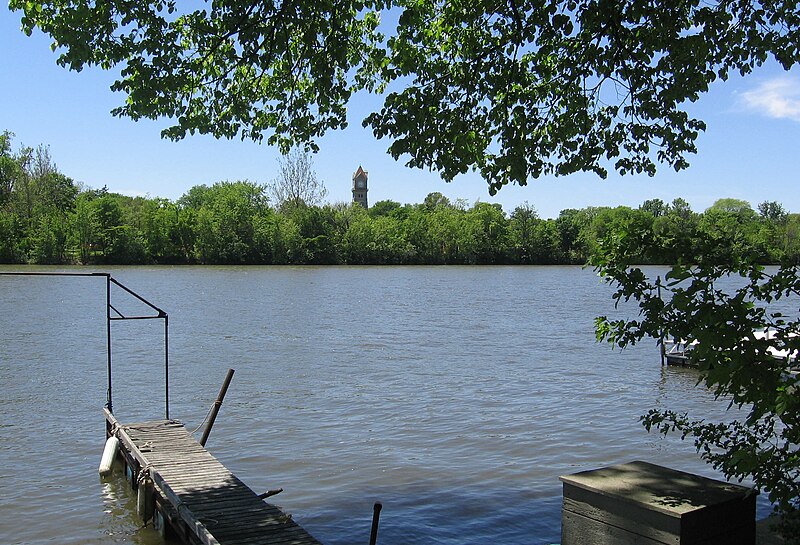
Kankakee River
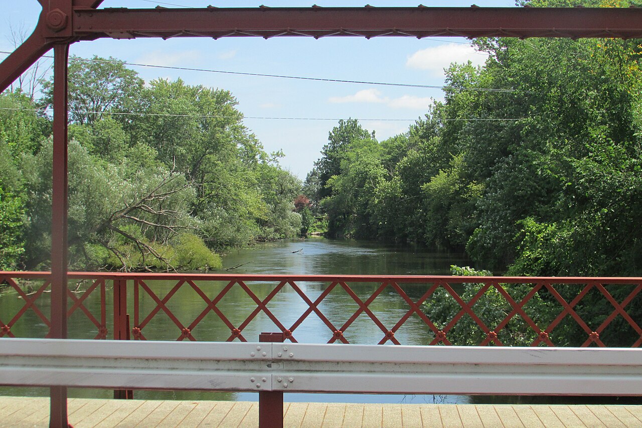
Elkhart River

Lake Michigan
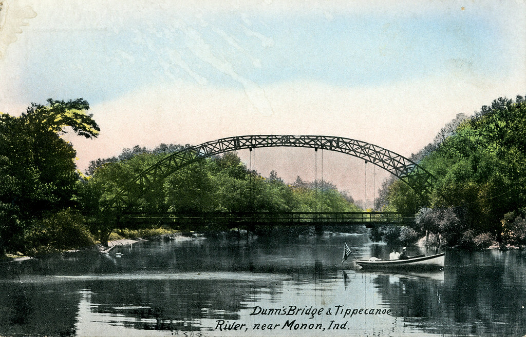
Tippecanoe River
Eel River
Saint Joseph River
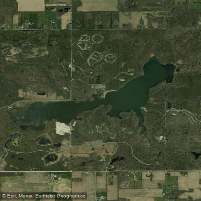
Worster Lake
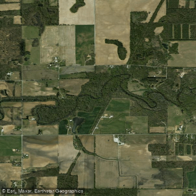
Yellow River
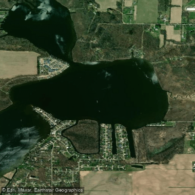
Juno Lake
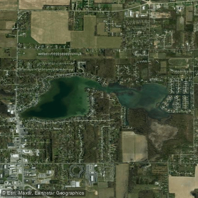
Simonton Lake
Explore Michigan waters
Top paddling waters
Popular Cities
Loading popular cities...
Explore near Dowagiac River
Access points
Nearby waters
More in Michigan

Smarter Paddling Starts in the App.
Paddleways gives you everything you need to plan smarter, paddle better, and own every trip from first launch to takeout.