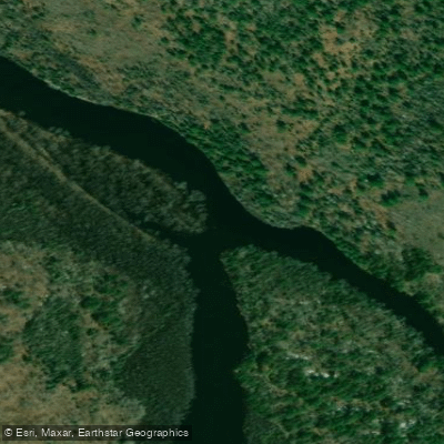
Curated by PaddleWays
RouteClass II–III
- Distance
- 1.6 mi
- Paddle time
- ~0.5 hrs
- Best for
- Intermediate paddlers
- Put-in → take-out
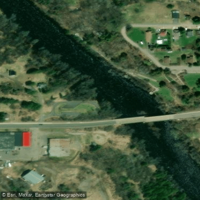
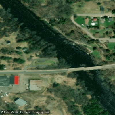
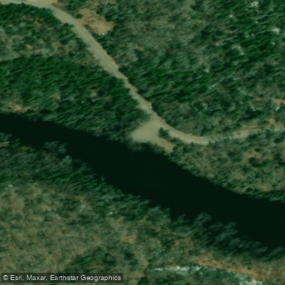
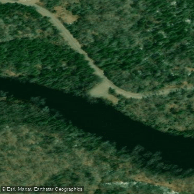
- Little Bull Dam Access → Horserace Rapids Access
Horserace Rapids portage required
The Paint River, a hidden gem in Michigan's Upper Peninsula, winds its way through Iron County, offering a diverse range of paddling experiences for canoeists and kayakers. This scenic waterway begins in the western part of Iron County and flows eastward and southeastward, eventually joining the Brule River before merging with the Michigamme River to form the Menominee River.
The Paint River is characterized by its gravel, sand, and rock bottom, which contributes to its excellent habitat for trout and other fish species. The river system includes the North and South Branches, which converge to form the main stem. Each section of the river presents unique challenges and opportunities for paddlers of varying skill levels.
For those seeking a more adventurous experience, the Hemlock River to Bates Amasa Road section offers a 5.6-mile stretch with Class I-III rapids. The Upper and Lower Hemlock Rapids, both rated Class III, provide thrilling whitewater about two miles upstream from the Bates-Amasa Road bridge. This section is best suited for intermediate to advanced paddlers who are comfortable navigating technical water.
Beginners and families often prefer the calmer Bates-Crystal Falls Township Water Trail, a scenic 7.2-mile float from the Bates-Amasa Road bridge to Erickson's Landing. This relaxing journey typically takes about four hours and is perfect for observing wildlife and enjoying the surrounding natural beauty.
For a longer adventure, experienced paddlers can tackle the 15-mile stretch from FH-16 to Paint River Forks, which is best navigated during high water in spring or after heavy rains. This popular canoe route requires portaging around rapids, dams, and bridges, offering a true wilderness experience.
The Paint River shines brightest in the spring and early summer when water levels are at their peak. Late summer and fall can bring lower water levels, potentially limiting paddling opportunities in some sections. Regardless of the season, paddlers should always check current water conditions before embarking on their journey.
The river corridor is home to a diverse array of wildlife. Anglers will find the Paint River a paradise, with sections designated as Blue-Ribbon Trout Streams by the Michigan Department of Natural Resources. Brook and brown trout are abundant, with some reaching impressive sizes. The river also supports healthy populations of Northern Pike and Smallmouth Bass, especially in its lower reaches.
Several access points and nearby towns make the Paint River easily accessible. Crystal Falls serves as a convenient base for exploring the river, while the Paint River Forks Campground offers camping options for those planning multi-day trips. The Bates-Amasa Road bridge is a popular put-in spot, especially for those looking to avoid the more challenging upper sections.
Safety is paramount on the Paint River. Paddlers should be aware of potential hazards such as submerged logs, swift currents, and challenging rapids in certain sections. It's advisable to wear life jackets at all times and to be prepared for changing weather conditions. Some sections, like the Horserace Rapids, require portaging, so paddlers should be prepared for these obstacles.
For those seeking a multi-day adventure, a popular option is to combine several sections of the river, starting from the FH-16 bridge and taking out at Erickson's Landing. This trip allows paddlers to experience the full range of what the Paint River has to offer, from exciting rapids to peaceful flat water stretches.
The Paint River isn't just a recreational resource; it's also part of the National Wild and Scenic Rivers System, recognizing its outstanding natural, cultural, and recreational values. As you paddle its waters, you're not only enjoying a beautiful river but also participating in the preservation of an important ecological and historical landmark of Michigan's Upper Peninsula.
Curated routes
Hand-picked by the PaddleWays team, with put-ins, take-outs, paddle times and the hazards along the way.
RouteClass II–III
RouteClass II–III
RouteFlatwater
RouteFlatwater
Hazards
No paddler has reported a hazard here yet, so these are the dams, falls and big rapids on our map. Hazards change with flows and storms, so check them before you launch.
From the community
Nobody has shared a trip on Paint River yet. Paddle it, then tell the next paddler how it went.
See exactly where the public can get on and off the river. Launch points and boat ramps are paired with PaddleWays' public land data so you know where you can legally land.
Public shoreline
31%of the river's shoreline is public
Most of the riverbank is private. Launch, land and camp only at public access points.
Flows, weather and a route-by-route verdict, so you know which stretch of the Paint River is worth paddling today.
All Flow Stations
Live flows, marked hazards and fresh trip reports from paddlers who were just on the water, all in one place.





Every user gets free access to launch points, boat ramps, and public property parcels.

Loading popular cities...
PaddleWays gives you everything you need to plan smarter, paddle better, and own every trip from first launch to takeout.