Thomson Reservoir
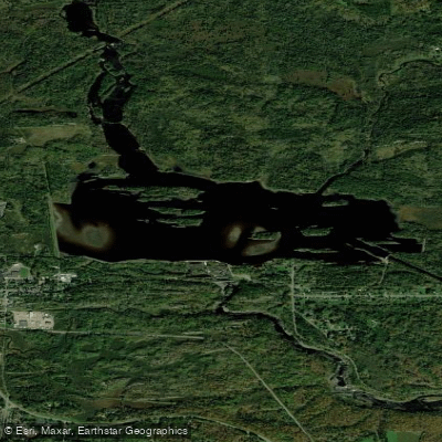
Thomson Reservoir
- Boat Ramps
- 0
- Access Points
- 0
- Campsites
- 6
Thomson Reservoir is a 339-acre impoundment located north of Thomson, Minnesota, operated by Minnesota Power for hydroelectric generation. The reservoir features 11 miles of shoreline and reaches a maximum depth of 22 feet, with 83% of the water body being less than 15 feet deep.
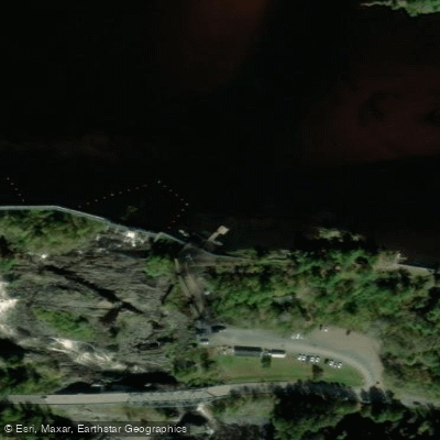
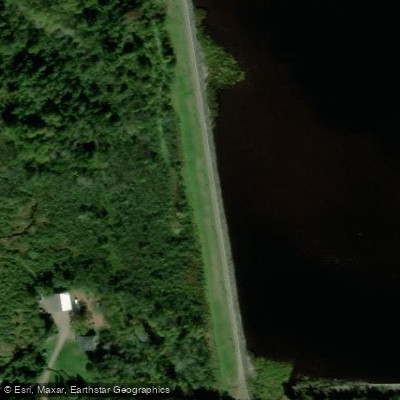
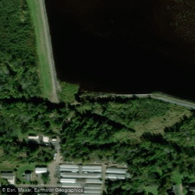
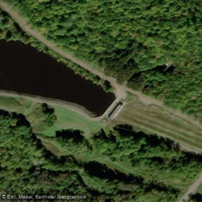
Access is limited to a carry-down site at the north end of Thomson's main street. A planned expansion of the Kayak Center parking lot will improve access for recreational paddlers. The reservoir serves as a take-out point for whitewater paddlers traveling downstream from Scanlon on the St. Louis River.
The reservoir's water levels are subject to manipulation for power generation purposes. Multiple islands and rocky, boreal forest-covered shoreline provide scenic paddling opportunities. The Midway River flows into the reservoir, creating additional areas to explore. Paddlers can spend several hours investigating the various islands, scenic shoreline, and river mouth areas.
The reservoir supports diverse wildlife and fish populations, including smallmouth bass, walleye, northern pike, and yellow perch. The surrounding landscape includes Jay Cooke State Park, offering additional recreational opportunities.
Currently, the reservoir is undergoing an environmental remediation project to address historical contamination from industrial discharges, specifically dioxins and furans in the sediment. The project, scheduled for 2024, will treat approximately 69 acres of the reservoir but should not significantly impact recreational access.
For paddlers seeking a full day of exploration, nearby water bodies include Scanlon Reservoir (3.2 miles away) and Knife Falls Reservoir (4.2 miles away). The reservoir's location near Carlton provides convenient access to local amenities and services.
Water access, boat ramps & amenities
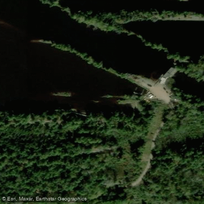
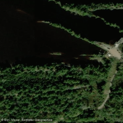
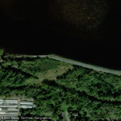
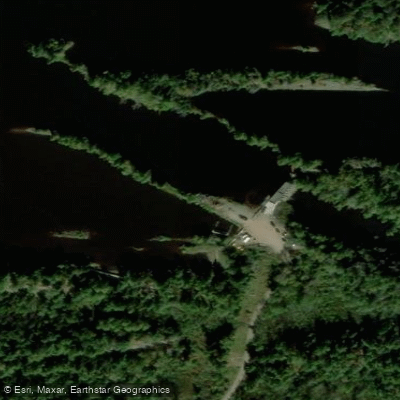
Learn how to get on Thomson Reservoir. Uncover great paddling access points, boat ramps, and all the facilities you need for an unforgettable day on the water. Some locations shown may border or include private property. Always check property boundaries and applicable regulations before visiting. PaddleWays's Public & Private Land layer can help you plan your access with confidence.
Paddle smarter with real-time insights
Whether you're en route and conditions shift or you're looking for the best spot based on current flows, we enable you to make informed decisions on the fly.








Find Places to Paddle

Over 400,000 Places to Paddle
Every user gets free access to launch points, boat ramps, and public property parcels.


Water and weather conditions (10 day forecast)
See the best times to paddle Thomson Reservoir and check the forecast before you go.
No forecast data available.
Paddling near Thomson Reservoir

Lake Superior
Island Lake Reservoir
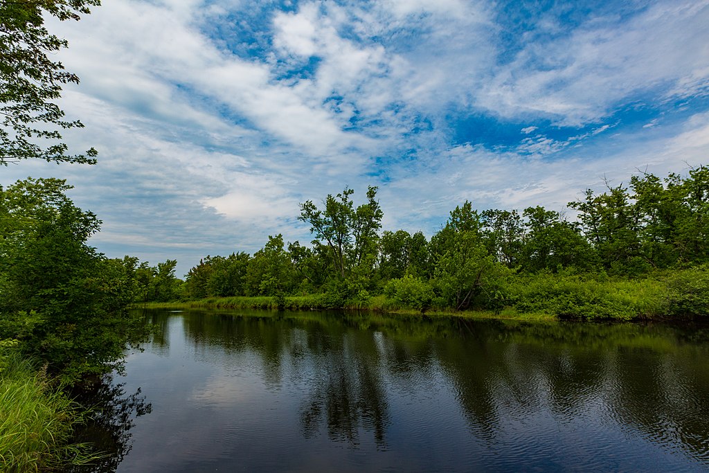
Cloquet River
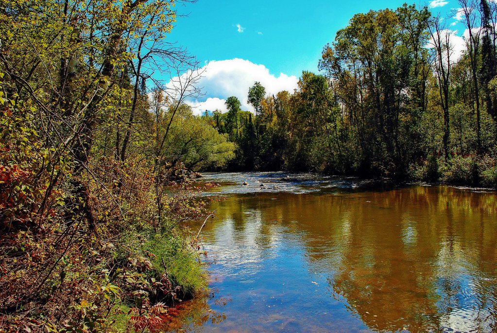
Bois Brule River
Namekagon River
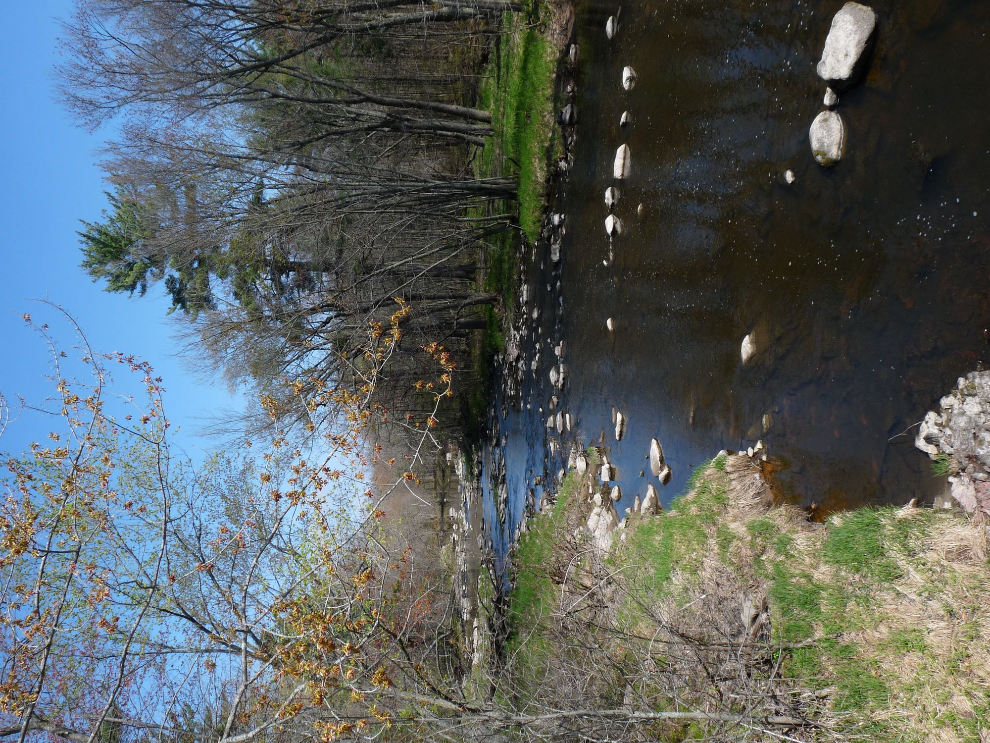
Yellow River
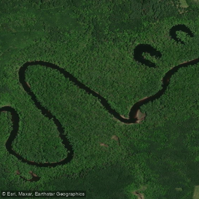
Saint Louis River
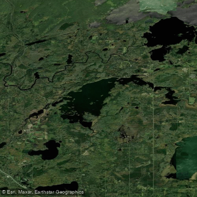
Fish Lake Reservoir
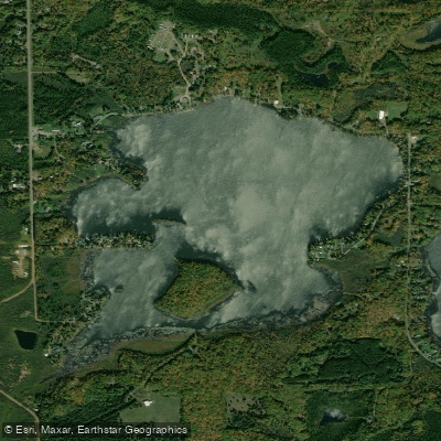
Amnicon Lake
Explore Minnesota waters
Top paddling waters
Popular Cities
Loading popular cities...
Explore near Thomson Reservoir
Access points
Nearby waters
More in Minnesota

Smarter Paddling Starts in the App.
Paddleways gives you everything you need to plan smarter, paddle better, and own every trip from first launch to takeout.