Amnicon Lake
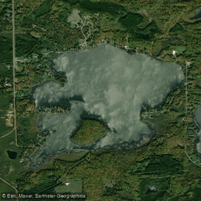
Amnicon Lake
- Boat Ramps
- 2
- Access Points
- 2
- Campsites
- 1
Amnicon Lake is a 390-acre body of water in Douglas County, Wisconsin, offering a straightforward paddling experience with easy access via a public boat landing off Tri Lakes Road. The lake reaches a maximum depth of 31 feet and maintains relatively low water clarity throughout the year.
The lake supports a diverse fish population including musky, panfish, largemouth bass, and walleye, making it an interesting destination for paddler-anglers. While the shoreline is heavily developed with homes, the surrounding forest provides an attractive backdrop for paddling excursions.
A key feature of the lake's character is its connection to the broader watershed - it is part of the Amnicon-Dowling Lake Management District, which works to preserve and protect the lake's water quality and recreational value. Recent aquatic plant surveys have been conducted to monitor the lake's ecosystem health.
Facilities are limited but functional, with the primary access point being the public boat landing. The lake's modest size makes it suitable for half-day or full-day paddling adventures. Local regulations require all watercraft to follow Wisconsin boating rules, and visitors should check for posted regulations at the public landing before launching.
The lake experiences seasonal challenges with water quality and clarity issues. The Amnicon-Dowling Lake Management District actively works to reduce external and internal nutrient loading to achieve better water quality that will support a healthy lake ecosystem.
For paddlers interested in local history, the lake is part of a significant watershed that includes the nearby Amnicon River, known for its historic role in the region's logging operations.
Water access, boat ramps & amenities
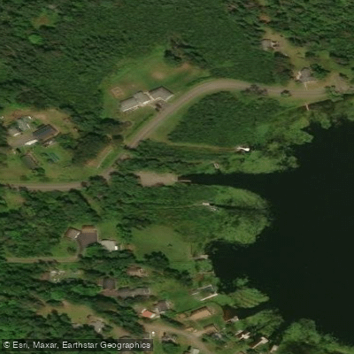
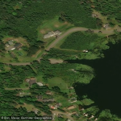
Learn how to get on Amnicon Lake. Uncover great paddling access points, boat ramps, and all the facilities you need for an unforgettable day on the water. Some locations shown may border or include private property. Always check property boundaries and applicable regulations before visiting. PaddleWays's Public & Private Land layer can help you plan your access with confidence.
Paddle smarter with real-time insights
Whether you're en route and conditions shift or you're looking for the best spot based on current flows, we enable you to make informed decisions on the fly.








Find Places to Paddle

Over 400,000 Places to Paddle
Every user gets free access to launch points, boat ramps, and public property parcels.


Water and weather conditions (10 day forecast)
See the best times to paddle Amnicon Lake and check the forecast before you go.
No forecast data available.
Paddling near Amnicon Lake

Lake Superior
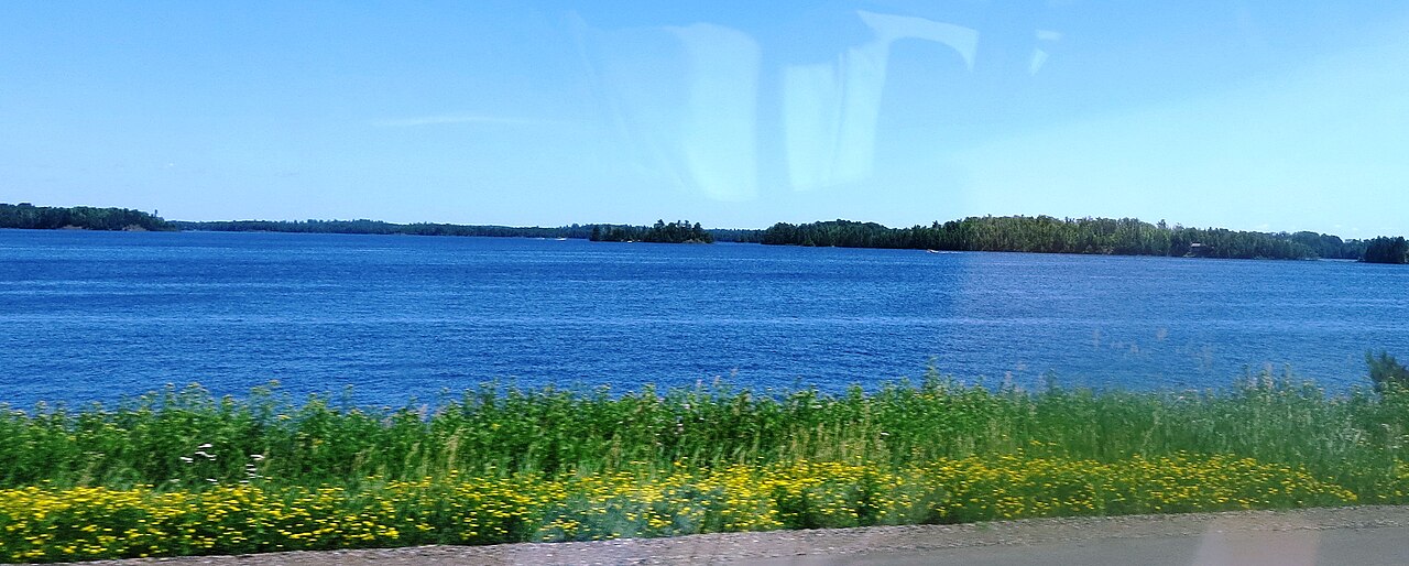
Island Lake Reservoir
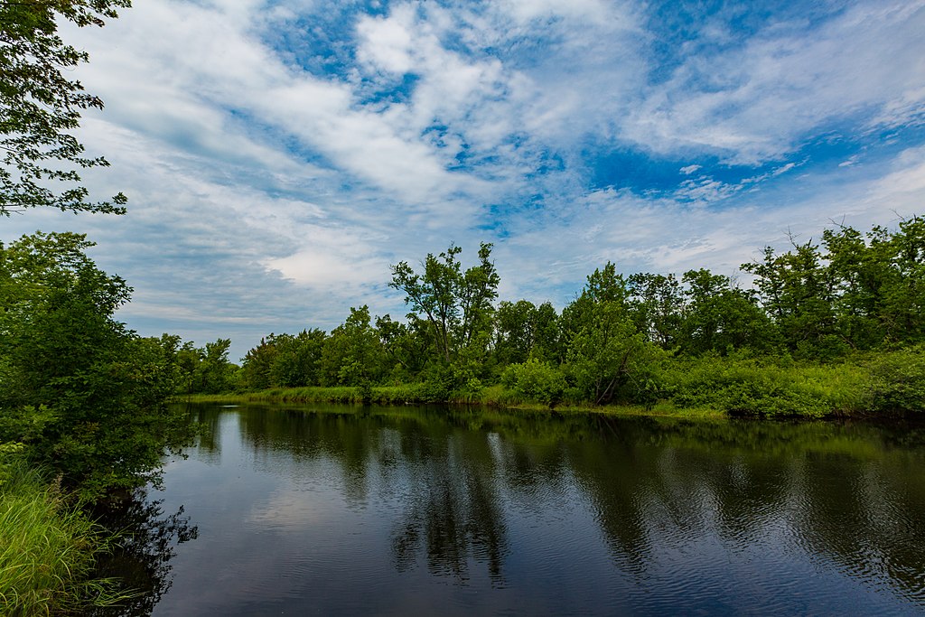
Cloquet River
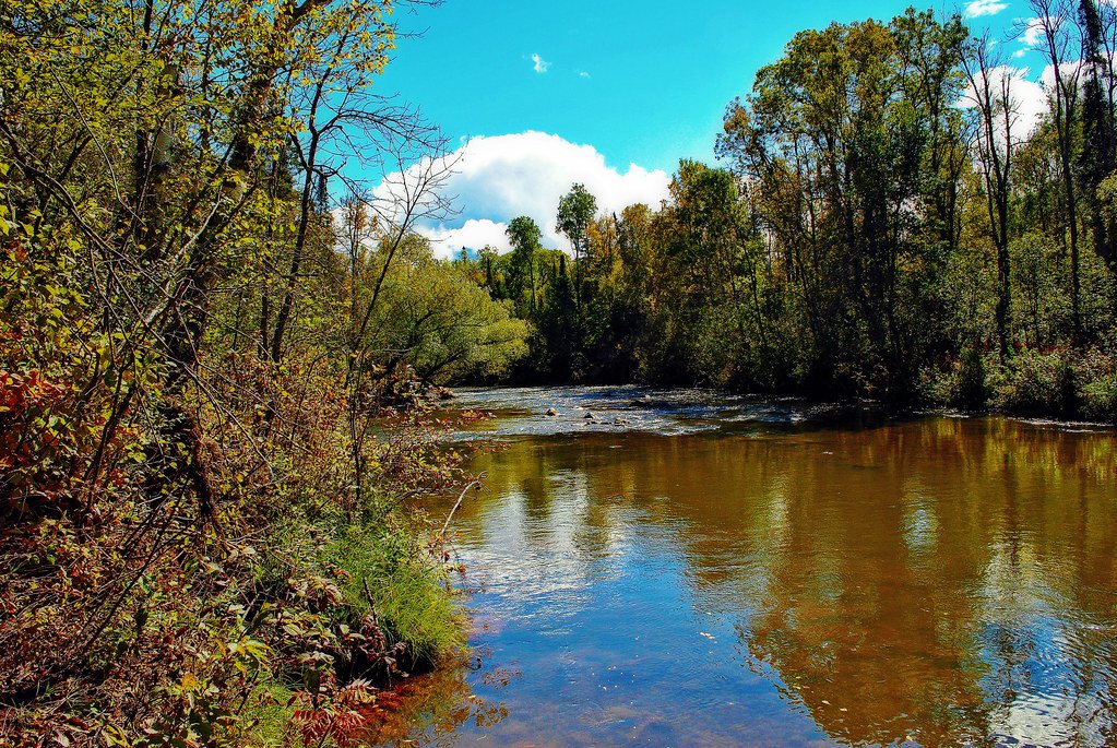
Bois Brule River
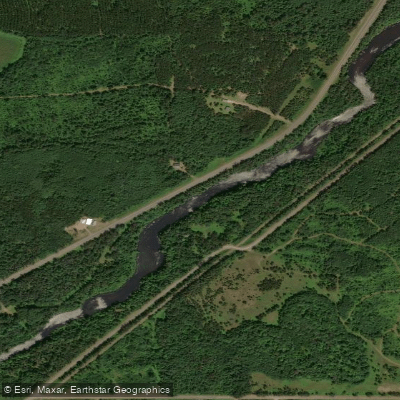
Namekagon River
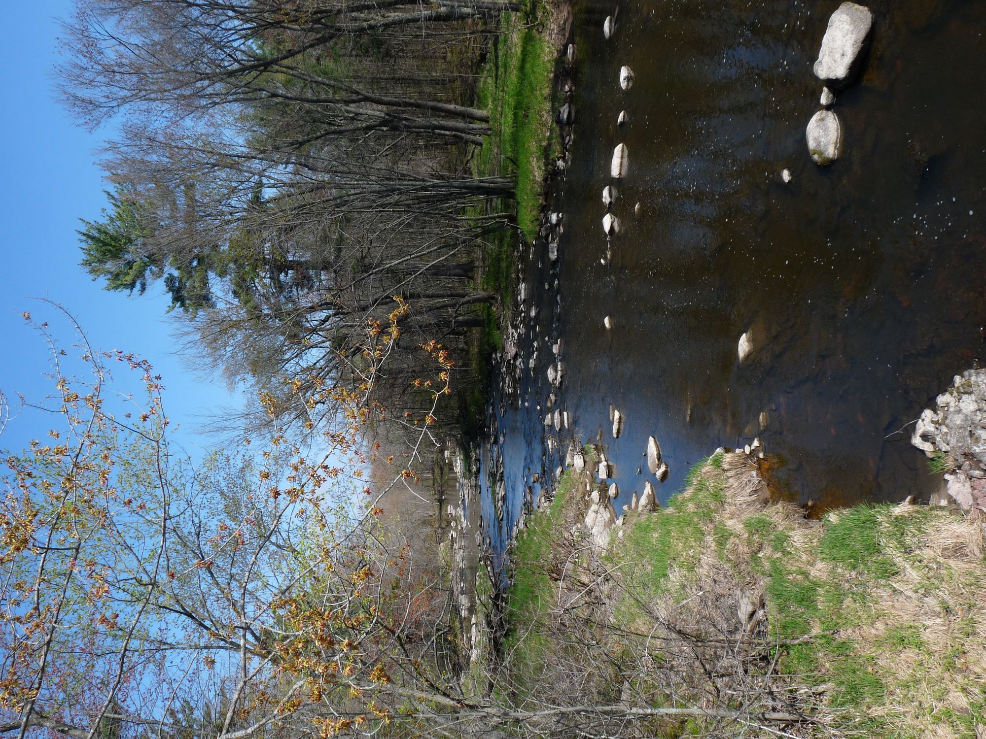
Yellow River
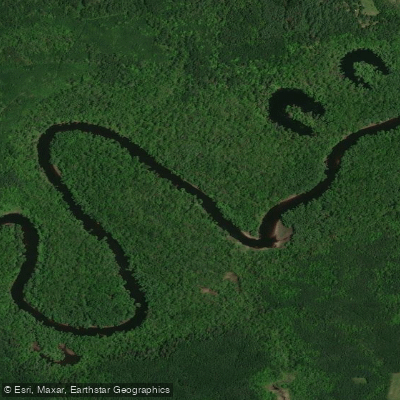
Saint Louis River
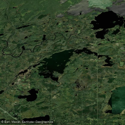
Fish Lake Reservoir
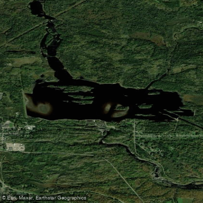
Thomson Reservoir
Explore Wisconsin waters
Top paddling waters
Popular Cities
Loading popular cities...
Explore near Amnicon Lake

Smarter Paddling Starts in the App.
Paddleways gives you everything you need to plan smarter, paddle better, and own every trip from first launch to takeout.