Davis Lake
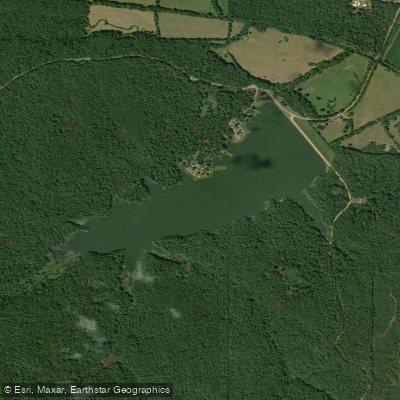
Davis Lake
- Boat Ramps
- 1
- Access Points
- 1
- Campsites
- 2
Davis Lake is a 200-acre impoundment located in the Tombigbee National Forest in Chickasaw County, Mississippi, accessible via County Road 124 off the Natchez Trace Parkway at milepost 243. The lake represents a remarkable fisheries management success story, having been redesigned and restocked with Florida-strain largemouth bass in 1999 following valve repairs that temporarily drained the reservoir.
The lake's underwater structure is particularly noteworthy for paddlers seeking to understand its layout. Over three miles of ditches were strategically cut into the lake bottom during the redesign, creating a network roughly shaped like a tuning fork. This extensive ditch system provides bass habitat throughout the lake rather than concentrating fish in specific areas, contributing to less-pressured fishing conditions and excellent opportunities for trophy bass.
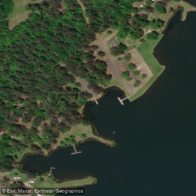
Access for paddlers is available from the Davis Lake Recreation Area, which offers a boat ramp and day-use facilities. The lake's relatively small size makes it ideal for kayakers and canoeists seeking a manageable paddling experience. The limestone lake bottom creates productive conditions that support abundant fish populations, making wildlife observation rewarding for paddlers.
The surrounding Tombigbee National Forest provides scenic backdrop with lush vegetation and opportunities for birding along the shoreline. The lake features three birding trails totaling 1.5 miles in length near the recreation area, and the diverse habitat attracts waterfowl and songbirds throughout the year.
Special fishing regulations apply, including an 18-22 inch slot limit for black bass with a 10-fish daily creel (only one over 22 inches allowed) and restrictive walleye regulations. Paddlers should be aware that fishing pressure has increased as word has spread about the lake's trophy bass potential, with fish over 11 pounds already documented and predictions of bass reaching 15-16 pounds.
The recreation area offers camping, swimming, hiking, and picnic facilities, making it suitable for extended visits combining paddling with other outdoor activities in this nationally-managed forest setting.
Water access, boat ramps & amenities
Learn how to get on Davis Lake. Uncover great paddling access points, boat ramps, and all the facilities you need for an unforgettable day on the water. Some locations shown may border or include private property. Always check property boundaries and applicable regulations before visiting. PaddleWays's Public & Private Land layer can help you plan your access with confidence.
Paddle smarter with real-time insights
Whether you're en route and conditions shift or you're looking for the best spot based on current flows, we enable you to make informed decisions on the fly.








Find Places to Paddle

Over 400,000 Places to Paddle
Every user gets free access to launch points, boat ramps, and public property parcels.


Water and weather conditions (10 day forecast)
See the best times to paddle Davis Lake and check the forecast before you go.
No forecast data available.
Paddling near Davis Lake
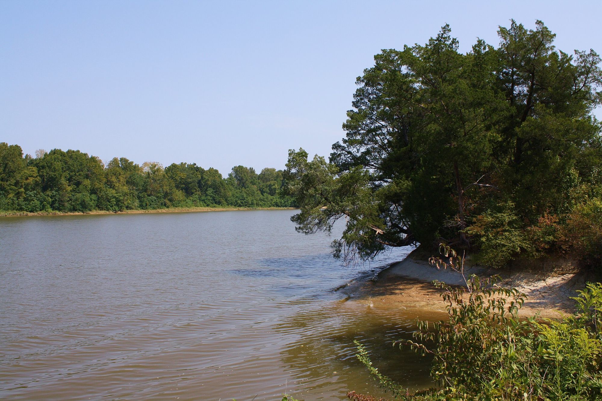
Tombigbee River
Little Tallahatchie River
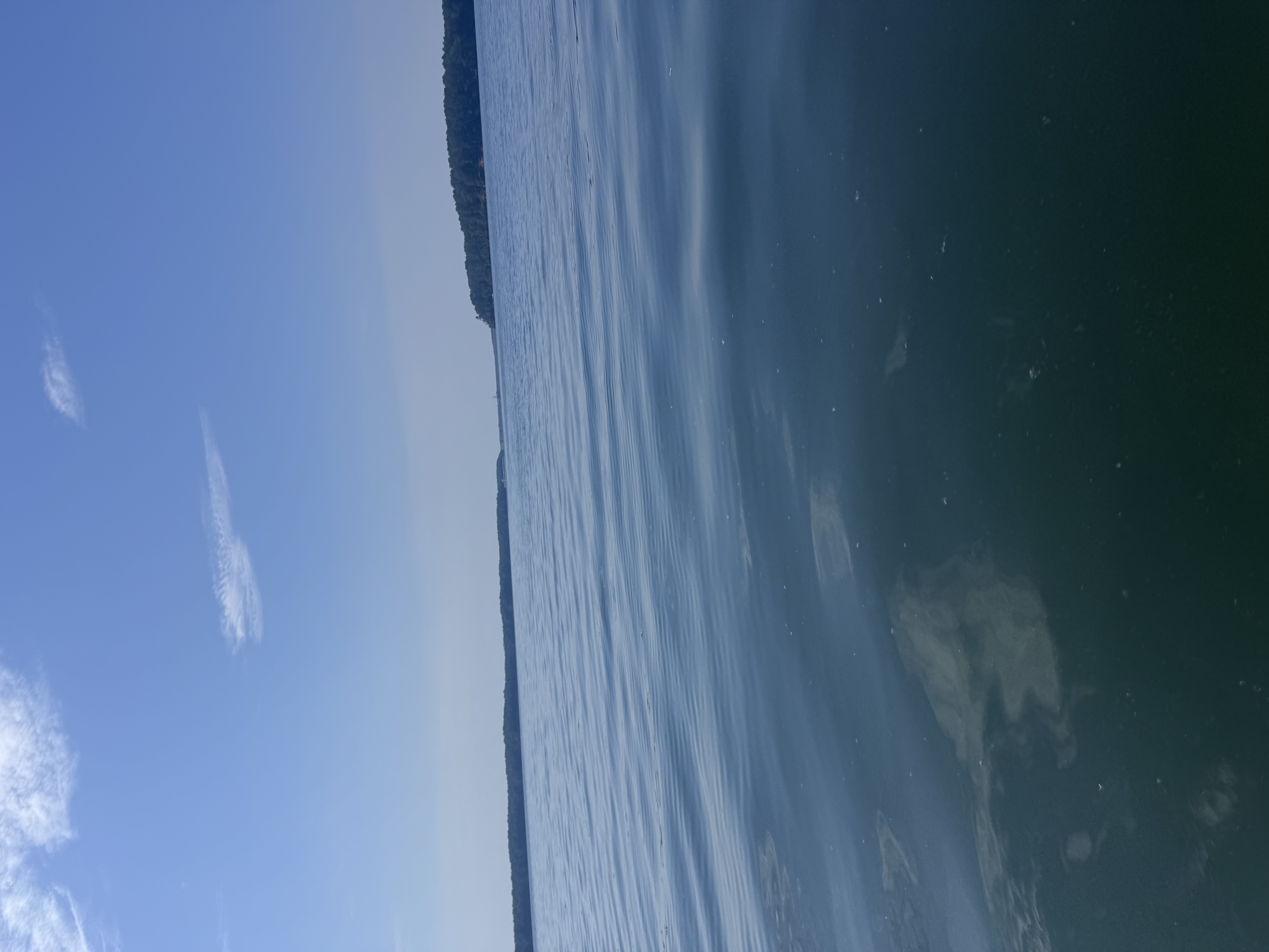
Bay Springs Lake
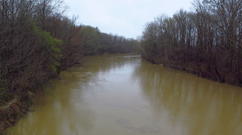
Yalobusha River
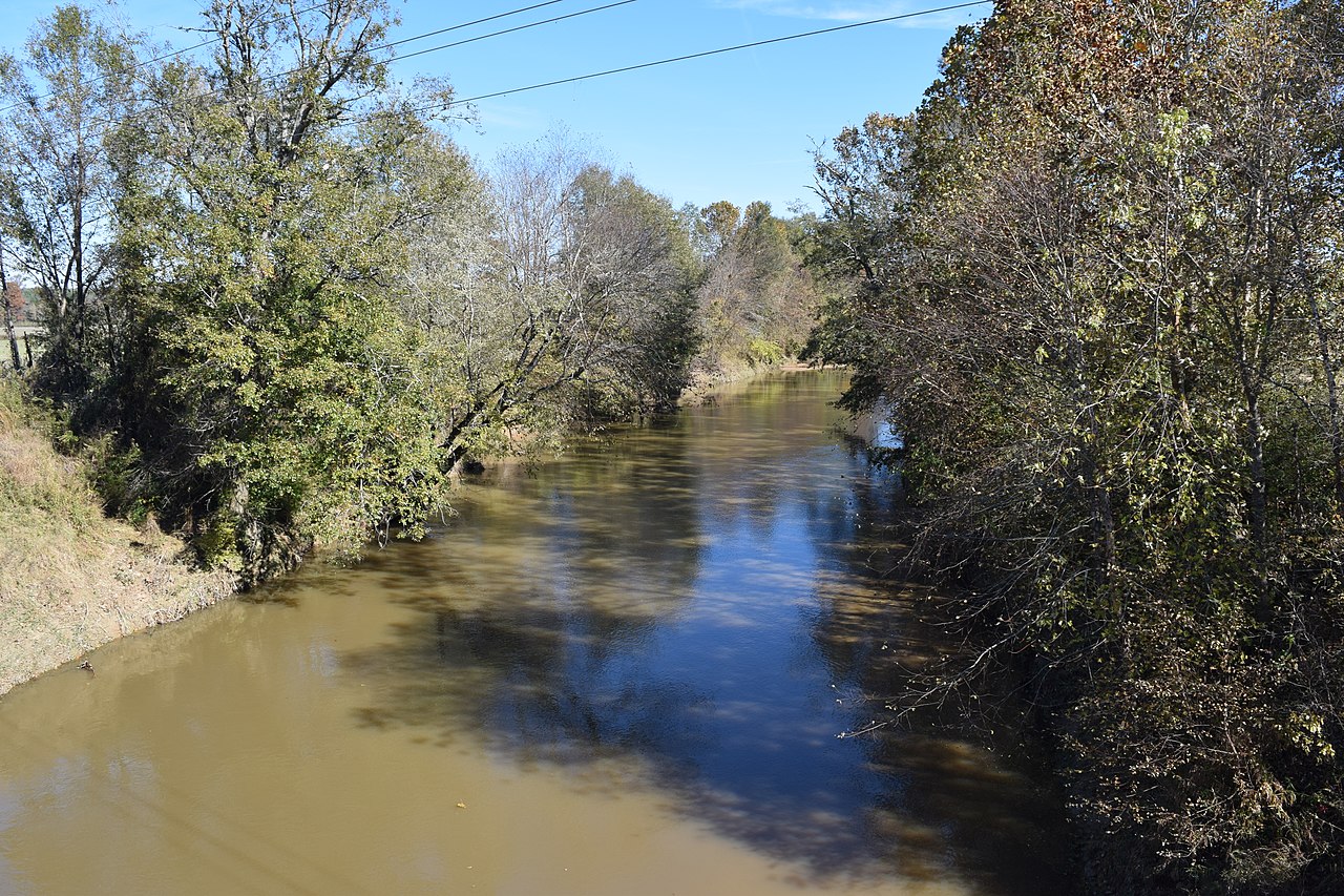
Yocona River
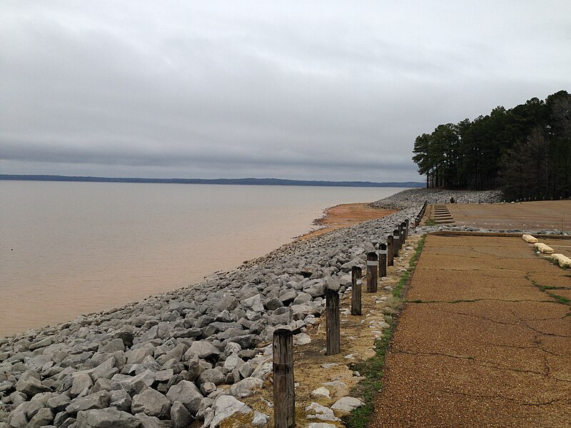
Sardis Lake
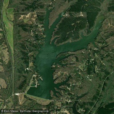
Lake Lamar Bruce
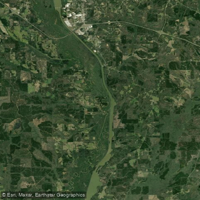
Pool C
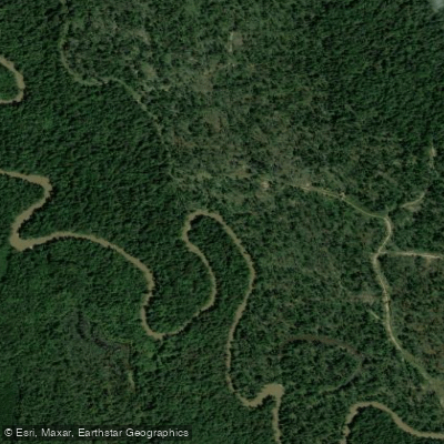
Hatchie River
Explore Mississippi waters
Top paddling waters
Popular Cities
Loading popular cities...
Explore near Davis Lake
Access points
Nearby waters
More in Mississippi

Smarter Paddling Starts in the App.
Paddleways gives you everything you need to plan smarter, paddle better, and own every trip from first launch to takeout.