Lake Lamar Bruce
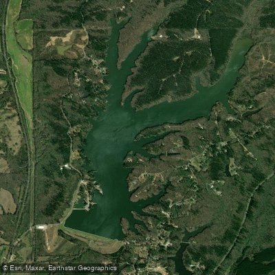
Lake Lamar Bruce
- Boat Ramps
- 1
- Access Points
- 8
- Campsites
- 1
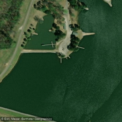
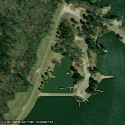
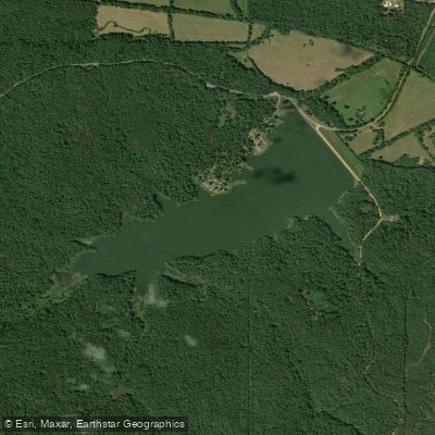
Lake Lamar Bruce is a 300-acre impoundment located 1.5 miles northeast of Saltillo, Mississippi off U.S. 45. The lake features a public concrete boat ramp with courtesy piers for access. A thick forest surrounds the shoreline, creating an attractive natural setting, though some homes are visible along parts of the shoreline.
The lake operates under No Wake regulations most of the time, with water skiing allowed only on Thursdays, Sundays, Memorial Day, July 4th, and Labor Day from noon to sunset. Personal flotation devices (PFDs) are required for all boaters. The lake's protected status and limited skiing schedule helps maintain calm conditions suitable for paddling.
Amenities include restrooms with showers, picnic areas with grills, and a pavilion. Five handicap-accessible fishing piers and six earthen piers are positioned around the lake. For overnight trips, the lake offers 11 developed camping sites with electrical/water hookups as well as primitive camping options.
Wildlife viewing opportunities include various fish species and waterfowl. The lake is stocked with largemouth bass, carp, redear sunfish, bluegill, crappie, and channel catfish. The surrounding forest provides habitat for songbirds and other wildlife.
The lake's geography includes several points and coves, with fish attractors placed at five marked locations throughout the lake. The lake reaches a maximum depth of 31 feet. Recent renovations included the construction of two new levees and the addition of a smaller pond adjacent to the main lake.
For trip planning purposes, contact the lake office at (662) 869-2009. Daily and annual permits are required for lake access. The facility is managed by the Mississippi Department of Wildlife, Fisheries, and Parks.
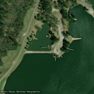
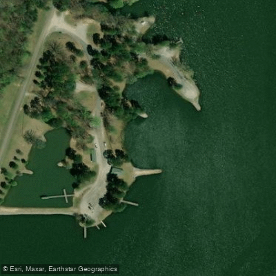
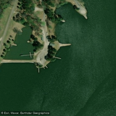
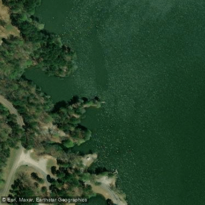
Water access, boat ramps & amenities
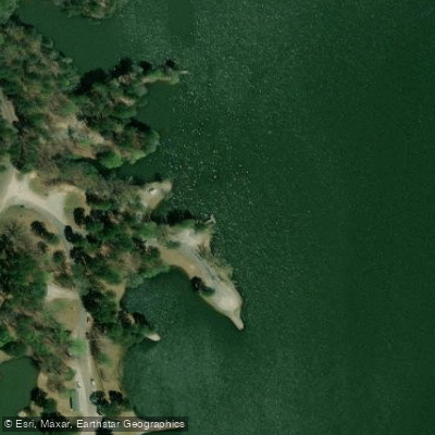
Learn how to get on Lake Lamar Bruce. Uncover great paddling access points, boat ramps, and all the facilities you need for an unforgettable day on the water. Some locations shown may border or include private property. Always check property boundaries and applicable regulations before visiting. PaddleWays's Public & Private Land layer can help you plan your access with confidence.
Paddle smarter with real-time insights
Whether you're en route and conditions shift or you're looking for the best spot based on current flows, we enable you to make informed decisions on the fly.








Find Places to Paddle

Over 400,000 Places to Paddle
Every user gets free access to launch points, boat ramps, and public property parcels.


Water and weather conditions (10 day forecast)
See the best times to paddle Lake Lamar Bruce and check the forecast before you go.
No forecast data available.
Paddling near Lake Lamar Bruce
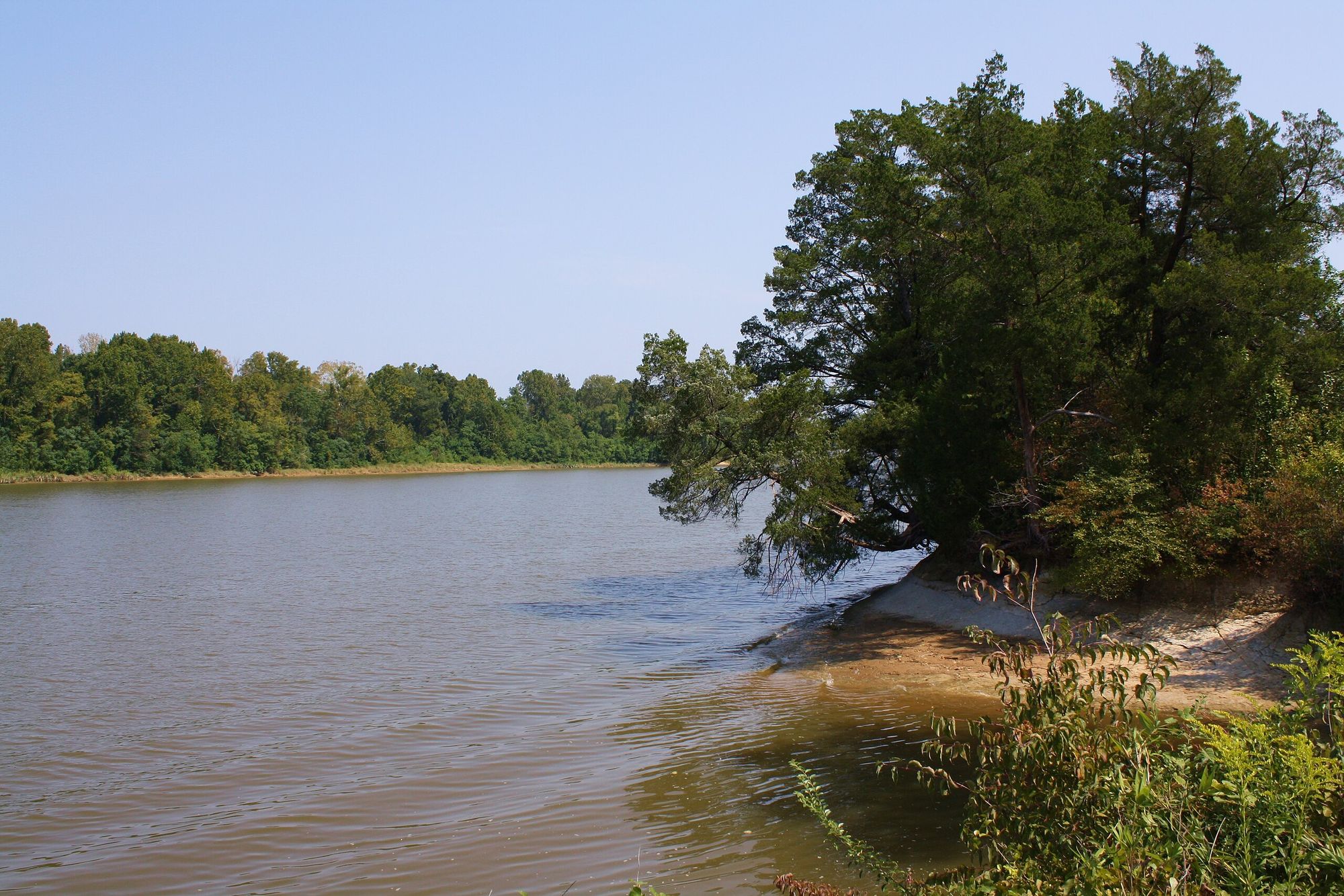
Tombigbee River
Little Tallahatchie River
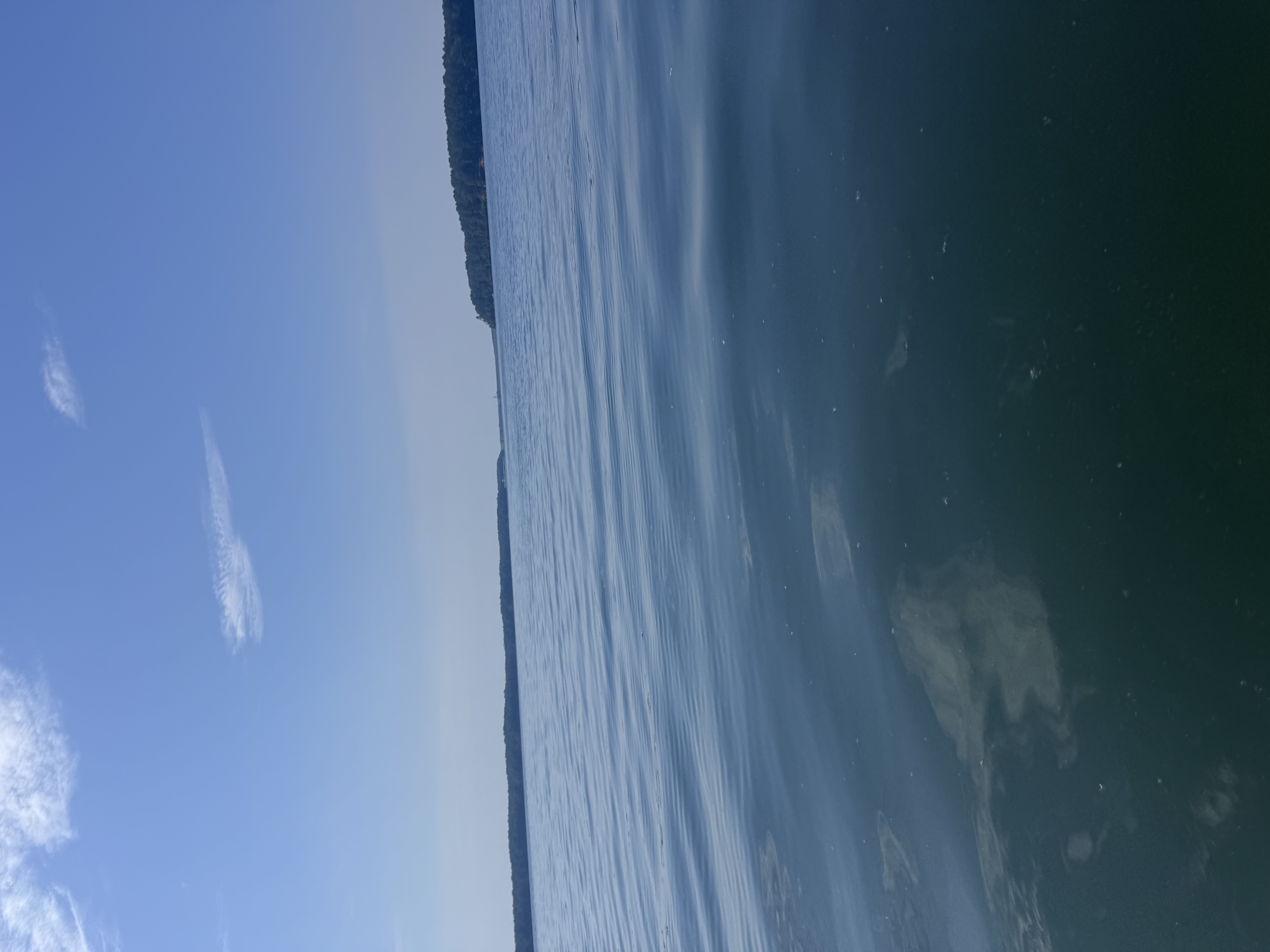
Bay Springs Lake
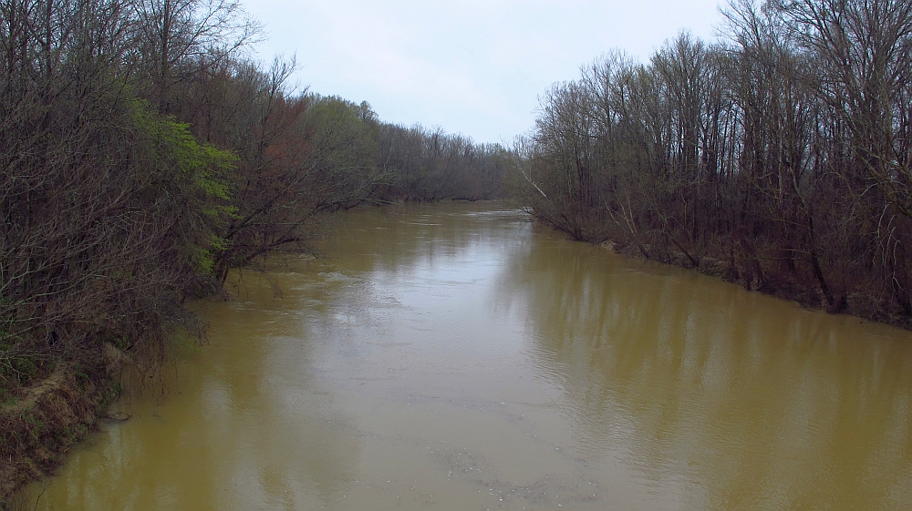
Yalobusha River
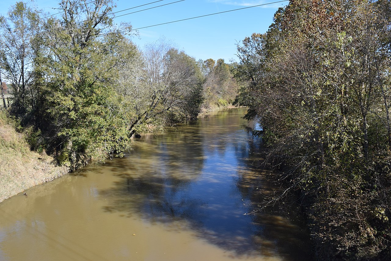
Yocona River
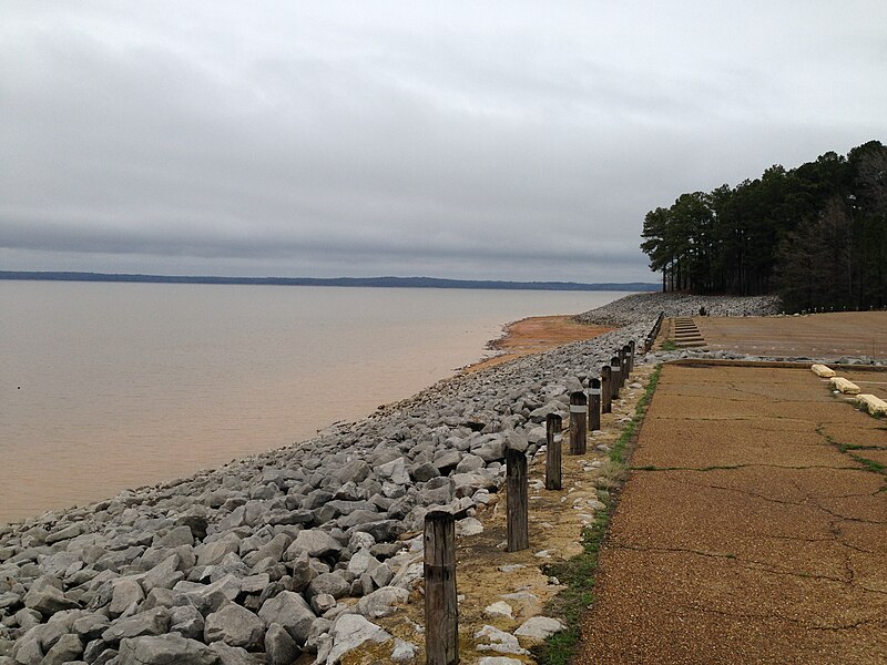
Sardis Lake
Pool C
Hatchie River
Davis Lake
Explore Mississippi waters
Top paddling waters
Popular Cities
Loading popular cities...
Explore near Lake Lamar Bruce
Access points
Nearby waters
More in Mississippi

Smarter Paddling Starts in the App.
Paddleways gives you everything you need to plan smarter, paddle better, and own every trip from first launch to takeout.