Tunica Lake
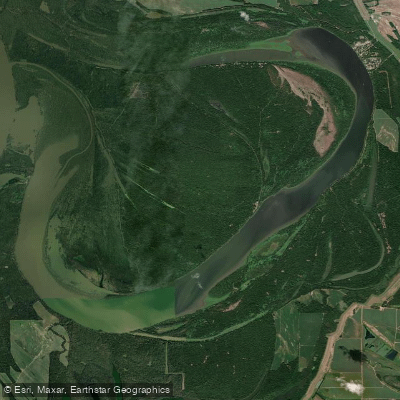
Tunica Lake
- Boat Ramps
- 4
- Access Points
- 4
- Campsites
- 1
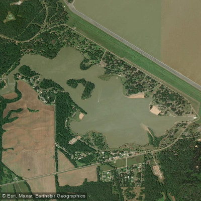
Tunica Lake, also known as Tunica Cutoff, is an oxbow lake straddling the Arkansas-Mississippi border. Created in 1942 when the Army Corps of Engineers constructed the Hardin Cutoff, this narrow, curving lake offers a unique paddling experience rich in history and wildlife.
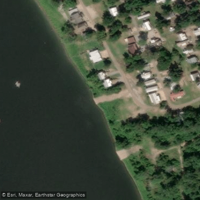
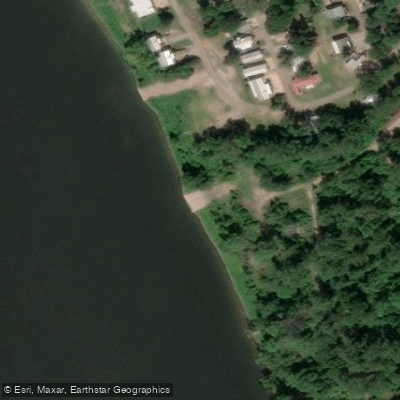
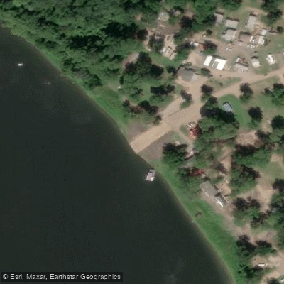
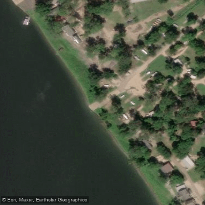
Access to Tunica Lake is primarily from the Mississippi side, with four boat ramps located at the northern end near a small community of cottages, fishing camps, and an RV park. While the lake can be fished with either an Arkansas or Mississippi license, most recreational boats can only access it from Mississippi.
The lake's water levels fluctuate seasonally in tandem with the Mississippi River, connected via a small channel at the southern end called "Shoo Fly Bar." This channel allows spawning fish to enter the lake and provides boaters access to the river, but paddlers should be aware of potential strong currents and commercial river traffic.
Tunica Lake is home to a diverse array of fish species, including largemouth bass, crappie, catfish, and bluegill, making it an excellent destination for anglers. Wildlife enthusiasts may spot various waterfowl and potentially bald eagles, which are becoming more common in the area.
The lake's surroundings offer a glimpse into the region's past. The nearby town of Austin, once situated directly on the river's east bank, now stands back from the water due to historical flooding and river changes. North of Austin, paddlers can explore the community of "Fox Island."
When planning a trip, be mindful that the lake's appearance can change dramatically with water levels. Sandbars and wetlands visible on maps may look quite different depending on the season and recent river conditions.
The lake's narrow, curving shape naturally lends itself to exploration. Paddlers should exercise caution and be prepared for potential encounters with motorized boat traffic, especially during peak fishing seasons.
Water access, boat ramps & amenities
Learn how to get on Tunica Lake. Uncover great paddling access points, boat ramps, and all the facilities you need for an unforgettable day on the water. Some locations shown may border or include private property. Always check property boundaries and applicable regulations before visiting. PaddleWays's Public & Private Land layer can help you plan your access with confidence.
Paddle smarter with real-time insights
Whether you're en route and conditions shift or you're looking for the best spot based on current flows, we enable you to make informed decisions on the fly.








Find Places to Paddle

Over 400,000 Places to Paddle
Every user gets free access to launch points, boat ramps, and public property parcels.


Water and weather conditions (10 day forecast)
See the best times to paddle Tunica Lake and check the forecast before you go.
No forecast data available.
Paddling near Tunica Lake
Arkabutla Lake

Mississippi River
Coldwater River
Sardis Lake
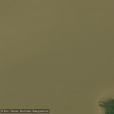
Little Tallahatchie River
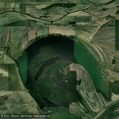
Horseshoe Lake
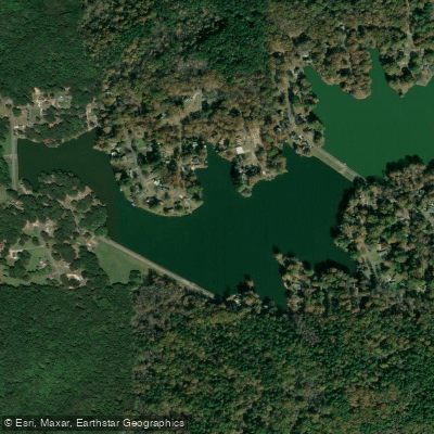
Thunderbird Lake
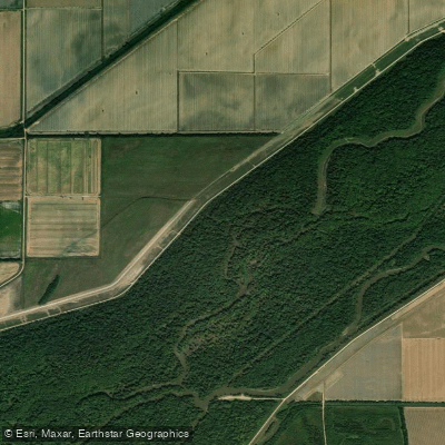
Saint Francis River
Lower Lake
Explore Mississippi waters
Top paddling waters
Popular Cities
Loading popular cities...
Explore near Tunica Lake
Access points
Nearby waters
More in Mississippi

Smarter Paddling Starts in the App.
Paddleways gives you everything you need to plan smarter, paddle better, and own every trip from first launch to takeout.