Curated by PaddleWays
RouteFlatwater
- Distance
- 30.8 mi
- Paddle time
- Multi-day
- Put-in → take-out
- Paris Boat Ramp → 107 Boat Ramp
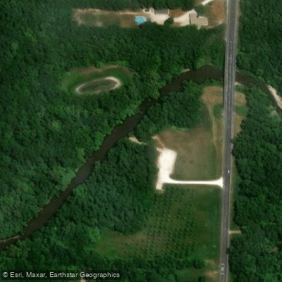
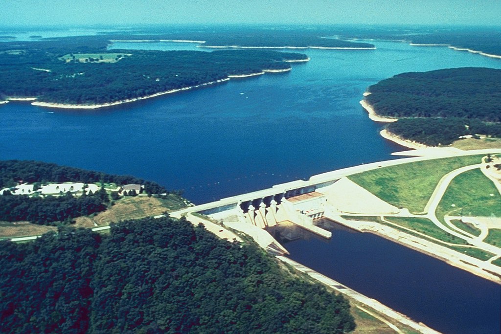
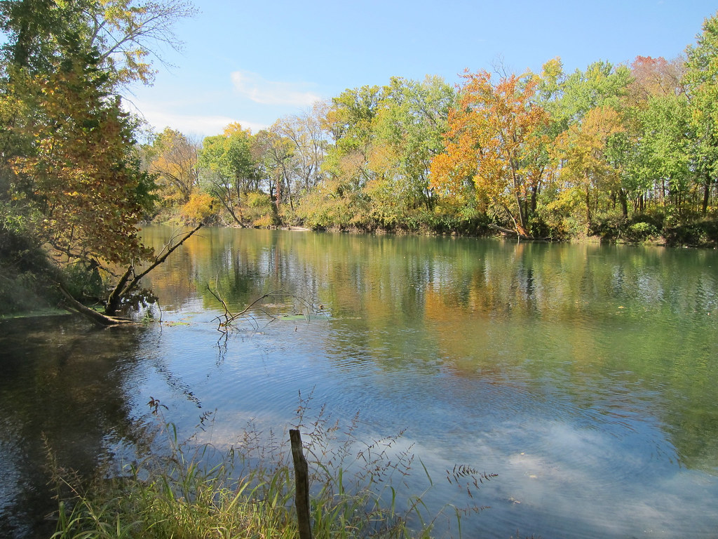
The Middle Fork Salt River is a significant tributary of the Salt River system in northeast Missouri. Originating in Audrain County, it flows northward for approximately 68 miles before joining the Salt River proper. The Middle Fork, along with the North Fork and South Fork, forms the primary watershed feeding Mark Twain Lake. Paddling opportunities on the Middle Fork Salt River are primarily suited for flatwater kayaking and canoeing. The river offers a scenic journey through Missouri's diverse landscape of grasslands and forests. While not known for whitewater, the Middle Fork provides a peaceful paddling experience suitable for beginners and families.
The most popular paddling section begins at Paris Access in Monroe County, where a concrete boat ramp allows for easy launching. From here, paddlers can enjoy a leisurely float downstream, though the exact length of typical trips is not well-documented. The river's flow is generally gentle, making it accessible to novice paddlers, but as with all rivers, conditions can vary based on recent rainfall and releases from upstream. Spring and early summer typically offer the best paddling conditions, with higher water levels from seasonal rains. However, the Middle Fork can be paddled year-round, weather permitting. Late summer and fall may require more portaging due to lower water levels.
The riparian corridor along the Middle Fork supports a variety of wildlife. Paddlers may encounter deer coming to the river to drink, as well as numerous bird species. The mix of grassland and forest habitats provides ample opportunity for nature observation.
Historical significance of the Middle Fork lies in its role as part of the larger Salt River system, which has been important for transportation and commerce in northeast Missouri since the early days of settlement. Today, the river serves primarily recreational and ecological purposes.
Safety considerations include checking water levels before paddling, as low water can lead to more frequent portaging. There are no major rapids, but paddlers should always be aware of potential strainers or log jams, especially after high water events.
For those interested in multi-day trips, it may be possible to combine the Middle Fork with other sections of the Salt River system, potentially paddling all the way to Mark Twain Lake. However, such extended trips would require careful planning and possibly arranging shuttles between access points.
The Middle Fork Salt River offers a quintessential Missouri paddling experience, allowing visitors to immerse themselves in the natural beauty of the state's northeastern region while enjoying a calm and accessible waterway.
Curated routes
Hand-picked by the PaddleWays team, with put-ins, take-outs, paddle times and the hazards along the way.
RouteFlatwater
Hazards
No hazards are marked on Middle Fork Salt River yet. That is not the same as none being there: if you find one, report it for the next paddler.
From the community
Nobody has shared a trip on Middle Fork Salt River yet. Paddle it, then tell the next paddler how it went.
See exactly where the public can get on and off the river. Launch points and boat ramps are paired with PaddleWays' public land data so you know where you can legally land.
Public shoreline
1%of the river's shoreline is public
Most of the riverbank is private. Launch, land and camp only at public access points.
Flows, weather and a route-by-route verdict, so you know which stretch of the Middle Fork Salt River is worth paddling today.
Live flows, marked hazards and fresh trip reports from paddlers who were just on the water, all in one place.





Every user gets free access to launch points, boat ramps, and public property parcels.

Loading popular cities...
PaddleWays gives you everything you need to plan smarter, paddle better, and own every trip from first launch to takeout.