Curated by PaddleWays
RouteClass I–II
- Distance
- 26 mi
- Paddle time
- ~8.5 hrs
- Put-in → take-out
- Highway 14 Access → Norfork Lake Management Lands Boat Ramp
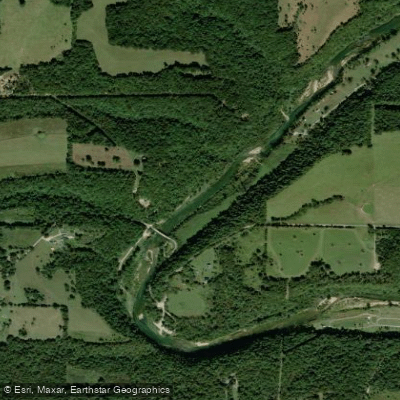
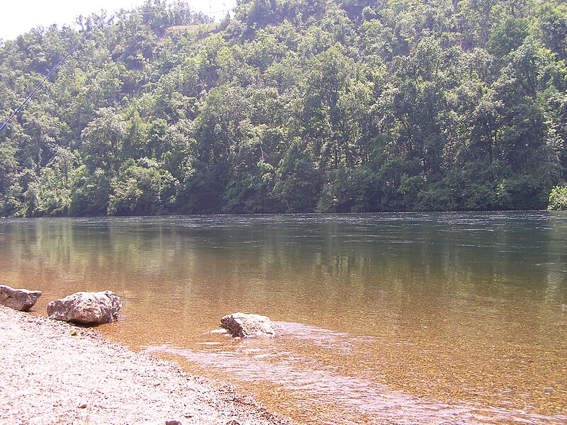
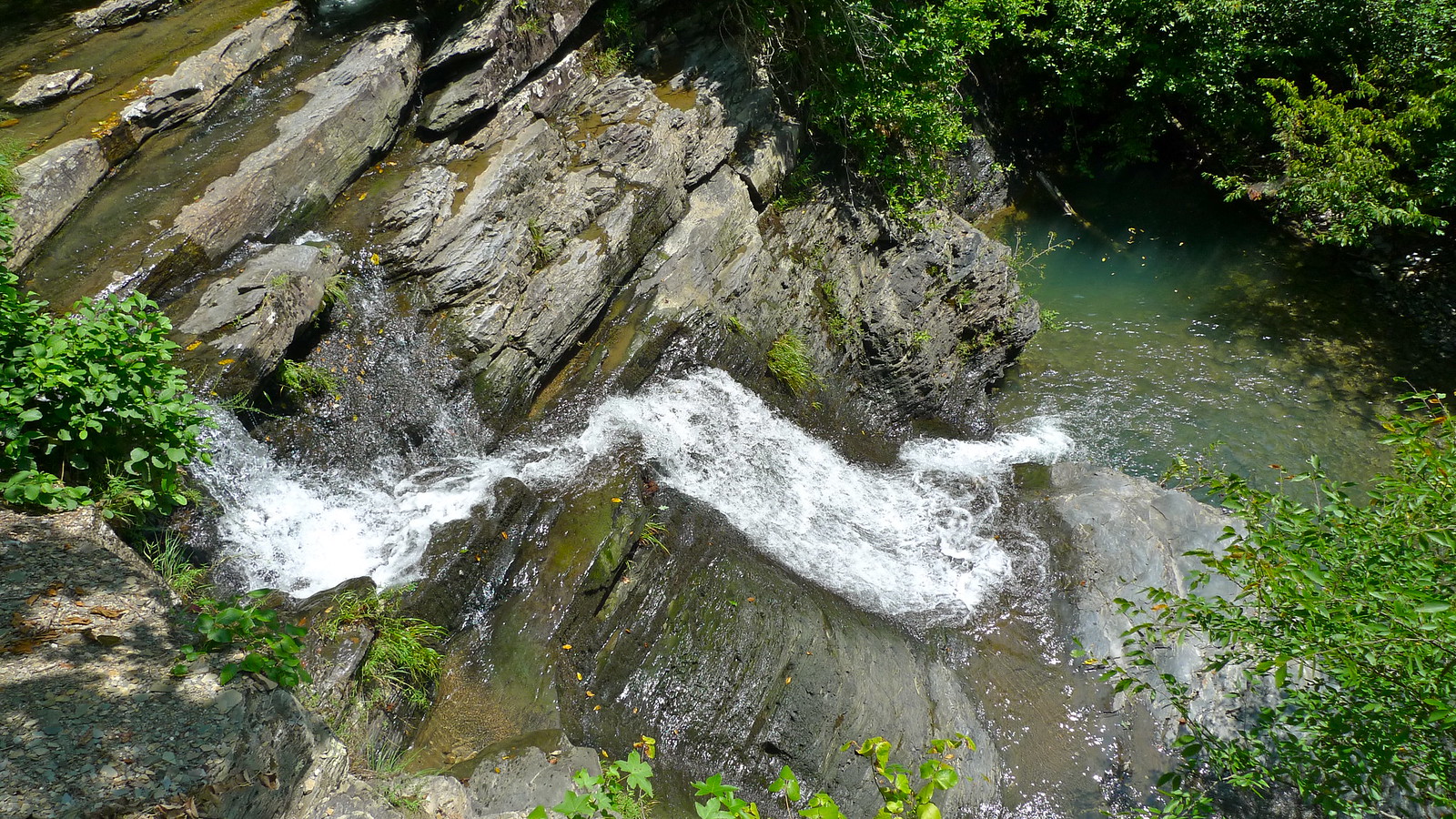
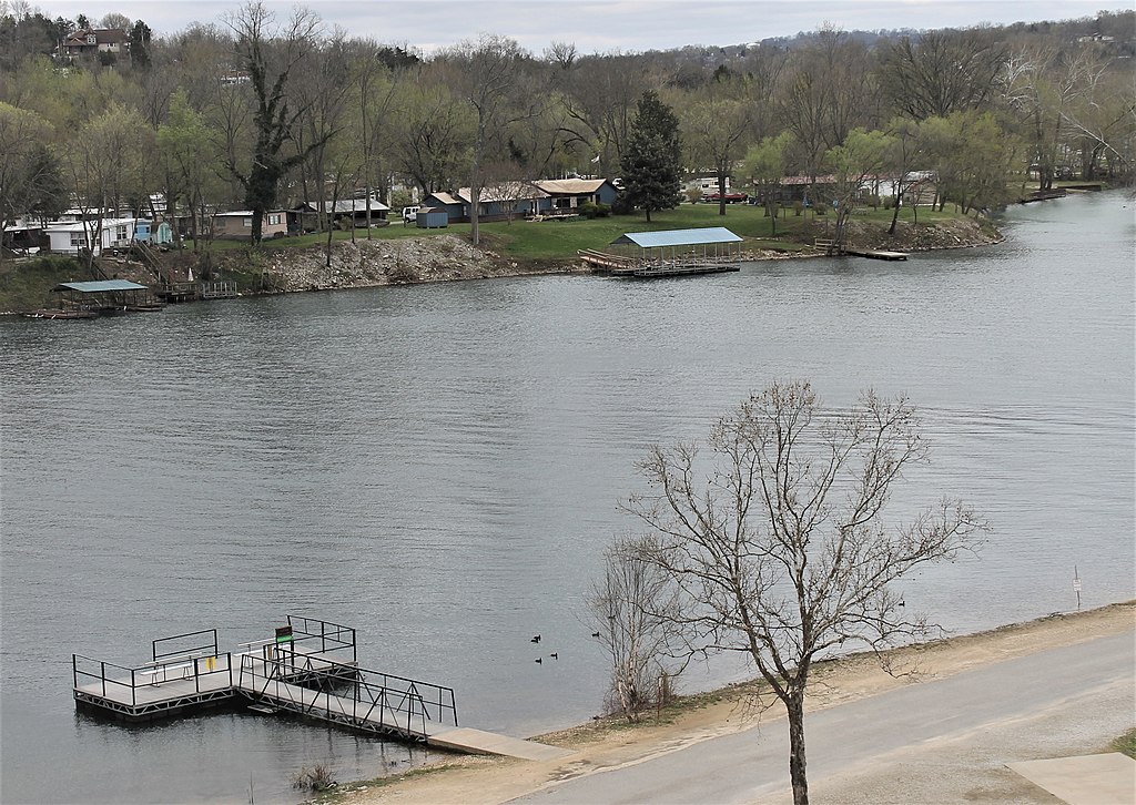
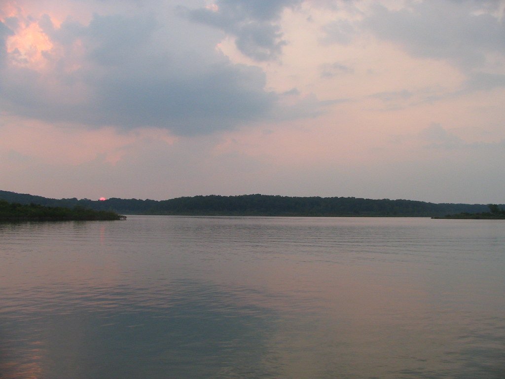
The North Fork River, also known as the North Fork of the White River, is a scenic Ozark stream that flows for approximately 109 miles through southern Missouri before joining the White River in northern Arkansas. Originating near Mountain Grove, Missouri, the river flows south through Mark Twain National Forest before entering Arkansas and emptying into Norfork Lake. This spring-fed river offers excellent paddling opportunities, with clear, cool waters and beautiful Ozark scenery. The most popular sections for floating are in Missouri, from Twin Bridges to Norfork Lake. Difficulty ranges from Class I to II, making it suitable for beginners to intermediate paddlers. The river features occasional riffles and small rapids, with The Falls near River of Life Farm being a notable Class II drop.
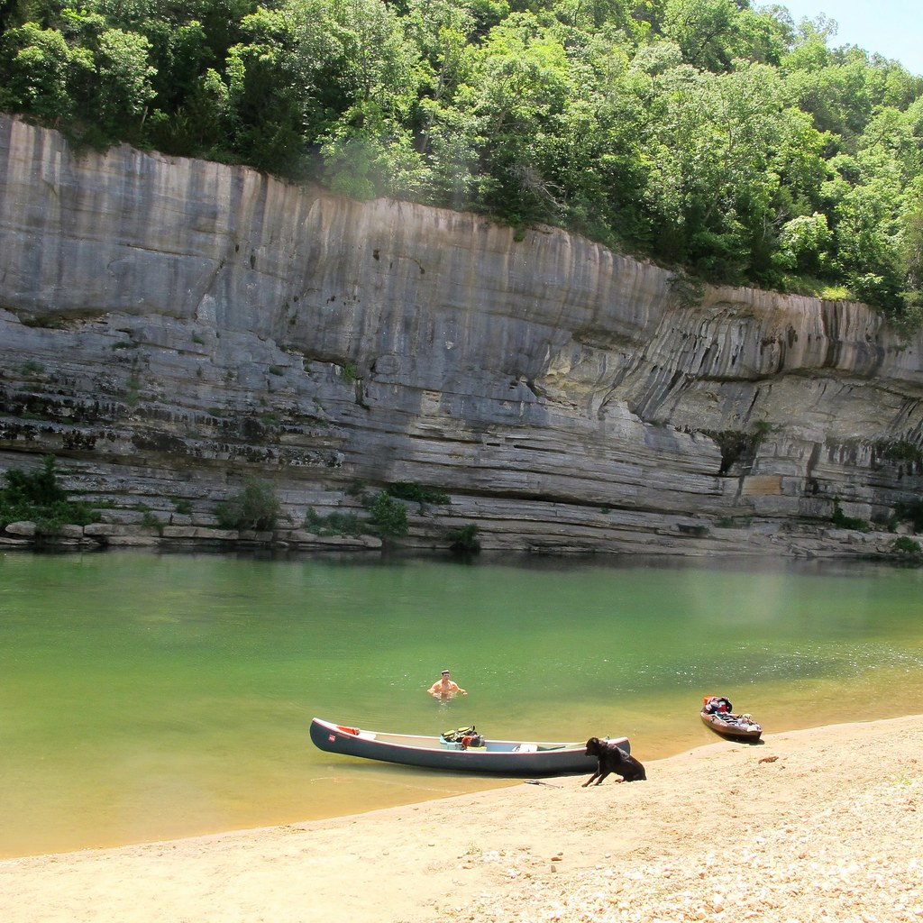
Spring and early summer are ideal paddling seasons when water levels are highest, though the river's spring-fed nature allows for year-round floating in many sections. Fall colors provide a spectacular backdrop for autumn trips. The North Fork is renowned for its excellent trout fishing, with rainbow and brown trout abundant in its waters. Key landmarks include Twin Bridges, Hammond Mill, Blair Bridge, and Dawt Mill - a historic gristmill site now offering lodging and float trips. The river passes through forested hills, past limestone bluffs, and by numerous cold springs feeding into its flow. Wildlife like bald eagles, otters, and herons are commonly spotted.
Popular access points include: - Twin Bridges (near West Plains, MO) - Hammond Access/North Fork Recreation Area - Blair Bridge Access - Dawt Mill - Tecumseh (near MO/AR border)
The North Fork played a significant role in early Ozark settlement, powering gristmills and sawmills. Today, it's an important recreational resource, drawing paddlers, anglers, and nature enthusiasts from across the region.
Safety considerations include watching for submerged logs and branches, especially after high water events. Life jackets are required by law. Multi-day trips are possible, with numerous campgrounds along the river like River of Life Farm and Sunburst Ranch offering convenient lodging options. With its clear waters, scenic beauty, and range of paddling experiences, the North Fork River provides an excellent introduction to Ozark floating for paddlers of various skill levels.
Curated routes
Hand-picked by the PaddleWays team, with put-ins, take-outs, paddle times and the hazards along the way.
RouteClass I–II
RouteClass II
Hazards
No paddler has reported a hazard here yet, so these are the dams, falls and big rapids on our map. Hazards change with flows and storms, so check them before you launch.
From the community
Real trips from PaddleWays paddlers: which route they ran, how the flows were, and what to watch for.
Loading trip reports
Jake G.
571 cfs at Tecumseh
Blair Bridge Boat Ramp to Dawt Mill
Leslie D.
695 cfs at Tecumseh
Backwoods R.
494 cfs at Tecumseh
Topaz Mill to River Ranch
See exactly where the public can get on and off the river. Launch points and boat ramps are paired with PaddleWays' public land data so you know where you can legally land.
Public shoreline
52%of the river's shoreline is public
Flows, weather and a route-by-route verdict, so you know which stretch of the North Fork River is worth paddling today.
All Flow Stations
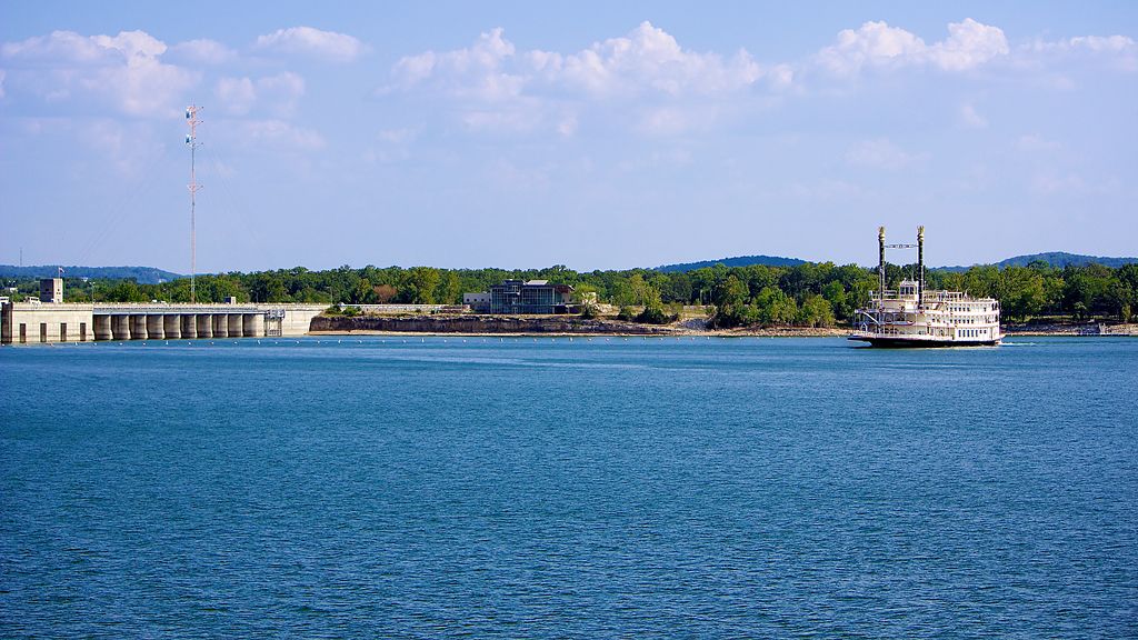
Scheduled releases and generation forecasts from the dams on North Fork River.
North Fork River · Below Norfork Dam · Southwestern Power Administration
Generating until 9:00 PM CST, up to 37 MW
Forecast updated today at 7:23 PM CST. Schedules can change, so check the operator's page before you go.
Live flows, marked hazards and fresh trip reports from paddlers who were just on the water, all in one place.





Every user gets free access to launch points, boat ramps, and public property parcels.
Loading popular cities...
PaddleWays gives you everything you need to plan smarter, paddle better, and own every trip from first launch to takeout.