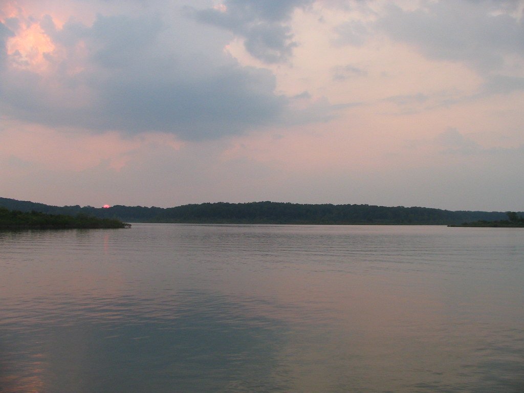
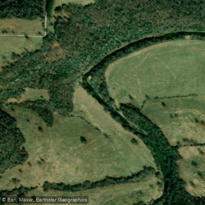
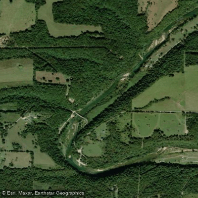
The White River is a waterway that flows through the heart of the Ozarks, offering paddlers a wide range of experiences across Missouri and Arkansas. This spring-fed river system provides year-round paddling opportunities, from calm flatwater sections to more challenging whitewater runs.
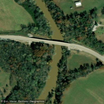
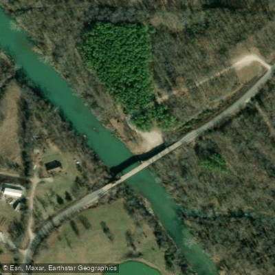
In Missouri, the North Fork of the White River is particularly popular among paddlers. Starting near Mountain Grove and flowing south for about 50 miles to Norfork Lake, this stretch offers Class I-II rapids with occasional Class III sections during high water. The most frequented put-ins are at Highway 76 bridge and Twin Bridges, with popular take-outs at Tecumseh and Blair Bridge.
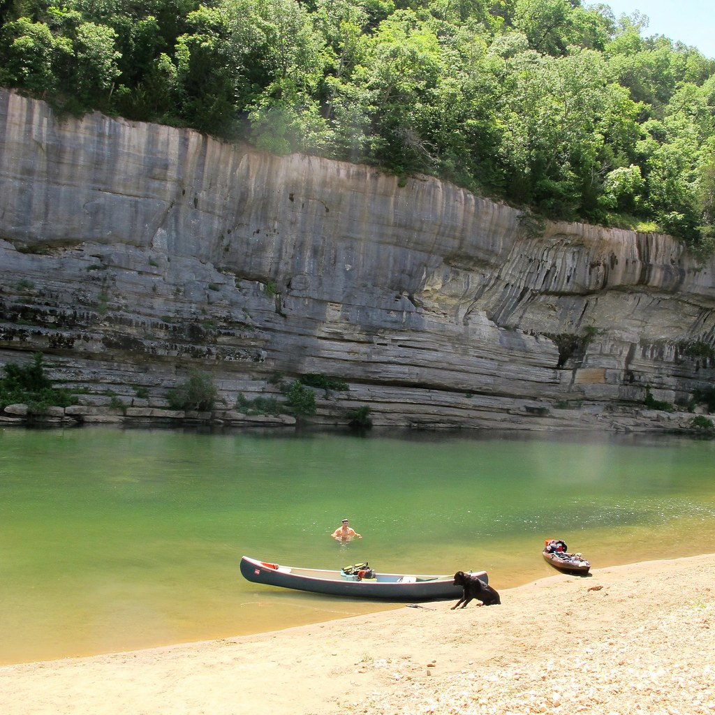
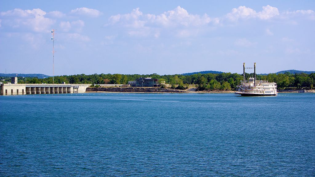
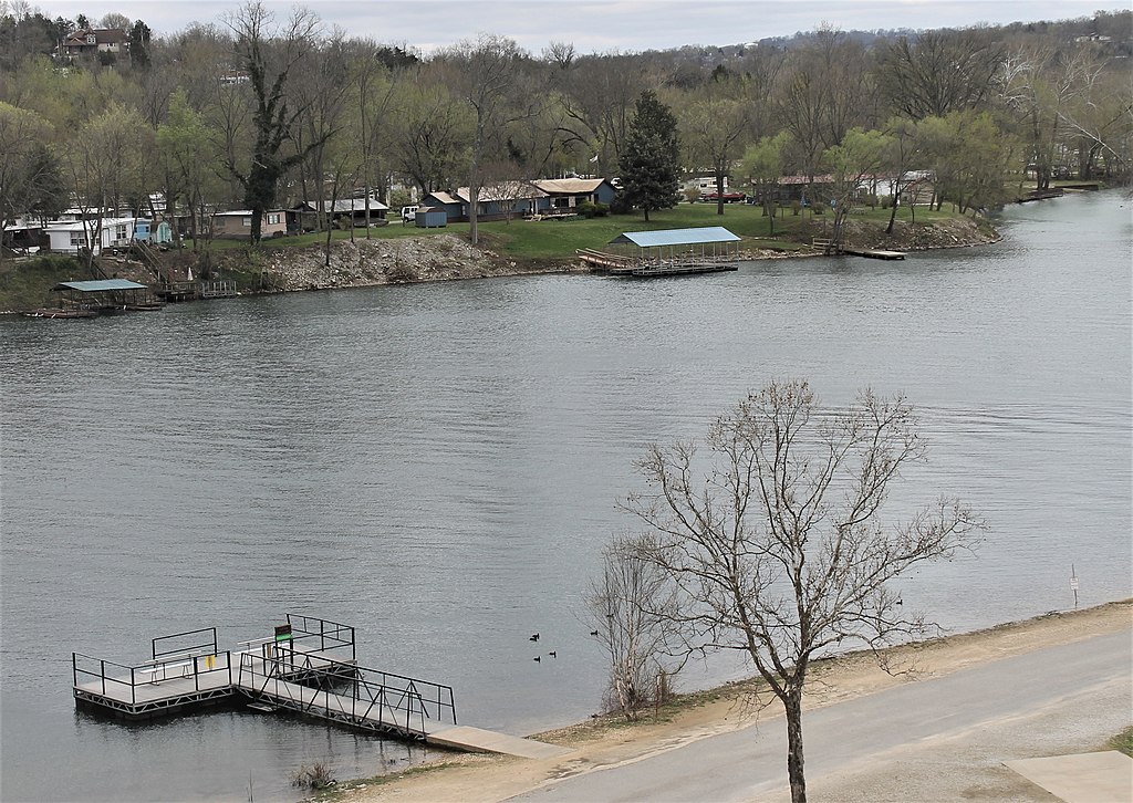
The river here flows through picturesque Ozark scenery, characterized by limestone bluffs, dense forests, and crystal-clear spring-fed waters. As the White River continues into Arkansas, it transforms into a world-renowned trout fishing destination below Bull Shoals Dam. The section from Bull Shoals Dam to Cotter is a 15.8-mile stretch of mostly flatwater, perfect for novice paddlers and anglers alike.
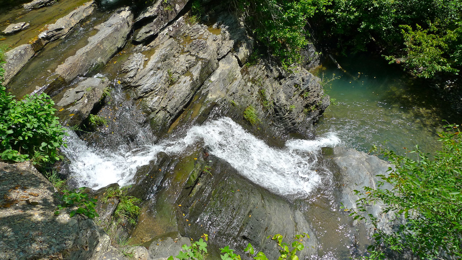
Further downstream, the river offers longer trips, such as the 37-mile section from Pettigrew to Elkins, which provides a mix of Class I-II rapids and scenic rural landscapes. The river's difficulty varies greatly depending on the section and water levels. While many stretches are suitable for beginners, some areas, particularly in the upper reaches and during high water, can challenge even experienced paddlers. It's essential to check current conditions and choose a section appropriate to your skill level.
Spring and fall are generally the best seasons for paddling the White River, offering comfortable temperatures and reliable water levels. Summer can be enjoyable as well, especially on the cooler, spring-fed sections, but be prepared for potential low water conditions in some areas.
The White River ecosystem is rich in biodiversity. Paddlers may spot bald eagles, ospreys, and great blue herons along the banks. The river is home to various fish species, including rainbow and brown trout in the tailwaters below dams, as well as smallmouth bass in the upper reaches.
Notable landmarks include the confluence with the Buffalo National River, various springs such as Althea Spring, and the picturesque town of Cotter, known as the "Trout Capital of the USA". Other access points and nearby towns include Mountain Home, Flippin, and Norfork in Arkansas, and West Plains in Missouri.
Historically, the White River played a crucial role in the development of the Ozark region, serving as a transportation route and power source for early settlers. Today, it remains an important economic driver through recreation and tourism.
Safety considerations include being aware of rapidly changing water levels due to dam releases, especially in the tailwater sections. Always wear a life jacket and be cautious of strainers and submerged obstacles, particularly in the upper, more natural sections of the river.
For those seeking a multi-day adventure, a popular option is the 49.5-mile trip from Highway 76 bridge to Tecumseh in Missouri, typically done over 2-3 days. In Arkansas, paddlers can string together longer trips using the various access points between Bull Shoals Dam and Buffalo City.
Whether you're seeking a peaceful float through serene Ozark landscapes or a more adventurous whitewater experience, the White River offers a paddling opportunity for every skill level and interest, making it a true gem of the American Midwest.