Curated by PaddleWays
RouteFlatwater
- Distance
- 3.8 mi
- Paddle time
- ~1.5 hrs
- Put-in → take-out
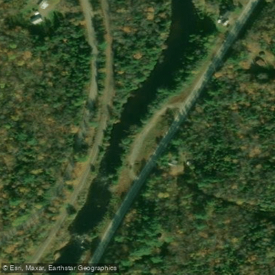
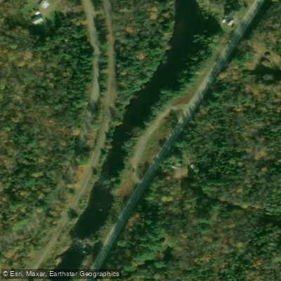
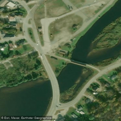
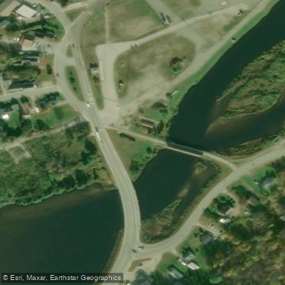
- Emerson Road Access → Groveton Covered Bridge Boat Ramp
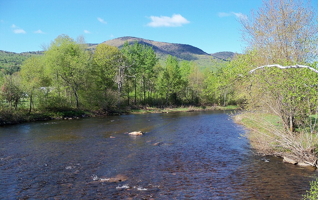
The Upper Ammonoosuc River is a scenic waterway in northern New Hampshire, originating in the White Mountains and flowing westward for approximately 35 miles before joining the Connecticut River near Groveton. This river system drains a watershed of about 252 square miles. Paddling opportunities on the Upper Ammonoosuc range from calm flatwater sections to more challenging Class I-II rapids, making it suitable for a variety of skill levels.
The river can be divided into several distinct sections, each offering unique experiences. The stretch from West Milan to Stark is particularly popular, featuring a mix of flatwater and quickwater over its 10-mile course. The overall difficulty of the Upper Ammonoosuc varies from flatwater to Class II, with some sections being ideal for beginners and others requiring more experience. Paddlers should be prepared for occasional swift water, particularly around braided islands and near Red Dam.
Spring typically offers the highest water levels due to snowmelt and rainfall, providing the best conditions for paddling. However, the river is generally navigable from late spring through early fall, with summer offering more relaxed water levels suitable for family trips.
The river corridor supports a diverse ecosystem, with opportunities to spot wildlife such as brook trout, bald eagles, and moose. The surrounding landscape is characterized by northern forest, providing a picturesque backdrop for paddling adventures.
Key landmarks along the Upper Ammonoosuc include the Wassau Dam, Red Dam, and the covered bridge near Stark. The river passes through small New Hampshire towns like Milan, Stark, and Groveton, each offering a glimpse into the region's rural character.
Multiple access points make the Upper Ammonoosuc ideal for both day trips and multi-day expeditions. Popular put-ins include Gord's Corner Store in West Milan and Ray's Corner Country Store in Milan. Take-outs can be found at the Stark Access and near Groveton.
Historically, the river played a role in the region's logging industry, and remnants of this heritage can still be seen along its banks. Today, it's an important recreational resource, attracting paddlers, anglers, and nature enthusiasts.
Safety considerations include being prepared for sudden weather changes, wearing appropriate safety gear, and being aware of dam locations for necessary portages. Paddlers should also be mindful of potential higher flows in spring.
For those seeking a multi-day adventure, the Northern Forest Canoe Trail has established several riverside campsites, including Cordwell Campsite, accessible only by water. These sites allow paddlers to immerse themselves in the serene wilderness of northern New Hampshire while exploring the full length of this captivating river.
Curated routes
Hand-picked by the PaddleWays team, with put-ins, take-outs, paddle times and the hazards along the way.
RouteFlatwater
RouteFlatwater
RouteClass I–II
Hazards
No paddler has reported a hazard here yet, so these are the dams, falls and big rapids on our map. Hazards change with flows and storms, so check them before you launch.
From the community
Nobody has shared a trip on Upper Ammonoosuc River yet. Paddle it, then tell the next paddler how it went.
See exactly where the public can get on and off the river. Launch points and boat ramps are paired with PaddleWays' public land data so you know where you can legally land.
Public shoreline
42%of the river's shoreline is public
Most of the riverbank is private. Launch, land and camp only at public access points.
Flows, weather and a route-by-route verdict, so you know which stretch of the Upper Ammonoosuc River is worth paddling today.
Live flows, marked hazards and fresh trip reports from paddlers who were just on the water, all in one place.





Every user gets free access to launch points, boat ramps, and public property parcels.

Loading popular cities...
PaddleWays gives you everything you need to plan smarter, paddle better, and own every trip from first launch to takeout.