Beaver Slough / Clastskanie River
- Saltwater
- Tidal river
Beaver Slough / Clastskanie River
- Saltwater
- Tidal river
- Sq. miles
- 0
- Boat Ramps
- 0
- Access Points
- 1
- Campsites
- 0
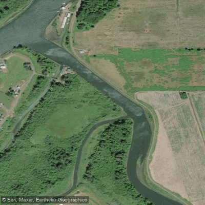
The Beaver Slough / Clatskanie River system in Oregon is a tidal river network offering sheltered, flatwater paddling with direct access to the Columbia River. The primary access point is the Beaver Boat Ramp and Park in downtown Clatskanie, located at river mile 1 of the Clatskanie River. This full-service launch features paved parking, boarding floats, restrooms, and barbecue grills, with a daily parking fee. From this ramp, it is a 2.5-mile flatwater paddle downstream to the confluence with the Columbia River. The system connects to the Westport Slough to the west, creating a potential sheltered route paralleling over seven miles of the Columbia. Passage between the Clatskanie River and Westport Slough is possible via a specific culvert, but this is highly tide-dependent; one account notes attempting passage at a tide height of +6.7 feet, while another account suggested it may be passable at low tide, potentially requiring a portage. An alternative ADA kayak launch exists at Westport, Oregon, for accessing Westport Slough. The entire area is tidally influenced, and paddlers must plan trips around tide times and heights, which can be significant. For example, a trip plan referenced a low tide of -1.74 feet and a subsequent high of 5.12 feet at a nearby station. Paddling on the Columbia River itself introduces exposure to wind, fetch, and commercial and recreational boat traffic. The sheltered sloughs and river sections are characterized by rural residential, agricultural, and timber land, with banks that can be overgrown. Wildlife includes salmonids such as Coho Salmon and Steelhead.
Water access, boat ramps & amenities
Learn how to get on Beaver Slough / Clastskanie River. Uncover great paddling access points, boat ramps, and all the facilities you need for an unforgettable day on the water. Some locations shown may border or include private property. Always check property boundaries and applicable regulations before visiting. PaddleWays's Public & Private Land layer can help you plan your access with confidence.
Paddle smarter with real-time insights
Whether you're en route and conditions shift or you're looking for the best spot based on current flows, we enable you to make informed decisions on the fly.








Find Places to Paddle

Over 400,000 Places to Paddle
Every user gets free access to launch points, boat ramps, and public property parcels.


Tides, wind & water conditions (10 day forecast)
On open water, wind and tide matter as much as the weather. See the best times to paddle Beaver Slough / Clastskanie River and check the marine forecast before you launch.
Loading tide predictions…
Paddling near Beaver Slough / Clastskanie River

Columbia River
Cowlitz River
Dibblees Beach
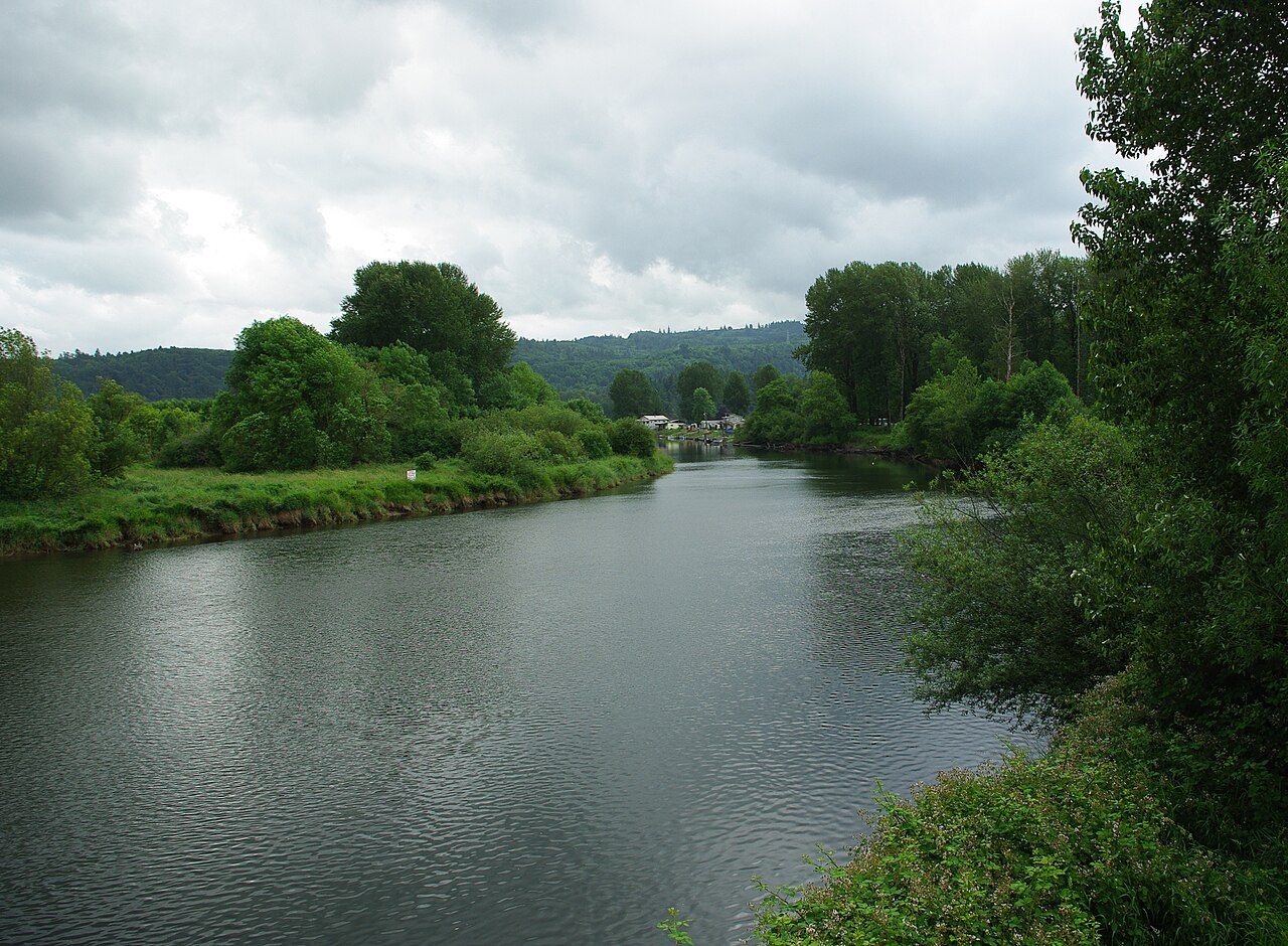
Kalama River
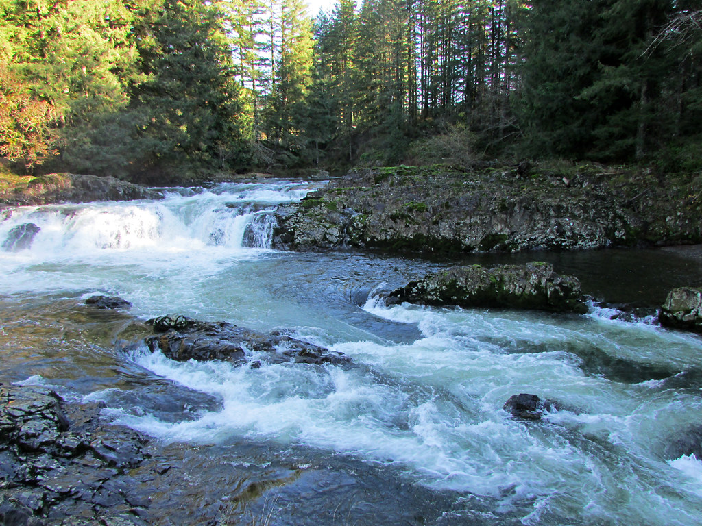
Lewis River
Coal Creek Slough
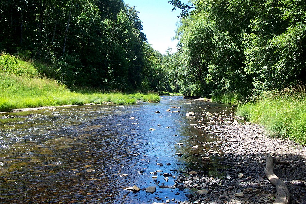
Nehalem River
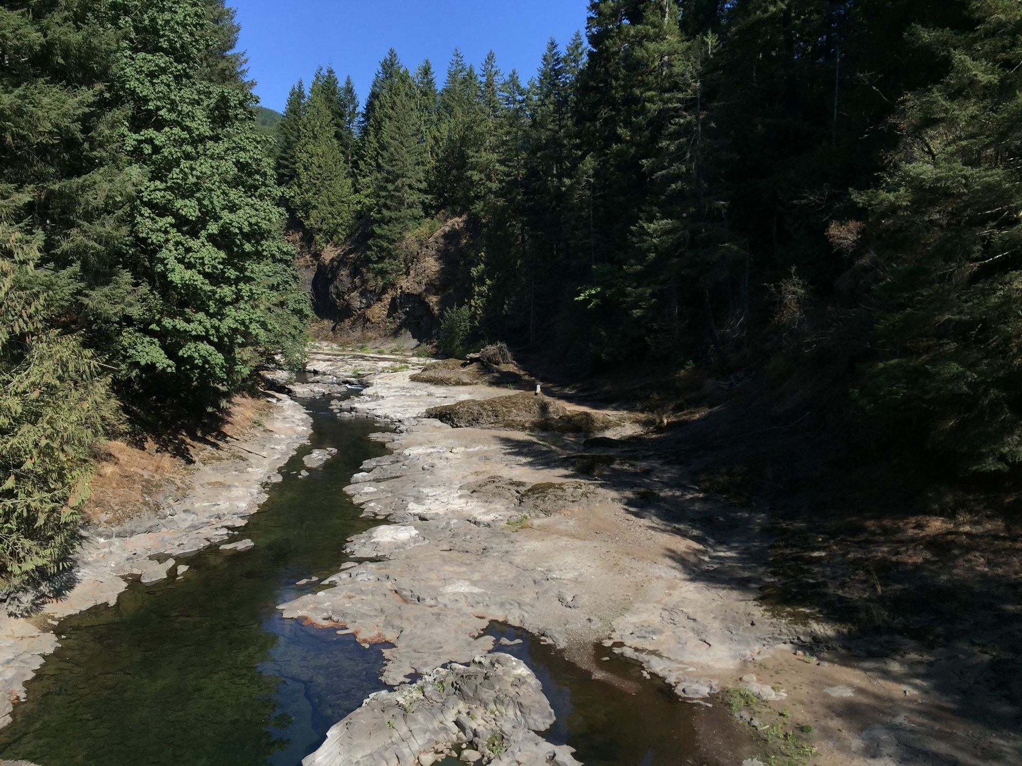
Chehalis River
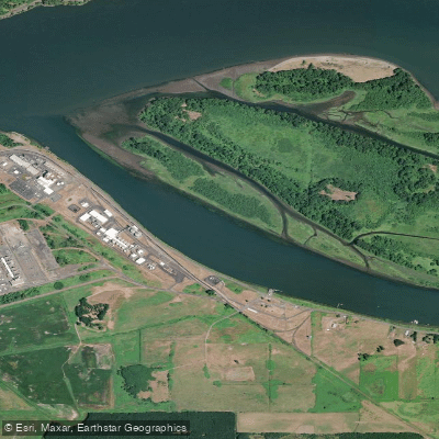
Bradbury Slough
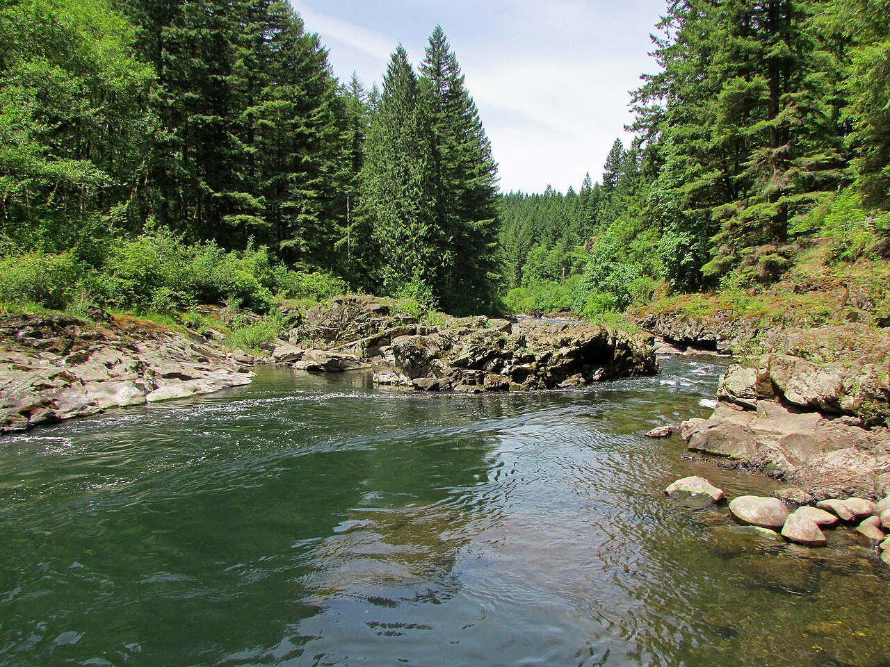
East Fork Lewis River
Explore Oregon waters
Top paddling waters
Popular Cities
Loading popular cities...
Explore near Beaver Slough / Clastskanie River
Access points
Nearby waters
More in Oregon

Smarter Paddling Starts in the App.
Paddleways gives you everything you need to plan smarter, paddle better, and own every trip from first launch to takeout.