Curated by PaddleWays
RouteFlatwater
- Distance
- 2.8 mi
- Paddle time
- 2 hrs
- Put-in → take-out
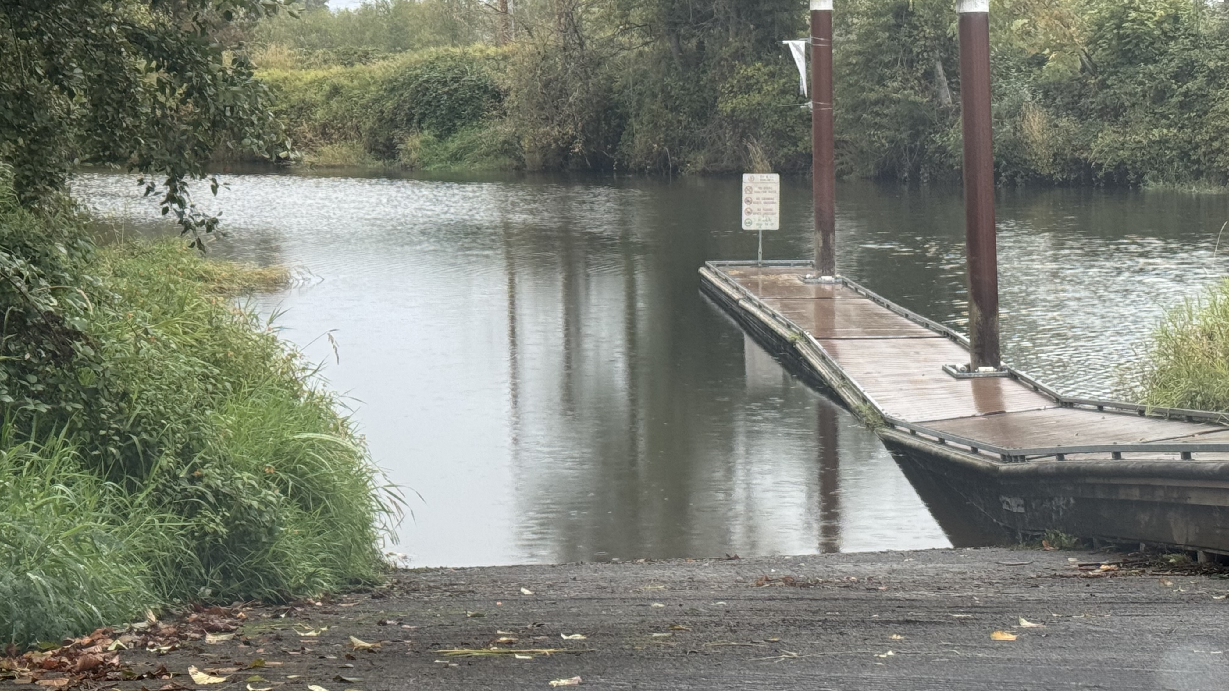
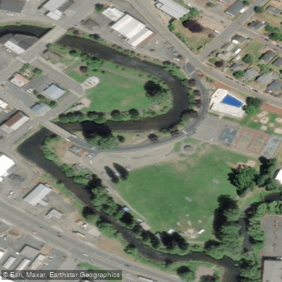
- Beaver Park Boat Ramp → Columbia River Access
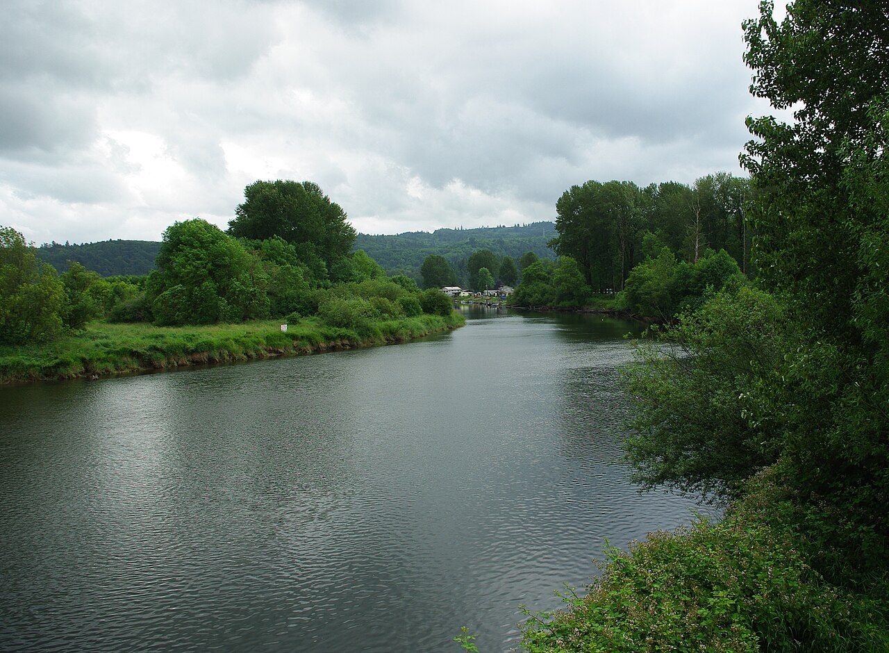
The Clatskanie River is a small but significant waterway in northwestern Oregon, originating in the Coast Range mountains and flowing generally northward for approximately 30 miles before emptying into the Columbia River near the town of Clatskanie. This river system drains a watershed of about 90 square miles, characterized by forested hills and agricultural lowlands.
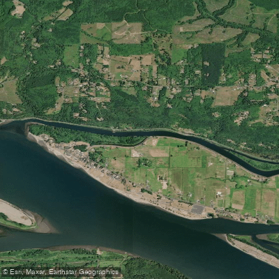
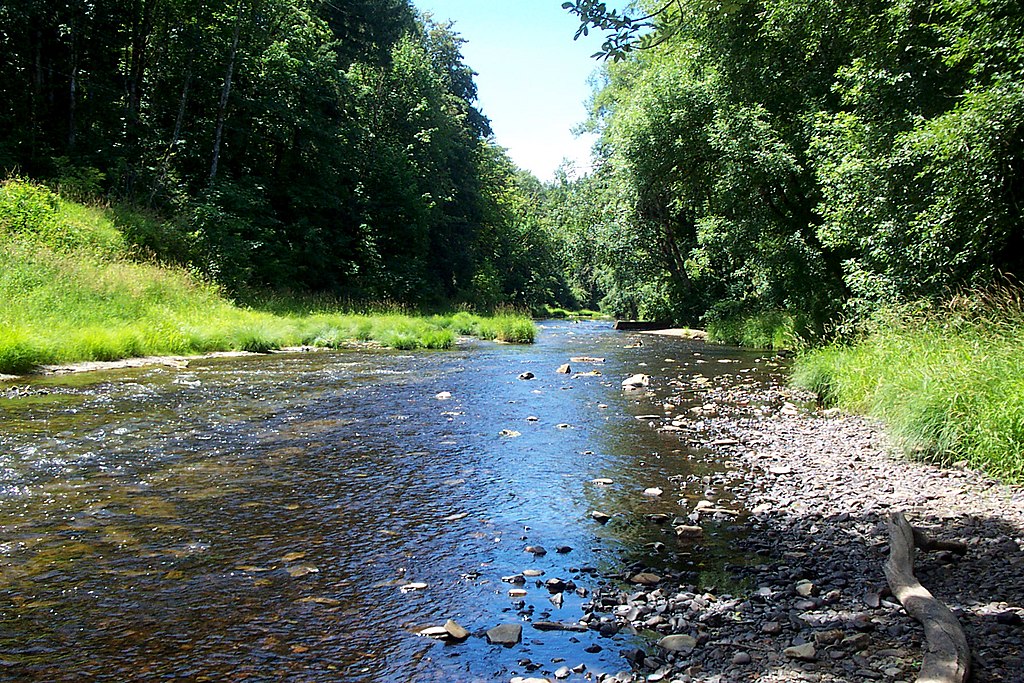
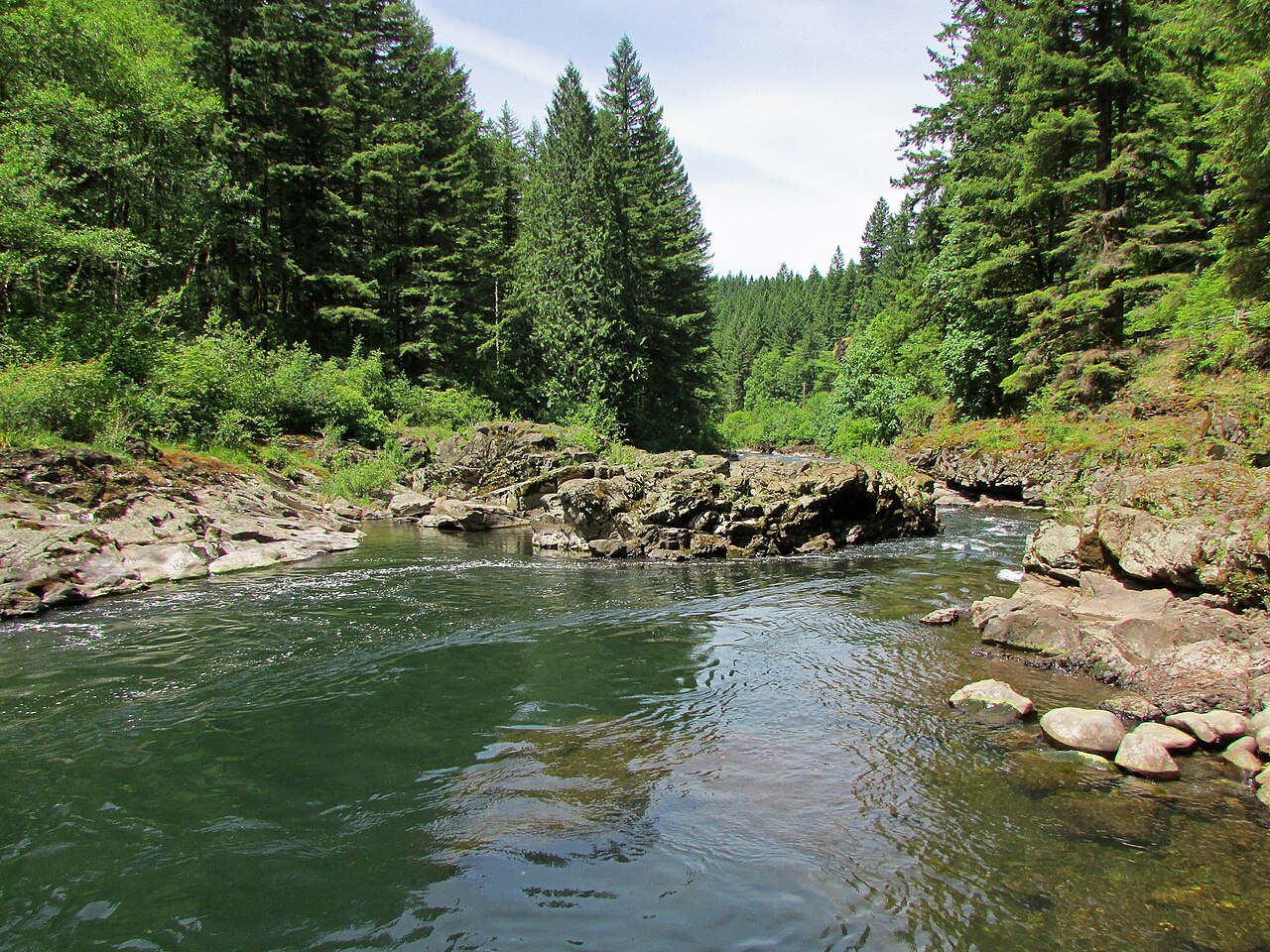
For paddlers, the Clatskanie offers several intriguing sections, each with its own character. The most popular stretch begins at the Beaver Boat Ramp in Clatskanie, providing a pleasant 2.5-mile flatwater paddle to the Columbia River confluence. This section is ideal for beginners and families, offering scenic views of rural Oregon landscapes and opportunities to spot local wildlife such as herons, osprey, and occasionally river otters.
A unique feature of the Clatskanie River is its connection to Westport Slough through an arch culvert installed by NOAA Fisheries. This engineering project, which replaced a former dirt plug, has improved fish passage and water flow. Adventurous paddlers can explore this area, though caution is advised due to potential technical challenges at the culvert, especially during low tides.
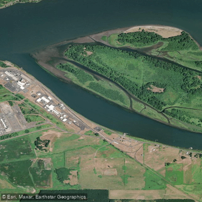
For those seeking a shorter trip, the Blackberry Launch provides an alternative put-in point closer to the Columbia, offering a quick one-mile paddle to the river's mouth. This option is particularly appealing for paddlers interested in exploring the broader Columbia River system or nearby features like Wallace Island.
The Clatskanie River's difficulty ranges from flatwater to mild Class I, making it suitable for paddlers of various skill levels. However, those venturing near the Columbia confluence should be aware of potential tidal influences and increased boat traffic. Paddling is enjoyable year-round, but spring and early summer often provide optimal water levels and pleasant weather. Fall offers beautiful foliage along the riverbanks, while winter paddling requires more preparation for colder conditions.
Access to the river is convenient, with the primary put-in at Beaver Boat Ramp located at the intersection of US 30 and Highway 47 in Clatskanie. This small town serves as the main gateway to the river, offering necessary amenities for day-trippers.
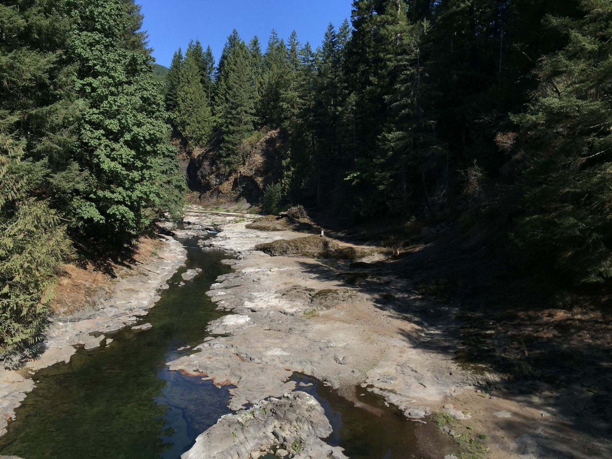
Historically, the Clatskanie River played a role in the region's logging industry, and remnants of this heritage can still be observed along its banks. Today, the river serves as an important ecological corridor, supporting various fish species, including salmon runs. Paddlers should be aware of potential log hazards, especially after storms, and always check current conditions before launching.
While primarily used for day trips, the river's proximity to the Columbia offers opportunities for multi-day adventures for those willing to plan carefully and obtain necessary permissions for camping.
Curated routes
Hand-picked by the PaddleWays team, with put-ins, take-outs, paddle times and the hazards along the way.
RouteFlatwater
Hazards
No paddler has reported a hazard here yet, so these are the dams, falls and big rapids on our map. Hazards change with flows and storms, so check them before you launch.
From the community
Nobody has shared a trip on Clatskanie River yet. Paddle it, then tell the next paddler how it went.
See exactly where the public can get on and off the river. Launch points and boat ramps are paired with PaddleWays' public land data so you know where you can legally land.
Public shoreline
3%of the river's shoreline is public
Most of the riverbank is private. Launch, land and camp only at public access points.
Flows, weather and a route-by-route verdict, so you know which stretch of the Clatskanie River is worth paddling today.
No forecast data available.
Live flows, marked hazards and fresh trip reports from paddlers who were just on the water, all in one place.





Every user gets free access to launch points, boat ramps, and public property parcels.
Loading popular cities...
PaddleWays gives you everything you need to plan smarter, paddle better, and own every trip from first launch to takeout.