Hingham Harbor
- Saltwater
- Harbor
Hingham Harbor
- Saltwater
- Harbor
- Sq. miles
- 0.9
- Boat Ramps
- 2
- Access Points
- 0
- Campsites
- 0
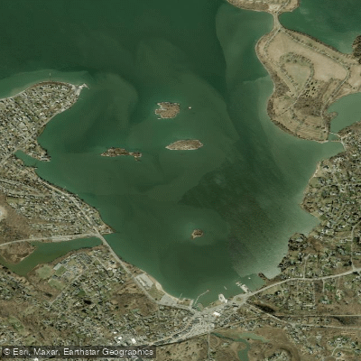
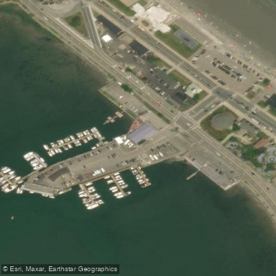
Hingham Harbor is a protected bay in Hingham, Massachusetts, providing a scenic and versatile launch point for exploring Hingham Bay and its islands. The primary public access is the Hingham Town Ramp and adjacent beach on Otis Street (Route 3A), located next to the Bathing Beach. Parking is open to the public with no residency restrictions, though it is advised to avoid trailer spots and arrive early for availability. There are no reliable public restrooms at the launch; the beachhouse has limited hours and is closed off-season. Launching is critically tide-dependent, as the harbor becomes a large mudflat at low tide. The best time to put in or take out is within an hour or so of high tide, or between high- and mid-tide, to avoid deep, sticky mud at the beach launch area. A new boat ramp and dock have been constructed, but launching from the small beach to its right is now awkward; paddlers are advised to use the beach directly in front of the parking area.
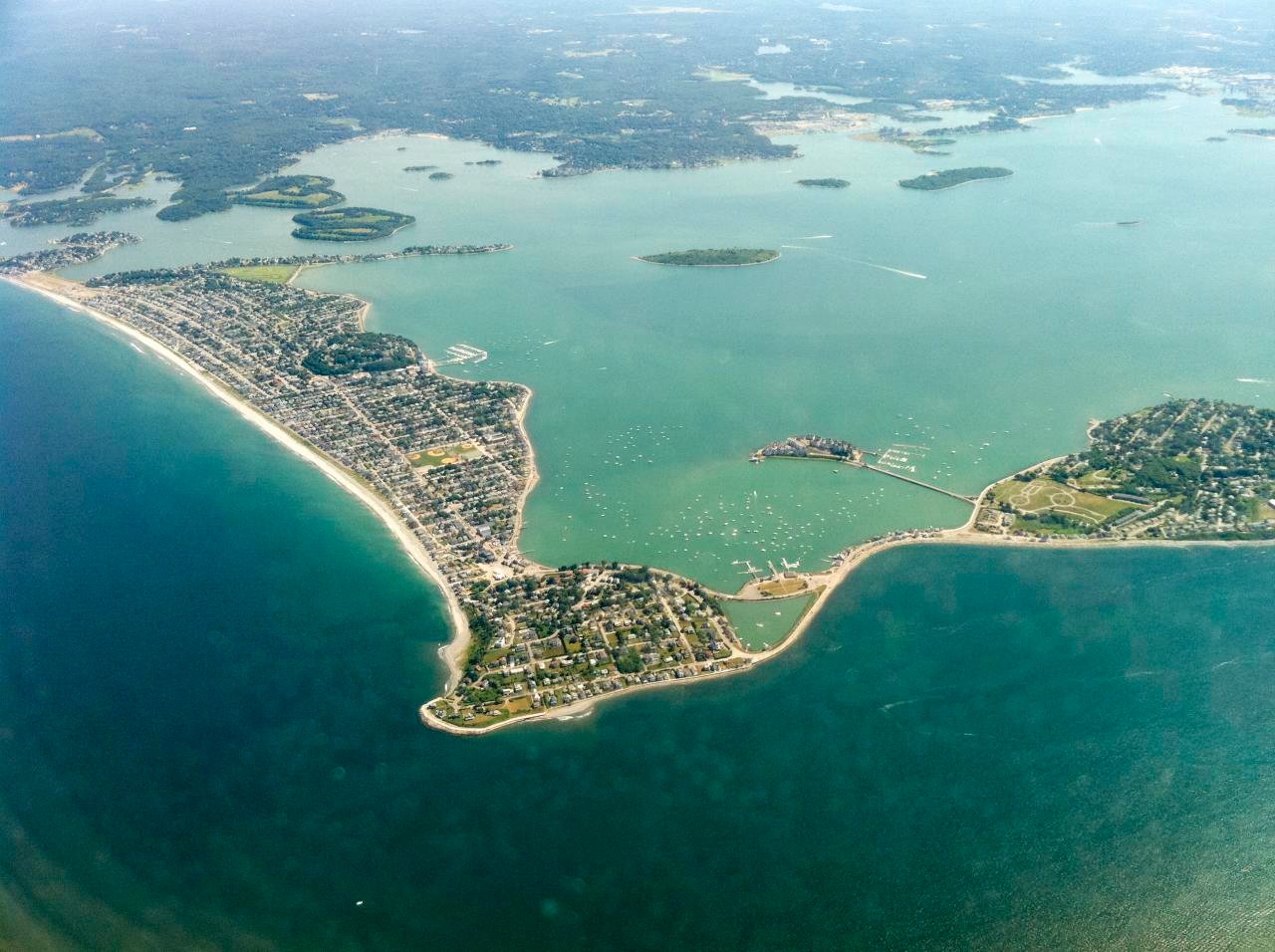
From the launch, a short paddle leads to the small Hingham Harbor Islands—Button, Ragged, Sarah, and Langlee—which are part of the Boston Harbor Islands National Park and offer potential picnic stops. Continuing past the Hingham Yacht Club and its mooring field, paddlers reach Crow Point, the exit from the protected harbor. Beyond this point, crossings to destinations like Bumpkin, Grape, and Slate Islands are less protected and can be exposed to stronger winds, chop, and swells, requiring suitable skill levels. These crossings involve channel areas with significant seasonal motorboat traffic, necessitating caution, crossing as a group, and moving quickly. Other notable destinations accessible from the harbor include World's End and the Weir River. The overall experience features views of coastal homes, fishing vessels, and active bird rookeries on the islands, creating a symphony of bird sounds. The harbor's character shifts from a calm, enclosed bay to more open, dynamic conditions when venturing into Hingham Bay.
Water access, boat ramps & amenities
Learn how to get on Hingham Harbor. Uncover great paddling access points, boat ramps, and all the facilities you need for an unforgettable day on the water. Some locations shown may border or include private property. Always check property boundaries and applicable regulations before visiting. PaddleWays's Public & Private Land layer can help you plan your access with confidence.
Paddle smarter with real-time insights
Whether you're en route and conditions shift or you're looking for the best spot based on current flows, we enable you to make informed decisions on the fly.








Find Places to Paddle

Over 400,000 Places to Paddle
Every user gets free access to launch points, boat ramps, and public property parcels.


Tides, wind & water conditions (10 day forecast)
On open water, wind and tide matter as much as the weather. See the best times to paddle Hingham Harbor and check the marine forecast before you launch.
Loading tide predictions…
Paddling near Hingham Harbor

Taunton River

Charles River

Massachusetts Bay

Concord River

Merrimack River

Broad Sound

Sudbury River

Assabet River
Hingham Bay
Ipswich River
Explore Massachusetts waters
Top paddling waters
Popular Cities
Loading popular cities...
Explore near Hingham Harbor
Access points
Nearby waters
More in Massachusetts

Smarter Paddling Starts in the App.
Paddleways gives you everything you need to plan smarter, paddle better, and own every trip from first launch to takeout.