Weymouth Back River
- Saltwater
- Tidal river
Weymouth Back River
- Saltwater
- Tidal river
- Sq. miles
- 1.1
- Boat Ramps
- 2
- Access Points
- 0
- Campsites
- 0
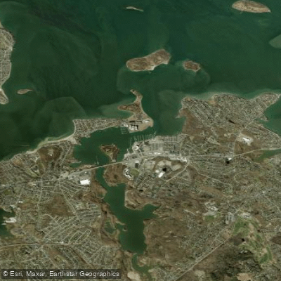
The Weymouth Back River is a tidal river flowing north from Whitman's Pond in Weymouth, Massachusetts, into Hingham Bay, approximately 10 miles south of Boston. It is a designated Area of Critical Environmental Concern, featuring salt marshes and wooded areas that provide habitat for approximately 150 bird species. The river's character changes significantly with the tide, which is a primary planning consideration for paddlers. The lower section near the Route 3A bridge is wide and lake-like, while the river narrows considerably as one paddles upstream towards Jackson Square in Weymouth. Notable sights along the route include the historic ammunition depot buildings in Bare Cove Park on the Hingham side, Great Esker Park on the Weymouth side, and the round tunnel under a railroad bridge near Jackson Square, which has swift water flowing through it. The upstream terminus for paddling is generally considered to be the fish ladder at Herring Brook.
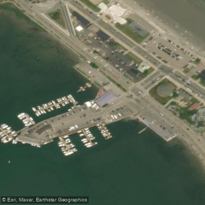
Several public access points serve paddlers. The primary launch at Abigail Adams Park on Route 3A in Weymouth is very accommodating, located in the far left corner of the park. The Joseph F. Carven Sr. State boat ramp, also known as the Thomas Smith Boat Launch at George Lane Beach, offers a concrete ramp with a large parking lot on River Street; seasonal fees or permits are required from May to October, though no fee was charged during one Memorial Day weekend visit. George Lane Beach itself has a dock/float and beach access mat, but the boat ramp is only usable from one hour before to one hour after low tide due to insufficient water at other times. A future planned access point with parking for twelve vehicles is planned for the northern end of a new MBTA train station parking lot. Paddlers should plan their trips around the tidal cycle, aiming to paddle upstream on a rising tide and return with the ebb. Currents can be swift in constricted areas like the railroad tunnel. The river is also used by motorboats, with the South Shore Yacht Club located near the mouth, and paddlers should be mindful of traffic, especially when rounding the club to reach the Route 3A bridge. Wind can create waves on the open, lower sections. The best seasons for paddling are spring, summer, and fall, with vibrant foliage in October. The water is suitable for kayaks, canoes, and stand-up paddleboards, and a typical out-and-back trip from Abigail Adams Park to the fish ladder and back can take approximately two hours.
Water access, boat ramps & amenities
Learn how to get on Weymouth Back River. Uncover great paddling access points, boat ramps, and all the facilities you need for an unforgettable day on the water. Some locations shown may border or include private property. Always check property boundaries and applicable regulations before visiting. PaddleWays's Public & Private Land layer can help you plan your access with confidence.
Paddle smarter with real-time insights
Whether you're en route and conditions shift or you're looking for the best spot based on current flows, we enable you to make informed decisions on the fly.








Find Places to Paddle

Over 400,000 Places to Paddle
Every user gets free access to launch points, boat ramps, and public property parcels.


Tides, wind & water conditions (10 day forecast)
On open water, wind and tide matter as much as the weather. See the best times to paddle Weymouth Back River and check the marine forecast before you launch.
Loading tide predictions…
Paddling near Weymouth Back River

Taunton River

Charles River

Massachusetts Bay

Concord River

Merrimack River

Broad Sound

Sudbury River

Assabet River
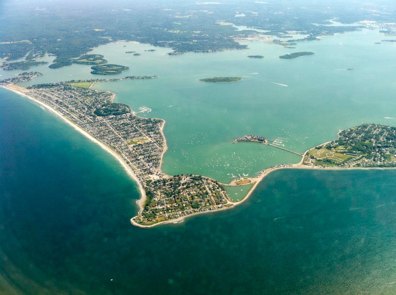
Hingham Bay
Ipswich River
Explore Massachusetts waters
Top paddling waters
Popular Cities
Loading popular cities...
Explore near Weymouth Back River
Access points
- Back River Boat Ramp
- Joseph F. Carven Sr. State Boat Ramp
- Water Monatiquot River Bridge
- Water Swamp River Bridge
- Hwy Pleasant St Bridge
- Water Monatiquot River Bridge
- Tr Red Line Ssh Bridge
- Water Monatiquot River Bridge
- Comb Mbta/csx & Reds Bridge
- Hwy Ramp C (q Adams) Bridge
- Water Monatiquot River Bridge
- I 93 /us1/st3 Bridge
- All 13 spots
Nearby waters
More in Massachusetts

Smarter Paddling Starts in the App.
Paddleways gives you everything you need to plan smarter, paddle better, and own every trip from first launch to takeout.