North Fork Edisto River
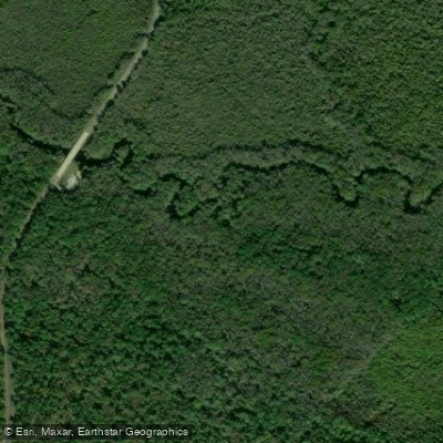
North Fork Edisto River
- Boat Ramps
- 8
- Access Points
- 9
- Campsites
- 0
The North Fork Edisto River is a scenic blackwater river in central South Carolina. It originates in Saluda County and flows southeast for approximately 66 miles before joining the South Fork to form the main stem of the Edisto River near Branchville. The North Fork is part of the larger Edisto River Basin watershed.
Paddlers will find a diverse experience on the North Fork, with sections transitioning from developed areas with backyard docks to more remote, primeval surroundings. The river is mostly narrow and winding, requiring skilled maneuvering around fallen trees and potential portages. Difficulty ranges from flatwater to Class I rapids, with some sections reaching Class II-III, making it suitable for intermediate to experienced paddlers. Popular paddling sections include the 38-mile stretch from Poole's Mill Landing to Glover Street Landing in Orangeburg, and the final 2.2-mile segment from Kill Kare Landing to the confluence with the South Fork.
The river is best paddled in spring and fall when water levels are optimal and temperatures are moderate. The North Fork's ecosystem supports diverse flora and fauna typical of South Carolina's blackwater rivers. Paddlers may encounter cypress and tupelo trees, various wading birds, and occasionally alligators in the lower sections.
Key access points include Poole's Mill Landing near the river's origin, Jones Bridge Landing at mile 6.8, Carson Park at mile 10.2, Slab Landing at mile 17.4, and Glover Street Landing in downtown Orangeburg. The final public access point is Kill Kare Landing, about 2 miles upstream from the confluence.
Historically, the North Fork Edisto River played a role in early settlement and agriculture in the region. Today, it offers a unique paddling experience that showcases the natural beauty of South Carolina's Lowcountry. Safety considerations include being prepared for fallen trees across the channel, checking water levels before trips, and being aware of private property along the banks. Multi-day trips are possible, with primitive camping available at designated sites.
The North Fork Edisto River provides paddlers with a chance to explore a less-developed waterway, offering a serene escape into nature and a glimpse of South Carolina's rich riverine landscapes.
Water access, boat ramps & amenities
Learn how to get on North Fork Edisto River. Uncover great paddling access points, boat ramps, and all the facilities you need for an unforgettable day on the water. Some locations shown may border or include private property. Always check property boundaries and applicable regulations before visiting. PaddleWays's Public & Private Land layer can help you plan your access with confidence.
Paddle smarter with real-time insights
Whether you're en route and conditions shift or you're looking for the best spot based on current flows, we enable you to make informed decisions on the fly.








Find Places to Paddle

Over 400,000 Places to Paddle
Every user gets free access to launch points, boat ramps, and public property parcels.


Water and weather conditions (10 day forecast)
See the best times to paddle North Fork Edisto River and check the forecast before you go.
NORTH FORK EDISTO RIVER AT SC394, ABOVE NORTH, SC
All Flow Stations
Paddling near North Fork Edisto River
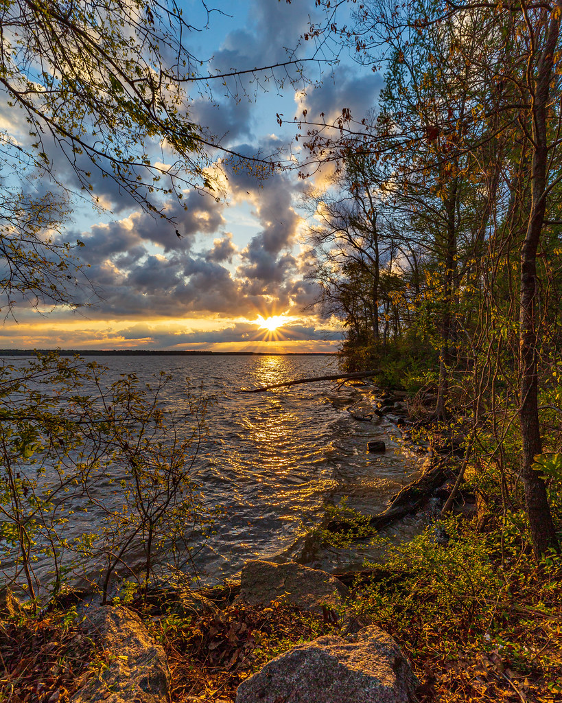
Lake Marion
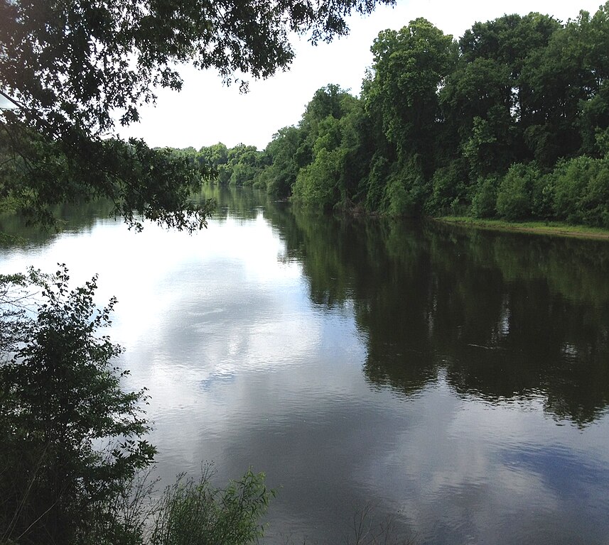
Wateree River

Broad River

Saluda River
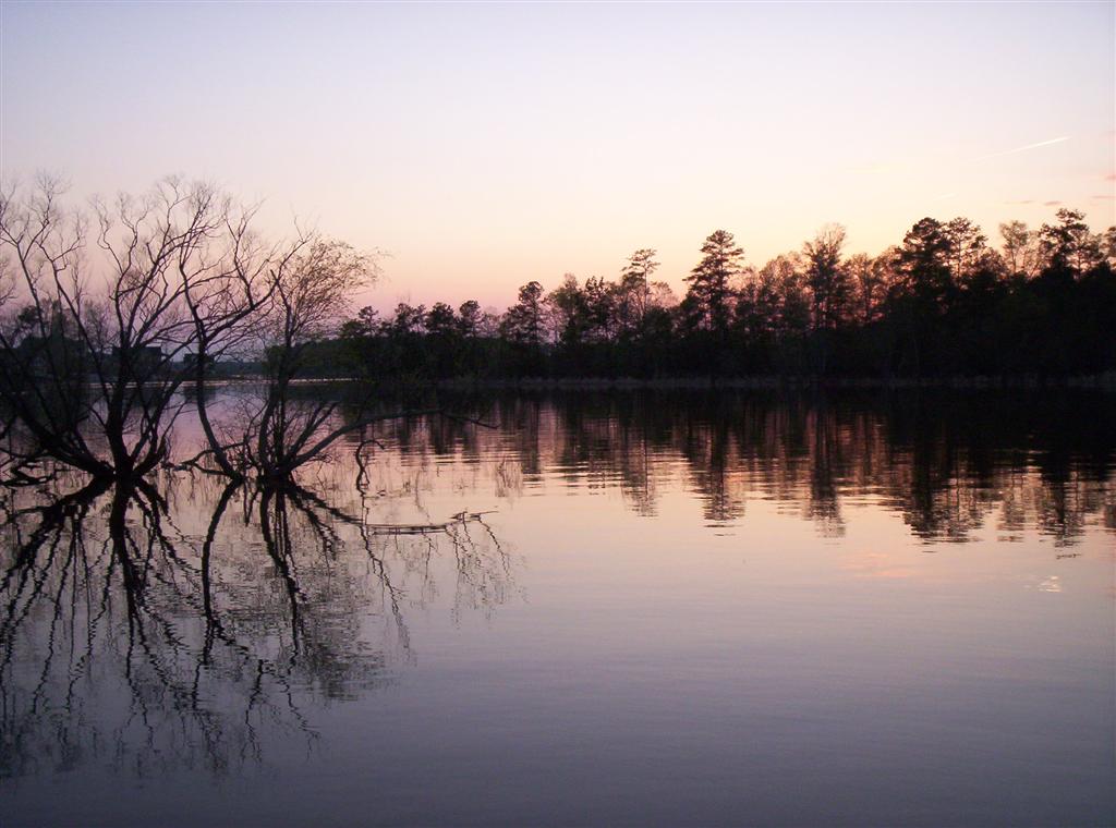
Lake Murray
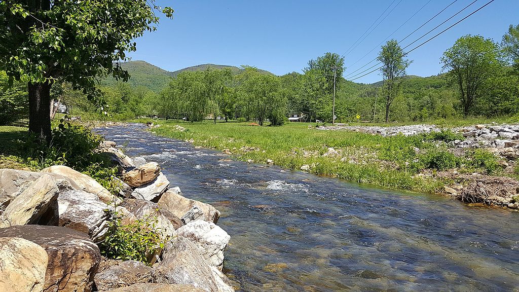
Catawba River
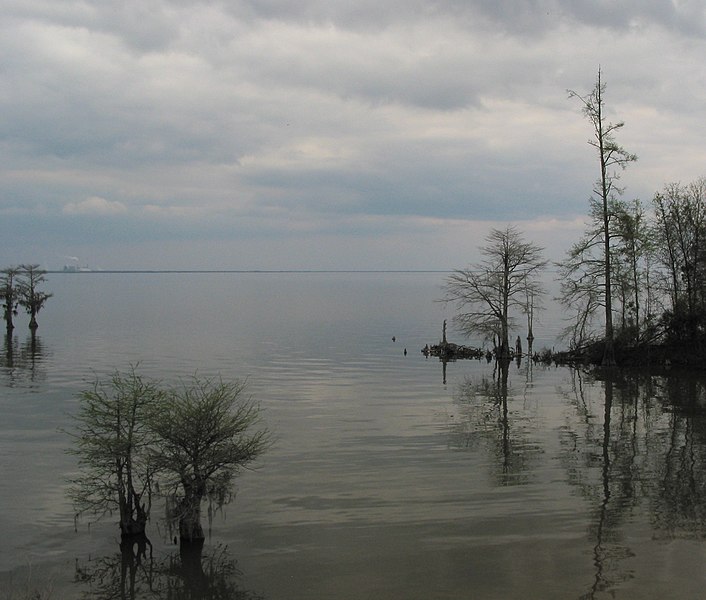
Lake Moultrie
Santee River
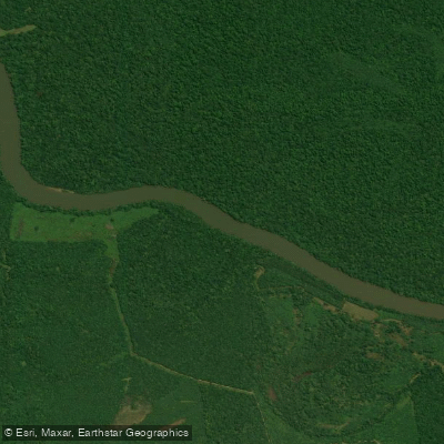
Congaree River
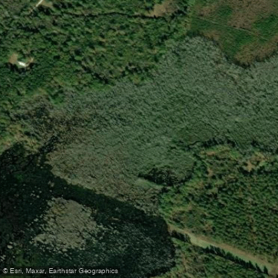
Cedar Creek
Explore South Carolina waters
Top paddling waters
Popular Cities
Loading popular cities...
Explore near North Fork Edisto River
Access points
Nearby waters
More in South Carolina

Smarter Paddling Starts in the App.
Paddleways gives you everything you need to plan smarter, paddle better, and own every trip from first launch to takeout.