Fish Lake
- Lake
- 1 hazard marked
- Lake
- 1 hazard marked
- Hazard marked
- 1
- Public shoreline
- 45%
- Boat Ramps
- 0
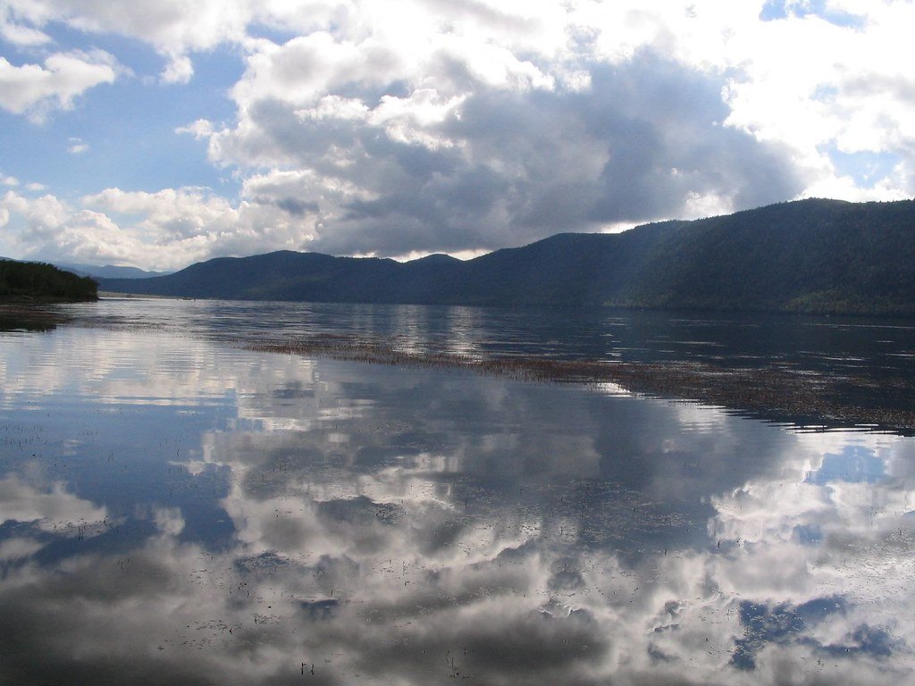
Fish Lake, located in Sevier County, Utah within the Fishlake National Forest, is Utah's largest natural mountain lake at approximately 6 miles long and 1 mile wide. Situated at an elevation of 8,843 feet in a glacially carved valley, the lake offers a distinctive high-altitude paddling experience surrounded by the scenic Mytoge and Sevier Plateau mountains.
**Access and Launch Points:** Three primary boat ramps provide access along the western shore: Lakeside Resort Marina, Fish Lake Lodge Marina, and Bowery Haven Marina. These facilities offer convenient launching for kayaks, canoes, and stand-up paddleboards. The Twin Creeks Picnic Area and several campgrounds (Bowery Creek, Mackinaw, Doctor Creek) also provide shoreline access for hand-carried watercraft.
**Paddling Character:** The lake's deep, clear, cold water creates striking aqua-blue colors that contrast beautifully with the surrounding forested mountains. Paddlers can explore the entire 6-mile length, though the northwestern plateau and southeastern mountain walls create distinct scenic zones. The Lakeshore National Recreation Trail runs along portions of the shoreline, offering visual interest from the water. Open water conditions can generate afternoon winds and waves, making morning paddling generally calmer.
**Wildlife and Scenery:** The area is home to elk, deer, and diverse bird species. The nearby Pando aspen clone—considered the world's oldest and heaviest living organism—displays spectacular golden colors in September. Mountain views exceed 1,000 feet above the lake surface on the southeastern shore.
**Considerations:** The high elevation means cooler water temperatures year-round (typically 55-65°F in summer). Ice fishing is popular from mid-January through March when the lake freezes. The moss line along much of the western shore can affect near-shore conditions. Most facilities operate from Memorial Day through Labor Day, though the area is accessible year-round via State Route 25.
Hazards
Hazards on Fish Lake
No paddler has reported a hazard here yet, so these are the dams, falls and big rapids on our map. Hazards change with flows and storms, so check them before you launch.
Fish Lake - Elizabeth Pass Dam
From our mapDam
From the community
Fish Lake trip reports
Nobody has shared a trip on Fish Lake yet. Paddle it, then tell the next paddler how it went.
Water access & public shoreline
See exactly where the public can get on and off the water. Launch points and boat ramps are paired with PaddleWays' public land data so you know where you can legally land.
Public shoreline
45%of the lake's shoreline is public
- Public
- 45%
- Private
- 55%
Largest public stretches
- Wasatch National Forest
Most of the shoreline is private. Launch, land and camp only at public access points.
Paddling conditions (10 day forecast)
Weather and wind, so you know what to expect on Fish Lake today.
No forecast data available.
Paddle smarter with real-time insights
Live flows, marked hazards and fresh trip reports from paddlers who were just on the water, all in one place.







Find Places to Paddle

Over 400,000 Places to Paddle
Every user gets free access to launch points, boat ramps, and public property parcels.


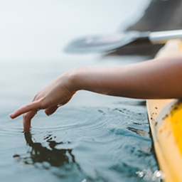
Paddling near Fish Lake
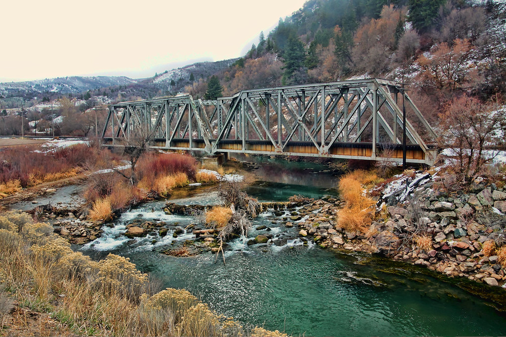
Weber River
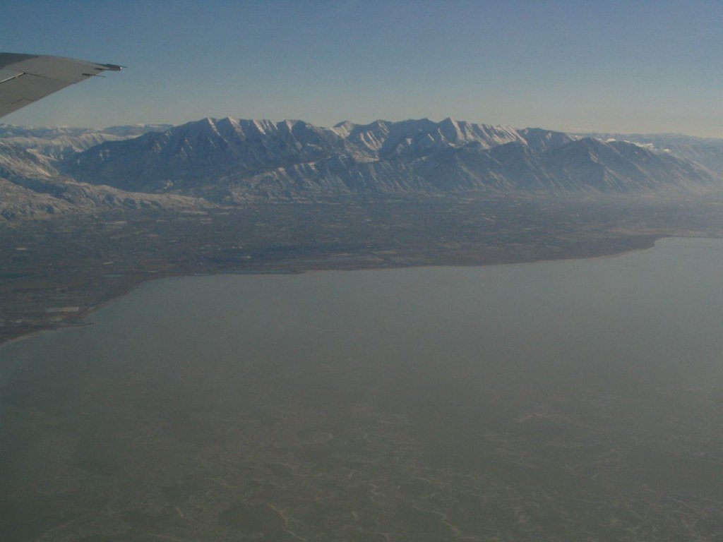
Utah Lake
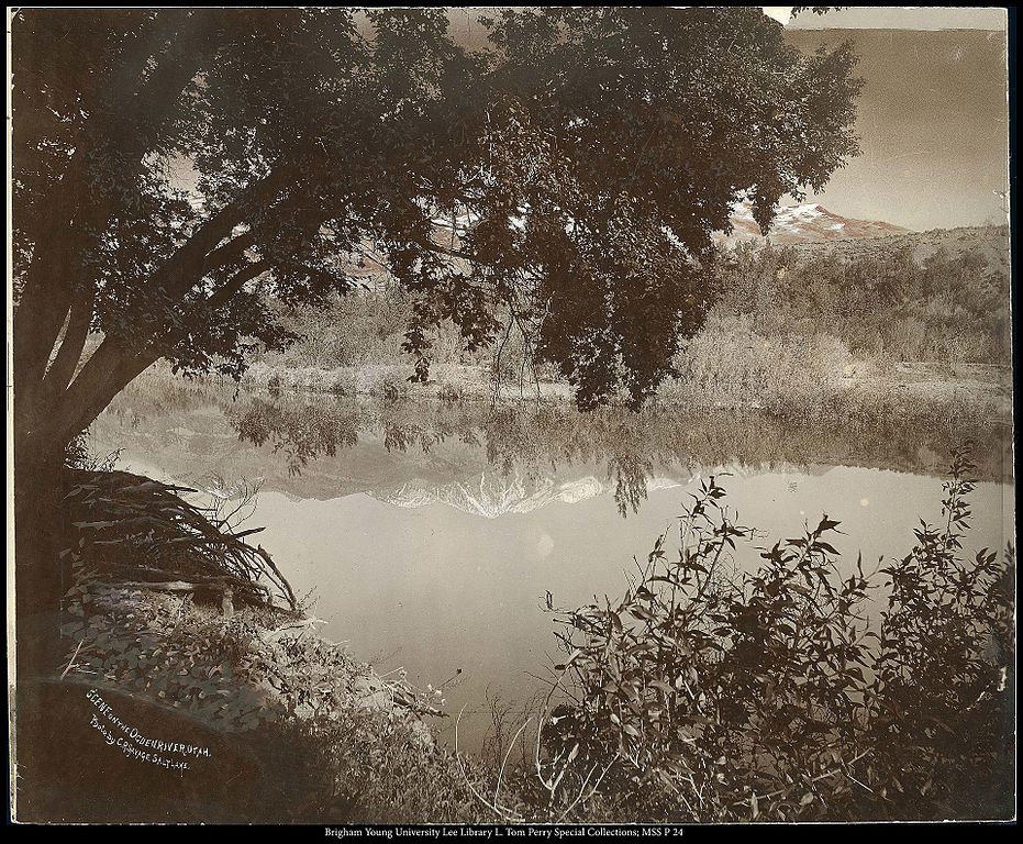
Ogden River
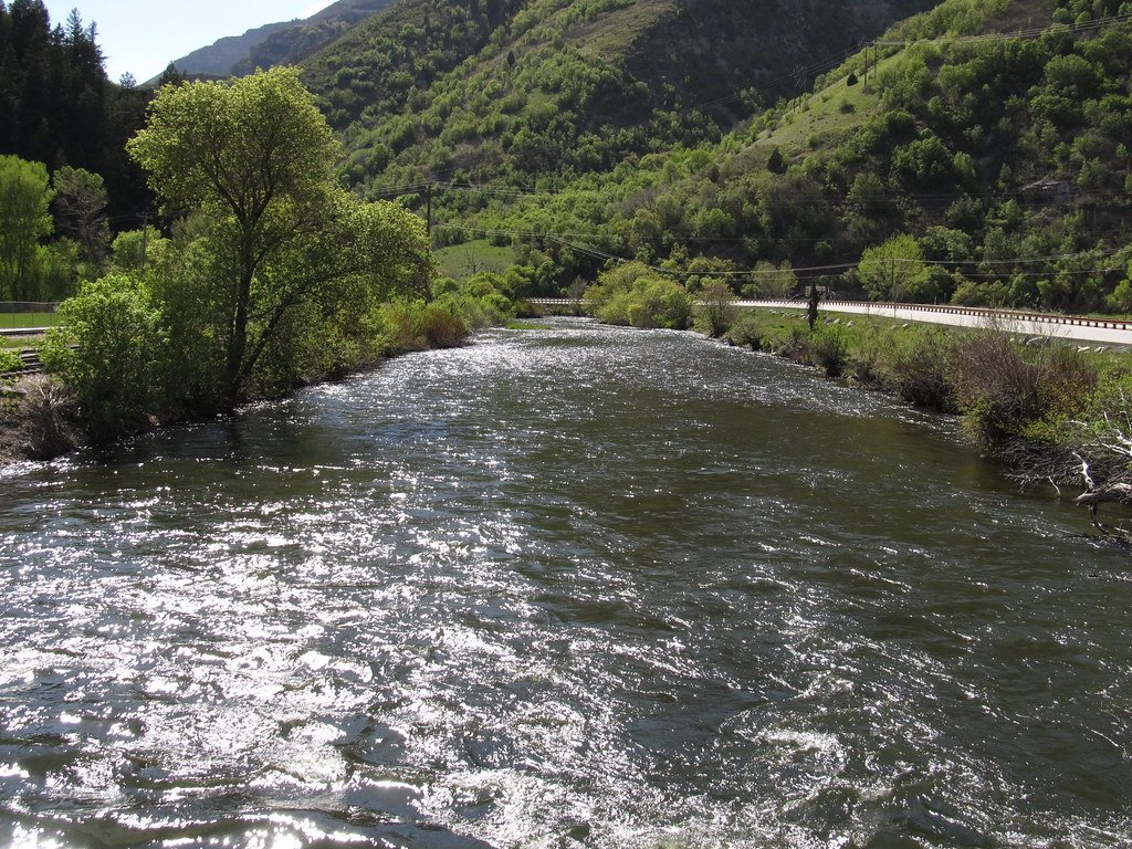
Provo River
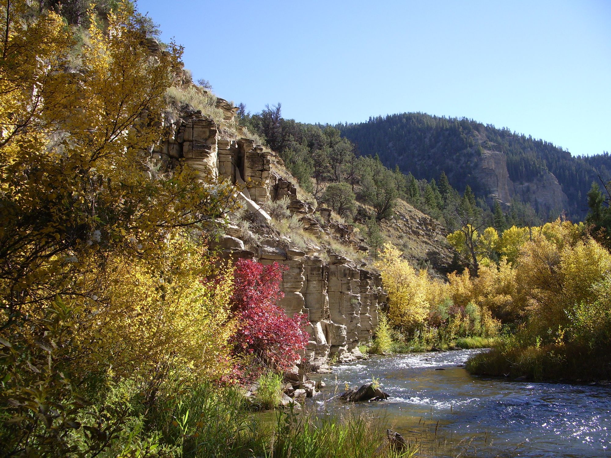
Strawberry River
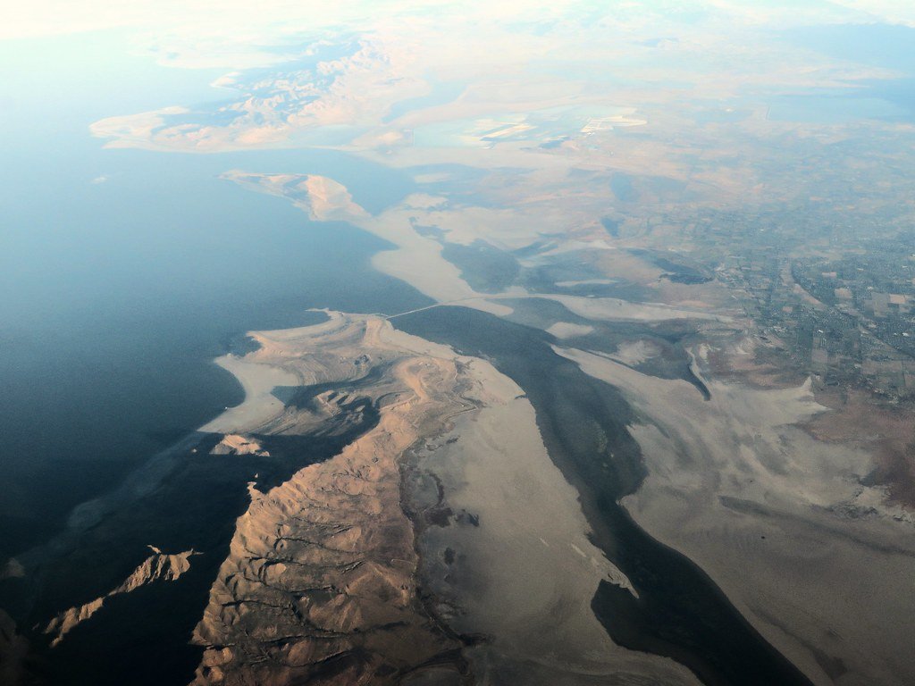
Great Salt Lake
Jordan River
Silver Lake Flat Reservoir
Rockport Lake
Tibble Fork Reservoir
Explore near Fish Lake
Smarter Paddling Starts in the App.
PaddleWays gives you everything you need to plan smarter, paddle better, and own every trip from first launch to takeout.