Curated by PaddleWays
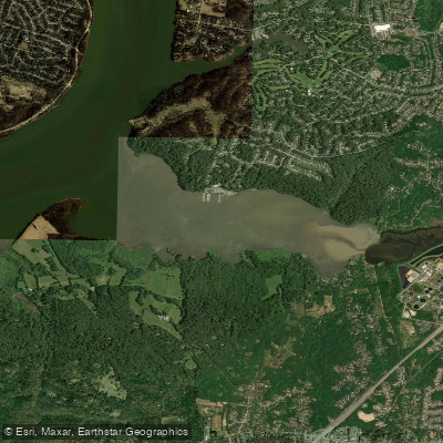
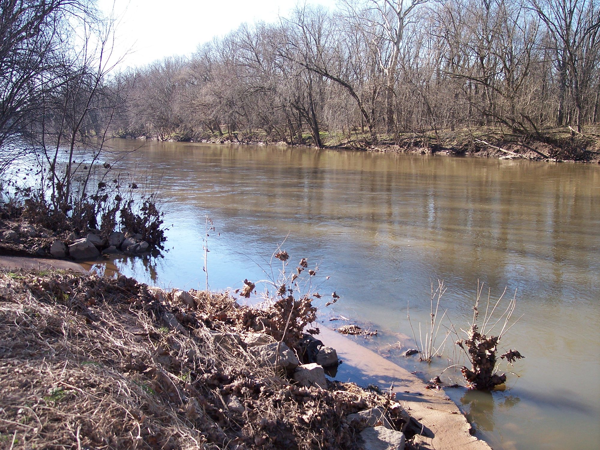
King Arthur Road to Telegraph Road
on Accotink Creek · 7 mi away
RouteClass I
- Distance
- 13.1 mi
- Paddle time
- ~4.5 hrs
- Put-in → take-out
- King Arthur Road Access → Telegraph Road Access
Potential obstacles and low water conditions
An independent city on the tidal Potomac River just south of D.C., Alexandria sits at the center of one of the region's most accessible paddling scenes. The wide, flat reach off Old Town suits every skill level, with launches from Belle Haven Marina, Jones Point, and the new ADA-accessible Four Mile Run kayak launch. Just south, the 380-acre Dyke Marsh tidal wetland and the 40-mile Occoquan Water Trail extend the range.
Curated routes
Hand-picked by the PaddleWays team, with put-ins, take-outs and paddle times. Levels are read from live gauges.
on Accotink Creek · 7 mi away
RouteClass I
on Potomac River · 9 mi away
RouteFlatwater
on Potomac River · 11 mi away
RouteClass I
on Potomac River · 12 mi away
RouteClass II–III
on Potomac River · 13 mi away
RouteClass II–III
on Potomac River · 16 mi away
RouteClass II–V
on Potomac River · 16 mi away
RouteFlatwater
on Potomac River · 17 mi away
RouteClass II–III
on Mattawoman Creek · 18 mi away
RouteFlatwater
on Patuxent River · 21 mi away
RouteFlatwater
on Patuxent River · 21 mi away
RouteFlatwater
on Patuxent River · 23 mi away
RouteFlatwater
Whether you're en route and conditions shift or you're looking for the best spot based on current flows, we enable you to make informed decisions on the fly.





PaddleWays gives you everything you need to plan smarter, paddle better, and own every trip from first launch to takeout.