Curated by PaddleWays
RouteFlatwater
- Distance
- 6.1 mi
- Paddle time
- ~2 hrs
- Best for
- Kayak, canoe
- Put-in → take-out
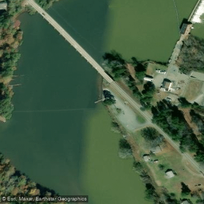
- Kings Bridge Landing Access → Route 360 Access
Small dam at the take-out
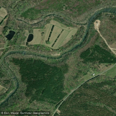
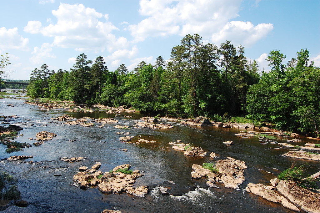
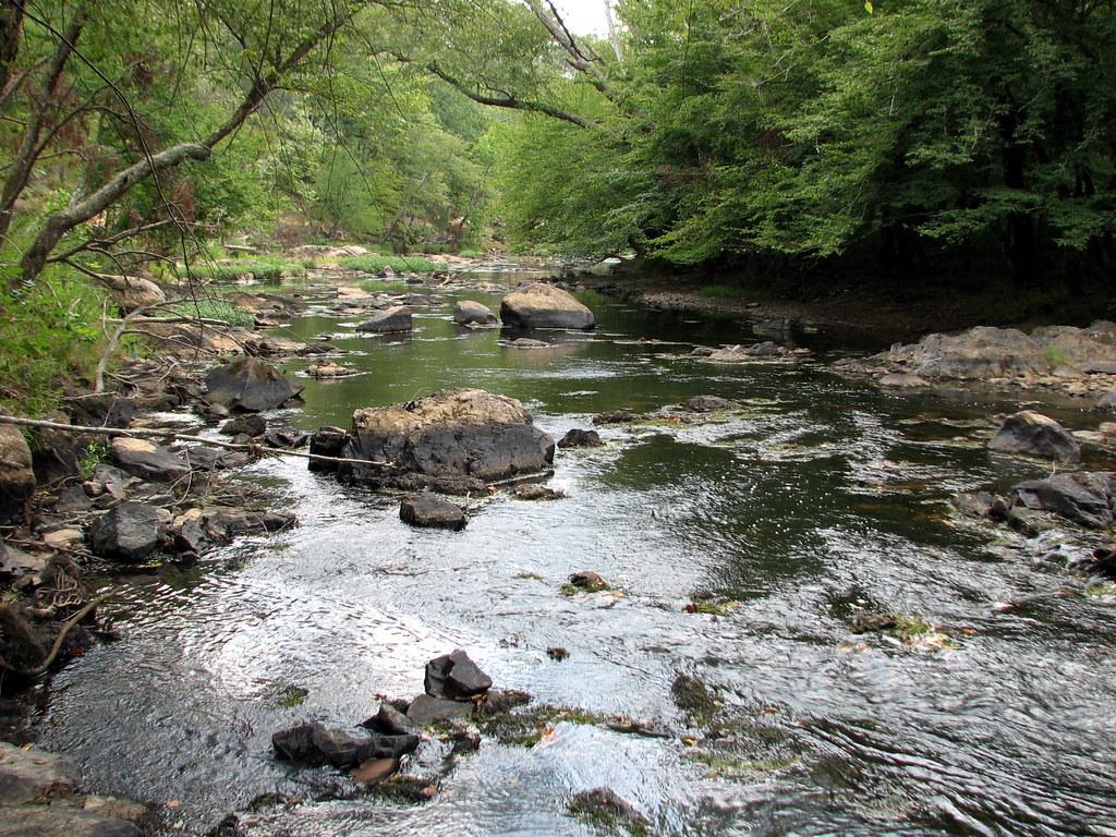
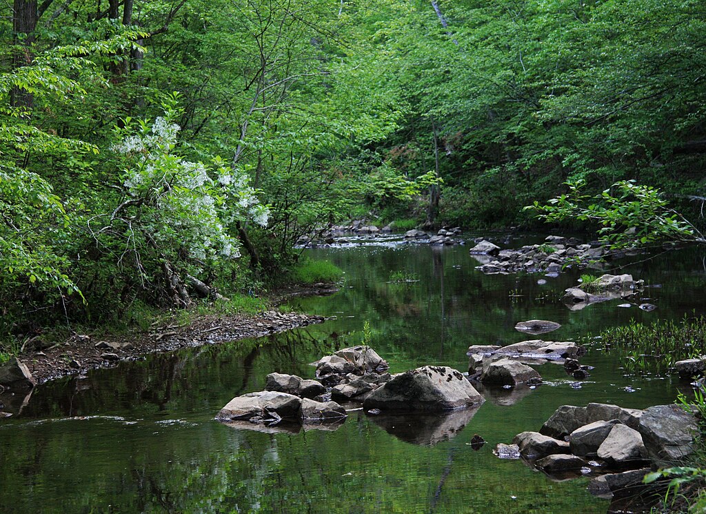
The Banister River is a scenic waterway that flows through south-central Virginia, originating in Pittsylvania County and traveling southeast through Halifax County before joining the Dan River near South Boston. This Virginia Scenic River winds approximately 65 miles through forested landscapes and rural communities. Paddling opportunities on the Banister range from flatwater sections ideal for beginners to Class I-II rapids that offer more challenge. The upper reaches near Chatham feature some of the best-preserved bateau sluices in Virginia, remnants of the river's history as a transportation route. As it approaches the town of Halifax, the river widens and slows, creating Banister Lake behind a small dam.
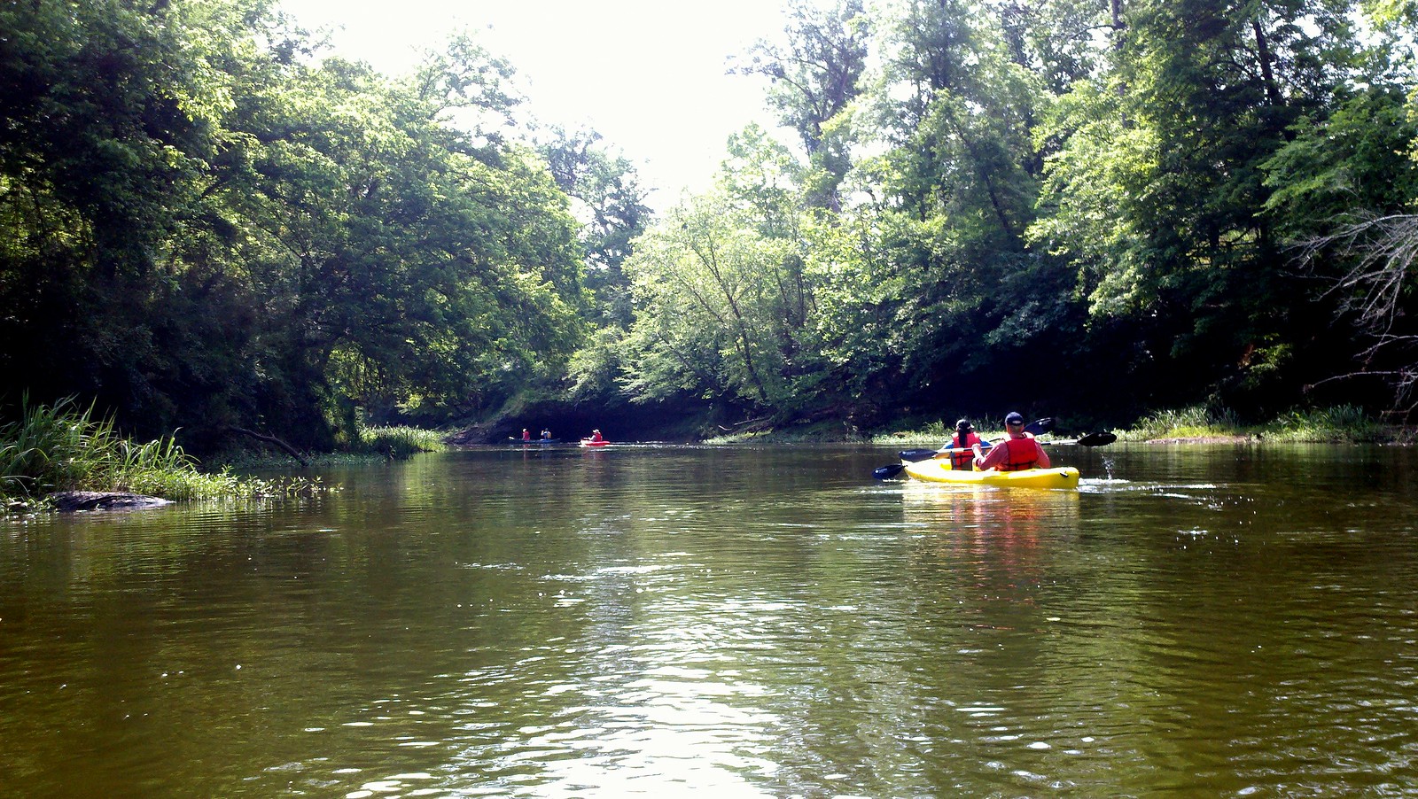
The difficulty is primarily flatwater to Class I, with a few Class II rapids in the upper sections. Most areas are suitable for novice paddlers, though some basic river reading skills are helpful. Spring and fall typically offer the best water levels and comfortable temperatures for paddling. Summer can be enjoyable but may require portaging in low water conditions.
The river corridor supports diverse wildlife, including many bird species that make it part of the Virginia Birding and Wildlife Trail. Paddlers may spot great blue herons, kingfishers, and various waterfowl along the forested banks. Key access points include Clark's Bridge in Pittsylvania County, King's Bridge Landing in Halifax, and Banister Lake Boat Landing. The town of Halifax serves as a central hub for river access and amenities. Terry's Bridge Access provides another put-in option further downstream.
Historically, the Banister River played a role in early commerce, with evidence of old mill sites and the aforementioned bateau sluices. Today, it's an important recreational resource and part of the Southern Virginia Wild Blueway system. Safety considerations include checking water levels before trips, especially after heavy rains. Fallen trees can create obstacles, particularly in less-traveled sections. All paddlers should wear life jackets and be aware of the dam at Banister Lake.
For multi-day adventures, paddlers can combine sections of the Banister with portions of the Dan River, though designated campsites along the Banister itself are limited. Local outfitters in Halifax can assist with trip planning and shuttles for longer excursions. The Banister River offers a delightful blend of natural beauty, gentle paddling, and historical intrigue, making it a cherished waterway for both locals and visitors to southern Virginia.
Curated routes
Hand-picked by the PaddleWays team, with put-ins, take-outs, paddle times and the hazards along the way.
RouteFlatwater
Hazards
No paddler has reported a hazard here yet, so these are the dams, falls and big rapids on our map. Hazards change with flows and storms, so check them before you launch.
From the community
Nobody has shared a trip on Banister River yet. Paddle it, then tell the next paddler how it went.
See exactly where the public can get on and off the river. Launch points and boat ramps are paired with PaddleWays' public land data so you know where you can legally land.
Public shoreline
4%of the river's shoreline is public
Most of the riverbank is private. Launch, land and camp only at public access points.
Flows, weather and a route-by-route verdict, so you know which stretch of the Banister River is worth paddling today.
Live flows, marked hazards and fresh trip reports from paddlers who were just on the water, all in one place.





Every user gets free access to launch points, boat ramps, and public property parcels.
Loading popular cities...
PaddleWays gives you everything you need to plan smarter, paddle better, and own every trip from first launch to takeout.