Drum Island Flats
- Saltwater
- Bay
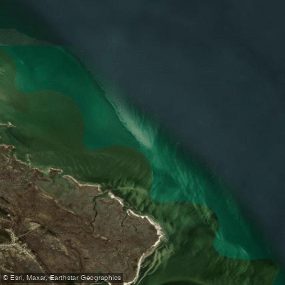
Drum Island Flats
- Saltwater
- Bay
- Sq. miles
- 4.4
- Boat Ramps
- 0
- Access Points
- 0
- Campsites
- 0
Drum Island Flats is a broad, shallow estuarine flat located in the lower Chesapeake Bay, east of Plum Island National Wildlife Refuge. It is part of a larger system of flats that includes the adjacent Poquoson Flats, forming an extensive area of open water and marsh along the shoreline from the mouth of Back River to Bennett Creek. The area is characterized by extensive grass beds and sandy patches in water depths typically ranging from 2 to 6 feet, with shallower water over the flats themselves. For paddlers, this translates to a large, exposed area where wind can build significant fetch, making conditions potentially choppy. The entire area is subject to strong tidal currents, with the most pronounced flow occurring during the second half of the incoming tide and the first half of the outgoing tide. Paddlers should plan routes and crossings carefully to work with these currents.
Access for kayaks and canoes is typically from launches in the surrounding river systems, such as the Poquoson River, Back River, or Bennett Creek. The flats border the Plum Tree Island National Wildlife Refuge, also referred to as Big Salt Marsh on some charts, offering a remote, marshy shoreline to explore. A specific put-in is across from Owens, which provides access to the marsh banks. Due to the extensive shallows, paddlers can navigate into very skinny water, especially near low tide when large areas may become exposed mud or sand flats. The water clarity is variable, clear in some areas and cloudy in others, with a preferred "green" water color noted by some users. Wildlife sightings include skates, rays, and various bird species associated with the marsh refuge.
The area is also used by powerboats, particularly shallow-draft fishing boats, so paddlers should remain aware of boat traffic, especially near channel edges and popular fishing structures like duck blinds and old pilings. There are no indicated surf zones at typical launch points, as access is from protected rivers. The aesthetic is that of a vast, open coastal bay with marsh-grass horizons. Paddlers should consult tide charts meticulously, as the tidal range is significant and mis-timing can leave you stranded on extensive mudflats or fighting strong currents in open water.
Water access, boat ramps & amenities
Learn how to get on Drum Island Flats. Uncover great paddling access points, boat ramps, and all the facilities you need for an unforgettable day on the water. Some locations shown may border or include private property. Always check property boundaries and applicable regulations before visiting. PaddleWays's Public & Private Land layer can help you plan your access with confidence.
Paddle smarter with real-time insights
Whether you're en route and conditions shift or you're looking for the best spot based on current flows, we enable you to make informed decisions on the fly.








Find Places to Paddle

Over 400,000 Places to Paddle
Every user gets free access to launch points, boat ramps, and public property parcels.


Tides, wind & water conditions (10 day forecast)
On open water, wind and tide matter as much as the weather. See the best times to paddle Drum Island Flats and check the marine forecast before you launch.
Loading tide predictions…
Paddling near Drum Island Flats

James River
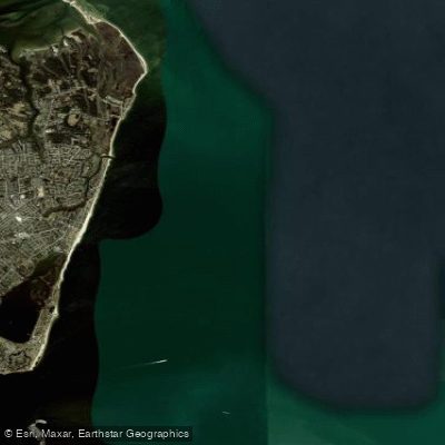
Horseshoe

Rappahannock River
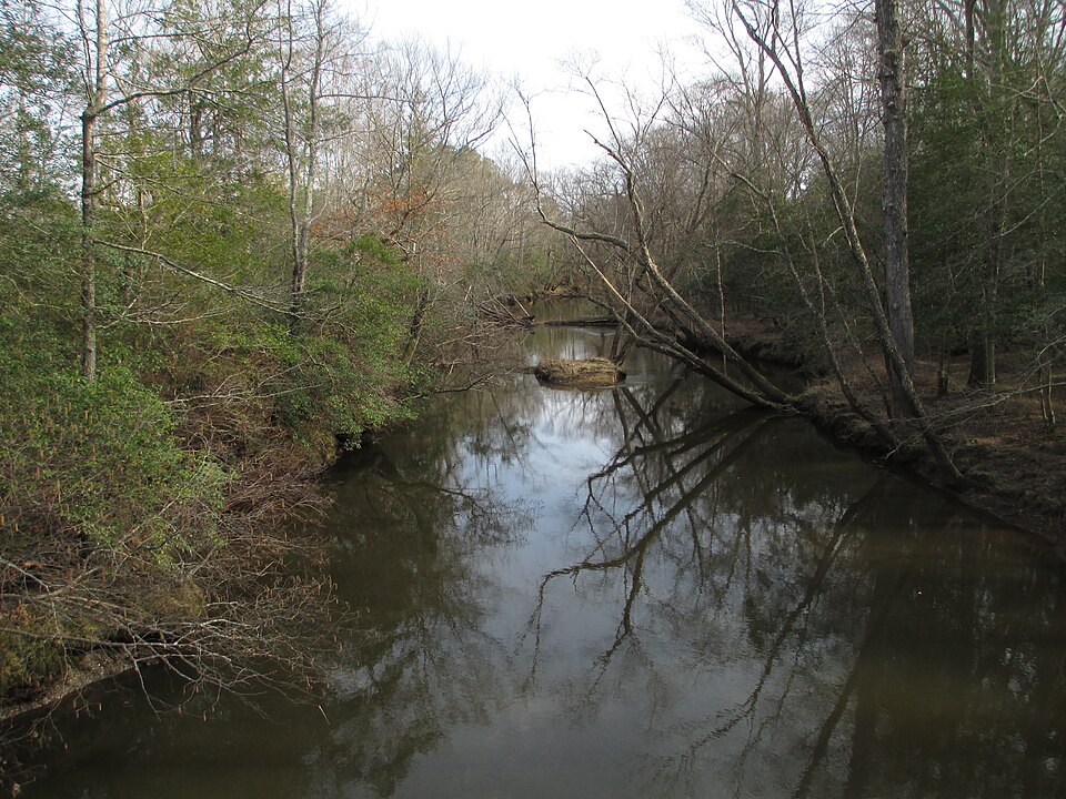
Mattaponi River
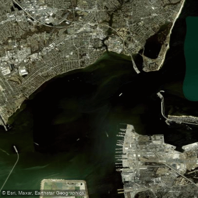
Hampton Roads
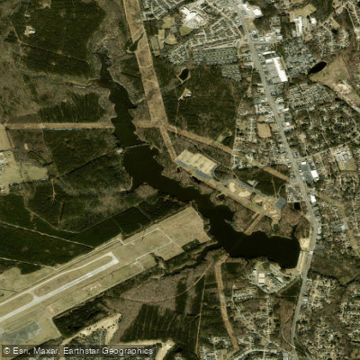
Harwoods Mill Reservoir
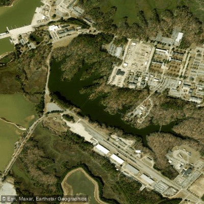
Eustis Lake
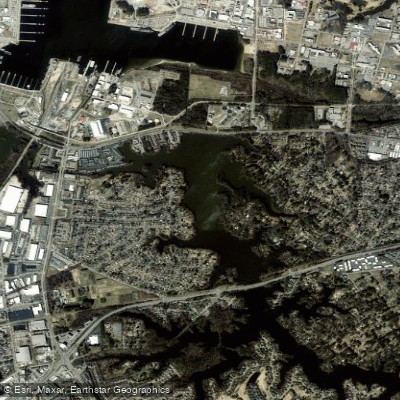
Little Creek Reservoir
Explore Virginia waters
Top paddling waters
Popular Cities
Loading popular cities...
Explore near Drum Island Flats

Smarter Paddling Starts in the App.
Paddleways gives you everything you need to plan smarter, paddle better, and own every trip from first launch to takeout.