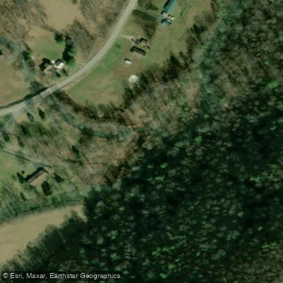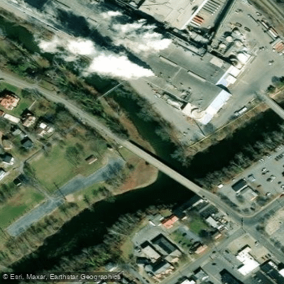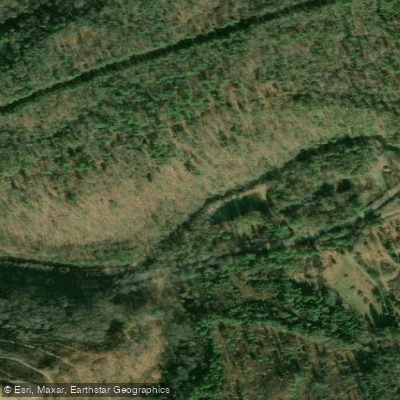
Curated by PaddleWays
RouteClass I–IV
- Distance
- 20.3 mi
- Paddle time
- ~5 hrs
- Best for
- Intermediate paddlers, experienced paddlers
- Put-in → take-out
- Crows Access → Rose Dale Park Access
Braids with strainers and other hazards
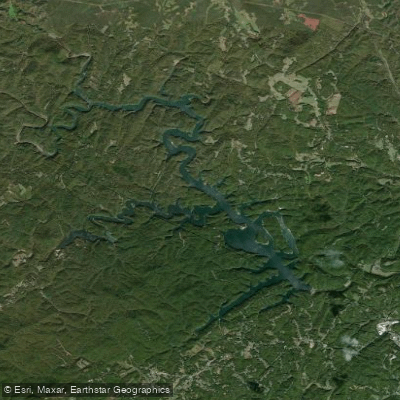
Dunlap Creek is a scenic waterway located in Alleghany County, Virginia. This creek originates in the Allegheny Mountains and flows generally eastward, eventually joining the Jackson River. The total length of Dunlap Creek is approximately 45 miles.
Paddlers can experience two distinct sections on Dunlap Creek. The upper section, from Route 603 to Crows, spans 26.5 miles and offers challenging Class II-IV whitewater. This stretch features continuous rapids that increase in difficulty as you progress downstream, testing paddlers' technical skills and endurance. The lower section, from Crows to the confluence with the Jackson River, covers 18.5 miles and ranges from Class I to IV, providing a mix of calm stretches and exciting rapids.
The overall difficulty of Dunlap Creek ranges from beginner-friendly Class I waters to expert-level Class IV rapids, requiring varying degrees of whitewater experience. Paddlers should be prepared for technical maneuvering, potential strainers, and other hazards typical of Appalachian creeks. Spring typically offers the best water levels for paddling Dunlap Creek, though levels can fluctuate with rainfall. Always check current conditions before embarking on a trip.
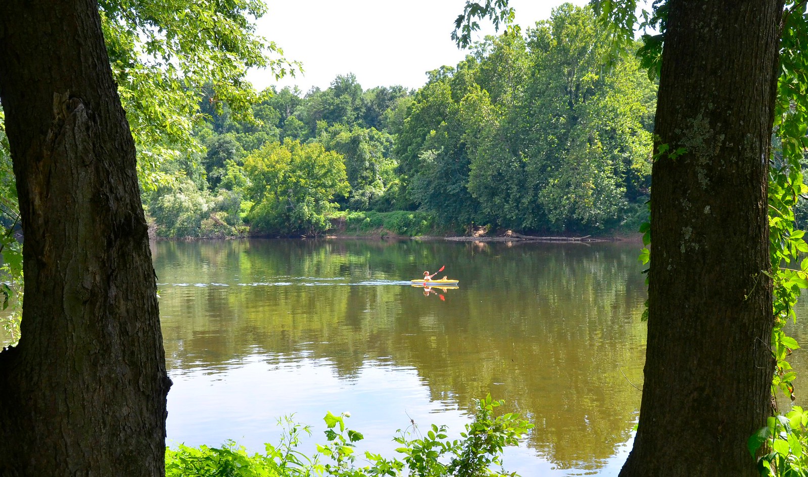
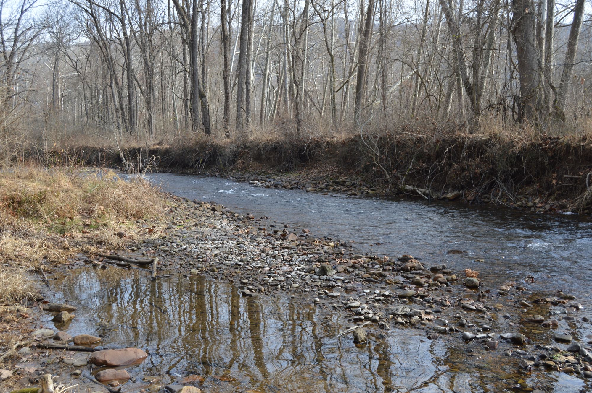
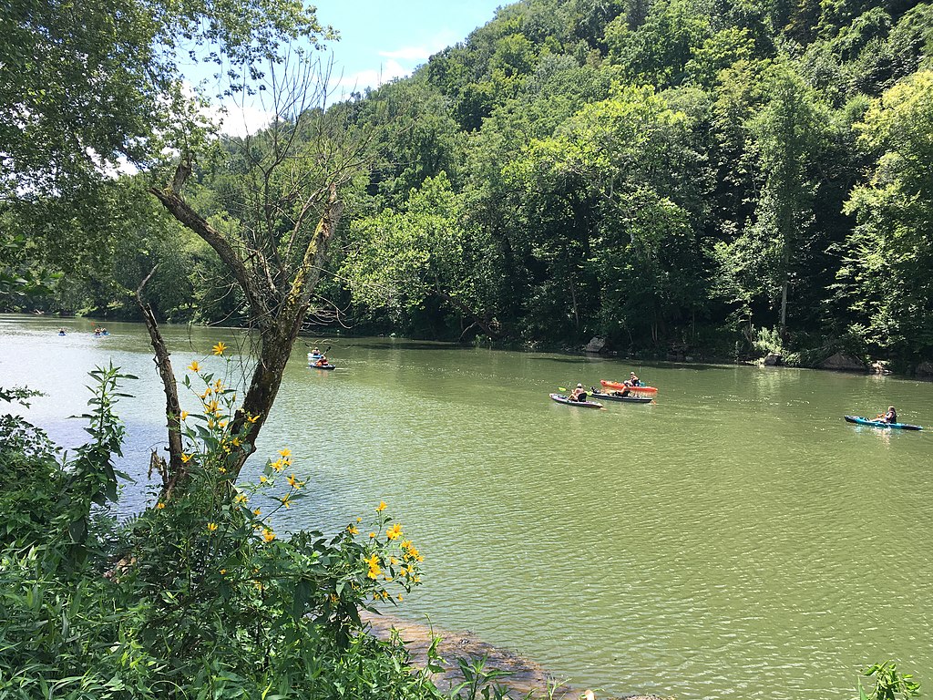
The creek winds through the lush Allegheny Mountains, showcasing the diverse flora of the region, including hardwood forests and native wildflowers. Wildlife such as deer, black bears, and various bird species may be spotted along the banks.
Key access points include the put-in at Route 603 and take-outs at Crows (Route 311) and the Jackson River confluence. The nearby town of Covington serves as a convenient base for paddlers exploring Dunlap Creek.
Safety considerations are paramount when paddling Dunlap Creek. The remote nature of the run requires self-sufficiency and proper safety equipment. Paddlers should be aware of potential hazards such as strainers and undercut rocks, especially in the braided sections of the creek.
For those seeking a multi-day adventure, combining the upper and lower sections of Dunlap Creek offers a challenging 45-mile journey through the heart of the Allegheny Mountains. This trip showcases the full range of whitewater and scenery the creek has to offer, from technical rapids to serene mountain vistas.
Dunlap Creek provides a quintessential Appalachian paddling experience, offering a perfect blend of challenge and natural beauty for whitewater enthusiasts in Virginia's mountain region.
Curated routes
Hand-picked by the PaddleWays team, with put-ins, take-outs, paddle times and the hazards along the way.
RouteClass I–IV
Hazards
No paddler has reported a hazard here yet, so these are the dams, falls and big rapids on our map. Hazards change with flows and storms, so check them before you launch.
From the community
Nobody has shared a trip on Dunlap Creek yet. Paddle it, then tell the next paddler how it went.
See exactly where the public can get on and off the river. Launch points and boat ramps are paired with PaddleWays' public land data so you know where you can legally land.
Public shoreline
7%of the river's shoreline is public
Most of the riverbank is private. Launch, land and camp only at public access points.
Flows, weather and a route-by-route verdict, so you know which stretch of the Dunlap Creek is worth paddling today.
Live flows, marked hazards and fresh trip reports from paddlers who were just on the water, all in one place.





Every user gets free access to launch points, boat ramps, and public property parcels.

Loading popular cities...
PaddleWays gives you everything you need to plan smarter, paddle better, and own every trip from first launch to takeout.