Potomac Creek
- Saltwater
- Tidal creek
Potomac Creek
- Saltwater
- Tidal creek
- Sq. miles
- 2.3
- Boat Ramps
- 0
- Access Points
- 0
- Campsites
- 0
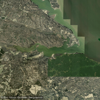
Potomac Creek is a tidal creek in King George and Stafford Counties, Virginia, flowing into the Potomac River. It offers approximately 20 kilometers of paddling through calm, protected tidal waters characterized by winding channels and extensive wetland ecosystems, making it suitable for paddlers of all skill levels. The creek's shoreline features marshlands and wooded areas, providing opportunities for wildlife viewing, particularly of waterfowl and wading birds. Key access points for launching and take-out include the canoe/kayak hand-launch area within Crow's Nest Natural Area Preserve, which has parking for 14 vehicles and provides access to a water trail through the preserve's wetlands. Nearby, Widewater State Park offers a dedicated paddle craft launch, from which it is a 1.3-mile one-way paddle to Aquia Landing County Park and a 5-mile one-way paddle upstream to Government Island. Caledon State Park also provides water access. As a tidal feature, water levels and currents are dictated by the Potomac River's tides; paddlers should plan trips around the tidal cycle, noting that landing at some shores like Government Island can be muddy at low tide. The creek connects to longer routes on the Potomac River, including the Captain John Smith Chesapeake National Historic Trail. From Widewater State Park, it is approximately 13.5 miles to the paddle-in campground at Caledon State Park and about 16 miles from Leesylvania State Park. The area holds historical significance, with Aquia sandstone from nearby Government Island used in the construction of the White House and U.S. Capitol.
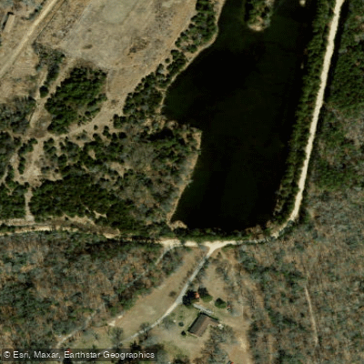
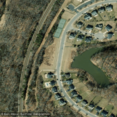
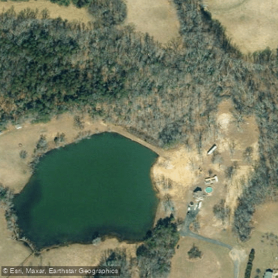
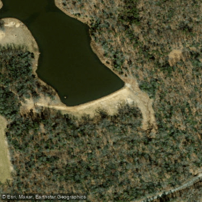
Water access, boat ramps & amenities
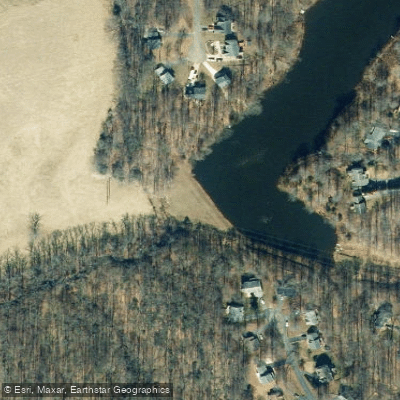
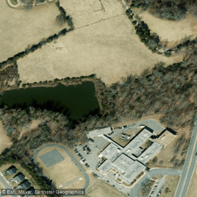
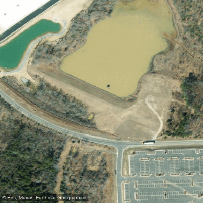
Learn how to get on Potomac Creek. Uncover great paddling access points, boat ramps, and all the facilities you need for an unforgettable day on the water. Some locations shown may border or include private property. Always check property boundaries and applicable regulations before visiting. PaddleWays's Public & Private Land layer can help you plan your access with confidence.
Paddle smarter with real-time insights
Whether you're en route and conditions shift or you're looking for the best spot based on current flows, we enable you to make informed decisions on the fly.








Find Places to Paddle

Over 400,000 Places to Paddle
Every user gets free access to launch points, boat ramps, and public property parcels.


Tides, wind & water conditions (10 day forecast)
On open water, wind and tide matter as much as the weather. See the best times to paddle Potomac Creek and check the marine forecast before you launch.
Loading tide predictions…
Paddling near Potomac Creek

Rappahannock River

Potomac River
Lake Anna
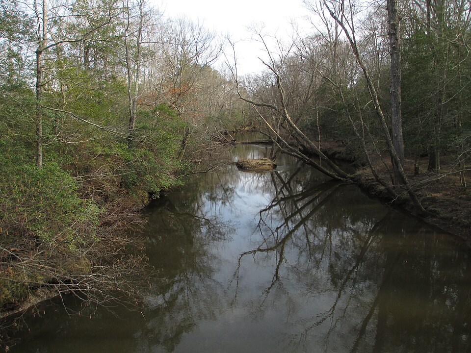
Mattaponi River
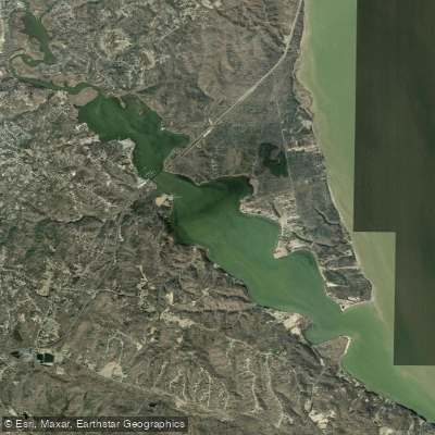
Aquia Creek

James River

Patuxent River
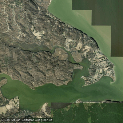
Accokeek Creek
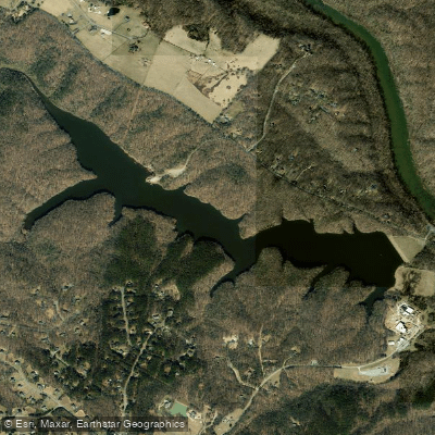
Motts Run Reservoir
Explore Virginia waters
Top paddling waters
Popular Cities
Loading popular cities...
Explore near Potomac Creek

Smarter Paddling Starts in the App.
Paddleways gives you everything you need to plan smarter, paddle better, and own every trip from first launch to takeout.