Tye River
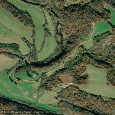
Tye River
- Boat Ramps
- 0
- Access Points
- 0
- Campsites
- 2
The Tye River originates high in the Blue Ridge Mountains of Nelson County, Virginia, where its North and South Forks converge at the village of Nash. The North Fork begins near Tye River Gap along the Blue Ridge Parkway and flows 8.7 miles southeast, while the South Fork rises southwest of Montebello and travels 7.6 miles east before joining its sister fork. From Nash, the main stem flows approximately 34 miles eastward through Nelson County's rolling hills and pastoral valleys before emptying into the James River near Norwood, making it part of the greater Chesapeake Bay watershed.
Fed by major tributaries including the Piney and Buffalo Rivers, the Tye offers paddlers a progression of experiences from technical mountain whitewater to more forgiving flatwater sections. The river system provides roughly 35 miles of paddleable water across seven distinct sections, ranging from the extreme Class V North Fork above Nash—a rarely runnable expert-only run requiring significant rainfall—to the more accessible Class I-II lower sections approaching the James confluence. The upper reaches from Nash to Massies Mill present Class II-IV whitewater through forested mountain terrain, typically runnable 15-18 days per year during winter flows. The middle sections from Massies Mill through Tye River P.O. offer Class I-III paddling with extended season availability of 55-115 days annually.
Winter and early spring provide optimal water levels, with the upper sections requiring recent precipitation while lower stretches remain navigable through early summer. Summer temperatures reach the 80s with overnight lows in the 60s, creating pleasant conditions for warm-weather paddling when flows permit. Winter paddling occurs in the 40s, dropping to the 20s at night.
The river corridor features striking natural beauty with rock formations, cliffs, islands, and rapids set against a backdrop of forested hillsides and occasional open fields offering mountain views. The George Washington National Forest borders the headwaters region. In 2013, a 12.7-mile section from Route 739 to the James River confluence received Virginia Scenic River designation, recognizing its aesthetic and recreational values. Crabtree Falls, one of Nelson County's premier attractions featuring the highest vertical-drop cascading waterfall east of the Mississippi, lies within the watershed.
Anglers pursue largemouth bass, smallmouth bass, bluegill, and trout including browns, rainbows, and brook trout. The Virginia Blue Ridge Railway Trail follows portions of the abandoned railway along the river's north bank, providing hiking and biking opportunities. Access points include Route 56 at Nash and Massies Mill, Route 29 near Arrington and Tye River P.O., Route 739, Route 654 (Falling Rock Drive), and Route 626 at the James confluence. Charlottesville and Lynchburg provide the nearest major urban centers. Paddlers should note hazards including a seven-foot dam below Route 29, low-water bridges, barbed wire fences, and significant wood accumulation on upper sections requiring careful scouting.
Water access, boat ramps & amenities
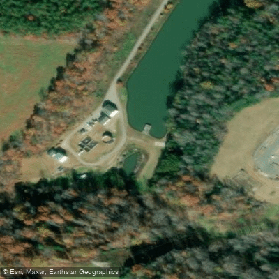
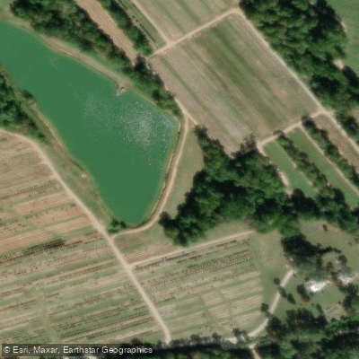
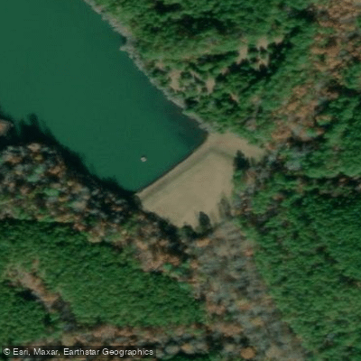
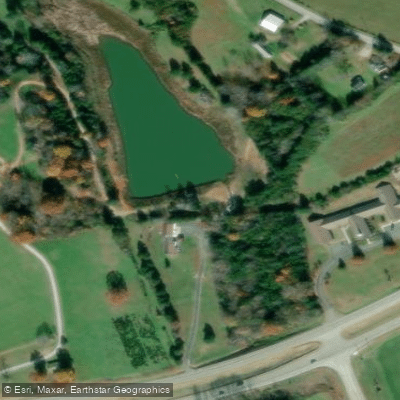
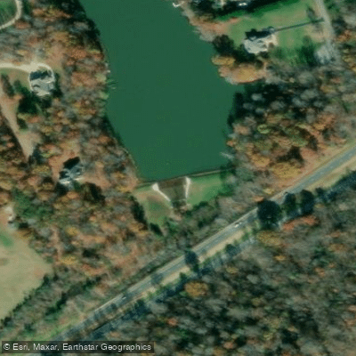
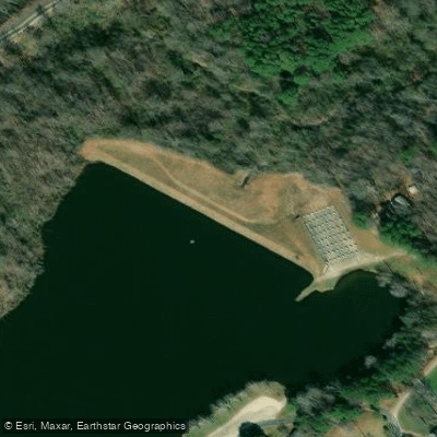
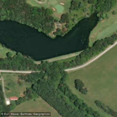
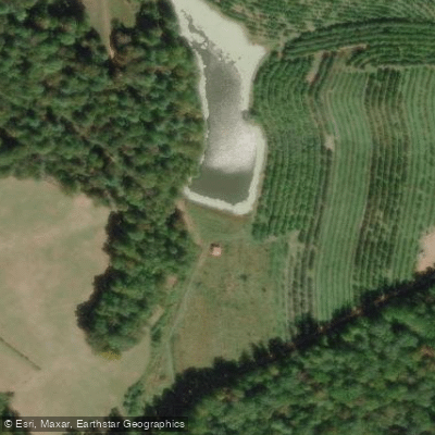
Learn how to get on Tye River. Uncover great paddling access points, boat ramps, and all the facilities you need for an unforgettable day on the water. Some locations shown may border or include private property. Always check property boundaries and applicable regulations before visiting. PaddleWays's Public & Private Land layer can help you plan your access with confidence.
Paddle smarter with real-time insights
Whether you're en route and conditions shift or you're looking for the best spot based on current flows, we enable you to make informed decisions on the fly.








Find Places to Paddle

Over 400,000 Places to Paddle
Every user gets free access to launch points, boat ramps, and public property parcels.


Water and weather conditions (10 day forecast)
See the best times to paddle Tye River and check the forecast before you go.
TYE RIVER NEAR LOVINGSTON, VA
Paddling near Tye River

James River
Smith Mountain Lake
Appomattox River
Jackson River
Roanoke River
Leesville Lake
Maury River

Carvin Cove Reservoir
Lake Merriweather
Explore Virginia waters
Top paddling waters
Popular Cities
Loading popular cities...
Explore near Tye River
Nearby waters
More in Virginia

Smarter Paddling Starts in the App.
Paddleways gives you everything you need to plan smarter, paddle better, and own every trip from first launch to takeout.