Brunsweiler River
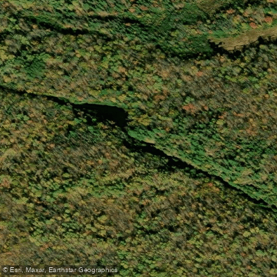
Brunsweiler River
- Boat Ramps
- 0
- Access Points
- 0
- Campsites
- 5
The Brunsweiler River is a wild and scenic waterway that flows through the rugged Gogebic Range in northern Wisconsin. Originating near Mineral Lake in Ashland County, this river winds its way northward through the dense forests of the Chequamegon-Nicolet National Forest before joining the Bad River system and ultimately emptying into Lake Superior. Known for its challenging whitewater and pristine natural surroundings, the Brunsweiler offers paddlers a range of experiences across its approximately 20-mile course.
The upper reaches near Mineral Lake feature a dramatic rocky gorge carved through ancient Keweenawan granite, showcasing the raw geological power that shaped this landscape. As the river descends, it alternates between calm stretches and thrilling rapids, with difficulty ranging from Class II to IV depending on water levels. The most popular paddling section runs 10.3 miles from Beaverdam Lake to Highway 13, offering a continuous string of Class II-III+ rapids set against a backdrop of untamed wilderness. This stretch demands solid whitewater skills and self-rescue abilities due to its remote nature. For less experienced paddlers, the short section near Spring Brook Road provides an opportunity to enjoy small rapids and scenic rock gardens in a more accessible setting.
The Brunsweiler's flow is highly dependent on seasonal patterns, with the best paddling typically occurring during spring runoff or after heavy rains. The river is designated as a trout stream, supporting populations of brook and brown trout. Wildlife enthusiasts may spot bald eagles, otters, and black bears along its forested banks.
Key access points include Mineral Lake (via Forest Road 1412), Beaverdam Lake, and various bridge crossings such as Spring Brook Road and Highway 13. The nearby town of Mellen serves as a convenient base for river trips. Paddlers should be aware of potential hazards such as strainers and changing water levels.
As the river flows through the Chequamegon-Nicolet National Forest, users should follow Leave No Trace principles and check for any specific regulations or permits required for overnight trips. The Brunsweiler River offers a true wilderness paddling experience, allowing adventurers to immerse themselves in the raw beauty of northern Wisconsin's forests and witness firsthand the powerful forces that continue to shape this dynamic waterway.
Water access, boat ramps & amenities
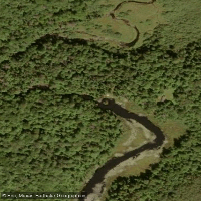
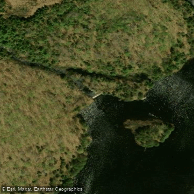
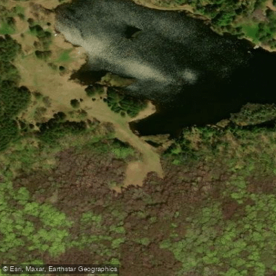
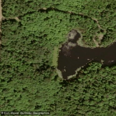
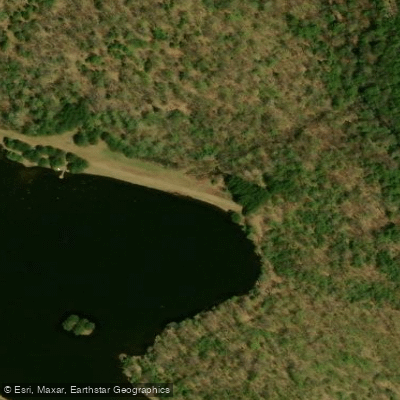
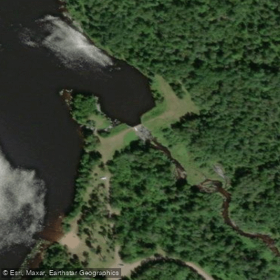
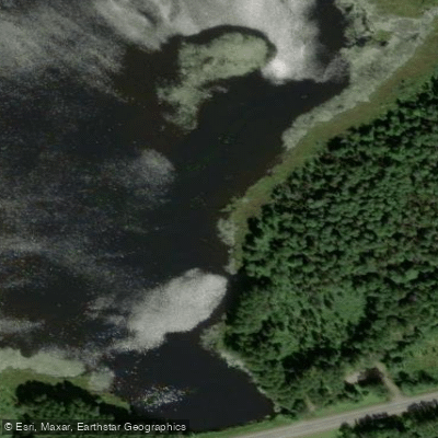
Learn how to get on Brunsweiler River. Uncover great paddling access points, boat ramps, and all the facilities you need for an unforgettable day on the water. Some locations shown may border or include private property. Always check property boundaries and applicable regulations before visiting. PaddleWays's Public & Private Land layer can help you plan your access with confidence.
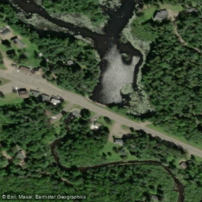
Paddle smarter with real-time insights
Whether you're en route and conditions shift or you're looking for the best spot based on current flows, we enable you to make informed decisions on the fly.








Find Places to Paddle

Over 400,000 Places to Paddle
Every user gets free access to launch points, boat ramps, and public property parcels.


Water and weather conditions (10 day forecast)
See the best times to paddle Brunsweiler River and check the forecast before you go.
No forecast data available.
Paddling near Brunsweiler River
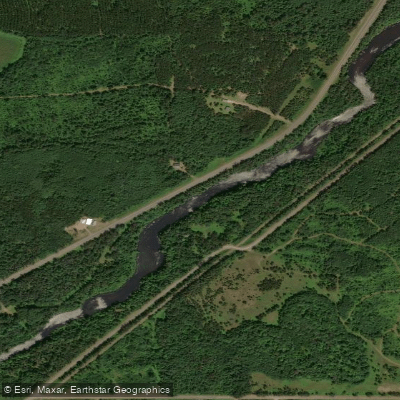
Namekagon River
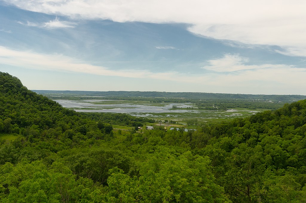
Chippewa River

Lake Superior
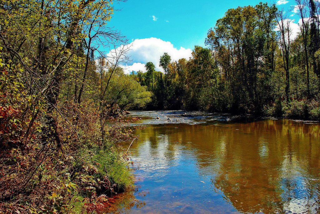
Bois Brule River
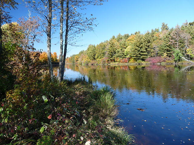
Flambeau River
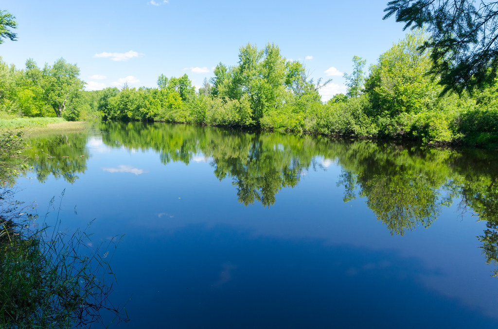
East Fork Chippewa River
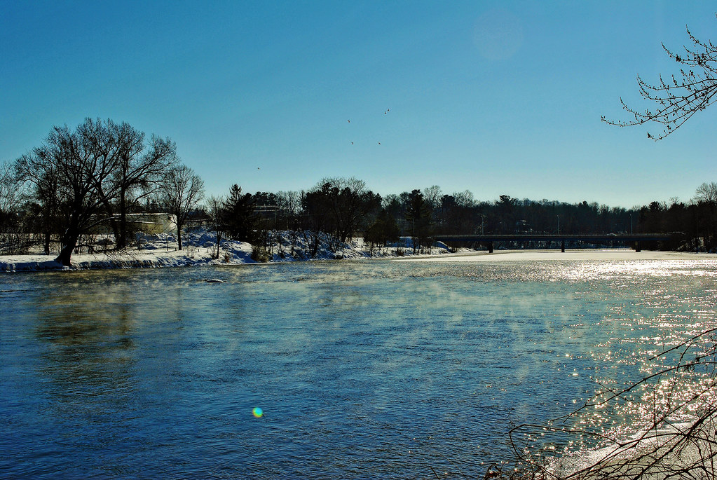
Red Cedar River
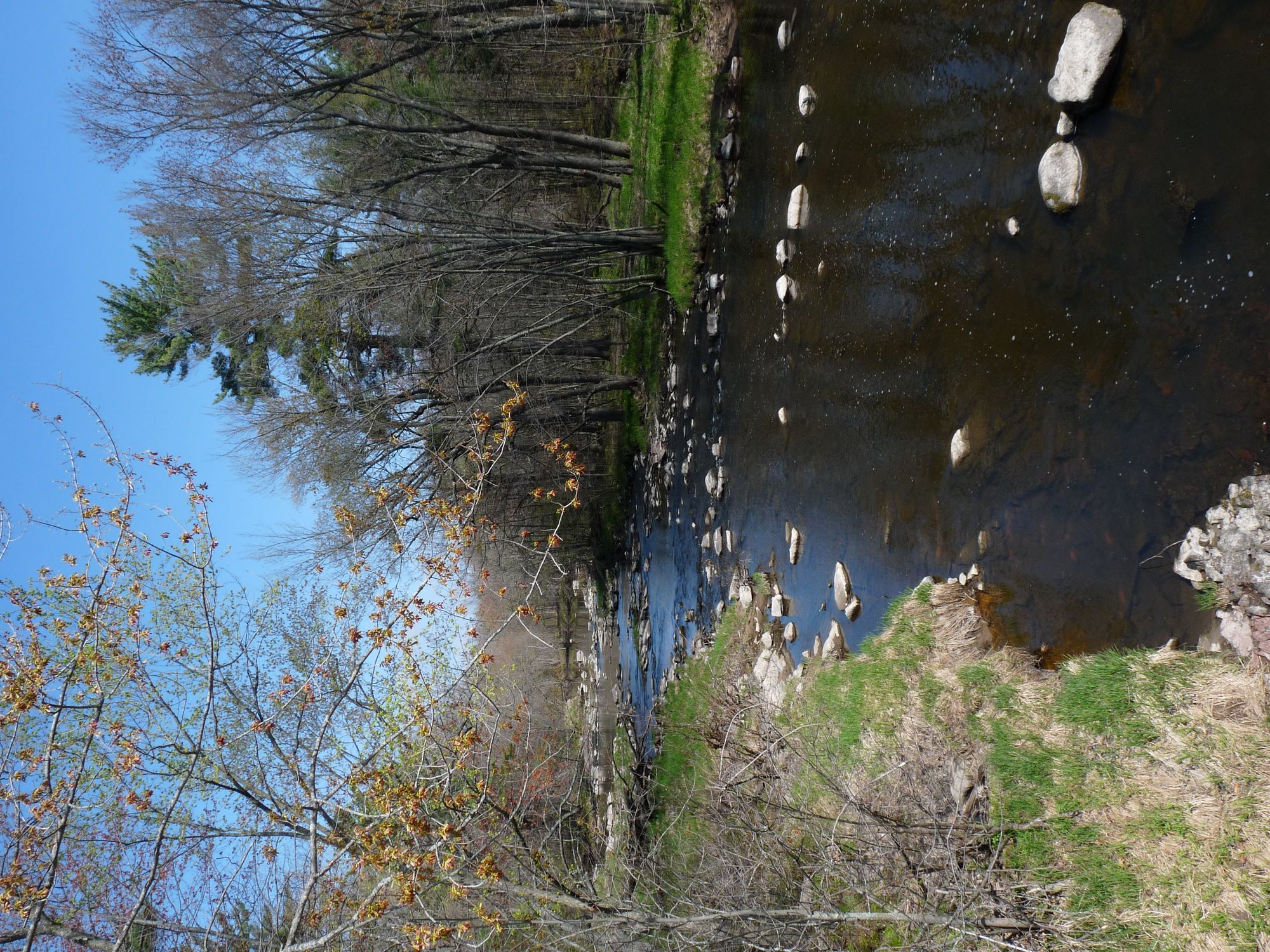
Yellow River
Long Lake Branch
Totagatic River
Explore Wisconsin waters
Top paddling waters
Popular Cities
Loading popular cities...
Explore near Brunsweiler River
Access points
Nearby waters
More in Wisconsin

Smarter Paddling Starts in the App.
Paddleways gives you everything you need to plan smarter, paddle better, and own every trip from first launch to takeout.