Curated by PaddleWays
RouteClass I
- Distance
- 2.8 mi
- Paddle time
- ~1 hr
- Put-in → take-out
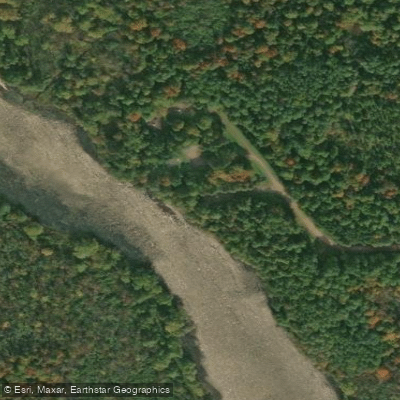
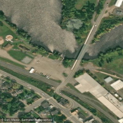
- Elk Lake Landing → Wilson Flowage Public Boat Access
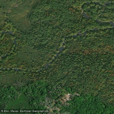
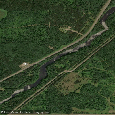
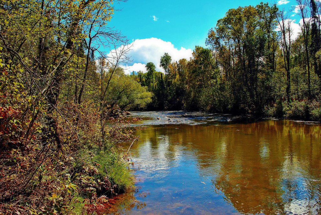
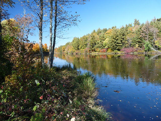
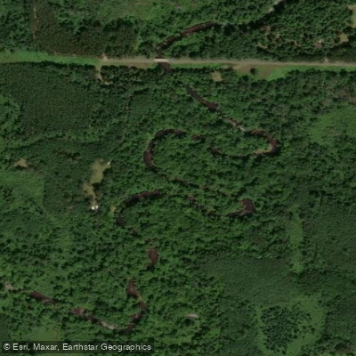
The Elk River in Wisconsin is a scenic northwoods waterway that flows through the heart of the state's forested landscapes. Originating in Elk Lake, the river meanders southward for approximately 20 miles before joining the South Fork of the Flambeau River. This confluence creates a notable increase in water volume as the Elk nears its terminus. Paddlers can experience a range of conditions on the Elk, from calm flatwater stretches to mild Class II-III rapids. The river is generally suitable for intermediate canoeists and kayakers, with some sections appropriate for beginners.
The most popular paddling route runs 9.2 miles from Fleming Rapids Road to Highway W, offering a mix of gentle currents and occasional riffles. Upstream, paddlers can enjoy shorter trips between Big Elk Road, Elk Lake Park, and Jobe Dam. These upper sections tend to be calmer, making them ideal for families or those seeking a more relaxed experience. The river widens and picks up speed as it approaches the South Fork Flambeau, providing a more exciting finale for the longer downstream runs.
The Elk River's flow is influenced by seasonal patterns, with spring snowmelt typically offering the highest water levels. Summer and early fall provide consistent paddling conditions, while late fall can be variable depending on rainfall. The river is generally not recommended for winter paddling due to ice and cold temperatures.
The surrounding ecosystem is characteristic of northern Wisconsin, featuring a mix of coniferous and deciduous forests. Wildlife sightings may include deer, bald eagles, ospreys, and various waterfowl. The river corridor provides important habitat for numerous fish species, including trout in some sections.
Key landmarks include Grassy Lake, located about 1.6 miles downstream from Fleming Rapids Road. This small lake offers a pleasant break in the river's flow and a chance to explore calm waters. The Highway W bridge serves as a common take-out point and provides good access to the river. Nearby towns such as Phillips and Park Falls offer services and accommodations for paddlers planning multi-day trips. While camping directly along the river is limited, there are several established campgrounds in the surrounding area that cater to paddlers and outdoor enthusiasts.
Paddlers should be aware of potential logjams and strainers, particularly in less-traveled sections. As with all Wisconsin waterways, life jackets are required, and paddlers should check local regulations and water levels before embarking on their journey. The Elk River provides a quintessential northwoods paddling experience, offering a blend of natural beauty and mild whitewater adventure.
Curated routes
Hand-picked by the PaddleWays team, with put-ins, take-outs, paddle times and the hazards along the way.
RouteClass I
RouteClass I–II
Hazards
No paddler has reported a hazard here yet, so these are the dams, falls and big rapids on our map. Hazards change with flows and storms, so check them before you launch.
From the community
Nobody has shared a trip on Elk River yet. Paddle it, then tell the next paddler how it went.
See exactly where the public can get on and off the river. Launch points and boat ramps are paired with PaddleWays' public land data so you know where you can legally land.
Public shoreline
27%of the river's shoreline is public
Most of the riverbank is private. Launch, land and camp only at public access points.
Flows, weather and a route-by-route verdict, so you know which stretch of the Elk River is worth paddling today.
No forecast data available.
Live flows, marked hazards and fresh trip reports from paddlers who were just on the water, all in one place.





Every user gets free access to launch points, boat ramps, and public property parcels.
Loading popular cities...
PaddleWays gives you everything you need to plan smarter, paddle better, and own every trip from first launch to takeout.