Blacks Fork
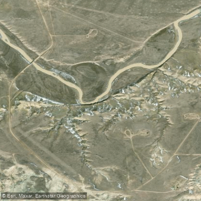
Blacks Fork
- Boat Ramps
- 0
- Access Points
- 1
- Campsites
- 3
The Blacks Fork is a scenic and challenging river system originating in the Uinta Mountains of northeastern Utah. It flows northward for approximately 175 miles before joining the Green River in Wyoming. The river begins as three main stems - the East, West, and Middle Forks - which converge near the Utah-Wyoming border to form the main stem. For paddlers, the Blacks Fork offers a range of whitewater experiences across its various sections.
The West Fork provides a scenic 16-mile Class III-IV run through channels and pockets holding small brook and cutthroat trout. The East Fork features an intense 6-mile Class IV+ stretch best suited for expert kayakers and rafters. The main stem transitions to Class II-III as it flows into Wyoming, with a notable 14-mile Class III section below Meeks Cabin Reservoir. The river's difficulty ranges from Class II to IV+, requiring intermediate to advanced paddling skills.
Spring runoff from May to early July typically offers the best water levels and paddling conditions. Late summer flows can be too low in many sections. The surrounding Uinta Mountains ecosystem supports diverse wildlife including elk, moose, and black bears. Anglers can find good fishing for cutthroat and brook trout, especially in the upper reaches. Notable landmarks include Dead Horse Lake near the West Fork and the scenic Red Castle area accessed from the East Fork.
Primary access points include: - West Fork: Bridge put-in (exact location unspecified) in Utah - East Fork: Guard station off US 150 in Utah - Main stem: Meeks Cabin Reservoir in Wyoming
The Blacks Fork played a role in early Western exploration and fur trading. Today, it offers a wilderness paddling experience in a remote setting. Paddlers should be prepared for self-sufficiency, as cell service is limited. Permits are not required, but check local regulations regarding camping and fire restrictions. For multi-day trips, paddlers can combine sections of the forks and main stem, with primitive camping available along the banks. However, careful planning is essential due to the river's remote nature and challenging whitewater.
Water access, boat ramps & amenities
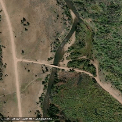
Learn how to get on Blacks Fork. Uncover great paddling access points, boat ramps, and all the facilities you need for an unforgettable day on the water. Some locations shown may border or include private property. Always check property boundaries and applicable regulations before visiting. PaddleWays's Public & Private Land layer can help you plan your access with confidence.
Paddle smarter with real-time insights
Whether you're en route and conditions shift or you're looking for the best spot based on current flows, we enable you to make informed decisions on the fly.








Find Places to Paddle

Over 400,000 Places to Paddle
Every user gets free access to launch points, boat ramps, and public property parcels.


Water and weather conditions (10 day forecast)
See the best times to paddle Blacks Fork and check the forecast before you go.
BLACKS FORK NEAR MILLBURNE, WY
All Flow Stations
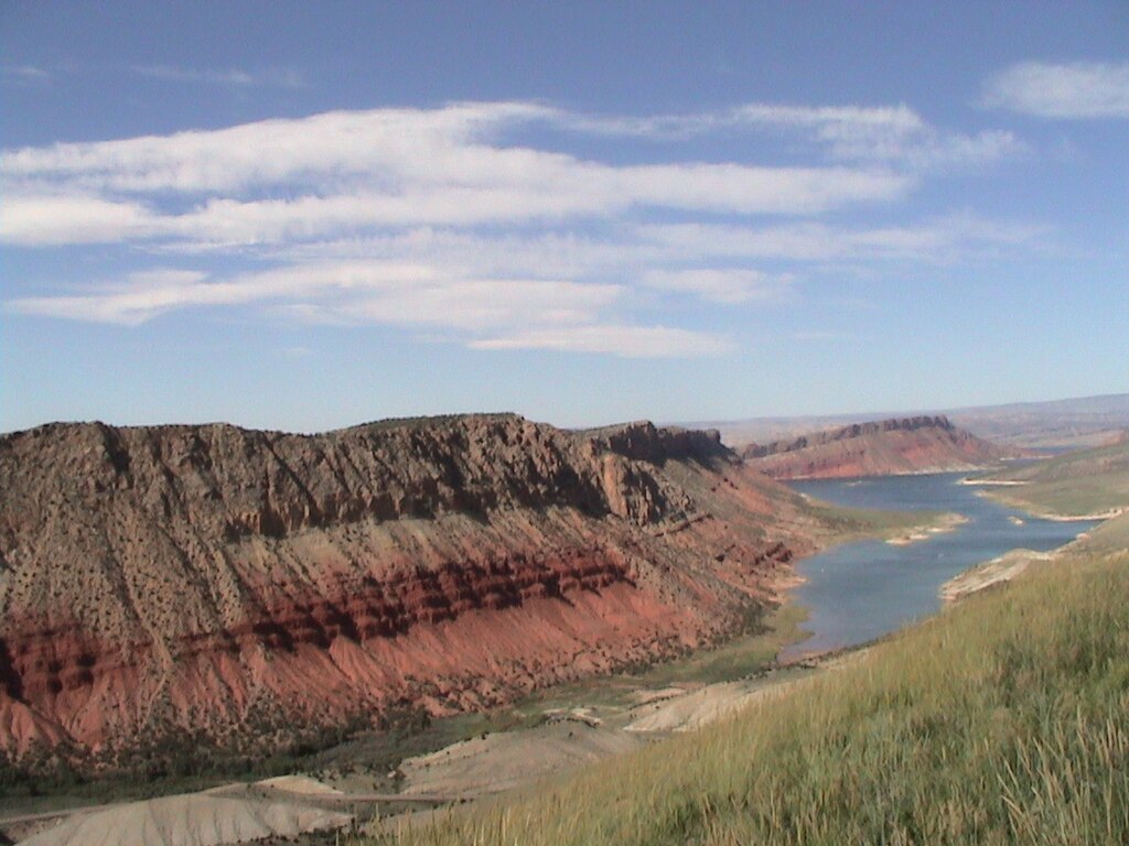
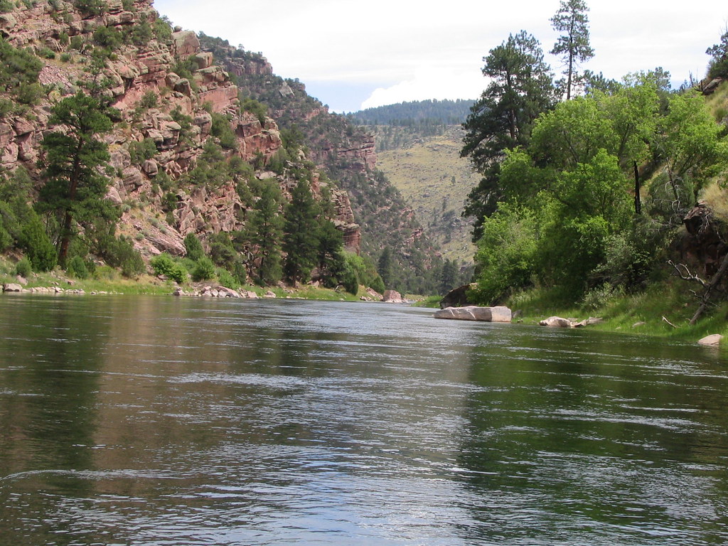
Explore Wyoming waters
Top paddling waters
Popular Cities
Loading popular cities...
Explore near Blacks Fork

Smarter Paddling Starts in the App.
Paddleways gives you everything you need to plan smarter, paddle better, and own every trip from first launch to takeout.