Clarks Fork Yellowstone River
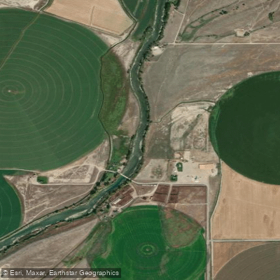
Clarks Fork Yellowstone River
- Boat Ramps
- 4
- Access Points
- 17
- Campsites
- 9
The Clarks Fork Yellowstone River is a major tributary of the Yellowstone River, originating in the Beartooth Mountains of Montana and flowing southeast through Wyoming before joining the Yellowstone. This powerful mountain river carves its way through some of the most dramatic landscapes in the region, including the third deepest canyon in the lower 48 states. For whitewater enthusiasts, the Clarks Fork offers world-class paddling opportunities ranging from challenging Class IV day runs to epic multi-day Class V+ expeditions.
The river is divided into several distinct sections, each with its own character: The Upper Clarks Fork along the scenic Beartooth Highway in Montana features Class IV-V+ rapids through a stunning alpine setting. The Day Stretch near Cooke City, MT is a popular 4.2-mile Class IV-V run that can handle higher flows. The infamous Box Canyon section in Wyoming plunges through a 1,200-foot deep gorge, requiring expert skills to navigate its Class V+ rapids and arduous portages. Other notable sections include the Honeymoon (Class IV-V+) and Styx and Stones (Class IV-V). Given the river's intensity, most sections are suitable only for expert paddlers with solid Class IV-V skills and rescue training.
The paddling season typically runs from late spring through summer, with peak flows in June during snowmelt. The Clarks Fork's rugged canyon provides habitat for a variety of wildlife, including bighorn sheep, black bears, and golden eagles. The surrounding Shoshone National Forest offers spectacular scenery of towering cliffs and pristine wilderness. Key access points include areas near Cooke City, MT and along the Chief Joseph Scenic Byway in Wyoming. The town of Cody, WY serves as a base for many paddlers exploring the river.
Historically, the Clarks Fork Canyon was an important transportation corridor for Native American tribes. In recent decades, the river's wild character has been preserved through its designation as a Wild and Scenic River, protecting it from development.
Safety is paramount on the Clarks Fork. Paddlers must be prepared for remote wilderness, difficult portages, and potentially dangerous river features. Some sections require careful scouting and the ability to make critical decisions in challenging terrain. For those seeking the ultimate paddling adventure, multi-day trips through the Box Canyon offer an intense, committing experience in one of America's most spectacular river canyons. However, these trips demand extensive preparation, top-level skills, and a solid team.
The Clarks Fork Yellowstone stands as one of the premier destinations for expert whitewater kayakers in North America, offering a perfect blend of challenge, scenery, and wilderness immersion.
Water access, boat ramps & amenities
Learn how to get on Clarks Fork Yellowstone River. Uncover great paddling access points, boat ramps, and all the facilities you need for an unforgettable day on the water. Some locations shown may border or include private property. Always check property boundaries and applicable regulations before visiting. PaddleWays's Public & Private Land layer can help you plan your access with confidence.
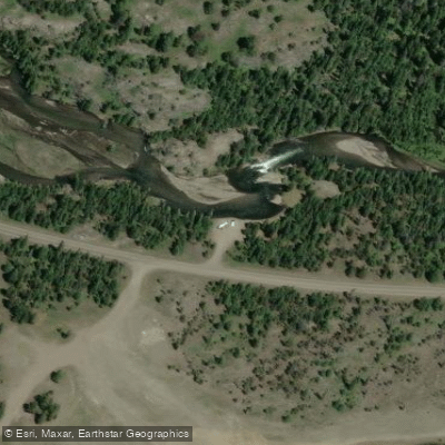
Pilot Creek Access
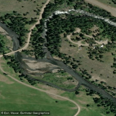
Crazy Creek Access
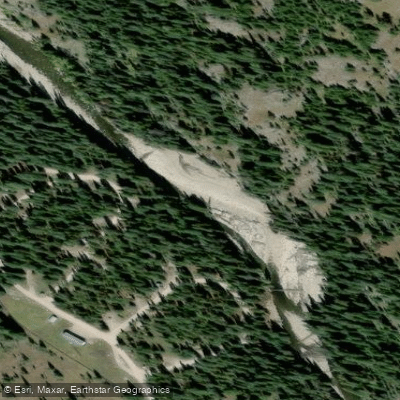
Fox Creek Campground Access
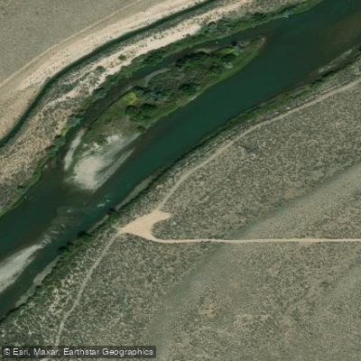
Hillside WGFD access
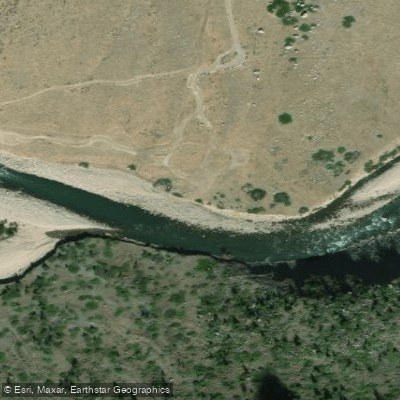
Morrison Jeep Trail Access
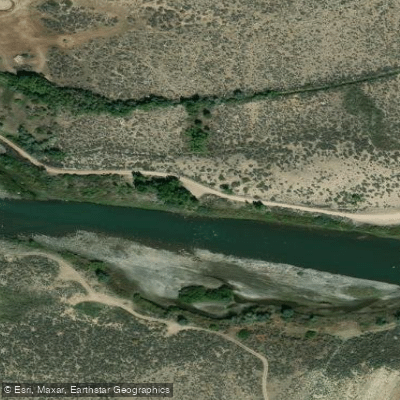
German's Rest access
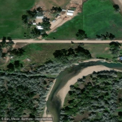
Clarks Fork Yellowstone Access
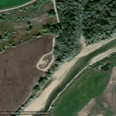
Clarks Fork Yellowstone Access
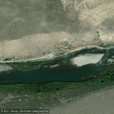
Boulder Access
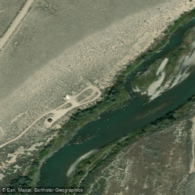
Beartooth Ranch walk in access
Paddle smarter with real-time insights
Whether you're en route and conditions shift or you're looking for the best spot based on current flows, we enable you to make informed decisions on the fly.








Find Places to Paddle

Over 400,000 Places to Paddle
Every user gets free access to launch points, boat ramps, and public property parcels.


Water and weather conditions (10 day forecast)
See the best times to paddle Clarks Fork Yellowstone River and check the forecast before you go.
Clarks Fork Yellowstone River nr Belfry MT
All Flow Stations
Paddling near Clarks Fork Yellowstone River
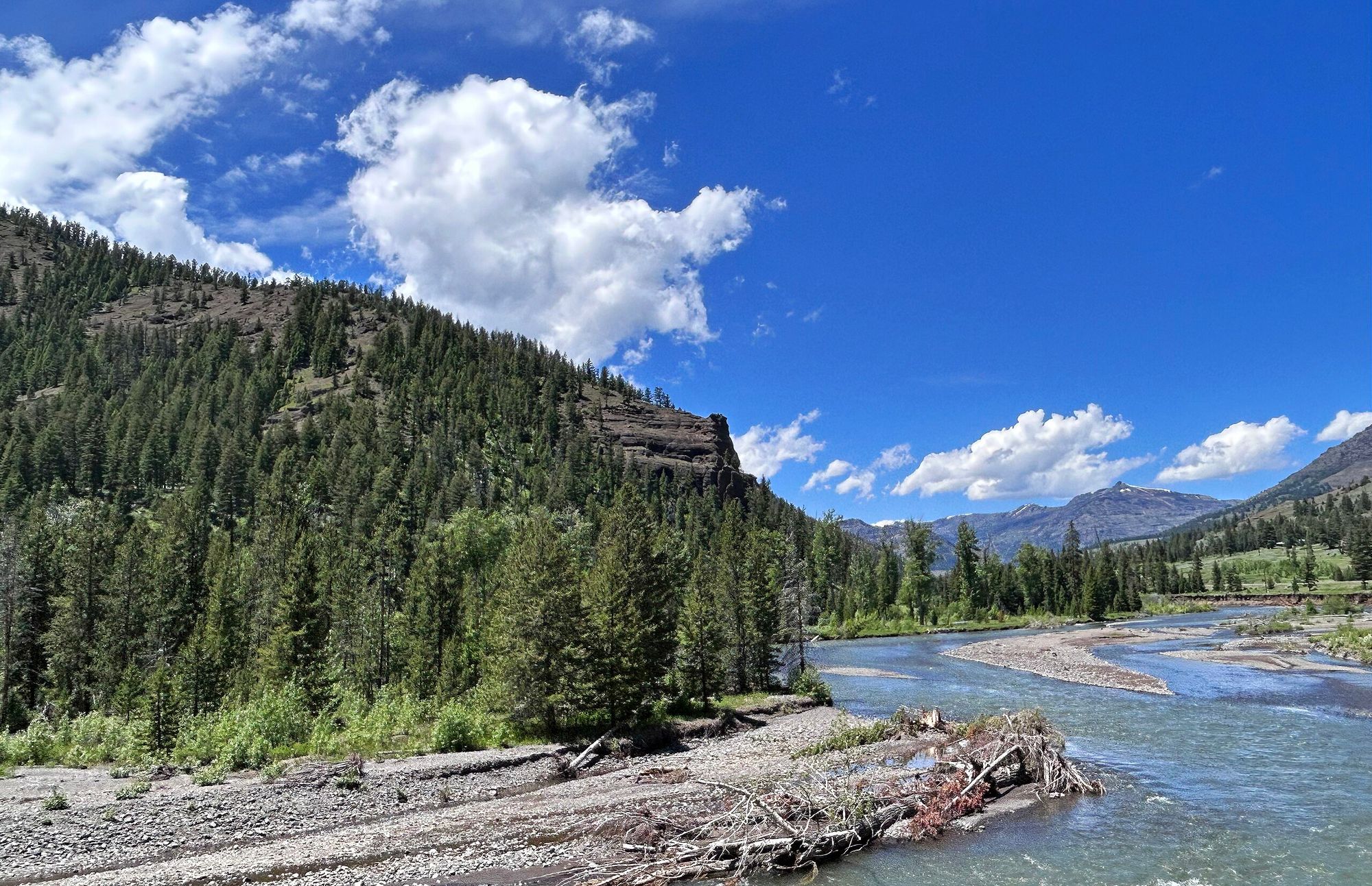
Shoshone River
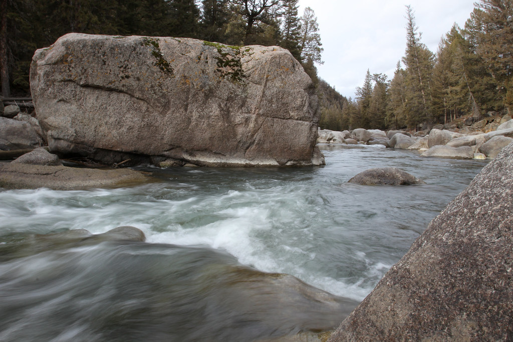
Lamar River
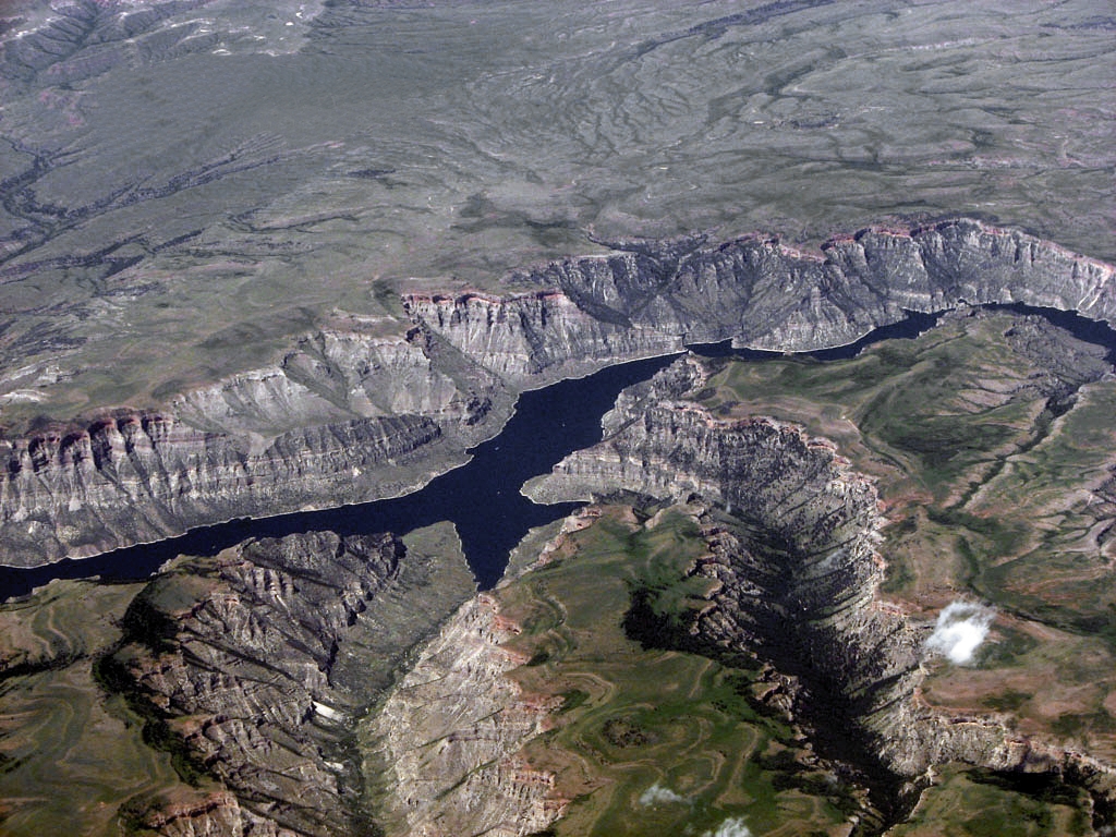
Bighorn Lake
North Fork Shoshone River
South Fork Shoshone River
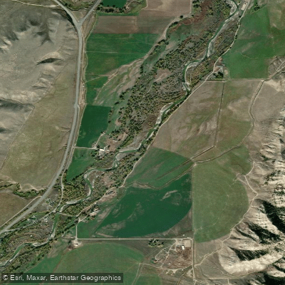
Greybull River
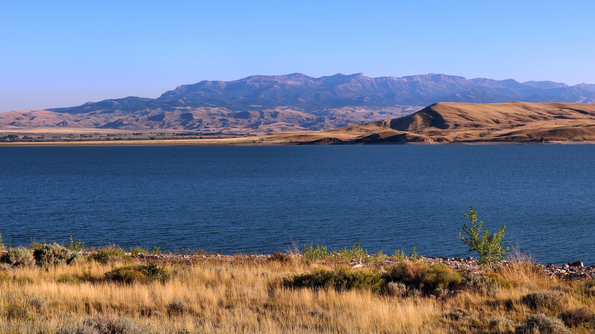
Buffalo Bill Reservoir
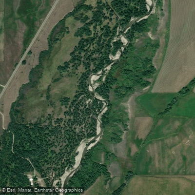
Rock Creek
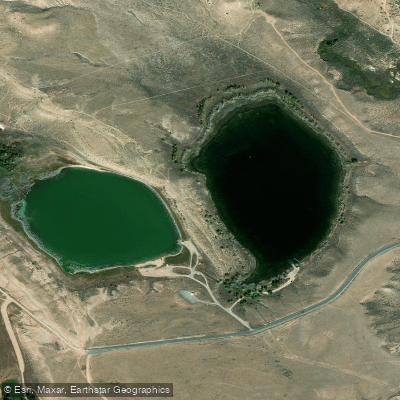
Newton Lakes
Explore Wyoming waters
Top paddling waters
Popular Cities
Loading popular cities...
Explore near Clarks Fork Yellowstone River
Access points
Nearby waters
More in Wyoming

Smarter Paddling Starts in the App.
Paddleways gives you everything you need to plan smarter, paddle better, and own every trip from first launch to takeout.