Curated by PaddleWays
RouteClass III–IV
- Distance
- 1.2 mi
- Paddle time
- ~0.5 hrs
- Put-in → take-out
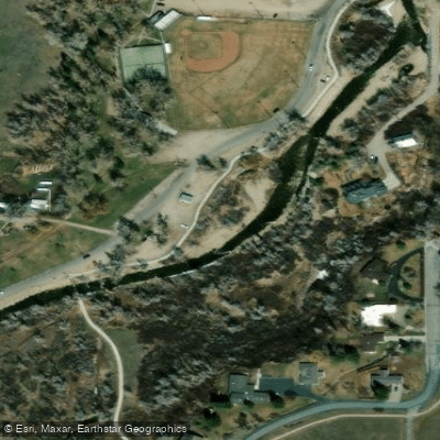
- Lander City Park Access → Highway 287 Bridge Access
Urban river features and fluctuating water levels
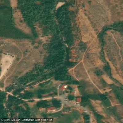
The Middle Popo Agie River, located in west-central Wyoming, is a scenic and challenging waterway that offers exciting whitewater opportunities for skilled paddlers. Originating in the Wind River Range, this river flows through the picturesque Sinks Canyon before passing through the town of Lander.
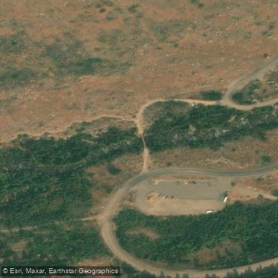
The river is best known for its two main paddling sections: the Sinks Canyon run and the Lander Town Run. The Sinks Canyon section, stretching 5.6 miles from the Highway 181 Bridge to Sinks Cavern, is a Class IV-V run that demands advanced whitewater skills. This stretch features continuous, technical rapids and includes the dramatic Middle Fork Falls, a series of cascades that serve as a highlight of the run.
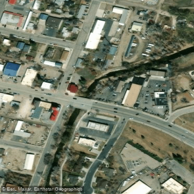
Downstream, the Lander Town Run offers a unique urban paddling experience. This 2-3 mile section, typically Class III-IV depending on water levels, begins at the 287 Bridge in Lander and ends at a local landmark known as the "Whomping Tree". It combines the thrill of whitewater with an interesting urban setting.
The Middle Popo Agie is primarily a spring runoff river, with the best paddling typically occurring in May and June. During this period, snowmelt from the Wind River Range creates optimal water levels for experienced kayakers and rafters. However, the river's difficulty can increase significantly with high water, making it crucial for paddlers to check current conditions and gauge readings before attempting any run.
One of the most intriguing features of the Middle Popo Agie is the phenomenon at Sinks Canyon State Park, where the river dramatically disappears underground into a limestone cavern known as "The Sinks," only to resurface a quarter-mile downstream in a placid pool called "The Rise". This geological wonder attracts visitors year-round and adds to the river's mystique.
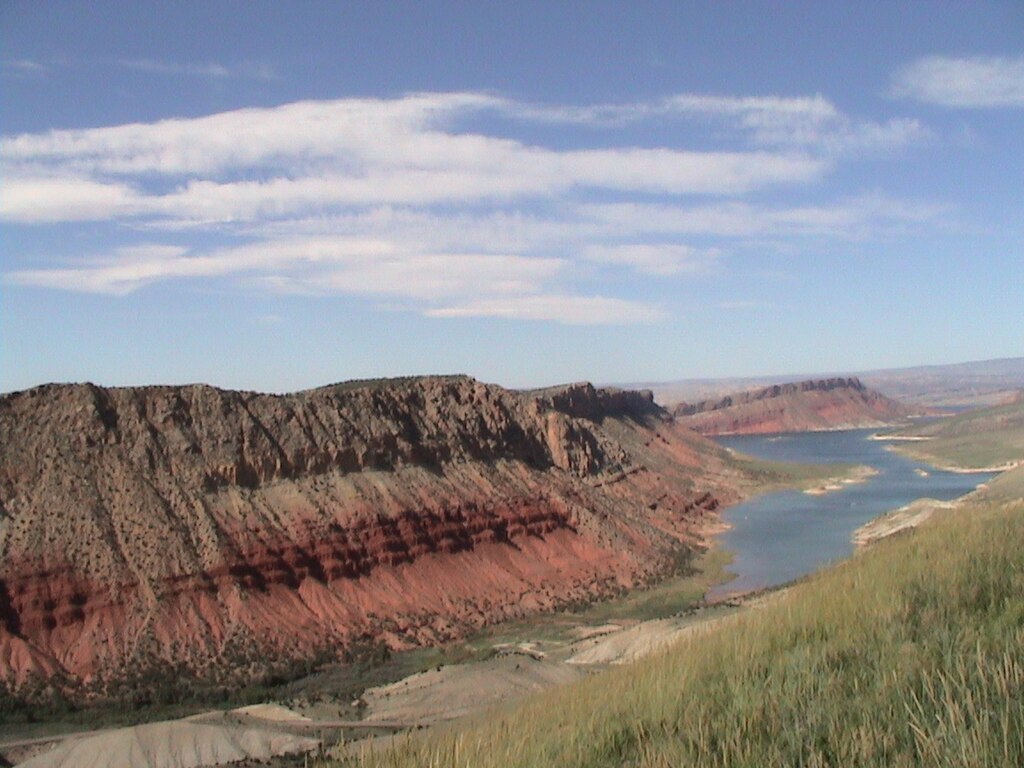
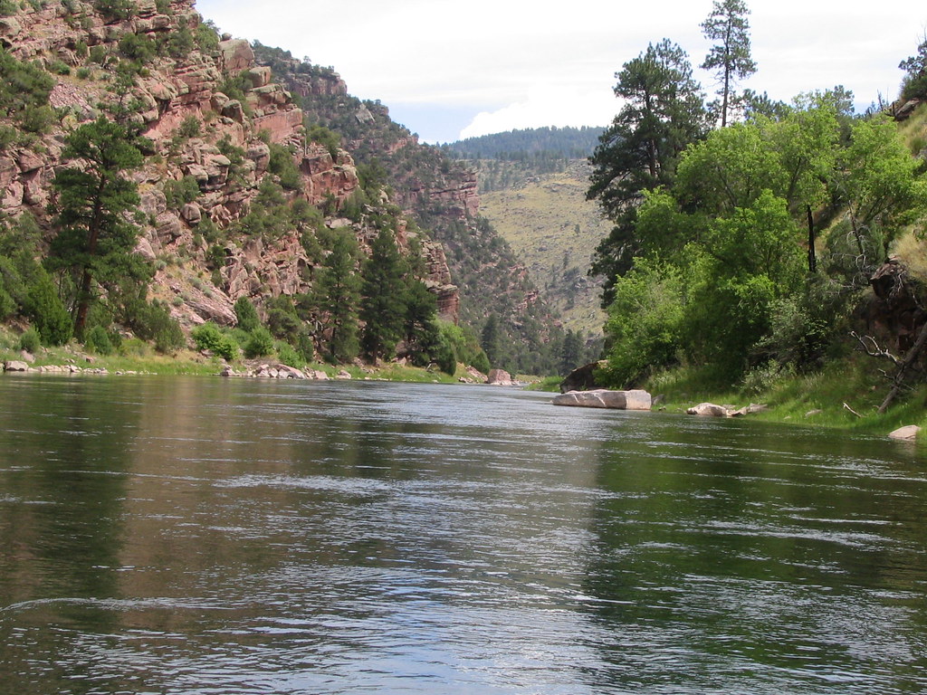
The surrounding landscape is characterized by rugged canyon walls, dense forests, and diverse wildlife. Paddlers may spot various bird species, deer, and occasionally, larger mammals like black bears or moose. The area's natural beauty makes it popular not just for paddling, but also for hiking, fishing, and rock climbing.
Safety is paramount on the Middle Popo Agie due to its challenging nature and remote sections. Paddlers should be well-versed in swift water rescue techniques and always wear appropriate safety gear. It's advisable to scout rapids, especially during high water, and be aware of potential hazards like strainers or undercut rocks.
While multi-day trips are less common on the Middle Popo Agie itself, many paddlers combine their river runs with exploration of the surrounding Wind River Range, known for its stunning alpine lakes and peaks. The town of Lander serves as an excellent base for river adventures, offering amenities, gear shops, and a vibrant outdoor community.
The Middle Popo Agie River, with its challenging whitewater and breathtaking scenery, remains a gem in Wyoming's paddling scene. It offers a perfect blend of thrilling rapids and natural wonders, making it a must-visit destination for experienced whitewater enthusiasts seeking adventure in the heart of the Cowboy State.
Curated routes
Hand-picked by the PaddleWays team, with put-ins, take-outs, paddle times and the hazards along the way.
RouteClass III–IV
RouteClass IV–V
Hazards
No paddler has reported a hazard here yet, so these are the dams, falls and big rapids on our map. Hazards change with flows and storms, so check them before you launch.
From the community
Nobody has shared a trip on Middle Popo Agie River yet. Paddle it, then tell the next paddler how it went.
See exactly where the public can get on and off the river. Launch points and boat ramps are paired with PaddleWays' public land data so you know where you can legally land.
Public shoreline
72%of the river's shoreline is public
Flows, weather and a route-by-route verdict, so you know which stretch of the Middle Popo Agie River is worth paddling today.
No forecast data available.
Live flows, marked hazards and fresh trip reports from paddlers who were just on the water, all in one place.





Every user gets free access to launch points, boat ramps, and public property parcels.
Loading popular cities...
PaddleWays gives you everything you need to plan smarter, paddle better, and own every trip from first launch to takeout.