Justins Bay
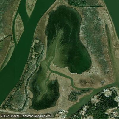
Justins Bay
- Boat Ramps
- 0
- Access Points
- 0
- Campsites
- 1
Justins Bay is part of the Mobile-Tensaw Delta, America's second-largest river delta and one of the most biologically diverse locations in the United States. The bay features two camping shelters connected by an ADA-accessible boardwalk and kayak/canoe launch, accessed through a narrow slough on the bay's southern end. One shelter faces east overlooking Justins Bay while the other faces west toward the Apalachee River.
The area consists primarily of brackish marsh influenced by river flows from the north and tides from Mobile Bay to the south. The landscape is characterized by expansive marshes with occasional cypress stands but few tall trees. The waters support diverse wildlife including fish, crustaceans, marsh and wading birds, flood-tolerant mammals, and alligators, which paddlers should be mindful of.
Access is available via an ADA-compliant kayak launch at the 5 Rivers Delta Resource Center in Spanish Fort. Water levels can drop considerably in winter months, making navigation through the narrow slough difficult. Optimal conditions occur when Claiborne Dam river stages range from 6 to 19 feet on tailrace readings, with levels above this considered hazardous.
The camping shelters accommodate up to eight people and include fixed docks, cooking tables, benches, hammock hooks, and privacy curtains. Upland areas near the shelters provide designated fire rings. Reservations are required and restricted to one night (noon to noon). Paddlers must carry a compass, map, flashlight, and portable toilet. No alcohol is permitted, and pets are not allowed in shelters.
The paddling distance to the shelters is 1.6 miles. Camping fires are prohibited within 20 feet of shelters, though propane cooking stoves are permitted on shelter porches. The site is part of the larger Bartram Canoe Trail system, established in 2003, which provides access to the delta's network of rivers, streams, lakes, sloughs, and bayous.
Water access, boat ramps & amenities
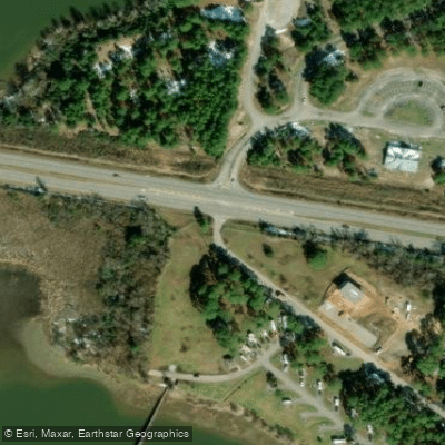
Learn how to get on Justins Bay. Uncover great paddling access points, boat ramps, and all the facilities you need for an unforgettable day on the water. Some locations shown may border or include private property. Always check property boundaries and applicable regulations before visiting. PaddleWays's Public & Private Land layer can help you plan your access with confidence.
Paddle smarter with real-time insights
Whether you're en route and conditions shift or you're looking for the best spot based on current flows, we enable you to make informed decisions on the fly.








Find Places to Paddle

Over 400,000 Places to Paddle
Every user gets free access to launch points, boat ramps, and public property parcels.


Water and weather conditions (10 day forecast)
See the best times to paddle Justins Bay and check the forecast before you go.
No forecast data available.
Paddling near Justins Bay
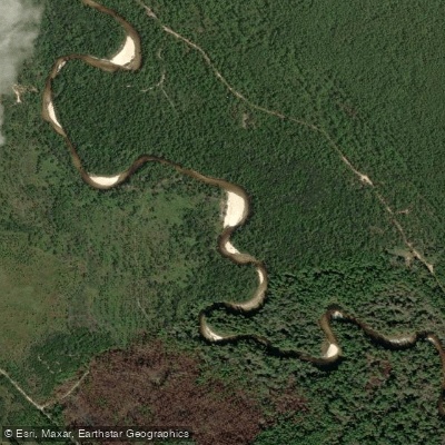
Perdido River
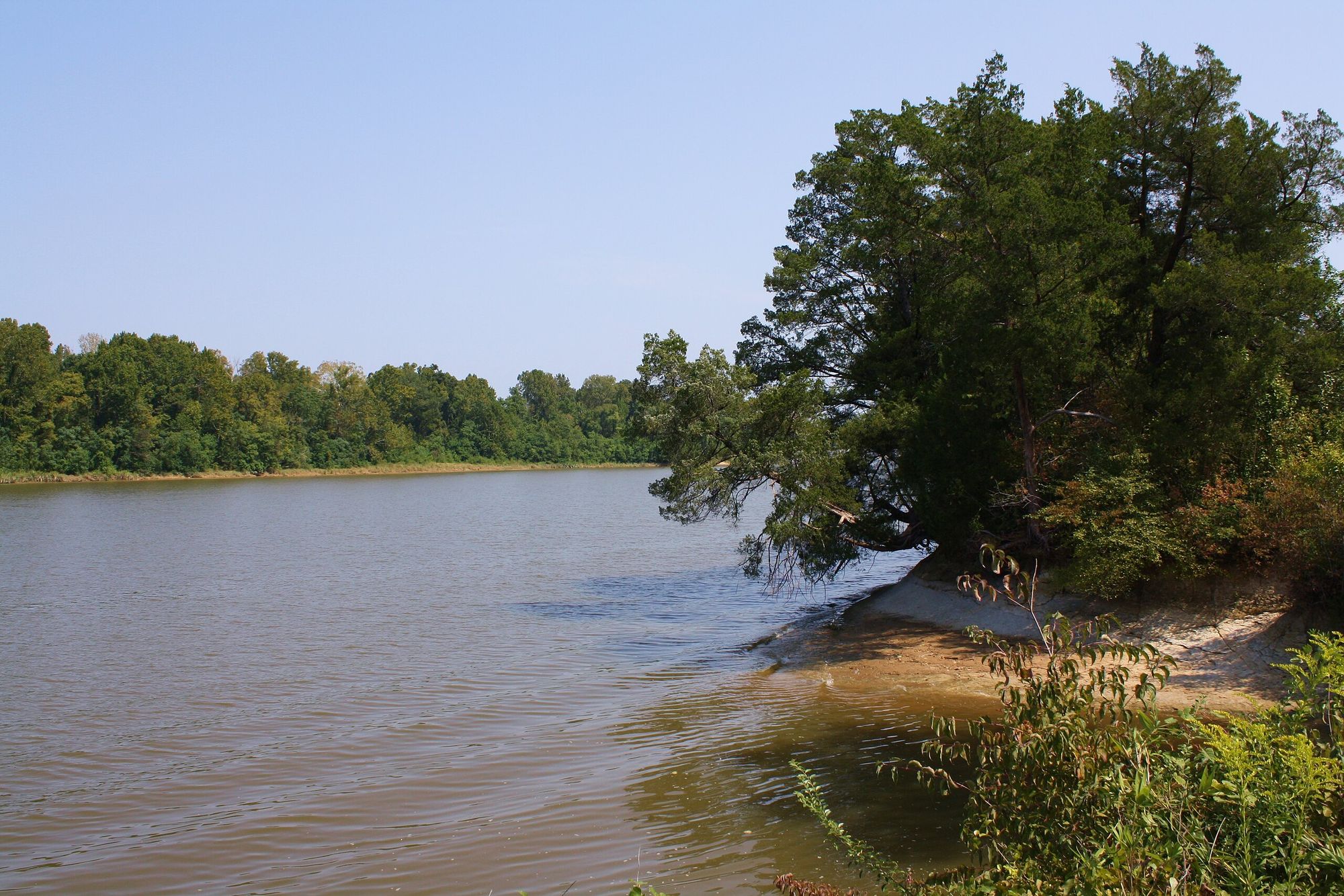
Tombigbee River
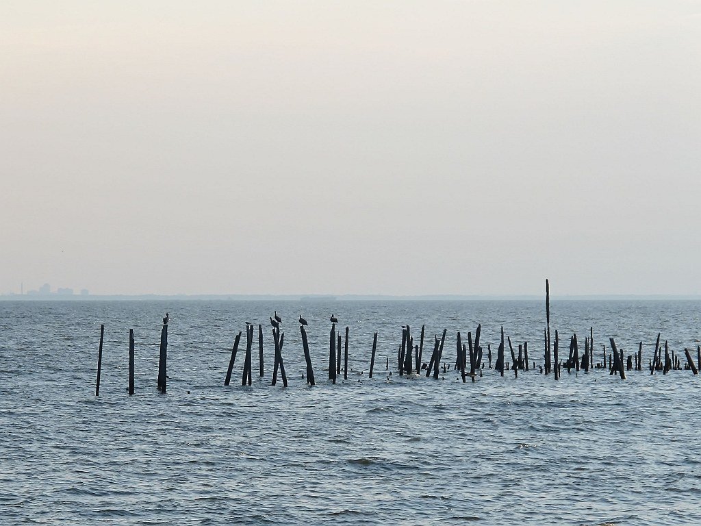
Mobile Bay

Pascagoula River
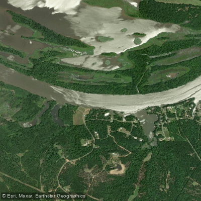
Alabama River
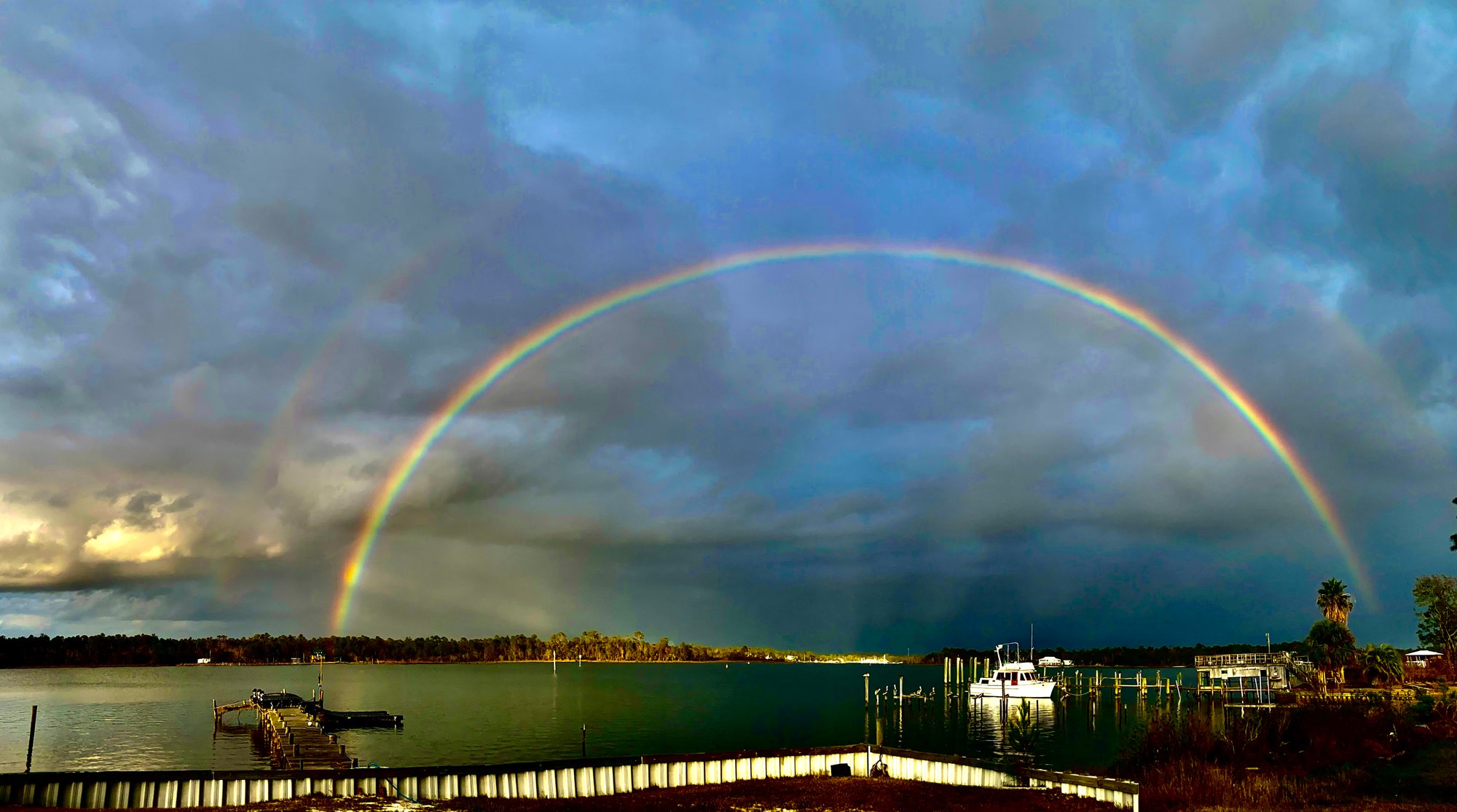
Bon Secour Bay
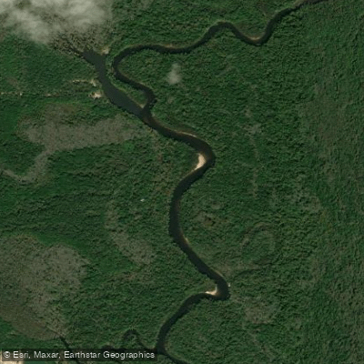
Escambia River
Ducker Bay
Briar Lake
Explore Alabama waters
Top paddling waters
Popular Cities
Loading popular cities...
Explore near Justins Bay
Access points
Nearby waters
More in Alabama

Smarter Paddling Starts in the App.
Paddleways gives you everything you need to plan smarter, paddle better, and own every trip from first launch to takeout.