Briar Lake
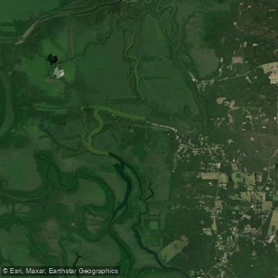
Briar Lake
- Boat Ramps
- 2
- Access Points
- 2
- Campsites
- 5
Briar Lake is part of the Bartram Canoe Trail system in Alabama's Mobile-Tensaw Delta. Paddlers can access Briar Lake via Rice Creek Landing, located 2.9 miles north of the Highway 225/59 split in Stockton on Baldwin County Road 21. The lake is situated between Rice Creek and the Tensaw River, offering a mix of creek, lake, and slough paddling environments.
The area around Briar Lake features bottomland hardwood forests, flowing creeks, and side channel sloughs. Paddlers may encounter diverse wildlife and plant species typical of this unique delta ecosystem. The Richardson Island Trail, a popular day trip route, circles Richardson Island and passes through Briar Lake and Tensaw Lake.
Water levels in Briar Lake are influenced by the Claiborne Dam on the Alabama River. Optimal paddling conditions occur when the Claiborne Dam tailrace readings are between 6 to 19 feet. River stages above 19 feet may be hazardous. Paddlers should check current water levels before their trip.
Several multi-day paddling routes incorporate Briar Lake, including the Two Rivers Point and Jug Lake overnight trails. These routes offer opportunities to explore the surrounding waterways and camp at designated sites. The Jug Lake floating platform campsite, which can accommodate groups of up to eight people, is accessible from Briar Lake.
Paddlers should be prepared for potential hazards such as fallen trees blocking smaller creeks and rivers. Navigation can be challenging due to the complex network of waterways in the delta. It is recommended to use maps from the Bartram Canoe Trail website and follow trail markers closely. Leave No Trace principles should be practiced, including proper waste disposal and minimizing impact on the environment.
Water access, boat ramps & amenities
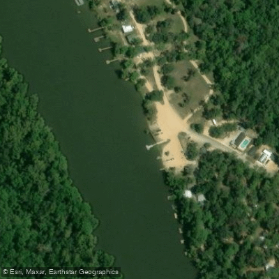
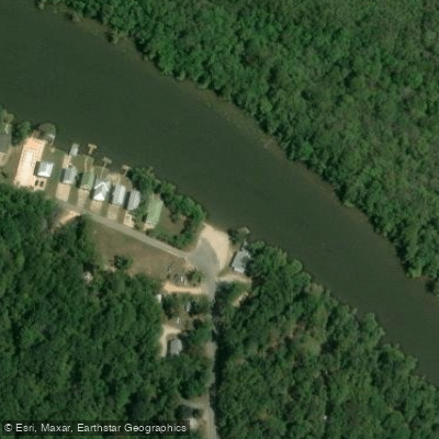
Learn how to get on Briar Lake. Uncover great paddling access points, boat ramps, and all the facilities you need for an unforgettable day on the water. Some locations shown may border or include private property. Always check property boundaries and applicable regulations before visiting. PaddleWays's Public & Private Land layer can help you plan your access with confidence.
Paddle smarter with real-time insights
Whether you're en route and conditions shift or you're looking for the best spot based on current flows, we enable you to make informed decisions on the fly.








Find Places to Paddle

Over 400,000 Places to Paddle
Every user gets free access to launch points, boat ramps, and public property parcels.


Water and weather conditions (10 day forecast)
See the best times to paddle Briar Lake and check the forecast before you go.
No forecast data available.
Paddling near Briar Lake

Pascagoula River
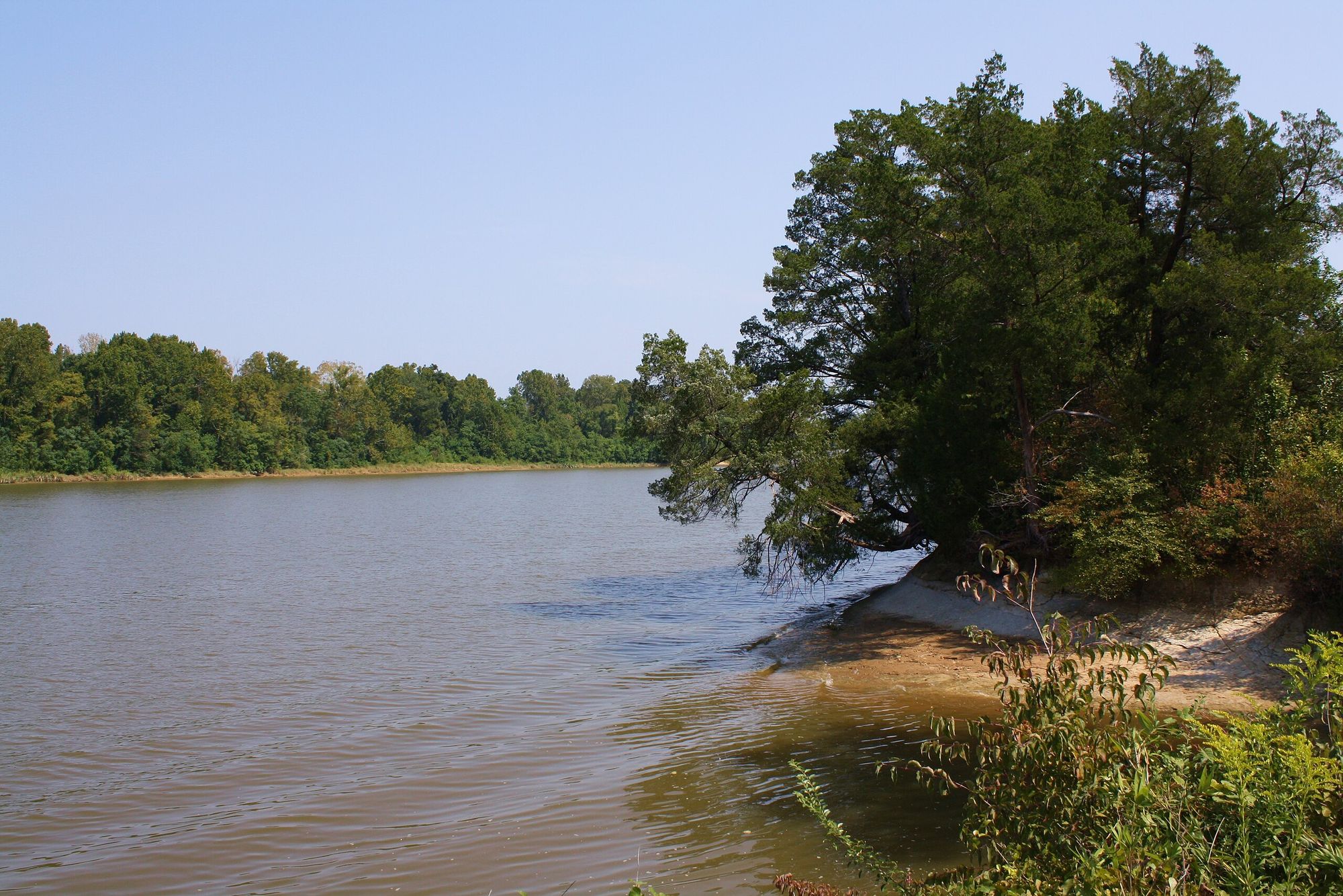
Tombigbee River
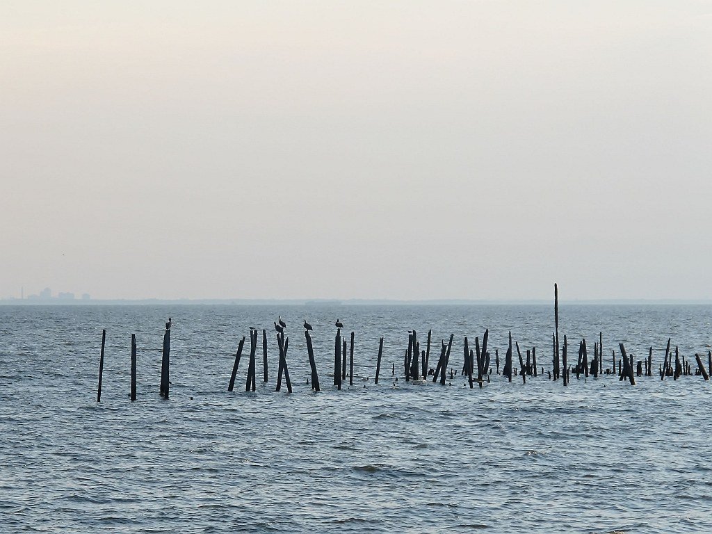
Mobile Bay
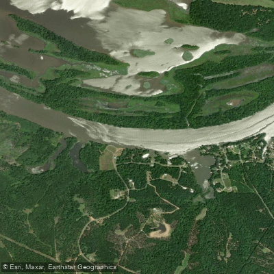
Alabama River
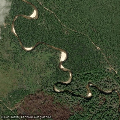
Perdido River
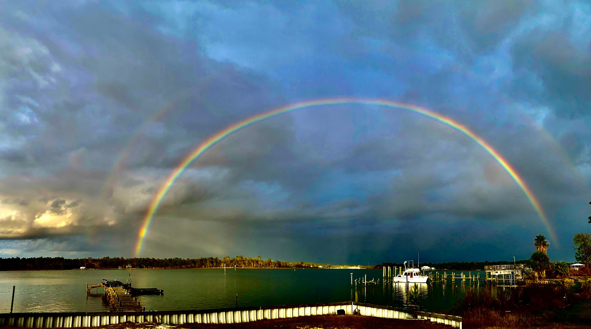
Bon Secour Bay
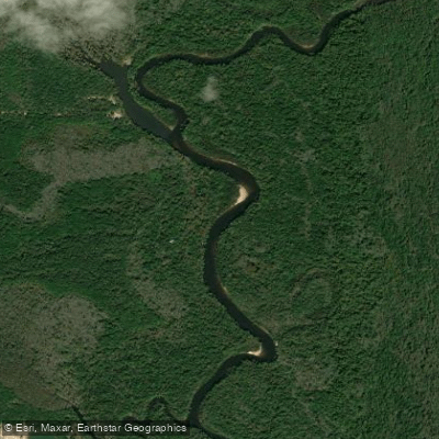
Escambia River
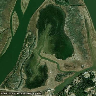
Justins Bay
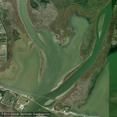
Delvan Bay
Explore Alabama waters
Top paddling waters
Popular Cities
Loading popular cities...
Explore near Briar Lake
Access points
Nearby waters
More in Alabama

Smarter Paddling Starts in the App.
Paddleways gives you everything you need to plan smarter, paddle better, and own every trip from first launch to takeout.