Pickthorne Lake
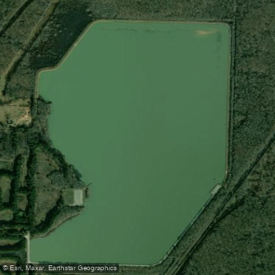
Pickthorne Lake
- Boat Ramps
- 2
- Access Points
- 3
- Campsites
- 5
Tommy L. Sproles Lake Pickthorne is a 347-acre lake located 5 miles northeast of Jacksonville and 7 miles southwest of Cabot, Arkansas. The lake features an average depth of 4.8 feet across most of its surface, with a deeper 15-17 foot channel running along the eastern shoreline. The bottom consists primarily of mud and silt, with some stands of timber along the edges providing structure.
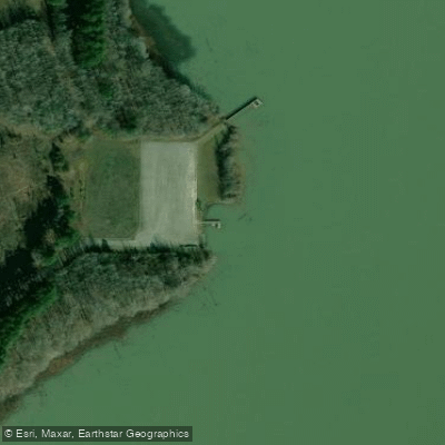
The lake offers good access for paddlers through the Tommy L. Sproles Access on the west side, which includes a fishing pier and parking area. A second pier is available on the east side. Almost a mile of drivable levee surrounds portions of the lake, providing multiple launch points for kayaks.
Paddlers should be aware that the lake's water is typically turbid, limiting visibility. The lake is actively managed for fishing, with numerous fish attractor sites marked on the Arkansas Game and Fish Commission website. These underwater structures, including Christmas trees and stumps, should be noted when paddling.
The surrounding Holland Bottoms Wildlife Management Area provides opportunities to observe various wildlife, including waterfowl that frequent the adjacent rest areas. Alligators have been documented in the lake, with confirmed sightings of 5-6 foot specimens, requiring appropriate caution from paddlers.
The lake is a popular destination for both kayakers and anglers from the Central Arkansas area, offering a convenient paddling location close to metropolitan Little Rock. Bank fishing is common along the levees, so paddlers should be mindful of fishing lines and maintain appropriate distance from shore-based anglers.
Facilities include parking areas and fishing piers, though specific amenities for paddlers are limited. The lake closes to access from November 1 through February 15 as part of the wildlife management area's seasonal restrictions.
Water access, boat ramps & amenities
Learn how to get on Pickthorne Lake. Uncover great paddling access points, boat ramps, and all the facilities you need for an unforgettable day on the water. Some locations shown may border or include private property. Always check property boundaries and applicable regulations before visiting. PaddleWays's Public & Private Land layer can help you plan your access with confidence.
Paddle smarter with real-time insights
Whether you're en route and conditions shift or you're looking for the best spot based on current flows, we enable you to make informed decisions on the fly.








Find Places to Paddle

Over 400,000 Places to Paddle
Every user gets free access to launch points, boat ramps, and public property parcels.


Water and weather conditions (10 day forecast)
See the best times to paddle Pickthorne Lake and check the forecast before you go.
No forecast data available.
Paddling near Pickthorne Lake

Arkansas River
Lake Conway
Bayou Meto

White River
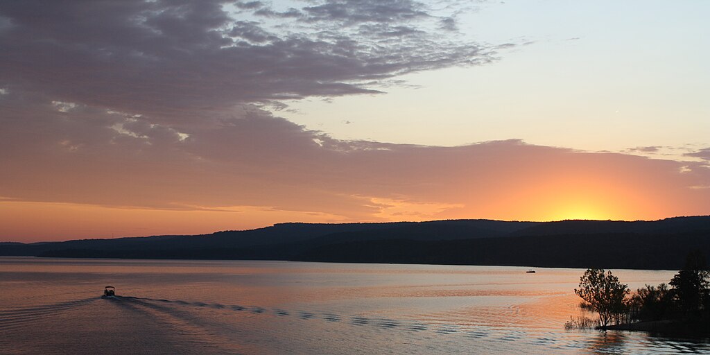
Greers Ferry Lake
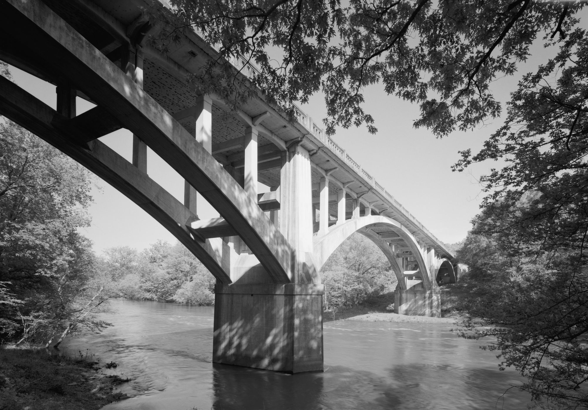
Fourche LaFave River
Saline River
Little Red River
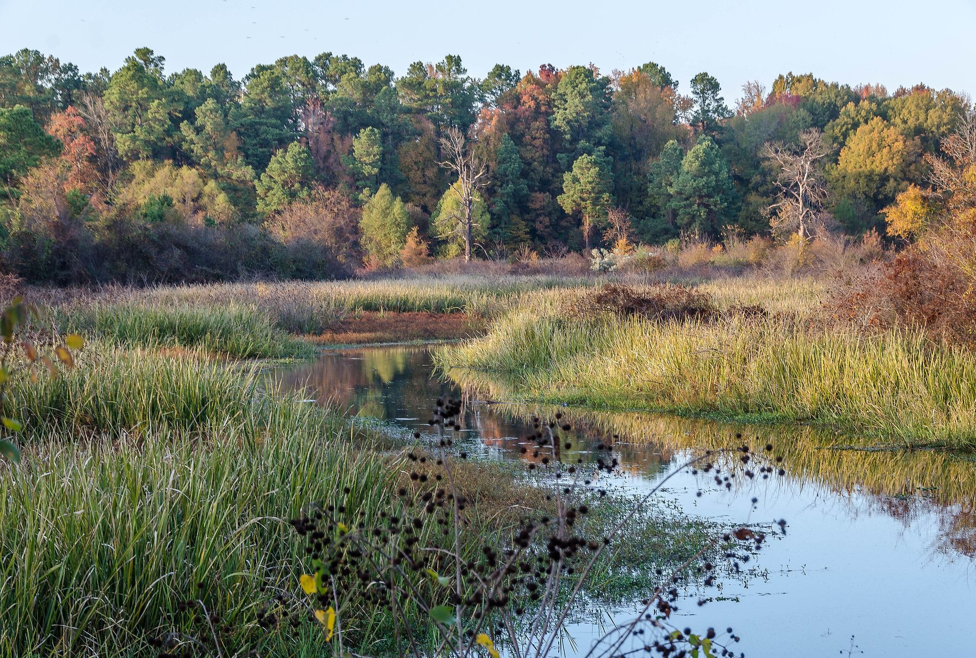
Bayou Bartholomew
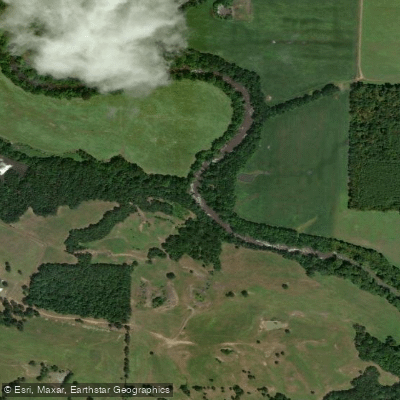
Petit Jean River
Explore Arkansas waters
Top paddling waters
Popular Cities
Loading popular cities...
Explore near Pickthorne Lake
Access points
Nearby waters
More in Arkansas

Smarter Paddling Starts in the App.
Paddleways gives you everything you need to plan smarter, paddle better, and own every trip from first launch to takeout.