Ballona Creek
- Saltwater
- Tidal creek
Ballona Creek
- Saltwater
- Tidal creek
- Sq. miles
- 0
- Boat Ramps
- 0
- Access Points
- 0
- Campsites
- 1
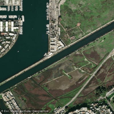
Ballona Creek is a tidal creek in Los Angeles, California, offering a flatwater paddling route that combines urban scenery with natural wetlands. The primary launch point for paddlers is the old boat ramp located next to the Pacific Avenue bridge in Playa Del Rey. This access point features a boat ramp, and amenities include paid parking, free parking, and year-round or seasonal bathrooms. From this launch, a common route involves paddling approximately 2.75 miles upstream to the end of the soft-bottom estuary under the Centinela Avenue bridge, making for a 5.5-mile round trip. The creek ultimately empties into Santa Monica Bay at Marina del Rey, where paddlers can access the open ocean past a breakwater. Tidal planning is essential for a safe and enjoyable trip. Paddling upstream is best done on a rising tide, which aids progress and provides sufficient water depth to avoid shallow hazards. The mouth of the creek where it meets the bay is exposed to westerly swells, which can generate sizeable waves, creating a potential surf zone that requires caution, especially for beginners. The environment along the creek offers a mix of city views, quiet green spaces, and wildflowers, passing through areas of the historic Ballona wetlands. Wildlife sightings may include osprey, cormorants, herons, and ducks. The water offers a tranquil ambiance suitable for urban exploration. The calm, controlled environment of the inland creek section is often recommended for beginner paddlers, while navigating the creek mouth and ocean access requires more advanced skills due to wave conditions.
Water access, boat ramps & amenities
Learn how to get on Ballona Creek. Uncover great paddling access points, boat ramps, and all the facilities you need for an unforgettable day on the water. Some locations shown may border or include private property. Always check property boundaries and applicable regulations before visiting. PaddleWays's Public & Private Land layer can help you plan your access with confidence.
Paddle smarter with real-time insights
Whether you're en route and conditions shift or you're looking for the best spot based on current flows, we enable you to make informed decisions on the fly.








Find Places to Paddle

Over 400,000 Places to Paddle
Every user gets free access to launch points, boat ramps, and public property parcels.


Tides, wind & water conditions (10 day forecast)
On open water, wind and tide matter as much as the weather. See the best times to paddle Ballona Creek and check the marine forecast before you launch.
Loading tide predictions…
Paddling near Ballona Creek
San Gabriel River
Santa Ana River
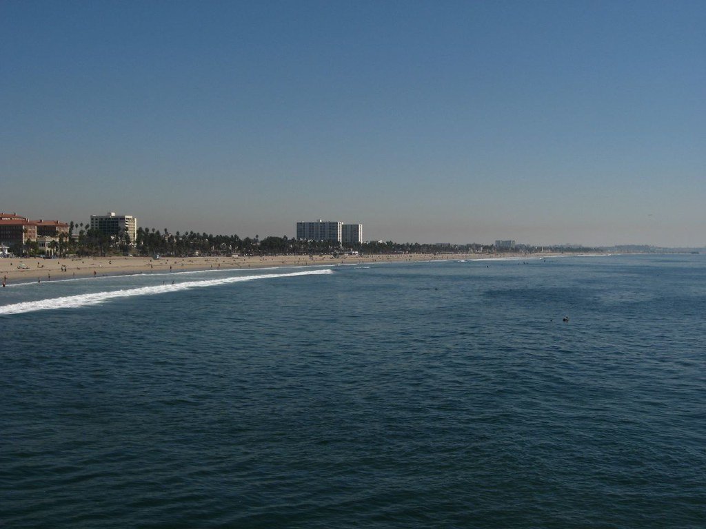
Santa Monica Bay
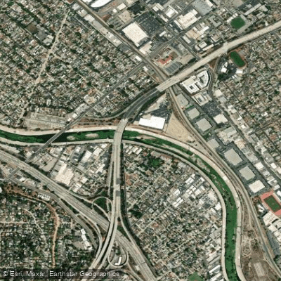
Los Angeles River
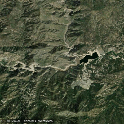
Cogswell Reservoir
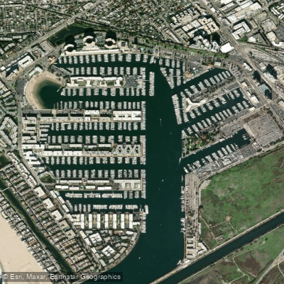
Marina del Rey
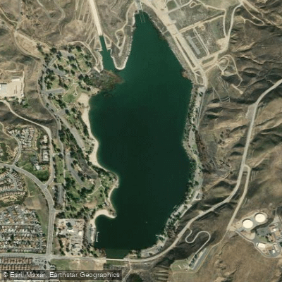
Castaic Lagoon
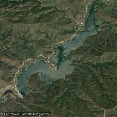
Morris Reservoir

Piru Creek
Explore California waters
Top paddling waters
Popular Cities
Loading popular cities...
Explore near Ballona Creek
Access points
Nearby waters
More in California

Smarter Paddling Starts in the App.
Paddleways gives you everything you need to plan smarter, paddle better, and own every trip from first launch to takeout.