Chinese Harbor
- Saltwater
- Harbor
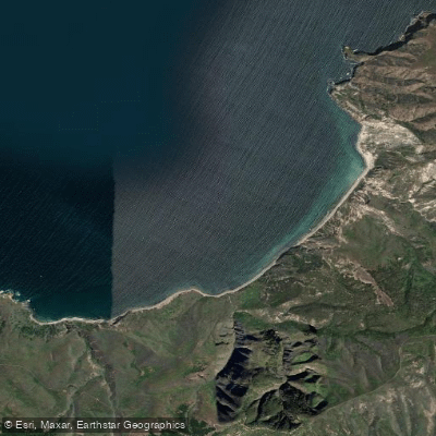
Chinese Harbor
- Saltwater
- Harbor
- Sq. miles
- 1.3
- Boat Ramps
- 0
- Access Points
- 0
- Campsites
- 2
Chinese Harbor, also known as China Bay, is a coastal indentation on the northeast coast of Santa Cruz Island within Channel Islands National Park. It is a destination for experienced sea kayakers, accessible via a multi-mile open-water crossing from the mainland or as a point-to-point paddle from other island locations like Scorpion Anchorage. There is no formal launch facility directly at Chinese Harbor; paddlers typically access it by landing on its cobblestone beach, which requires careful navigation through a surf zone. The harbor offers limited protection, especially from west winds and swell, which can create a roiling sea state even with an opposing easterly breeze. Prevailing conditions are heavily influenced by the Santa Barbara Channel, where strong, shifting winds are common. Santa Ana winds can blow from the east at 30 knots or more, but these are frequently followed by a dramatic 180-degree shift to strong westerlies, a critical safety consideration for trip planning as a lee shore can develop quickly.
The paddling experience is defined by dramatic coastal scenery, including sheer yellow cliffs and numerous sea caves along the route. Wildlife sightings, such as the endemic Channel Islands fox, are common on shore. The harbor itself is relatively small and open, with anchoring depths around 40 feet over a sand bottom. For kayakers based at Scorpion Anchorage on Santa Cruz Island, a day trip to Chinese Harbor and back covers approximately 10 miles of coastline rich with rock formations and caves. Paddlers must be entirely self-sufficient, as there are no facilities, potable water, or services. All trash must be packed out. The water is part of a national park and marine sanctuary, and general cleanliness is high, though water temperatures are cool year-round due to the Pacific Ocean influence. The primary appeal is remote, exposed coastal exploration suited for skilled paddlers with solid seamanship, self-rescue capabilities, and appropriate gear for rapidly changing conditions.
Water access, boat ramps & amenities
Learn how to get on Chinese Harbor. Uncover great paddling access points, boat ramps, and all the facilities you need for an unforgettable day on the water. Some locations shown may border or include private property. Always check property boundaries and applicable regulations before visiting. PaddleWays's Public & Private Land layer can help you plan your access with confidence.
Paddle smarter with real-time insights
Whether you're en route and conditions shift or you're looking for the best spot based on current flows, we enable you to make informed decisions on the fly.








Find Places to Paddle

Over 400,000 Places to Paddle
Every user gets free access to launch points, boat ramps, and public property parcels.


Tides, wind & water conditions (10 day forecast)
On open water, wind and tide matter as much as the weather. See the best times to paddle Chinese Harbor and check the marine forecast before you launch.
Loading tide predictions…
Paddling near Chinese Harbor
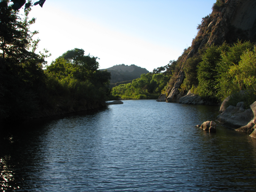
Santa Ynez River
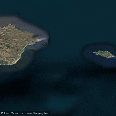
Anacapa Passage
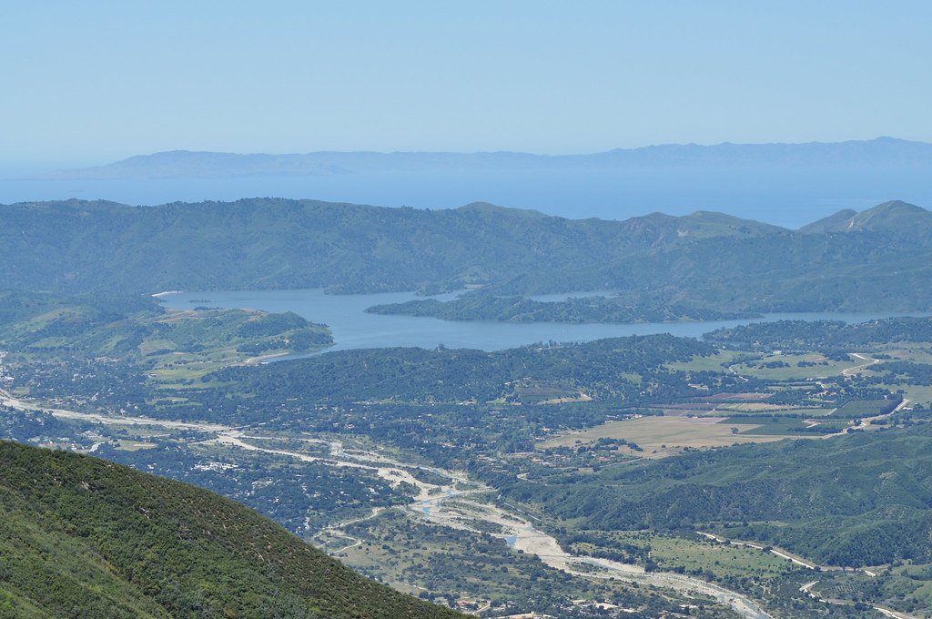
Lake Casitas
Sespe Creek
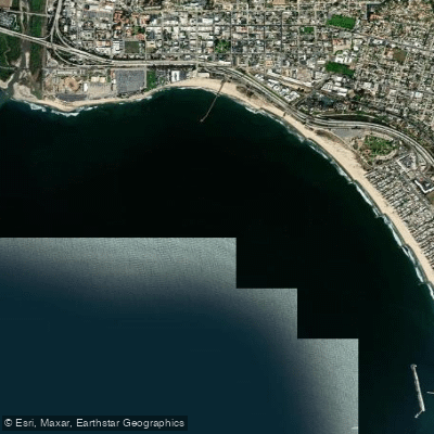
Pierpont Bay

Piru Creek
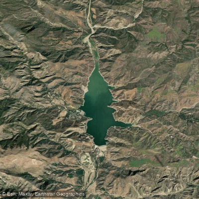
Lake Piru
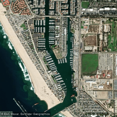
Channel Islands Harbor
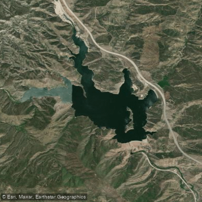
Pyramid Lake
Explore California waters
Top paddling waters
Popular Cities
Loading popular cities...
Explore near Chinese Harbor

Smarter Paddling Starts in the App.
Paddleways gives you everything you need to plan smarter, paddle better, and own every trip from first launch to takeout.