Curated by PaddleWays
RouteClass II–IV
- Distance
- 10.3 mi
- Paddle time
- 1 day
- Put-in → take-out
- Highway 49 → Latrobe
Storm-driven fast, high currents
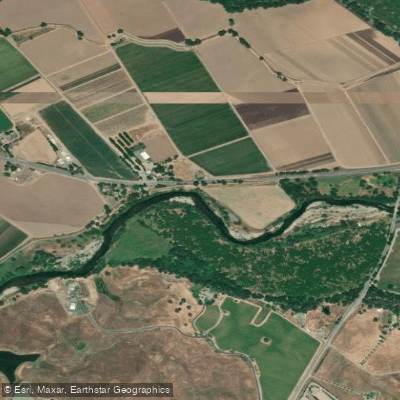
The Cosumnes River flows approximately 52.5 miles from the western slopes of the Sierra Nevada through California's Central Valley before emptying into the Mokelumne River in the Sacramento-San Joaquin Delta. This river holds the distinction of being the last major undammed river flowing from the Sierra Nevada into the Central Valley, making it an increasingly rare example of a free-flowing California waterway. The river is formed at the confluence of its North and Middle Forks in El Dorado County, then flows through Amador and Sacramento counties, passing through communities including Plymouth, Rancho Murieta, Sloughhouse, Wilton, Elk Grove, and Galt.
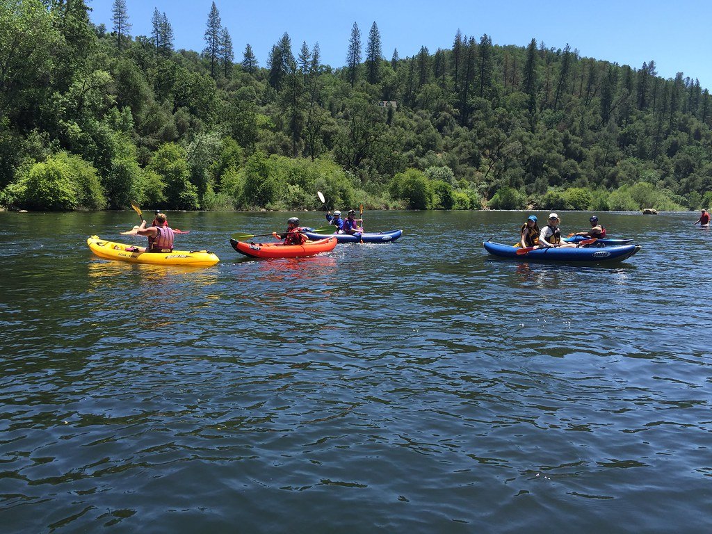
Paddlers encounter dramatically different experiences depending on which section they choose. The upper reaches offer serious whitewater challenges, with the Upper Middle Cosumnes (UMC) presenting Class V-V+ rapids through miles of technical granite gorges. The Middle Fork from Outingdale to Highway 49 delivers 9.6 miles of continuous Class IV whitewater with no portages required. Moving downstream, the Highway 49 to Latrobe section provides a full-day adventure with two miles of excellent Class IV rapids (including one mandatory portage around a waterfall) before transitioning to easier Class II water. These upper sections typically run from December through June, with optimal flows varying by difficulty—kayakers can navigate some sections with as little as 170 cfs, while rafters generally prefer 600-2000 cfs.
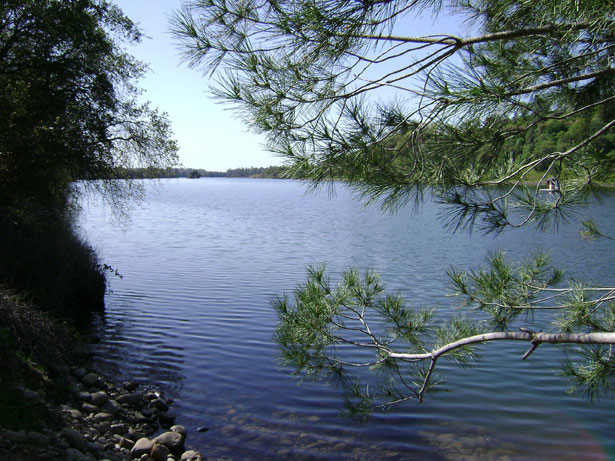
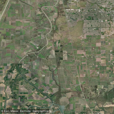
The lower Cosumnes at the Cosumnes River Preserve offers an entirely different experience with flatwater paddling through one of California's most ecologically significant landscapes. The preserve protects over 50,000 acres including California's largest remaining valley oak riparian forest—habitat that has been reduced by more than 90% statewide. Paddlers launching from the preserve's dock can explore sloughs and main channels through wetlands supporting more than 250 bird species, 40 fish species, and 230 plant species. Common wildlife sightings include great-horned owls, red-tailed hawks, white-tailed kites, river otters, beavers, egrets, herons, and cormorants.
Access to the lower river is strictly regulated, with only two designated take-out points at "The Point" and "Tall Forest" to protect sensitive habitat. The preserve recommends a leisurely three-hour paddle that can be enjoyed spring through fall, though flows can become dangerously swift during and immediately after storms.
The river's name derives from a Miwok word using the "-umne" suffix meaning "people of" combined with "cos-" meaning "salmon or fish," reflecting its historical importance to indigenous peoples. The California Office of Environmental Health Hazard Assessment has issued fish consumption advisories for the river. Whitewater paddlers should note poison oak presence on portage routes and be prepared for multiple carries on the most technical sections.
Curated routes
Hand-picked by the PaddleWays team, with put-ins, take-outs, paddle times and the hazards along the way.
RouteClass II–IV
RouteClass IV
Hazards
No paddler has reported a hazard here yet, so these are the dams, falls and big rapids on our map. Hazards change with flows and storms, so check them before you launch.
From the community
Nobody has shared a trip on Cosumnes River yet. Paddle it, then tell the next paddler how it went.
See exactly where the public can get on and off the river. Launch points and boat ramps are paired with PaddleWays' public land data so you know where you can legally land.
Public shoreline
15%of the river's shoreline is public
Most of the riverbank is private. Launch, land and camp only at public access points.
Flows, weather and a route-by-route verdict, so you know which stretch of the Cosumnes River is worth paddling today.
All Flow Stations
Live flows, marked hazards and fresh trip reports from paddlers who were just on the water, all in one place.





Every user gets free access to launch points, boat ramps, and public property parcels.
Loading popular cities...
PaddleWays gives you everything you need to plan smarter, paddle better, and own every trip from first launch to takeout.